

Last month, I posted photos of colorful lava (here) that I saw on a hike I’d just done. In that post, I noted that ‘I’ll do a post about the trail once I’ve gone through the way-too-many photos I took that day!’ With all that’s been going on in the interim, processing those photos took a long time, but now I’m done. So here’s the first of three posts about the trail, not that you can follow in my footsteps right now because Hawaii Volcanoes National Park is currently closed.
As the name indicates, the Puna Coast Trail travels along the coast of the park, but it starts about a mile inland, across Chain of Craters Road from the Pu’u Loa Petroglyphs trailhead. The trail is 11.3 miles long and ends at Halapē campground, but I only hiked as far as ʻĀpua Point, 6.6 miles along the trail. This rugged trail can be hot, windy, and wet so sturdy shoes or boots, a hat, sunscreen, and raingear are a must. There’s no fresh water on the trail so take plenty, as well as enough to eat.
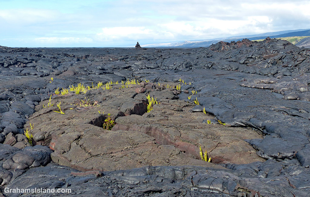
The trail starts by crossing the 1972 flow from an eruption at Mana Ulu. In the top photo, lava from this flow surrounds a small area of older lava. The ferns growing in the cracks are Polypodium pellucidum, an endemic fern known in Hawaii as ae (pronounced Ah Ay). These ferns are among the first plants to grow in new lava fields. The faint outline of the trail can be seen extending from the middle left of the photo to the cairn on the horizon.
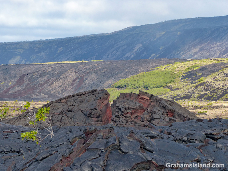
Second photo: An upwelling in an old lava flow has cracked open to reveal a variety of colors within. In the background is Hōlei Pali. A pali is a steep slope or cliff. When a flow goes over a pali, it can often be seen, safely, from a distance away.
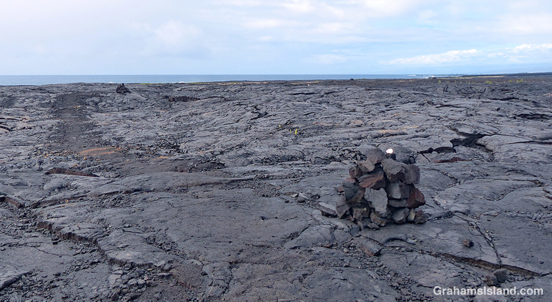
Third photo: A trail-marking cairn on a section of older lava that has been somewhat revegetated. The noni (Morinda citrifolia) shrub beside the cairn is another early colonizer of lava flows being tolerant of the harsh conditions found there. Noni is a ‘canoe plant,’ having been introduced to Hawaii by the first Polynesians who arrived in their ocean going canoes.
Fourth photo: Cairns mark the trail across the expanse of lava from the 1971 flow, where very little vegetation can be found. This first part of the trail angles down toward the ocean, which can be seen in the distance.
Below: Colorful smooth pahoehoe lava lies on top of ropey pahoehoe lava, from the same 1971 flow. The kind of lava can change quite quickly as conditions change in the flow itself and the terrain it travels through. This also shows the colors in different layers of lava as well as an ae fern getting a toehold.
Bottom: A little hill of pahoehoe lava showing its different forms all jumbled up. I almost included this photo in the earlier post since its colors, textures, and swirls were unexpected art for me.
Tomorrow, part two follows the hike along the coast itself.
For more information about Hawaii Volcanoes National Park, go to nps.gov/havo/. For more information about the Puna Coast Trail, go to bigislandhikes.com/puna-coast-trail.


It looks like such a primeval landscape, and yet it is so new! Those swirls, colours and textures in the last two photos are incredible.
LikeLiked by 1 person
It was interesting that walking over the colored lava was different than walking over the black lava. The black pahoehoe lava tends to crunch a bit underfoot, but that wasn’t the case with the colorful lava. So it wasn’t just the look of the lava, but also the feel and sound of it that was different.
LikeLiked by 1 person
Interesting that walking over the lava is a tactile experience too.
LikeLiked by 1 person
Yes, it’s quite noticeable.
LikeLiked by 1 person
Pingback: Puna Coast Trail: Apua Point | Graham's Island
Pingback: Puna Coast Trail: Along the coast | Graham's Island
Amazing shots, Graham. I love how nature barges right back in and plants seeds of plants.
LikeLiked by 1 person
There’s another photo, in tomorrow’s post, that’s also a good illustration of that.
LikeLiked by 1 person