It’s been a while since I was last at Pohoiki, also known as Isaac Hale Beach Park. One reason for this is that it’s about as far away from where I live as is possible on the island. But back in July 2016, I went down there at an ungodly hour to board a boat and go see lava flowing into the ocean. I wrote about that trip here and here. At the park were restrooms, picnic tables, and a boat launch ramp protected by a small breakwater.
Last year, Pohoiki was in the news because it was where the flow from the 2018 Kilauea eruption finally ground to a halt, about 100 yards short of the boat ramp. A few days ago, I decided to revisit the park and see the changes that had taken place.
Driving into the park, the cooled lava flow could be seen, stretching down the side of the grassy picnic area (bottom photo). But what I really wanted to see was the boat ramp and the black sand beach at the bottom of the park. They did not disappoint.
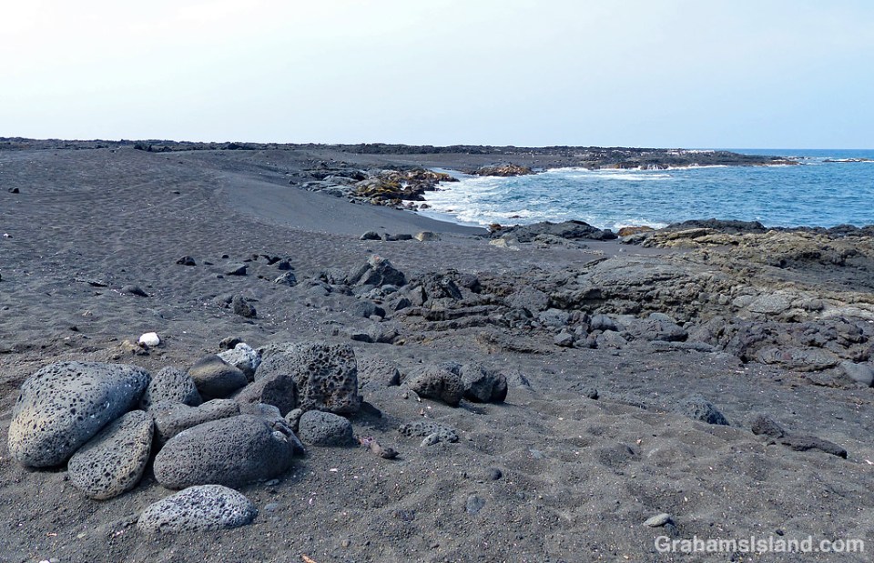
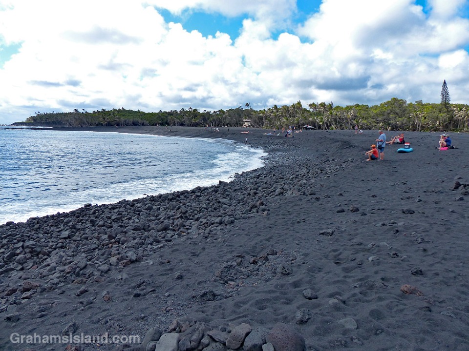
The boat ramp, previously used to launch quite large boats, including the lava tour catamaran of 2016, now leads to a small lagoon (top photo). (Note the signs on the left of the photo.) This lagoon is perfect for swimming or sailing model boats, but as a boat launch ramp it has one big drawback. There’s now a long, deep, curve of black sand separating the ramp from the ocean (photo below). This beach began forming during the eruption, but I was surprised by how substantial it was. It’s rocky in places and the sand is quite coarse, but it is unquestionably a beach and it looks like it’s here to stay.
An indication of the beach’s substance can be seen in the second photo. The red triangle on a pole marked the end of the breakwater. Now it’s deep in sand. The breakwater is still there, but almost entirely buried.
The beach was formed by lava pouring into the ocean. Some of it solidified into large chunks, but a lot was quickly broken into smaller pieces and fine sand. (In the postings about my 2016 trip, one of the photos shows a black sand beach forming at the base of the flow.) A good deal of this sand was carried a short way down the coast to form this new beach.
I don’t have a good photo of the park before these changes, but the local newspaper has an aerial view here that shows the features I’ve mentioned. In that photo, the boat ramp, breakwater, and rocky shore can be seen at the bottom. Top left is the restrooms building that is also top left in the bottom photo here. The paths and picnic tables can also be seen.
I’d expect that on my next visit, all these new features that I’ve mentioned will still be there, but there is one caveat. If there’s a new eruption in this area, then everything could change. It’s one of the facts of life of living near an active volcano.
Posted in response to this week’s Friendly Friday challenge on the theme of ‘Revisited.’ See more responses here. Tomorrow, I’ll post a few more photos in response to the Sunday Stills photo challenge.

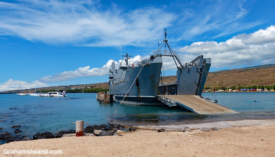
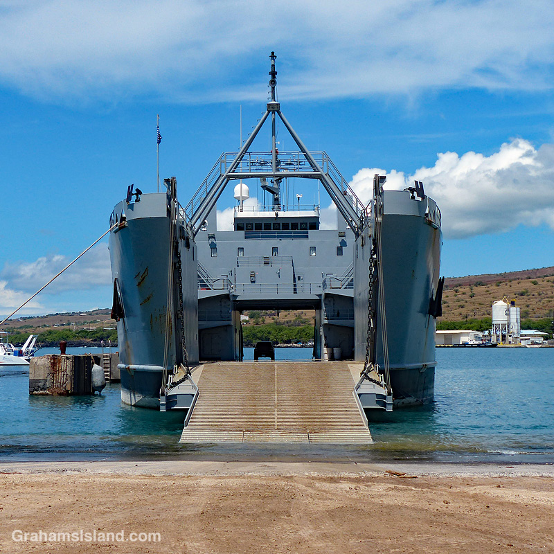 This is the ship that brings military troops and supplies from Oahu to Kawaihae Harbor en route to Pōhakuloa Training Area (PTA). I often see the ship going back and forth off the Big Island and had always assumed it to be a Navy vessel because, well, it’s a ship. But no, this is an Army LSV (Landing Ship, Vehicle) where they drop the ramp and roll the vehicles on or off.
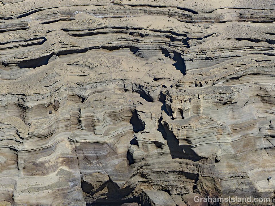 These cliffs, all layers and curves, enclose one side of Green Sand Beach near South Point.