
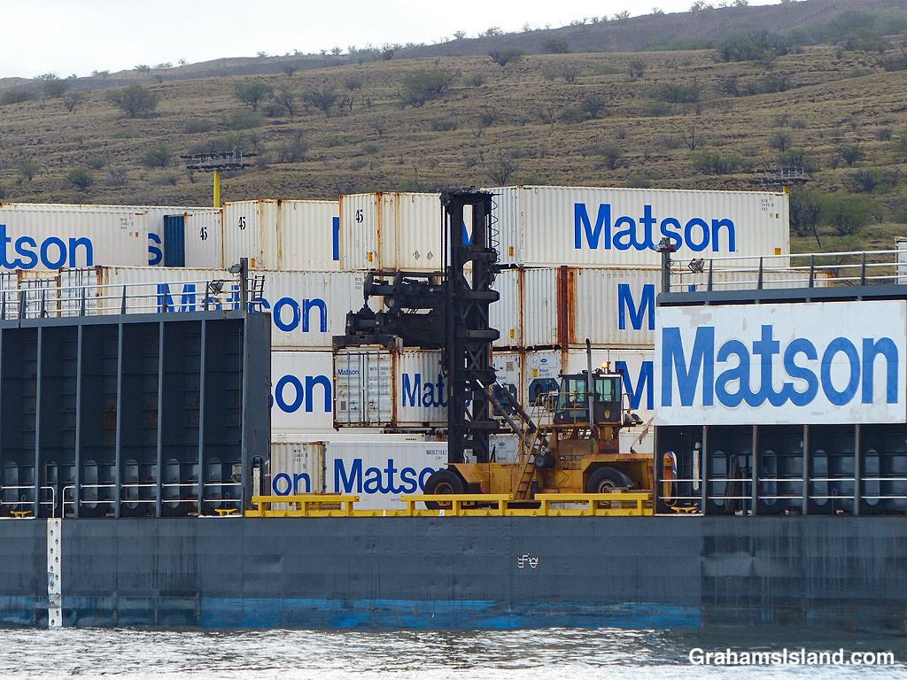
The idea of The Numbers Game is to enter a number into the search bar of your computer and then post a selection of the photos that turn up. This week’s number is 749. Captions are on the photos. You can see more responses here.


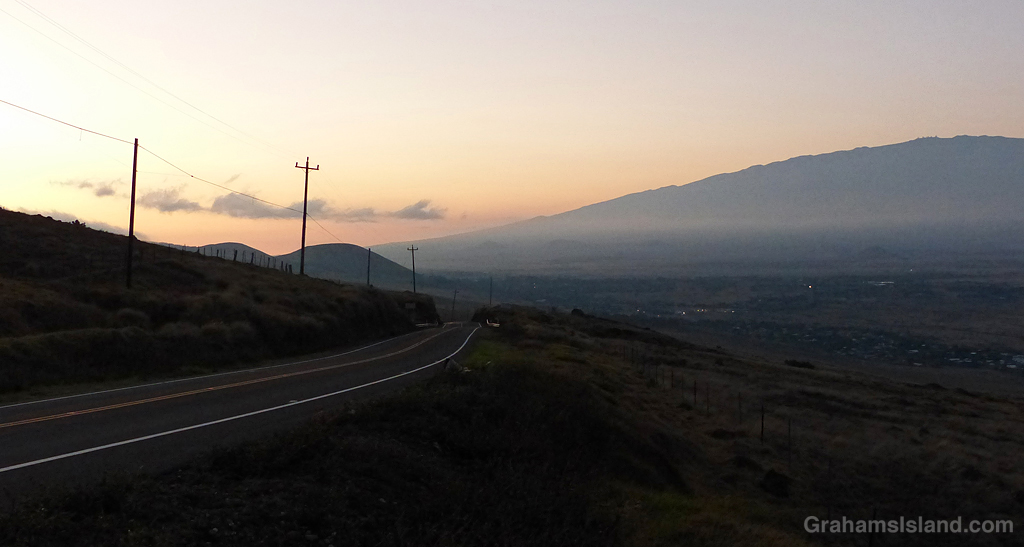


The idea of The Numbers Game is to enter a number into the search bar of your computer and then post a selection of the photos that turn up. This week’s number is 749. Captions are on the photos. You can see more responses here.
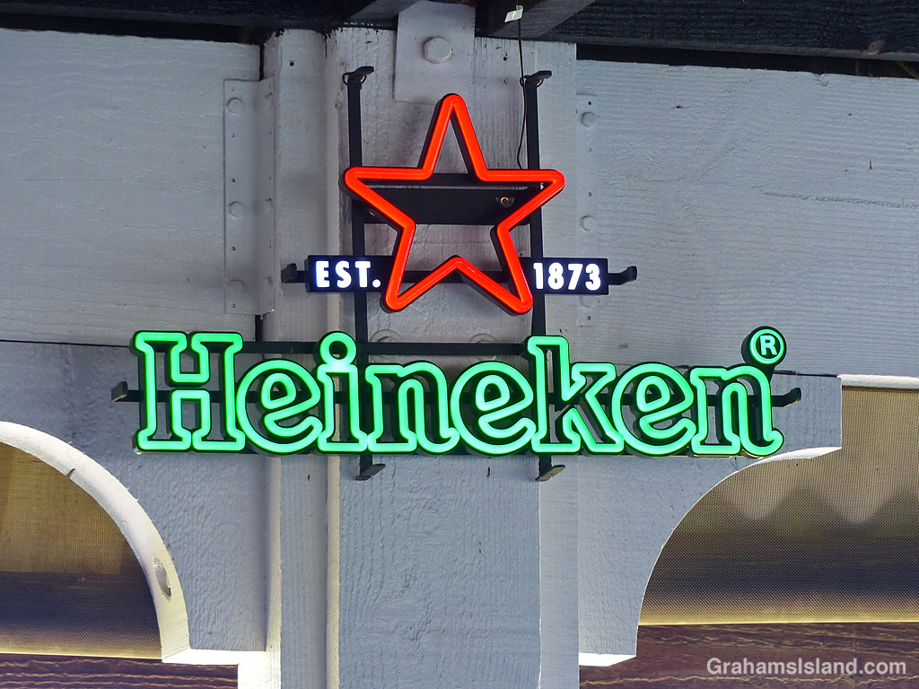
Back in the days when a friend and I used to brew beer, we’d buy bottled beer to drink, and save the empties for our home brews. Heineken beer was one of those, but we learned that Heineken bottles were made with fairly thin glass. We found this out when our home brew caused them to explode! The fact that we kept the bottles in our wardrobes meant that our work attire often smelled of beer, which is not recommended for career advancement.
The idea of The Numbers Game is to enter a number into the search bar of your computer and then post a selection of the photos that turn up. This week’s number is 247. Captions are on the photos. You can see more responses here.
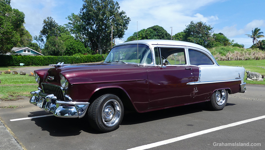
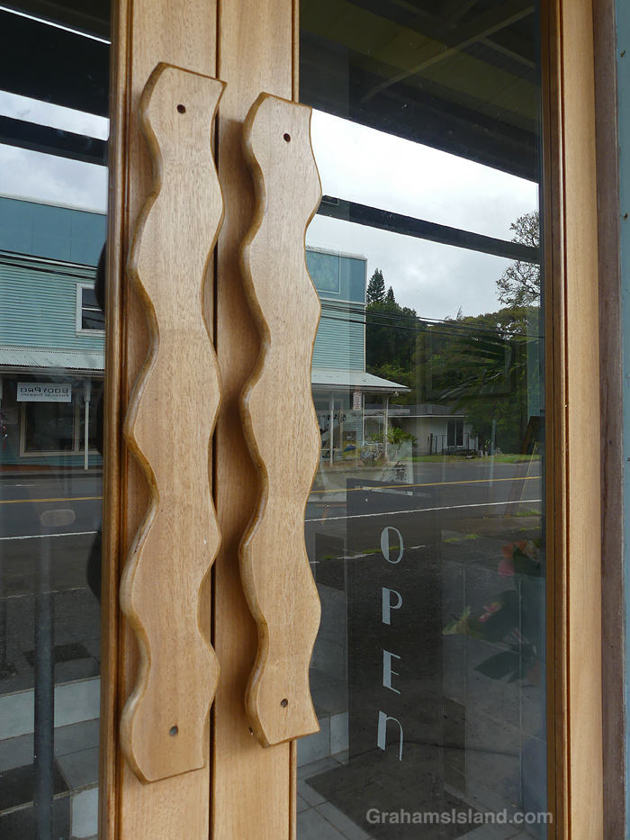
This week’s Sunday Stills color challenge is ‘Amethyst.’ See more responses here. Just a couple from me this week. The top photos is a 1955 Chevrolet Bel Air auto looking very clean and shiny, though a closer look shows a few signs of age. I know the feeling!
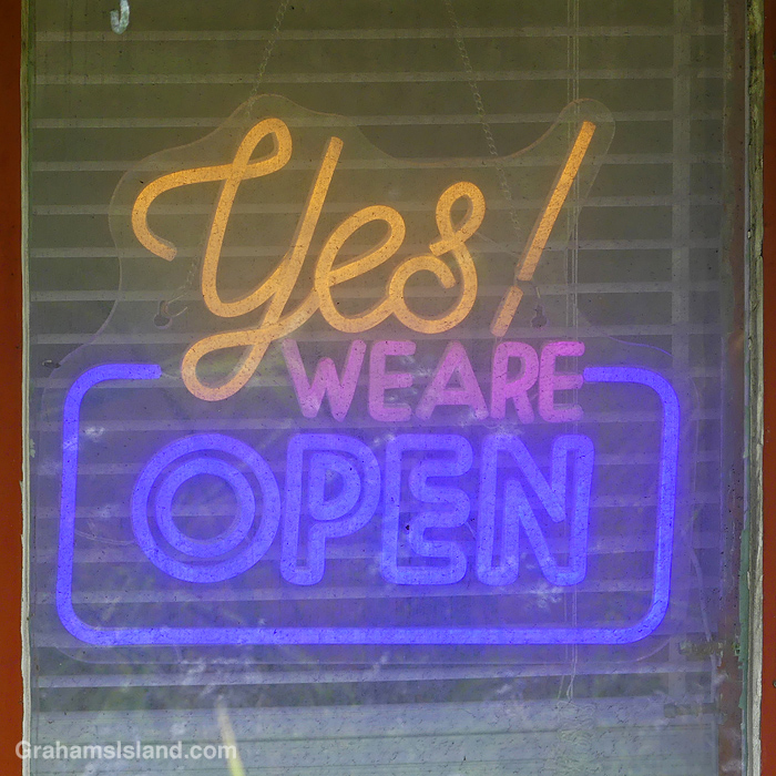
In the second photo, we are amethyst even if the look of this sign in a window doesn’t exactly lure one in.
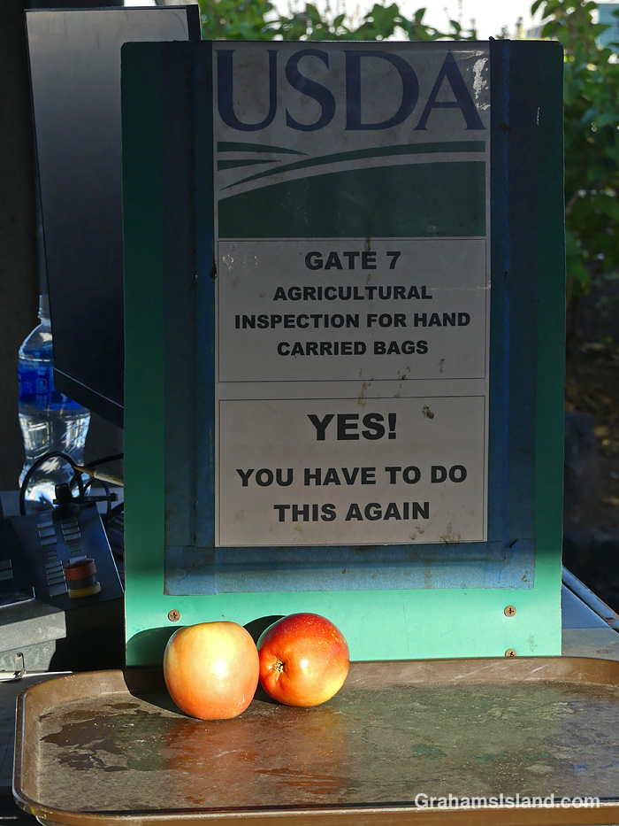
I liked this sign at the Kailua Kona airport and two offending apples in the sunlight.
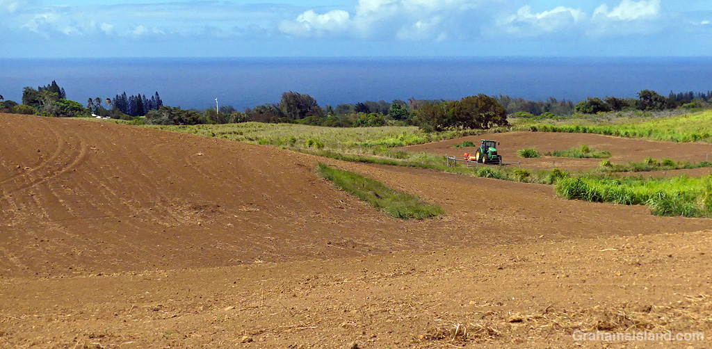
This month’s Sunday Stills challenge theme is ‘Any shade of brown and/or gray.’ See more responses here.
Also posted for Becky’s Squares: Shadows. See more responses here.

The idea of The Numbers Game is to enter a number into the search bar of your computer and then post a selection of the photos that turn up. This week’s number is 210. Captions are on the photos. You can see more responses here.

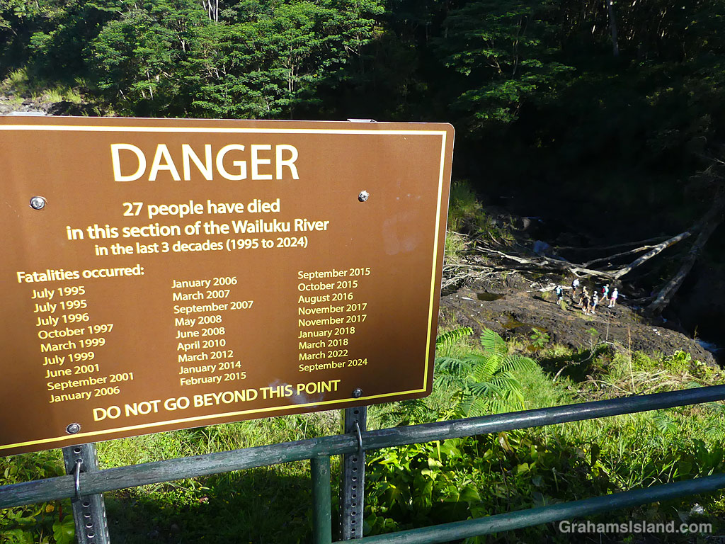
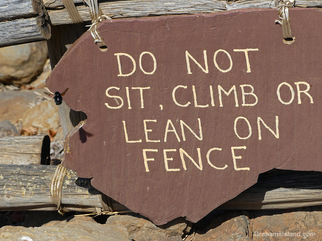
I was in Hilo yesterday, and I visited a few places I hadn’t been to in a while. One was Boiling Pots, part of Hilo’s Wailuku River State Park. It’s a beautiful spot, but the river can be dangerous when it’s roaring, so it’s plastered with warning signs.
As you can see, the signs don’t impress everyone. In truth, this group was probably perfectly safe. The river was as low as I’ve seen it. It’s been dry all over the island and the forecast for the day was more of the same. But it’s not the rain in Hilo that causes the river to run, it’s what’s happening on the slopes of Mauna Kea. And while the forecast was good, forecasts can be wrong, as I think we’ve all experienced. But people will be people.
Frankly, the signs at Boiling Pots are something of an eyesore, but the county has to try and cover itself. If those folks did get swept away, their next of kin would likely lawyer up and hold responsible anyone and everyone, except for those who should have known better.
