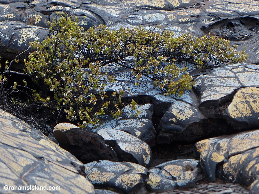
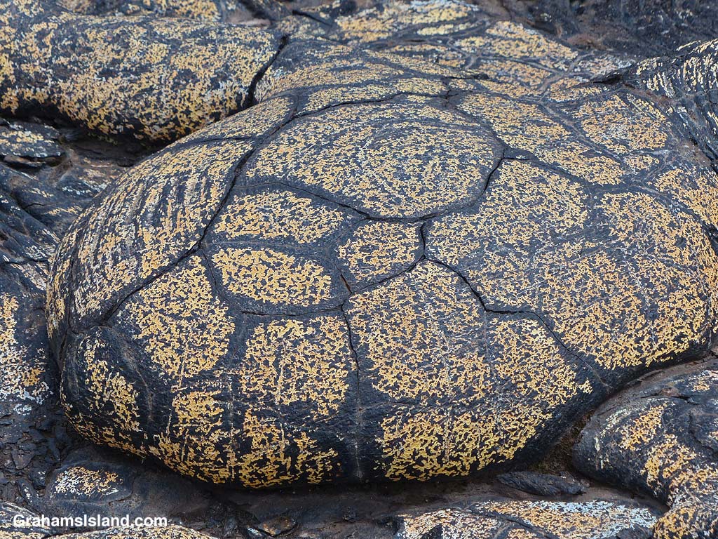
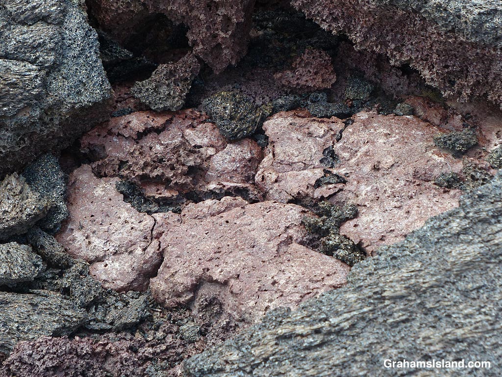
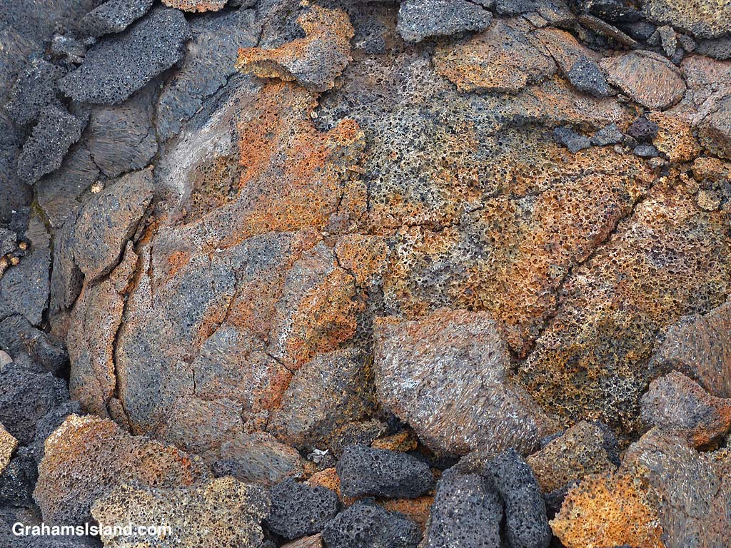
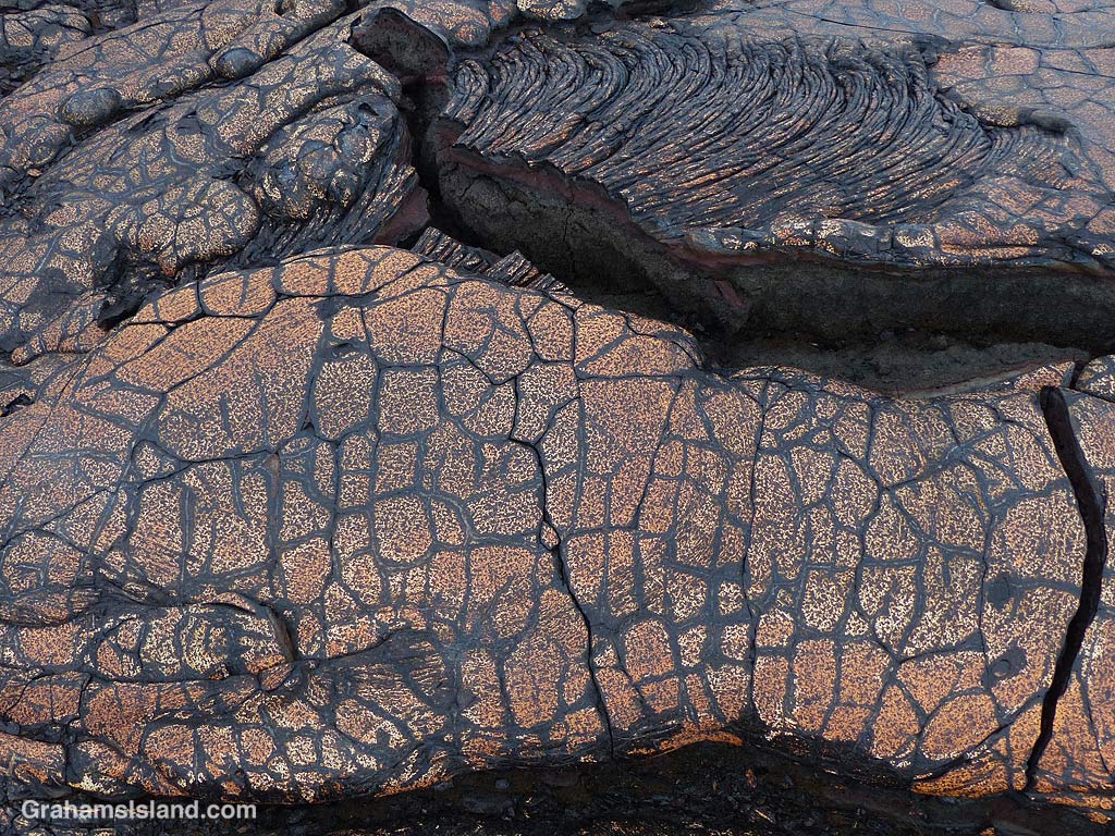
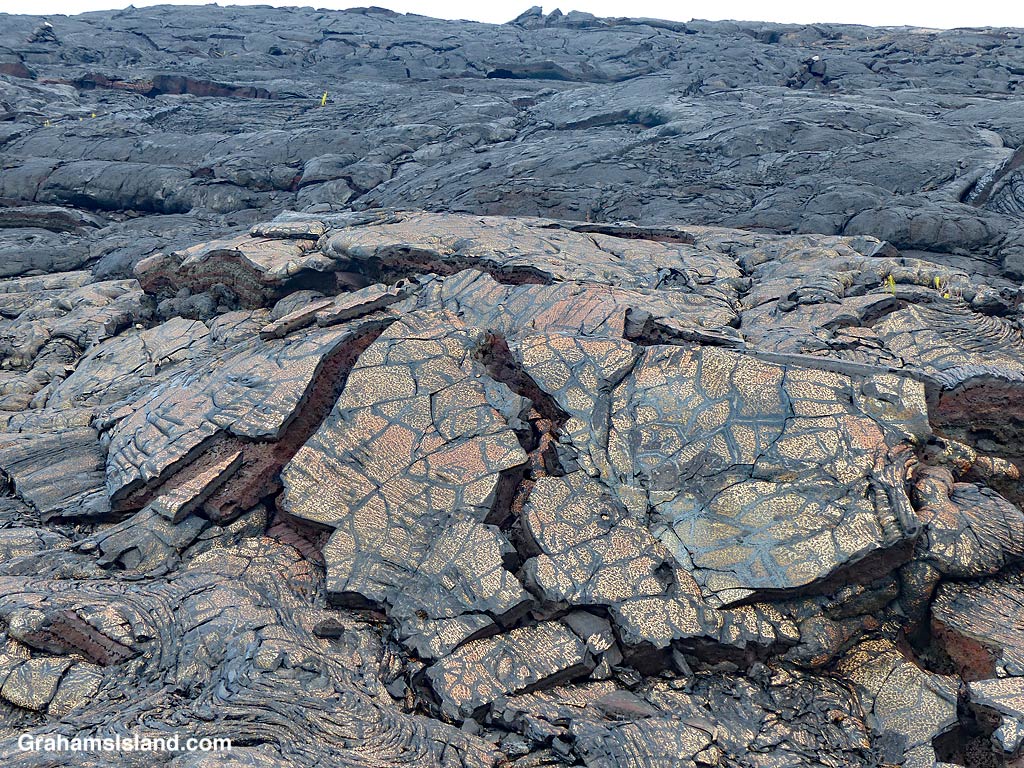
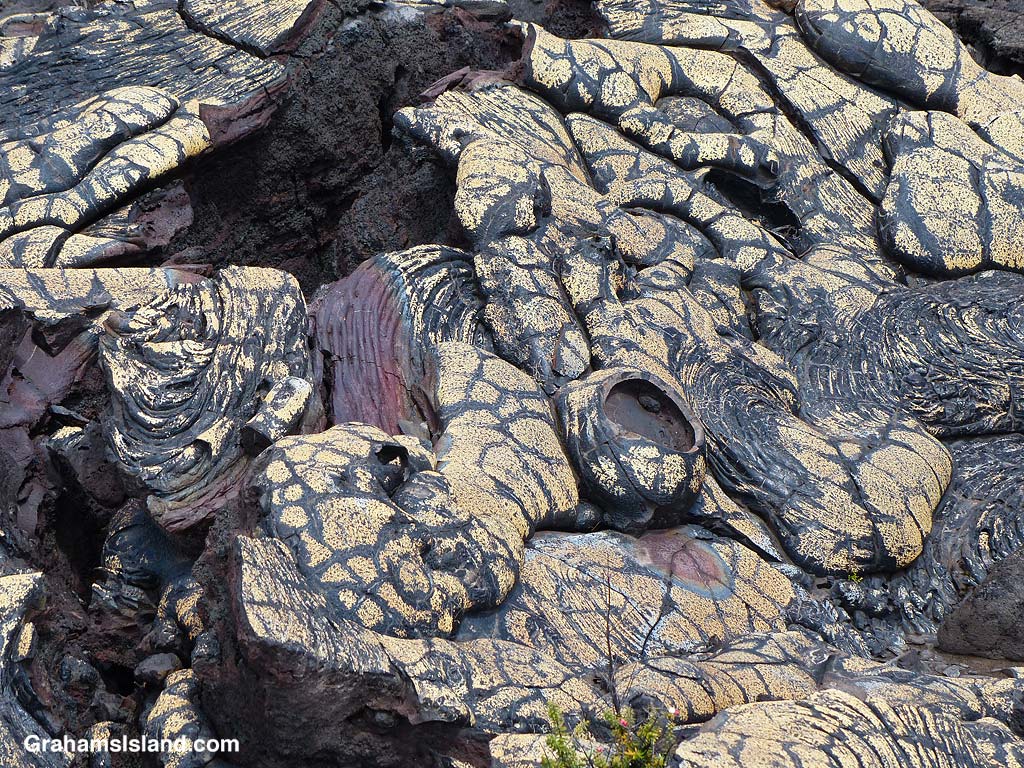
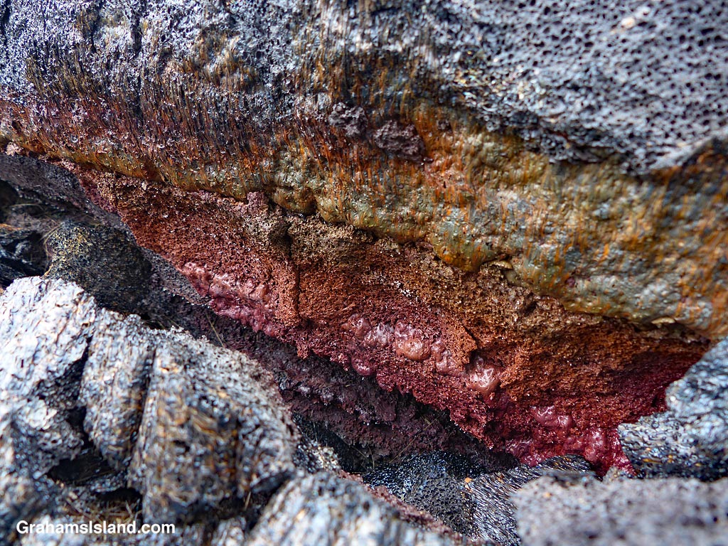
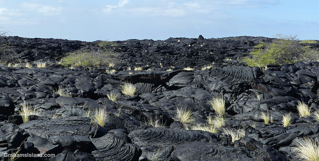
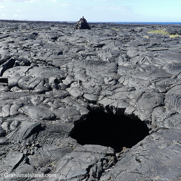
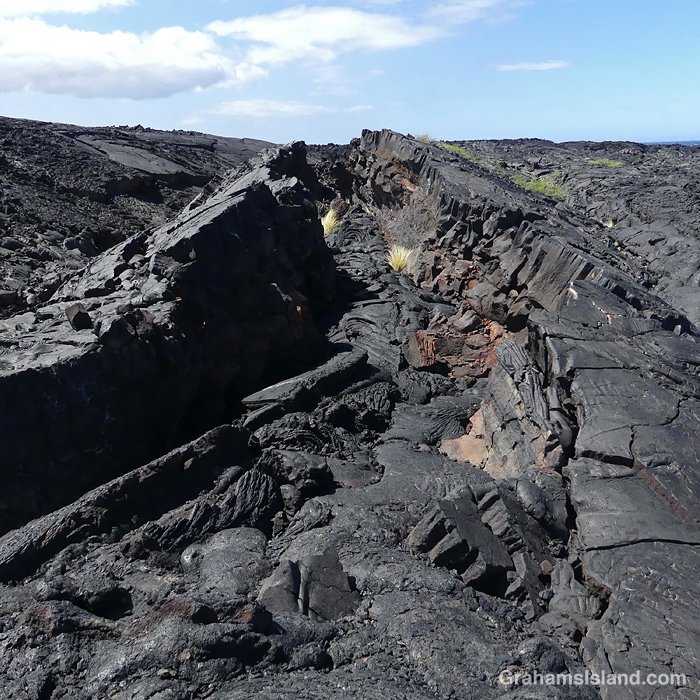
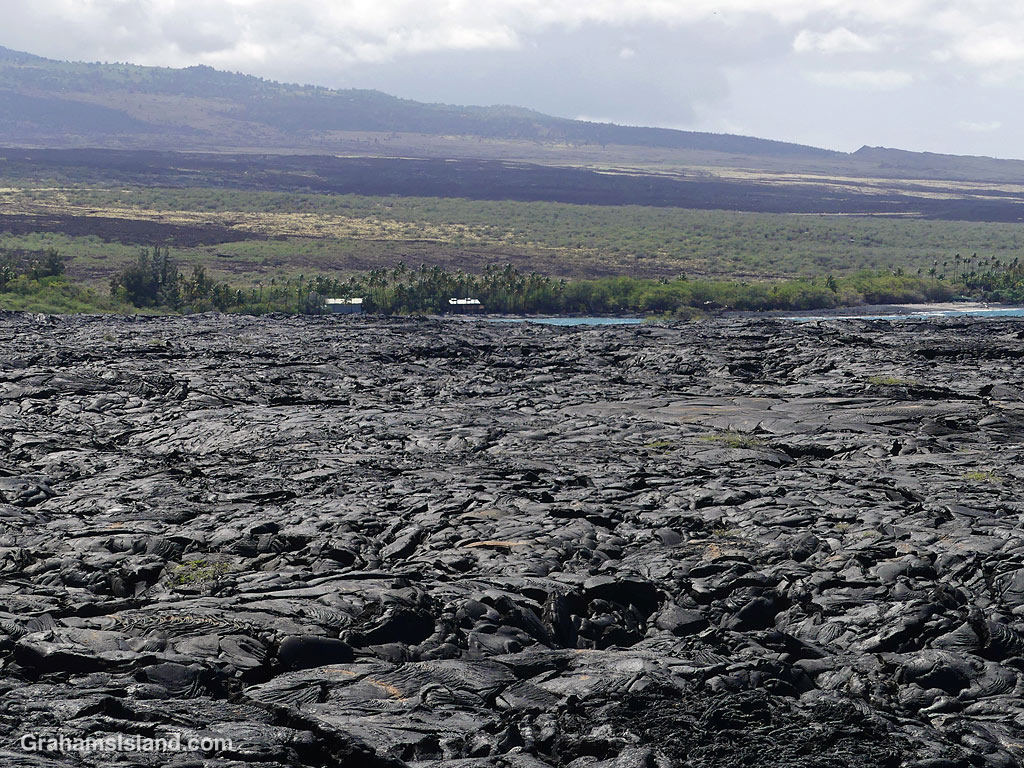
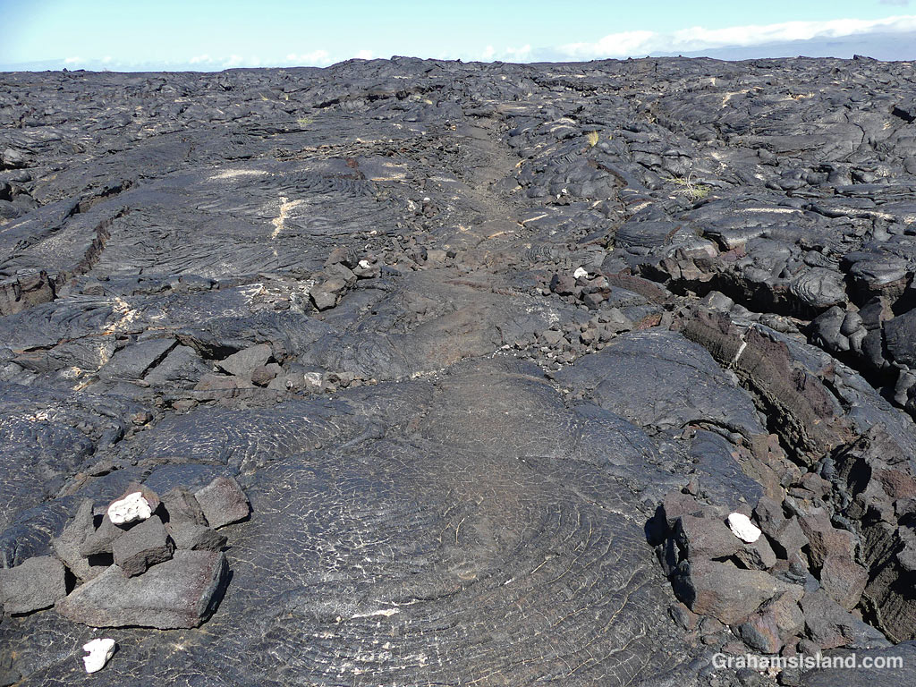
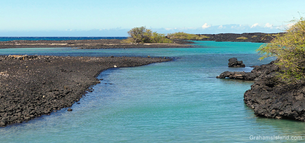
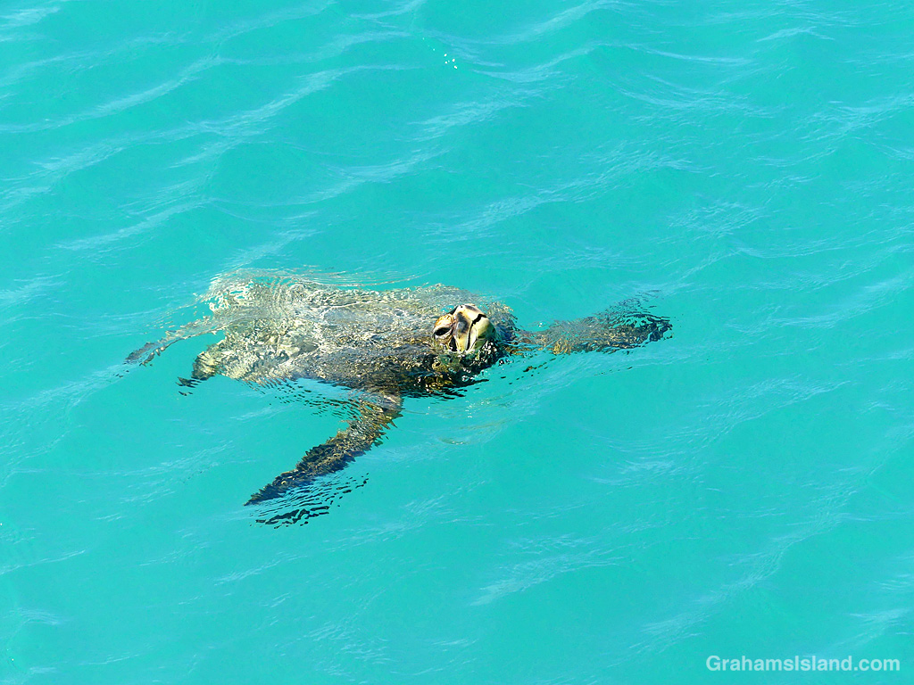
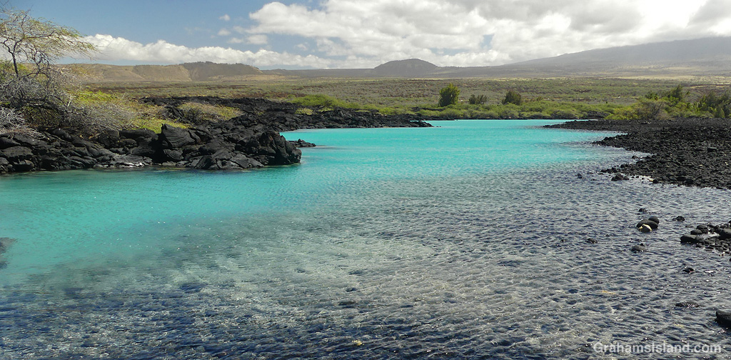
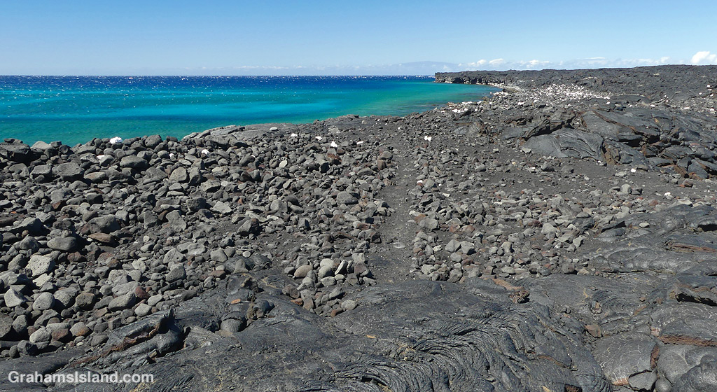
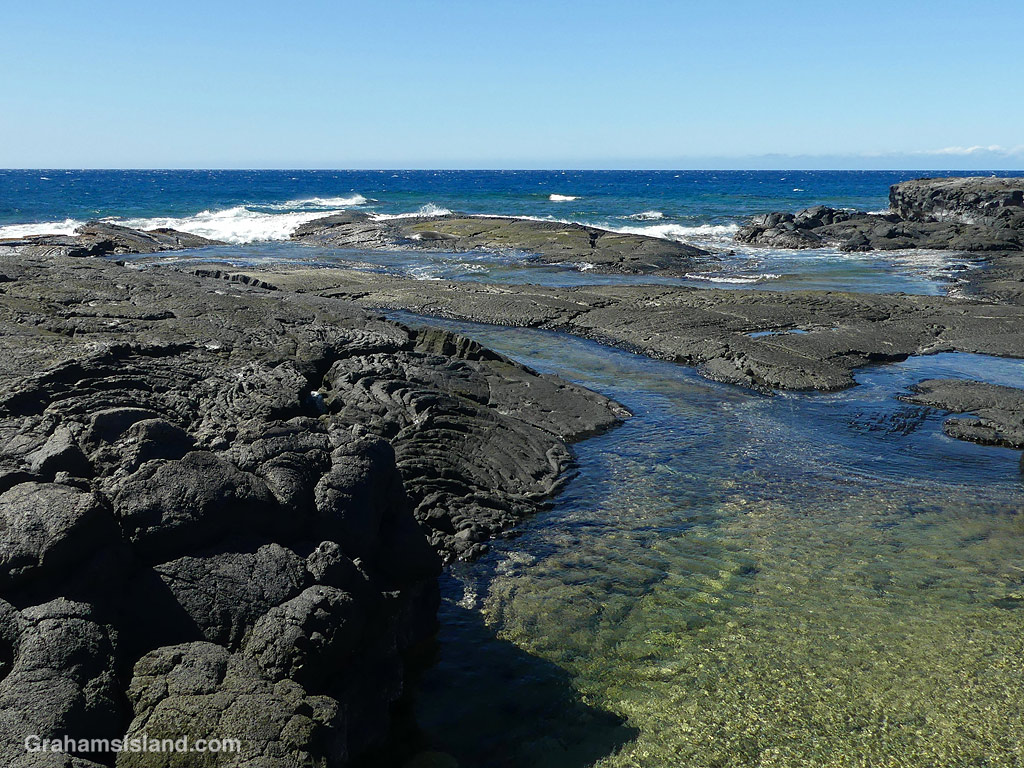
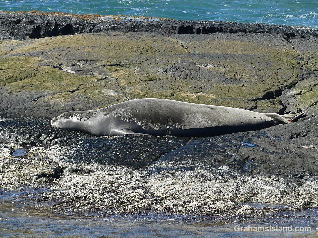
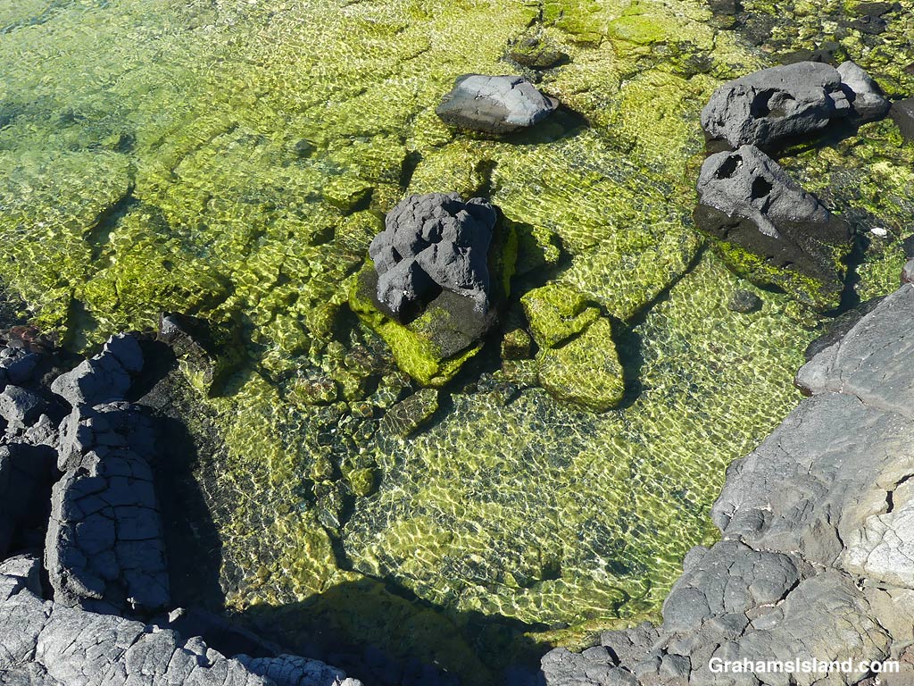
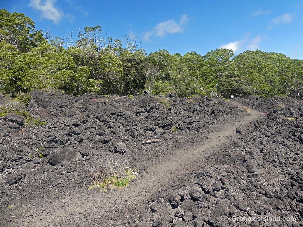
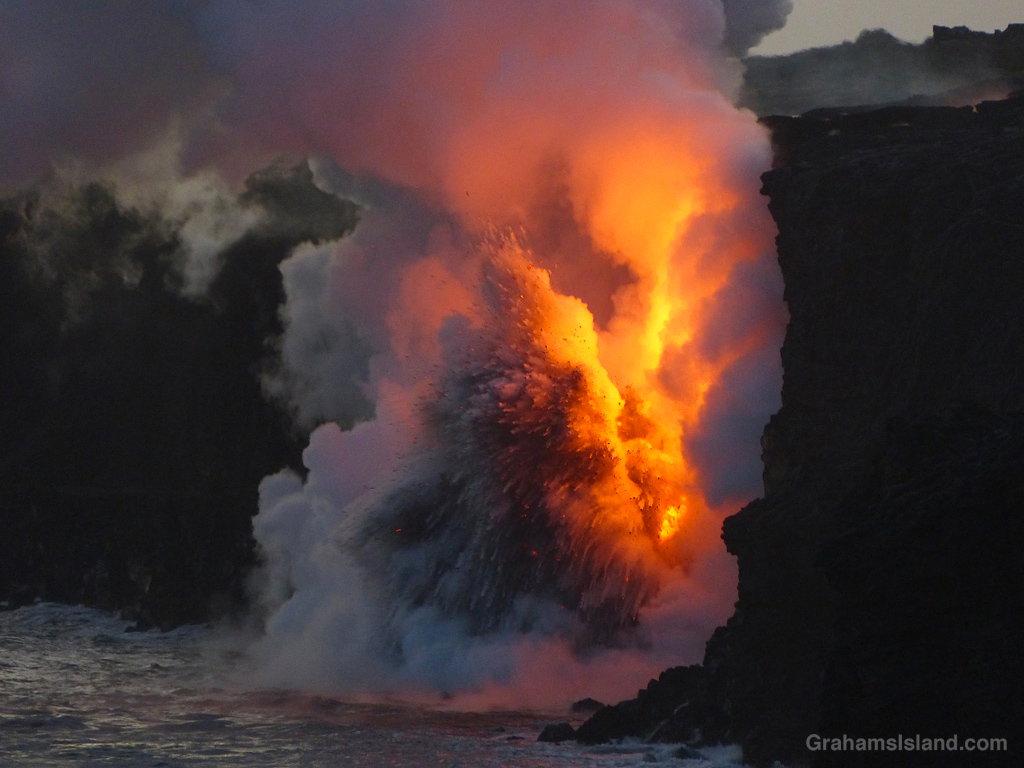
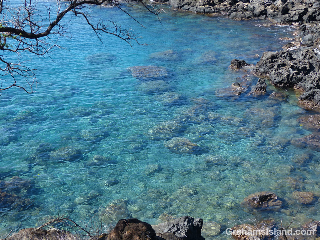
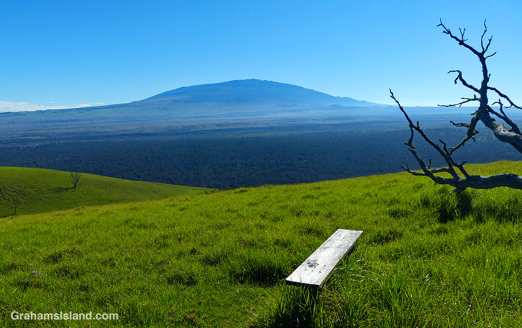
This week’s Sunday Stills challenge theme is ‘Colors of Lava and Black.’ See more responses here. I thought a collection of colorful lava fit the bill. These were taken on two of the trails in Hawaii Volcanoes National Park, the Kau Desert Trail and the Puna Coast Trail.
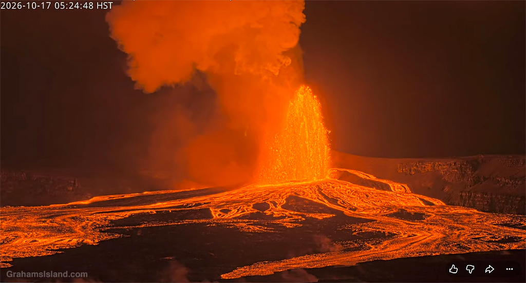
Finally, some red lava erupting from Kilauea volcano. I posted a few days ago (here) about the pressurized situation at the volcano when I visited last week. This is a screen shot from one of the live webcams at Kilauea (here). This most recent eruption began a little after three yesterday morning and ended around 6 hours later. I missed it by a week!
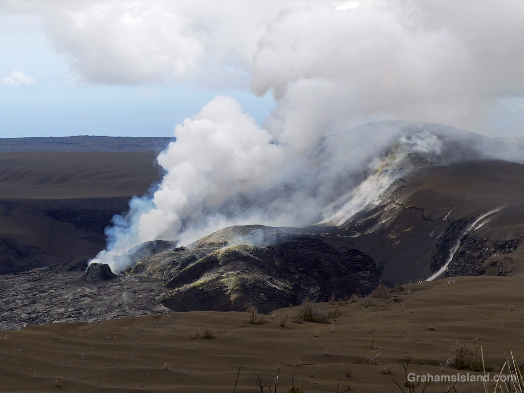
I was down at Kilauea Volcano this past weekend, checking out the state of the volcano. Since December 2024 there has been a series of 54 episodes of the current eruption. Episode 55 was expected about three weeks ago, but changes in the volcano have not produced another fountaining episode. Instead, there have been lots of small earthquakes, signs of lava movement underground, and a continuing build up of pressure. The volcanologists aren’t sure what to expect next, so some areas and trails have been closed for safety.
Two changes really struck me on this visit. First was that the crater viewing area at the Jagger Museum was open again. This closed after the 2018 draining and collapses in the crater, which rendered the museum unsafe. Now the museum is gone, having been removed over the past few years. However, the viewing area is still there and they’ve done a nice job of redoing it into a perfect space for volcano watching.
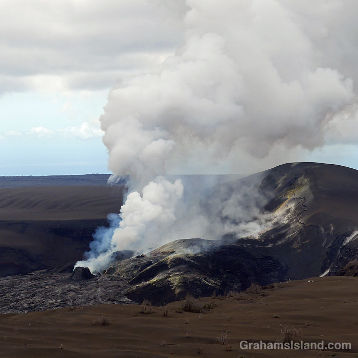
The second thing, which can be seen in these photos, is just how much the crater has filled in since the 2018 collapse. The crater floor was 1600 feet lower after that event, but now is back up to where it was before, and the active area is reaching the level of the rim!
I was hoping something dramatic would happen during my visit, but was disappointed. In the meantime, the rumblings continue.
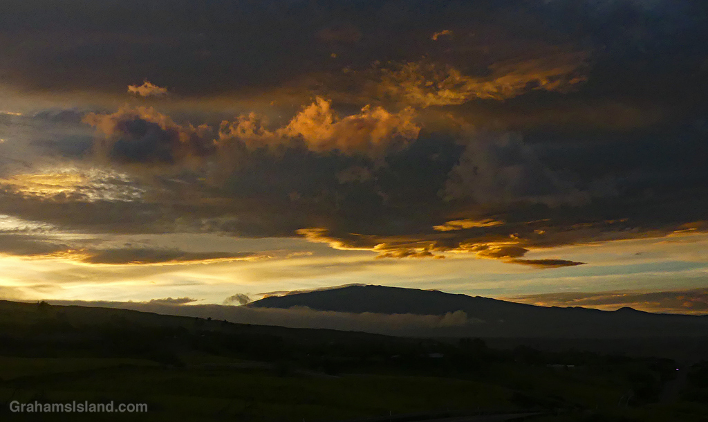
Hurricane Nolo passed south of the Big Island this weekend without doing too much in the way of damage. It was windy, and there was a good deal of rain, and these dramatic skies as the hurricane approached.
A few weeks ago now, I hiked the Ala Kahakai Trail from Keawaiki to Kiholo returning along the coast. Back in the days of the Hawaiian Kingdom, the Ala Kahakai Trail ran from the northern tip of the island down the west coast and around to the southeastern tip, a distance of about 175 miles (282 kilometers). These days, the trail is broken into shorter lengths with private property in between, though more segments of trail are slowly being added. This section is about 4 miles long.
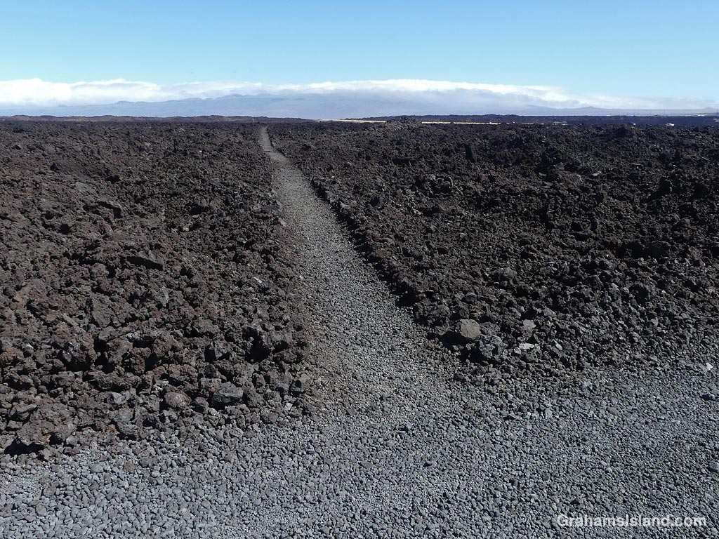
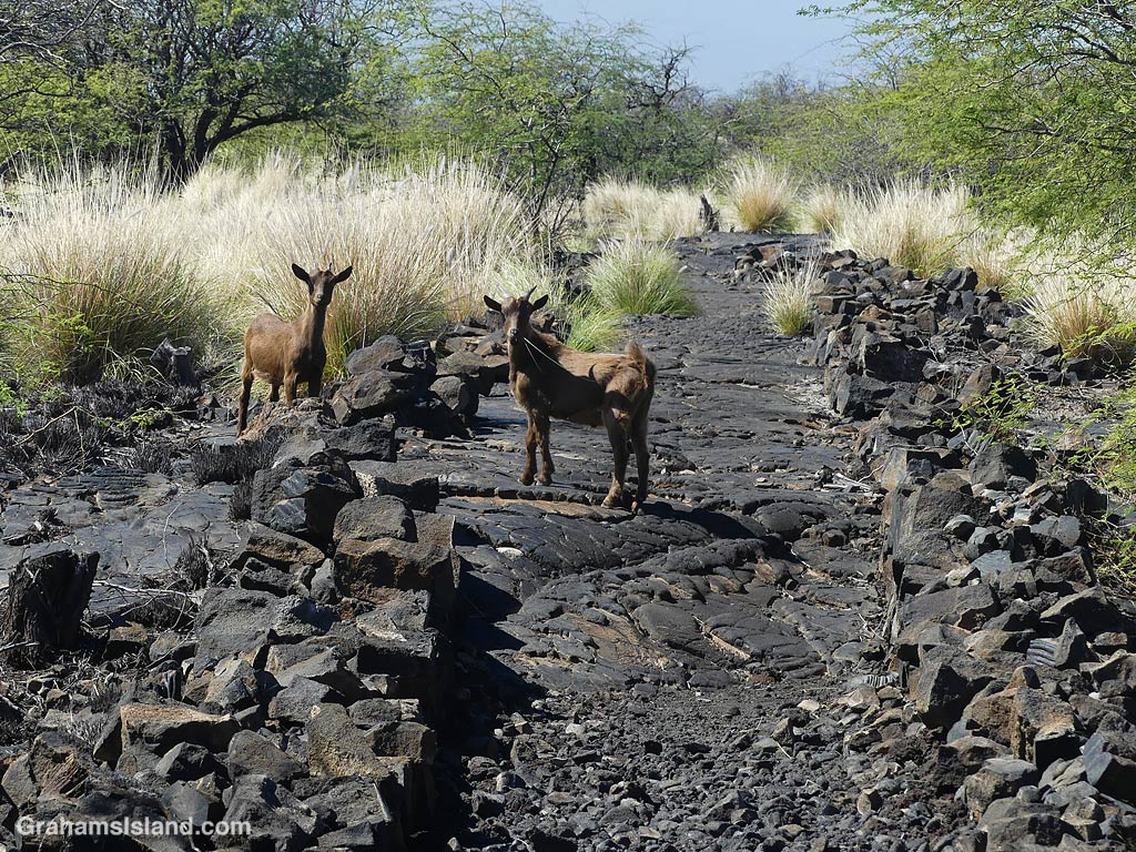
Goats on the trail.The trail enter the lava fields.
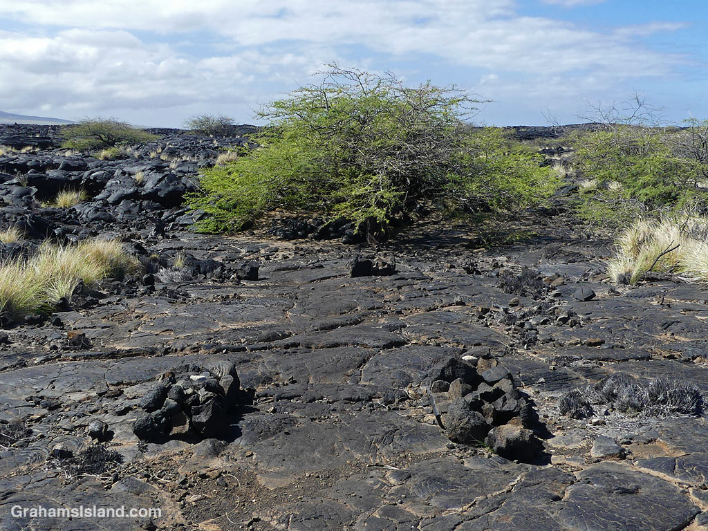
The trail starts out clearly marked and very straight, with goats your most likely companion. But after half a mile or so a tree marks the end of this stretch and the way forward is erratically marked by cairns. I did this hike several years ago without a problem, but this time I couldn’t remember which way to go. There was a cairn up to the left and another up to the right. The one on the right was the bigger one so I figured that was the one to go for. Size matters, right? But when I reached it, I couldn’t make out where the next one was. A smart person would have backtracked to the tree and followed the other option. I chose to carry on. It’s not like I was going to get lost. To my right was the coast and to the left the highway with little more than a mile between the two at the widest spot. However, hiking across lava fields is tricky. Lava tubes can be a matter of inches below the surface and collapsed tubes can have cliff-like walls. A wrong step could pose a challenge for search and rescue!
Cairn ahead.Watch out for holes …… And steep drops.Kiholo in sight.Back on the trail.
The landscape is stark, crossing the 1859 lava flow from Mauna Loa, the most recent flow in this direction from the volcano. Eventually, I saw houses at Kiholo ahead and figured out I was too far makai (towards the ocean) so I cut inland and found the trail again, marked by lumps of white of bleached coral and a slightly worn look.
Kiholo lagoon. The pale lump on shore is a turtle resting.Coming up for breath.Kiholo lagoon looking back towards Pu’u Waawaa.
There’s a park, with limited facilities, at Kiholo, but the trail I took turned back north near the mouth of Kiholo lagoon. The lagoon was once part of a huge fishpond built by King Kamehameha I in 1810, but the 1859 flow wiped it out. The lagoon has a wonderful color and is a great spot to see turtles both in and out of the water, but give them plenty of space. It’s also good place for a swim, but not for snorkeling because freshwater intrusion makes for poor visibility.
Heading north on the trail.What’s that out near the water?A monk seal resting.
At the head of the lagoon, the trail mostly follows the coast north. It’s a bit easier to follow than the Ala Kahakai Trail, but one still has to pay attention. I came to one spot where the coast was lower with little rounds of pahoehoe lava surrounded by water. Out near the waves, I saw what I first thought was another lump of lava, but then wondered if it was perhaps a monk seal. I decided to walk down and sure enough it turned out to be a resting monk seal in what I thought was an excellent spot for it: Easy access and very little chance of being disturbed. After I got home, I reported the sighting and learned that the seal was likely RA20. She’s a monk seal that I’ve seen several times before, twice at Kekaha Kai Park with new pups, and also at Upolu. It was good to see that she was in great shape and looked like she had recently molted.
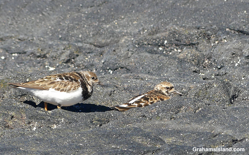
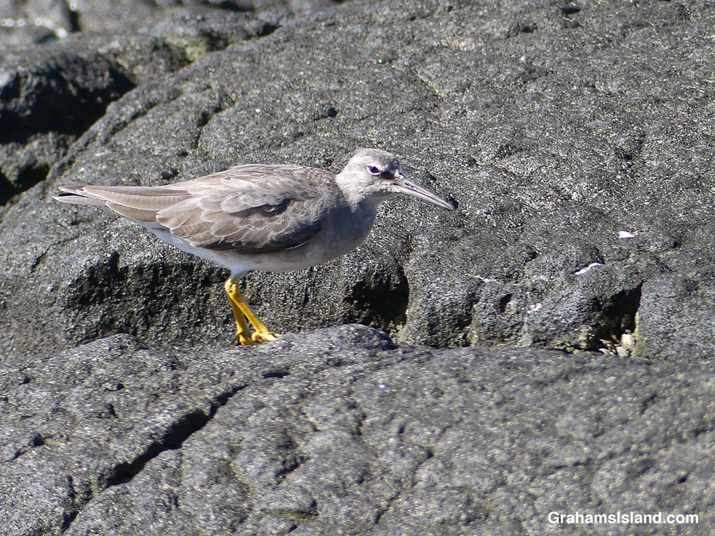
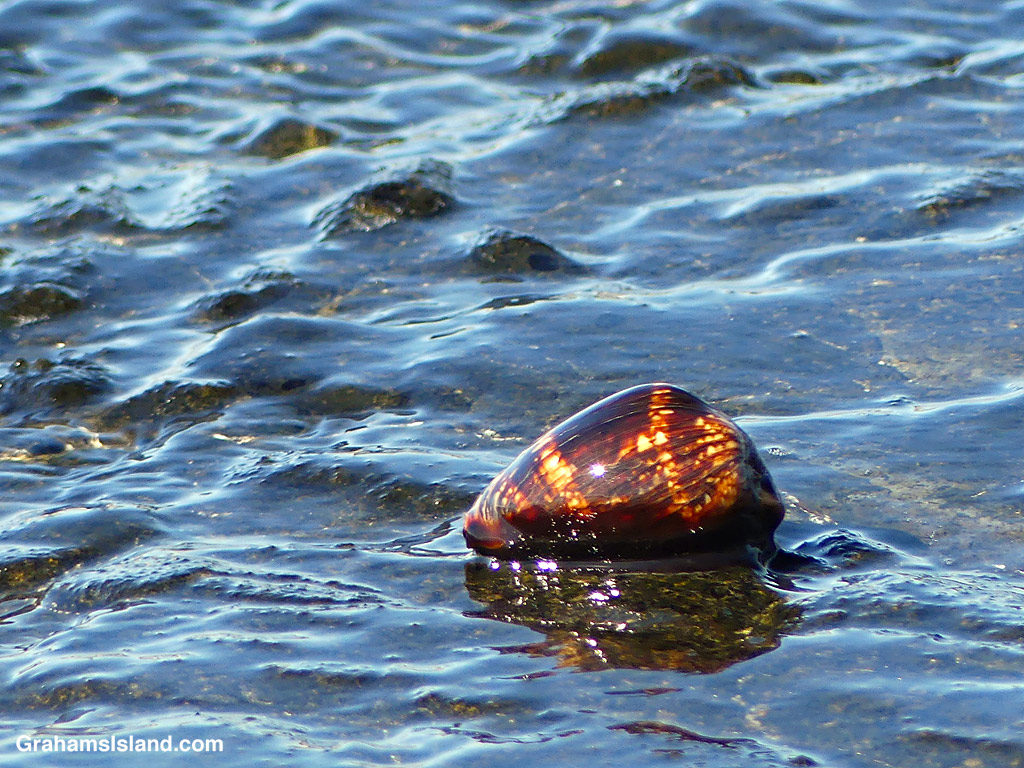
Tide pool colors.Ruddy Turnstones.Wandering Tattler.Humpback Cowrie.
A little farther north, the coast opens to some beaches and an array of tide pools that can be quite colorful. There’s more birds here, feeding or bathing in the pools, and I even saw a Humpback Cowrie getting washed by the waves.
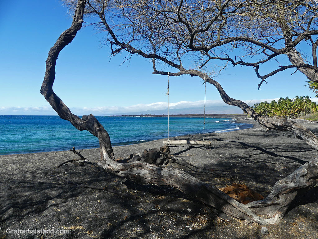
Swinging towards Keawaiki.
Finally, Keawaiki came into view. At the southern end, some scrubby trees provided shade and a swing, though I didn’t try it since it was only about six inches off the ground. Beyond that is the private Brown Estate, surrounded by palms and fencing, and then Keawaiki beach and a short walk back to the car.
Posted for Jo’s Monday Walk. See more responses here.
The idea of The Numbers Game is to enter a number into the search bar of your computer and then post a selection of the photos that turn up. This week’s number is 749. Captions are on the photos. You can see more responses here.
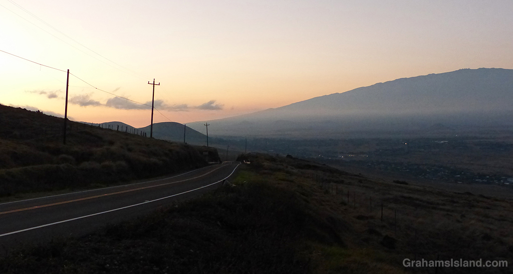
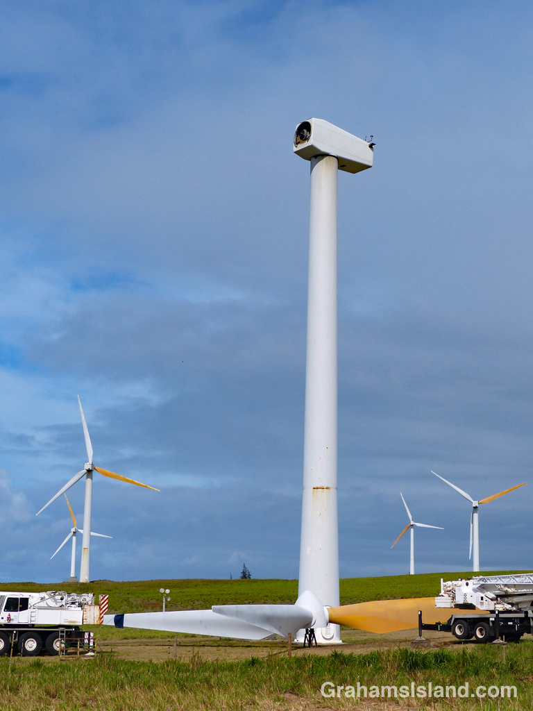
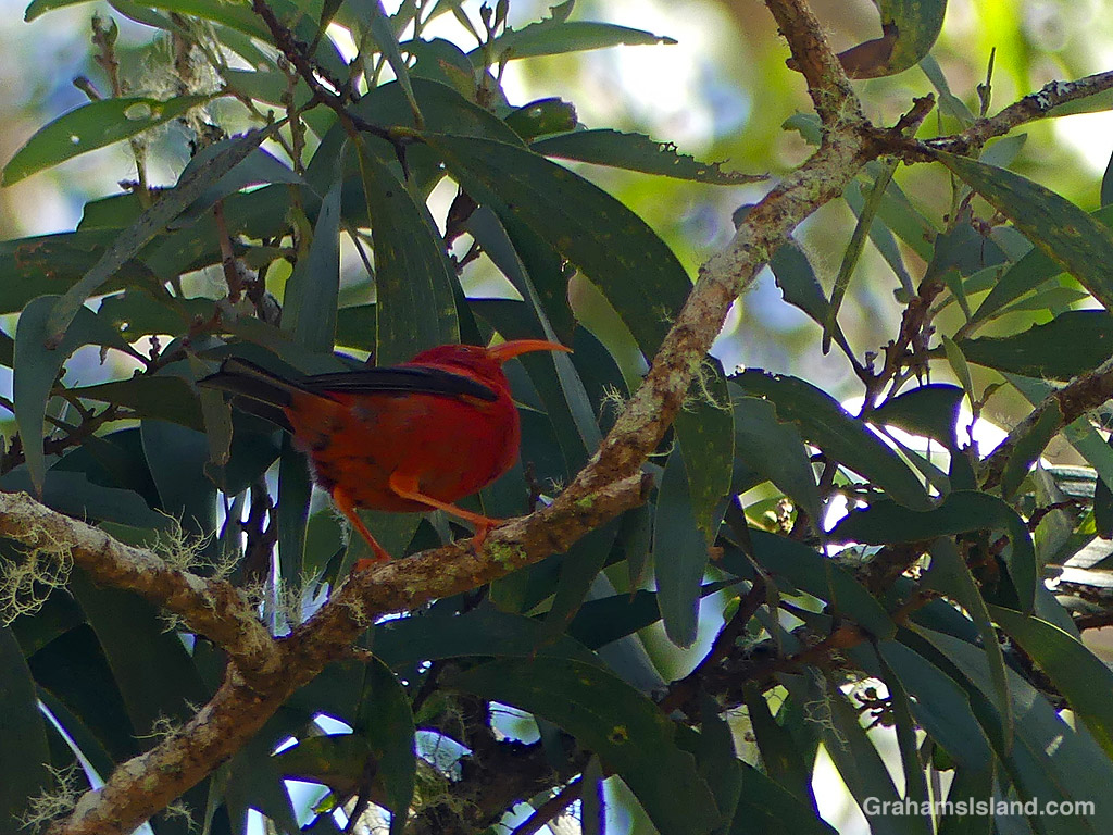
Hawai’i Amakihi.Entrance to the Kohala Tong Wo Society.Early morning from Kohala Mountain road, looking towards Mauna Kea.The entrance to the fish pond at Kiholo.A wind turbine undergoing maintenance.Brush fire at Lapakahi State Historical Park.
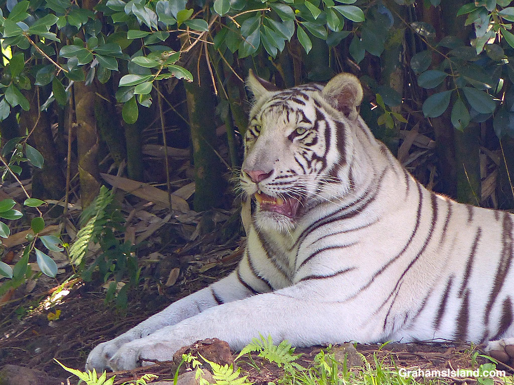
This week’s Sunday Stills challenge theme is ‘Wild Animal or Bird of the Month.’ See more responses here.
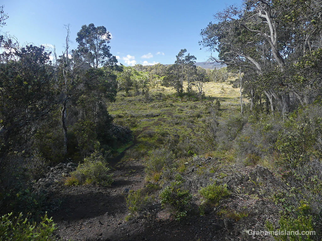
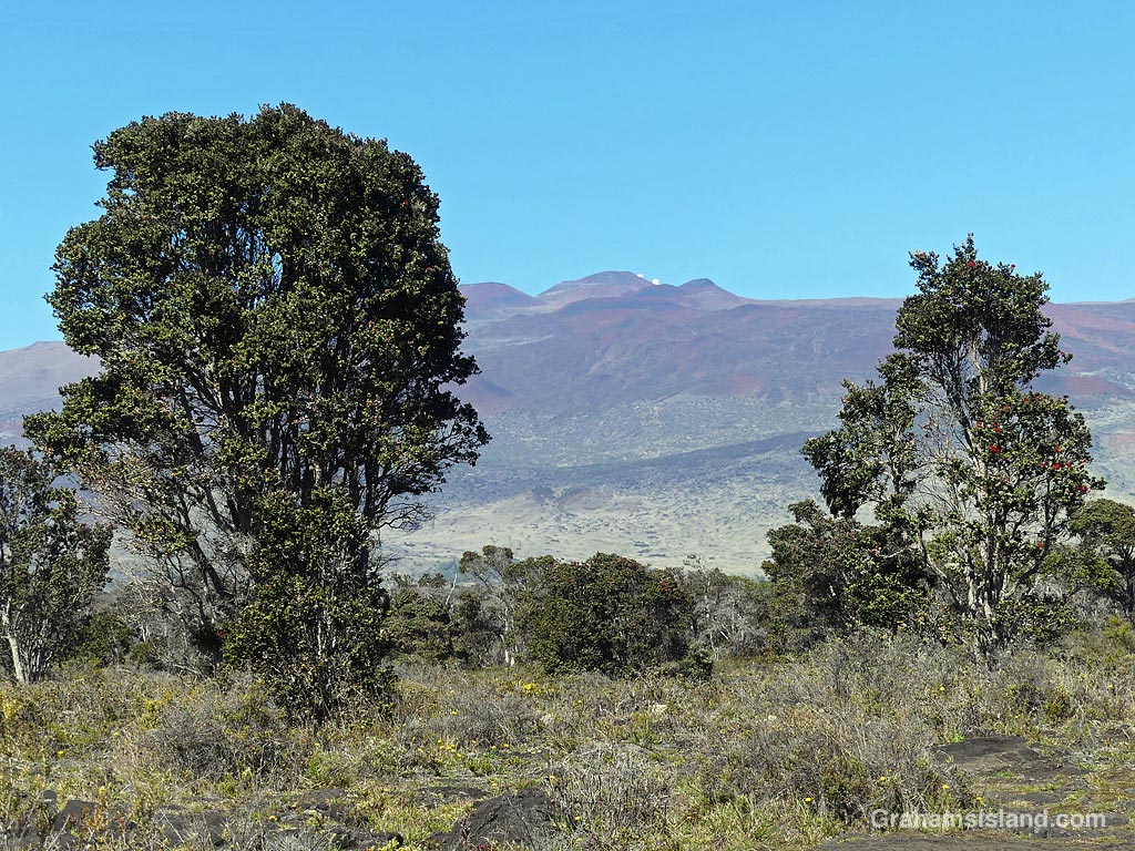
Pu’u O’o Trail is a few miles east of the saddle between Mauna Loa and Mauna Kea, on the south side of the main cross-island highway. It’s all above 5,000 feet and can be cold, wet, and windy, but I’ve had good luck picking warm, sunny days. These photos are from a couple of recent hikes I took up there. Captions on the photos.
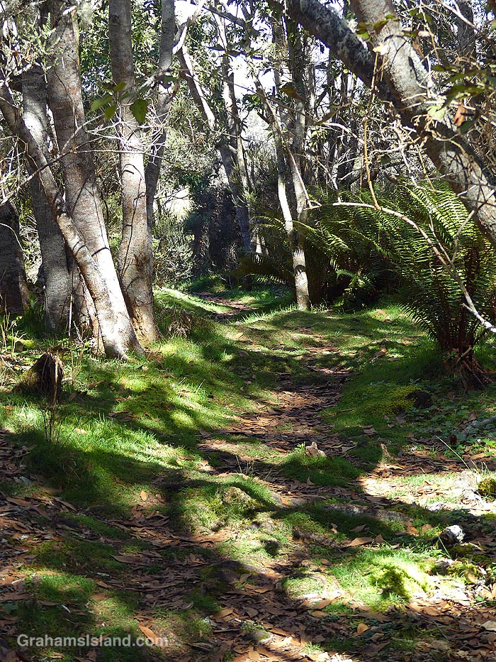
The trail enters a kīpuka.There are open, grassy areas.A view of Mauna Kea.
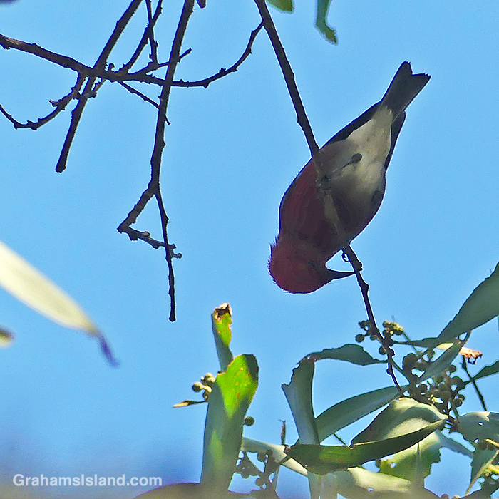
The trail crosses old lava flows from Mauna Loa, but there are kīpukas, areas of old-growth forest missed by the lava, which are home to several kinds of native birds.
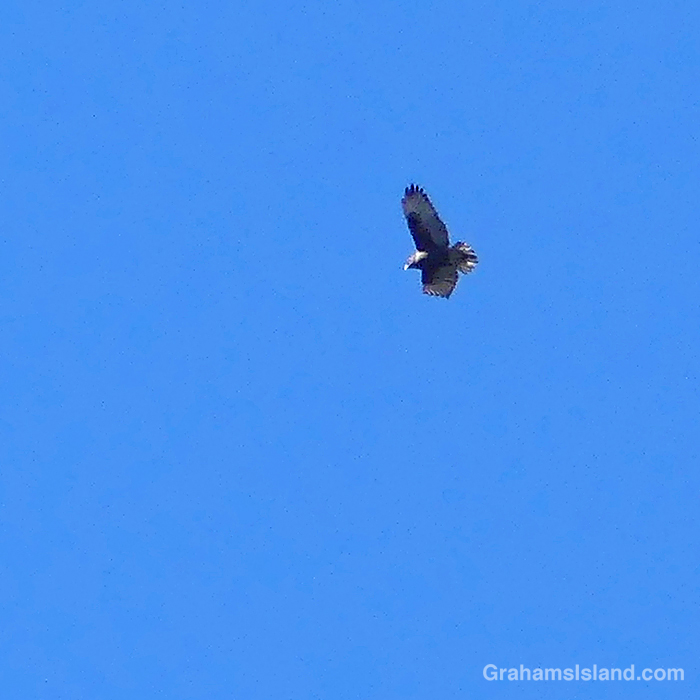
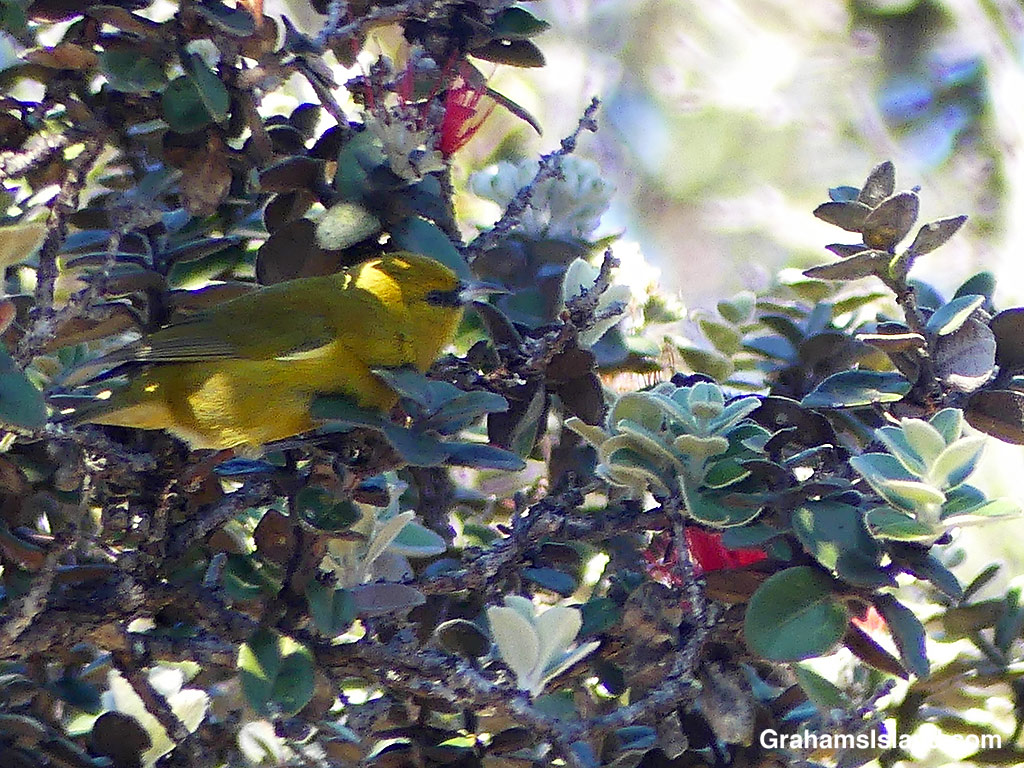
An ‘Apapane.An ‘Io, the native Hawaiian hawk, glides overhead.An Hawaii ‘Amakihi.
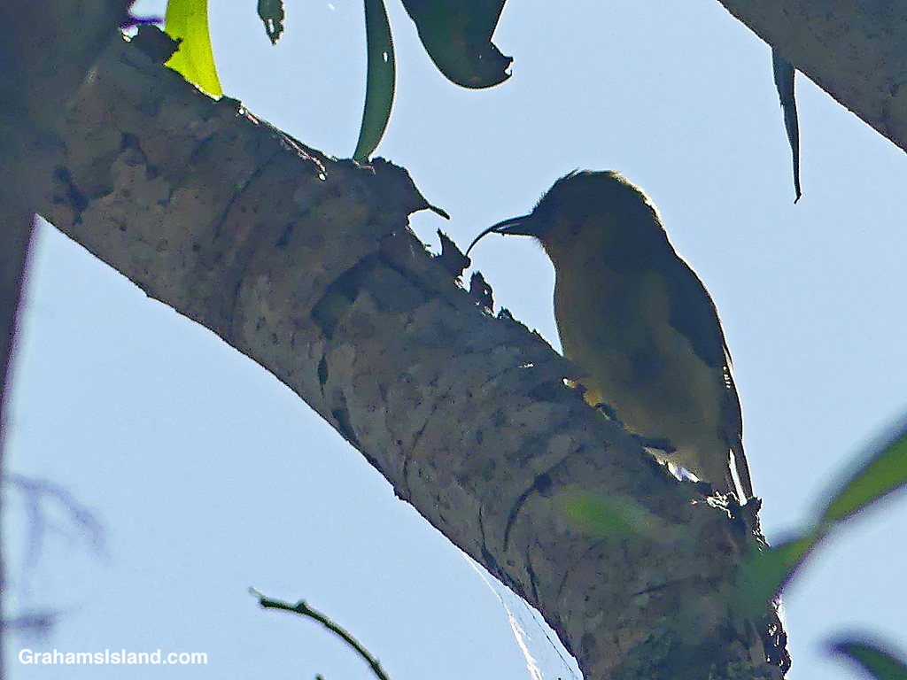
On my last visit, I was lucky enough to see an ‘Akiapola’au, an endangered native species, which is only found on this island these days. This one was high up in the trees with the sun behind it. While my photos weren’t great, I was still able to see this industrious bird foraging for a meal. The shorter lower mandible is used to drill into branches and then the curved upper mandible digs out the grubs hiding within.
An ‘Akiapola’au.
These native birds make this trail popular with birders, but it’s a good hike for anyone. A 9-mile loop is possible, but I usually do an out-and-back hike through the first two or three kipukas, which totals about five miles.
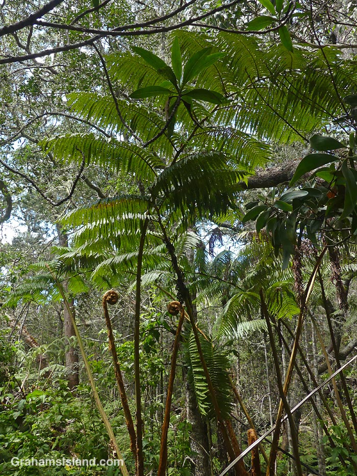
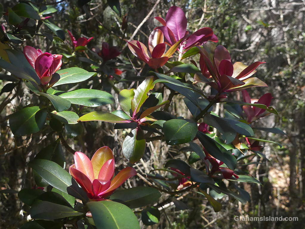
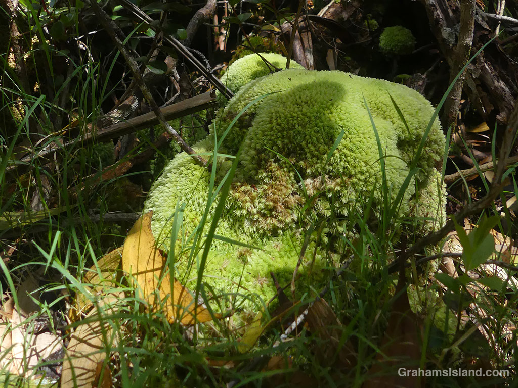
Hāpu’u tree ferns (Cibotium menziesii) grow alongside the trail.The trail winds through a kīpuka.Not flowers, but new leaves on Kōlea lau nui (Myrsine lessertiana).It’s cool and wet enough for moss to take over.
Also posted for Jo’s Monday Walk. See more responses here.
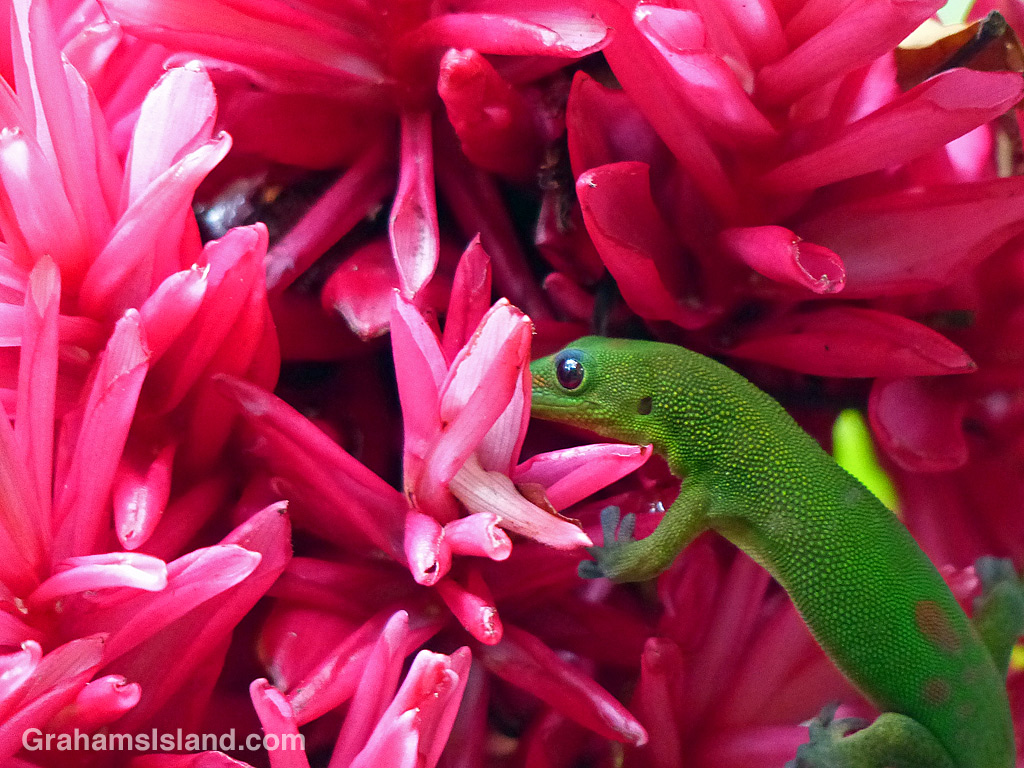
This Gold Dust Day Gecko was exploring a Pink Ginger moments before it was chased away by a Coqui Frog resting in the flower. Can you spot it?
The idea of The Numbers Game is to enter a number into the search bar of your computer and then post a selection of the photos that turn up. This week’s number is 245. Captions are on the photos. You can see more responses here.
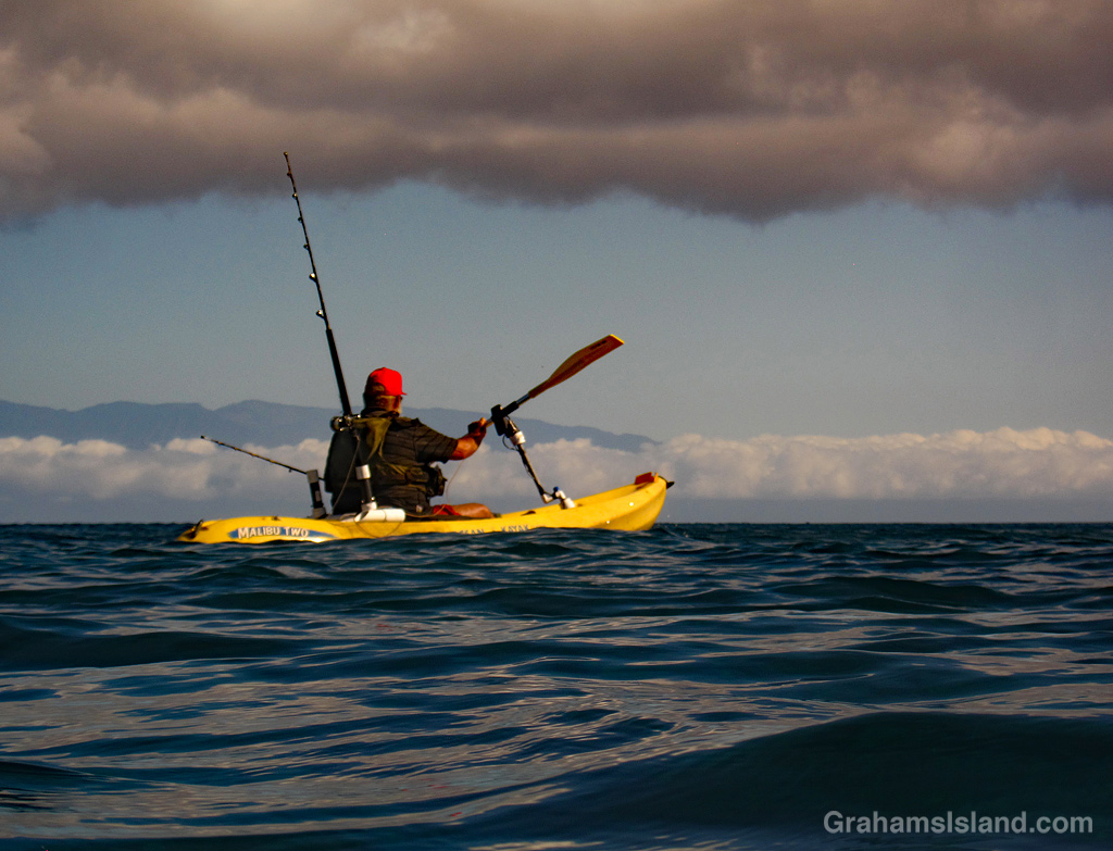
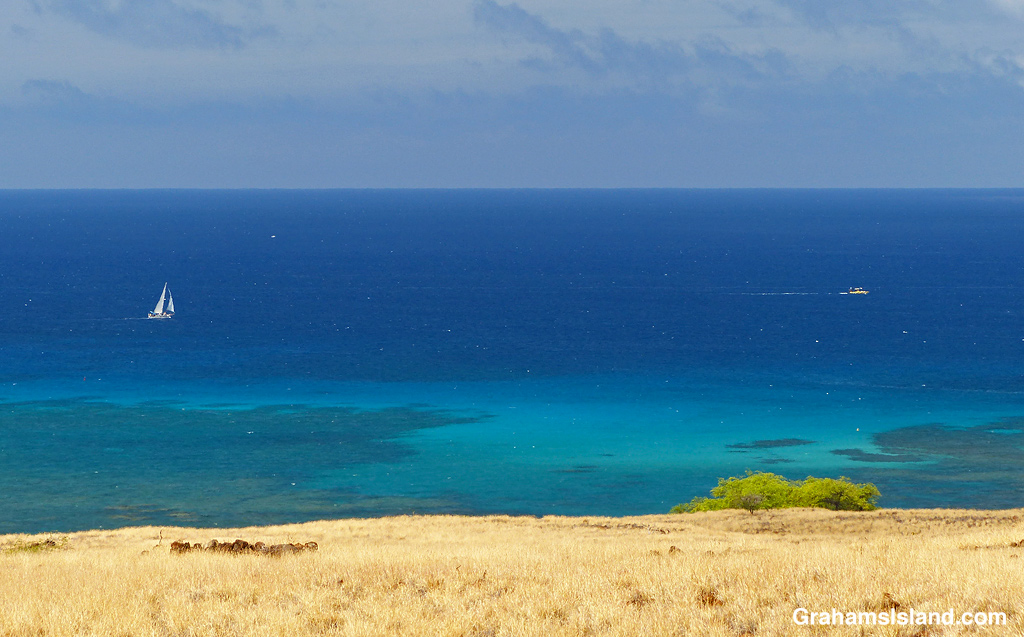
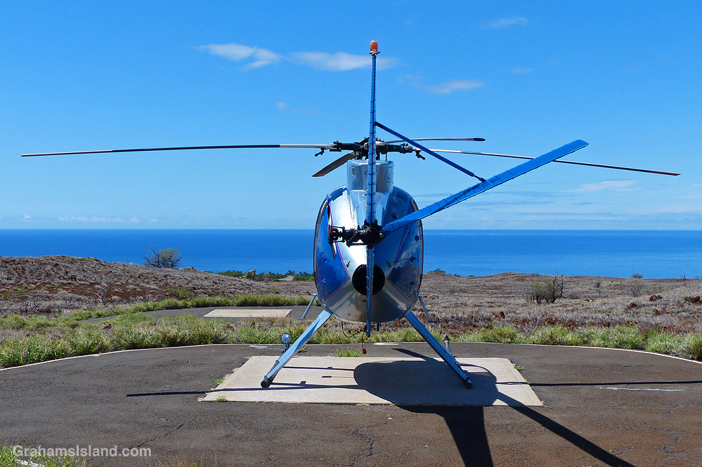
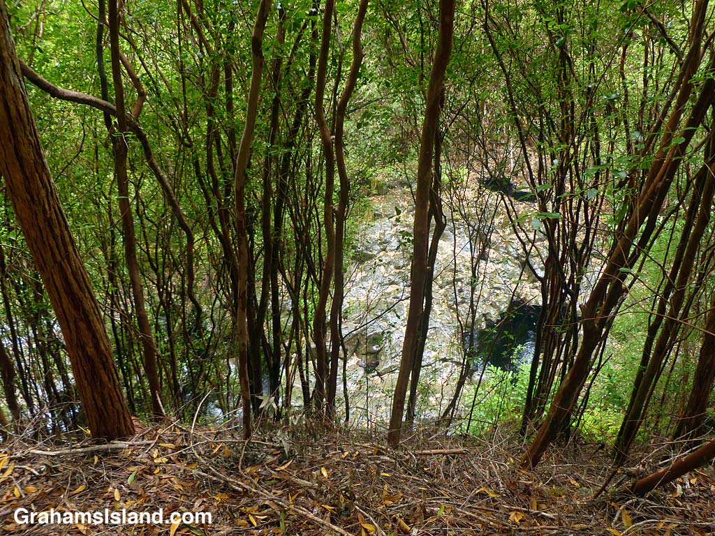
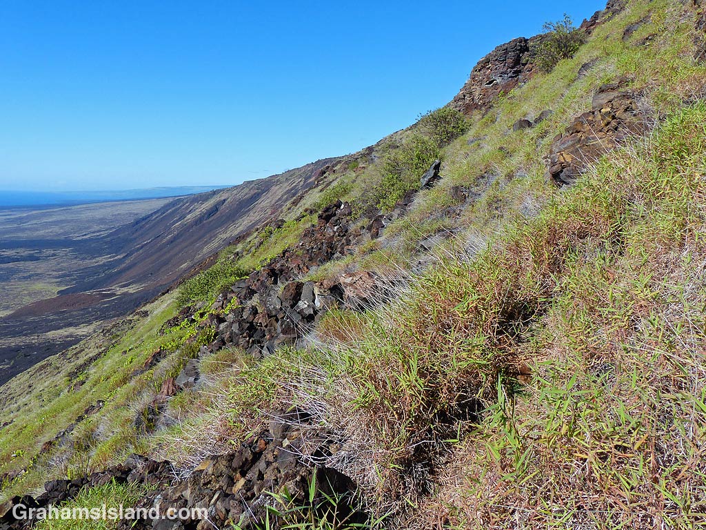
A kayak fisherman paddles by.A couple of boats ply the waters off the South Kohala coast.A blue helicopter at rest.A gulch at Kalopa State Park.Hiking down the Hilina Pali Trail at Hawaii Volcanoes National Park.Tzatziki enjoying the shade at Pana’ewa Rainforest Zoo & Gardens.
The firehose of lava from Pu’u O’o vent during an eruption in 2017.
The idea of The Numbers Game is to enter a number into the search bar of your computer and then post a selection of the photos that turn up. This week’s number is 243. Captions are on the photos. You can see more responses here.
The top photo and the first gallery are photos that haven’t run on the blog before. I don’t know why I never ran the top one, though I had a lot of good photos to choose from that day.
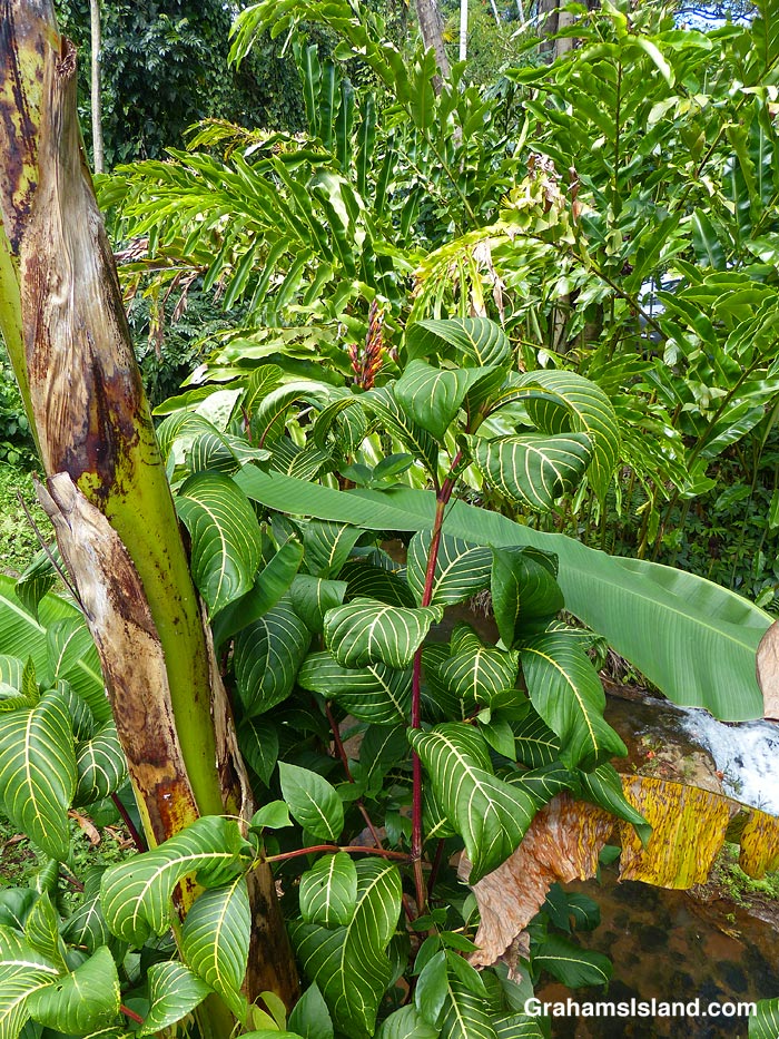
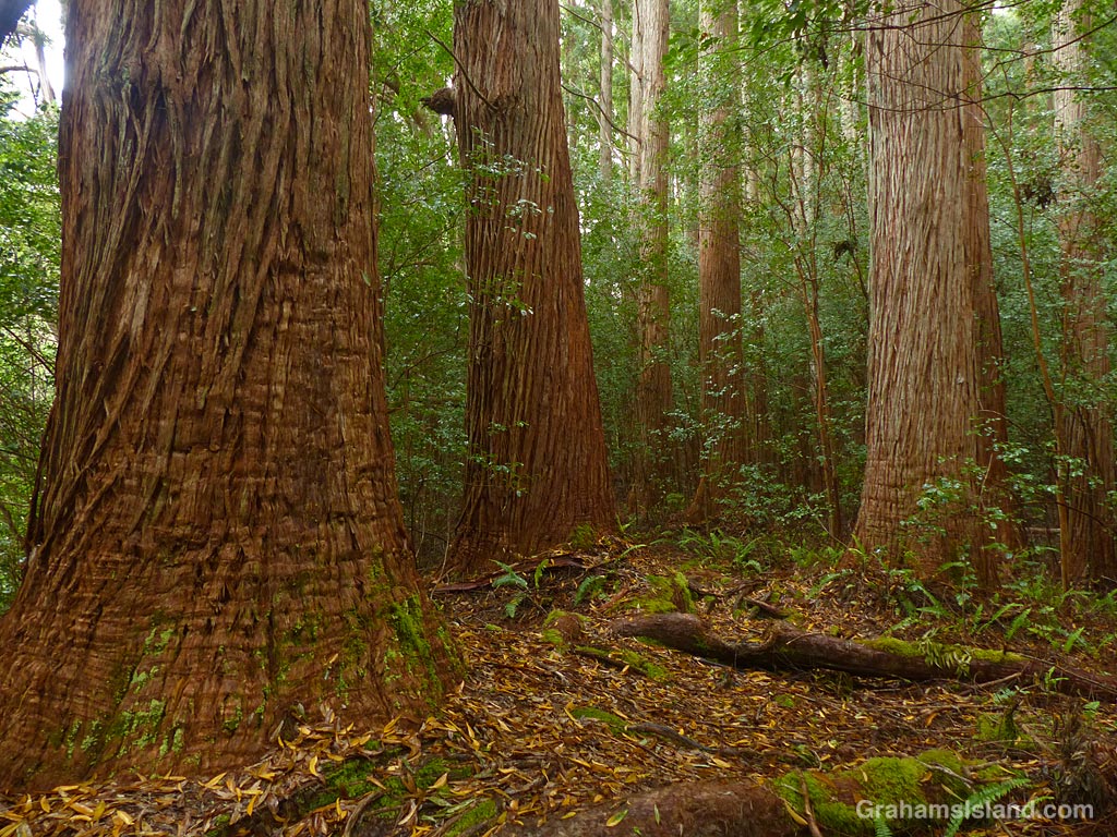
Tropical foliage.A Catatante ‘Pacific Sunspots’ orchid at Hawaii Tropical Botanical Garden.Tree trunks at Kalopa State Park.Nishimura Bay on the Kohala Coast.A view of Mauna Kea from Hualalai.Dappled light on sandy ridges off the Kohala Coast.