
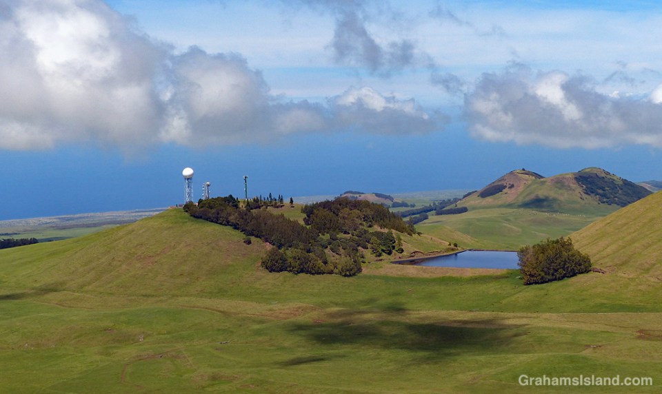
NEXRAD is the Next Generation Weather Radar operated by the National Weather Service, Air Force Weather Agency, and Federal Aviation Administration. There are 160 sites, most of which are spread across the United States. Four of the sites are in Hawaii, two of which are on the Big Island. This site is on Kohala Mountain, northwest of the summit. It’s known to local pilots as the golfball, for obvious reasons.
This weather radar network is a staple of online news and weather sites and shows the location and movement of rain and clouds. The Kohala radar features a pie-slice area of permanently clear weather to the northeast, which I assume is caused by the nearby topography.
I use the weather radar quite a bit and find it fairly helpful, though the weather here is quick to change. Weather forecasts, on the other hand, I find are more of a 50-50 proposition – they’re either fairly right (not too hard to figure out when the trades are blowing) or wildly wrong (all other situations). However, since it’s almost always warm here, I can’t complain too much.
For more information about NEXRAD radar, go to https://www.ncdc.noaa.gov/data-access/radar-data/nexrad.
