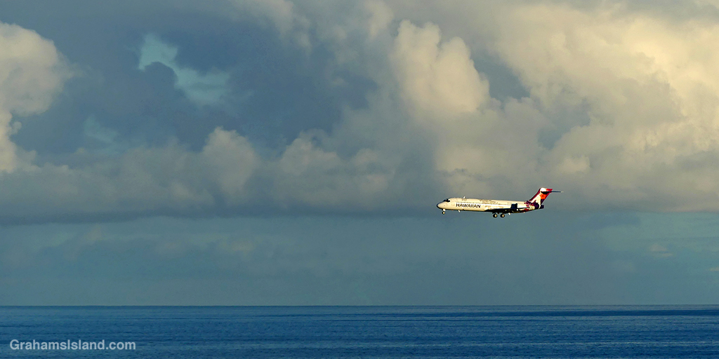
An early morning Hawaiian Airlines flight coming in to land at Kailua Kona airport.

An early morning Hawaiian Airlines flight coming in to land at Kailua Kona airport.
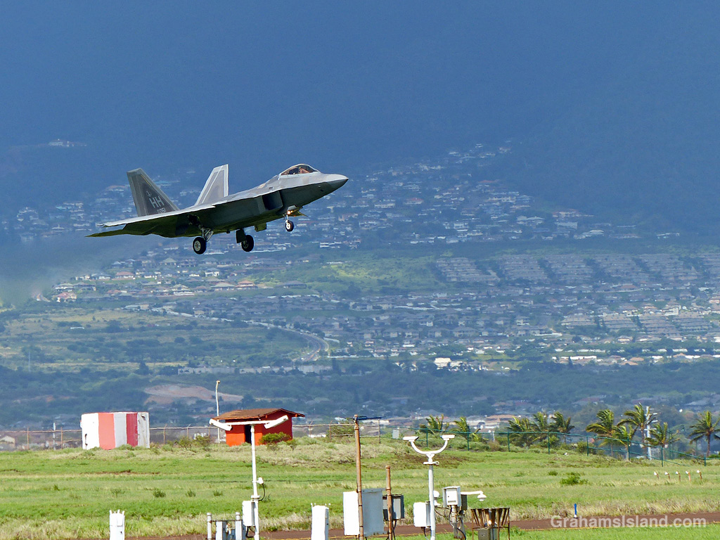
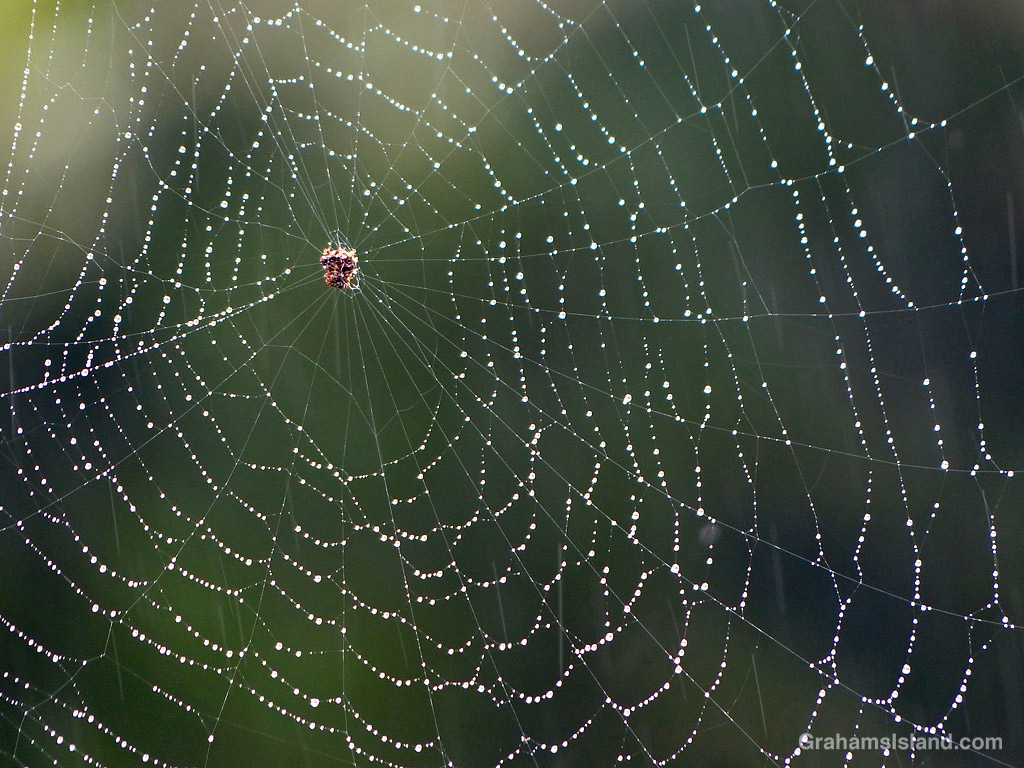
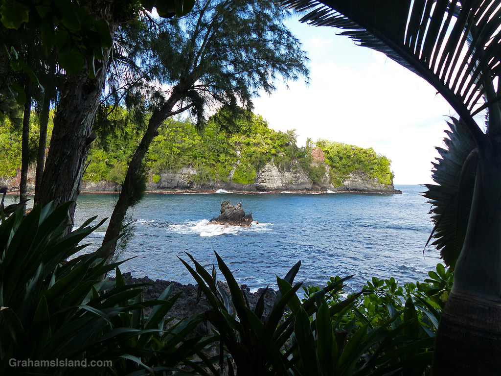
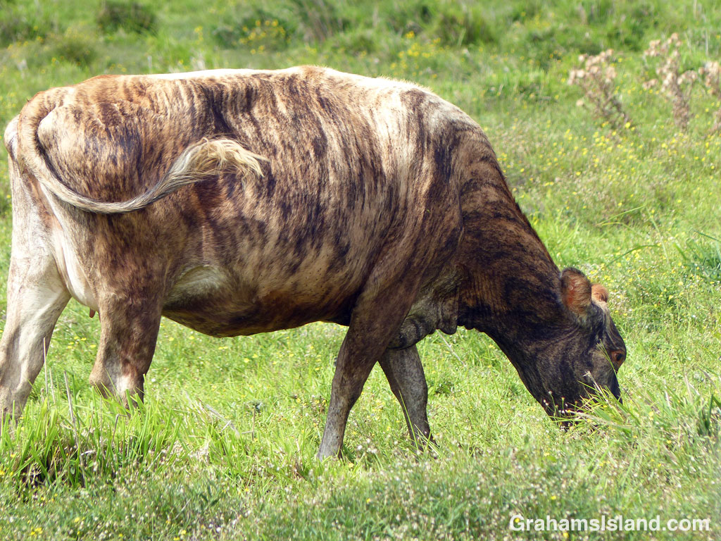
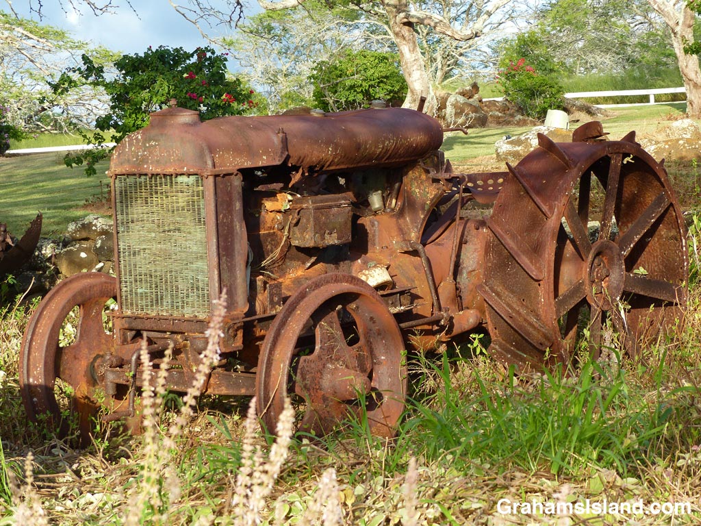
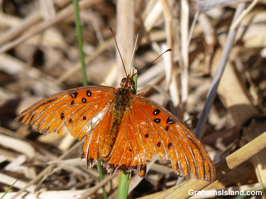
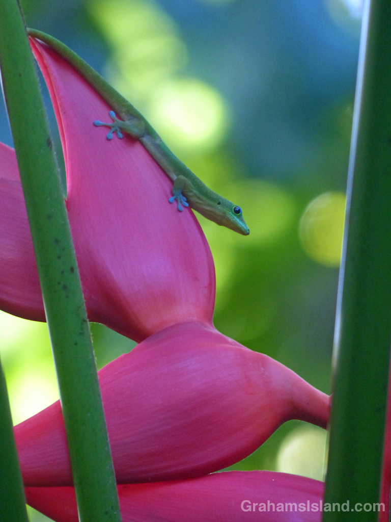
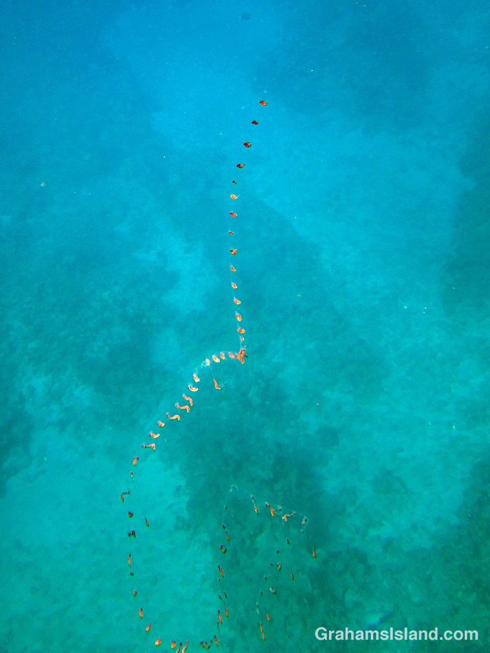
The idea of The Numbers Game is to enter a number into the search bar of your computer and then post a selection of the photos that turn up. This week’s number is 747. Captions are on the photos. You can see more responses here.

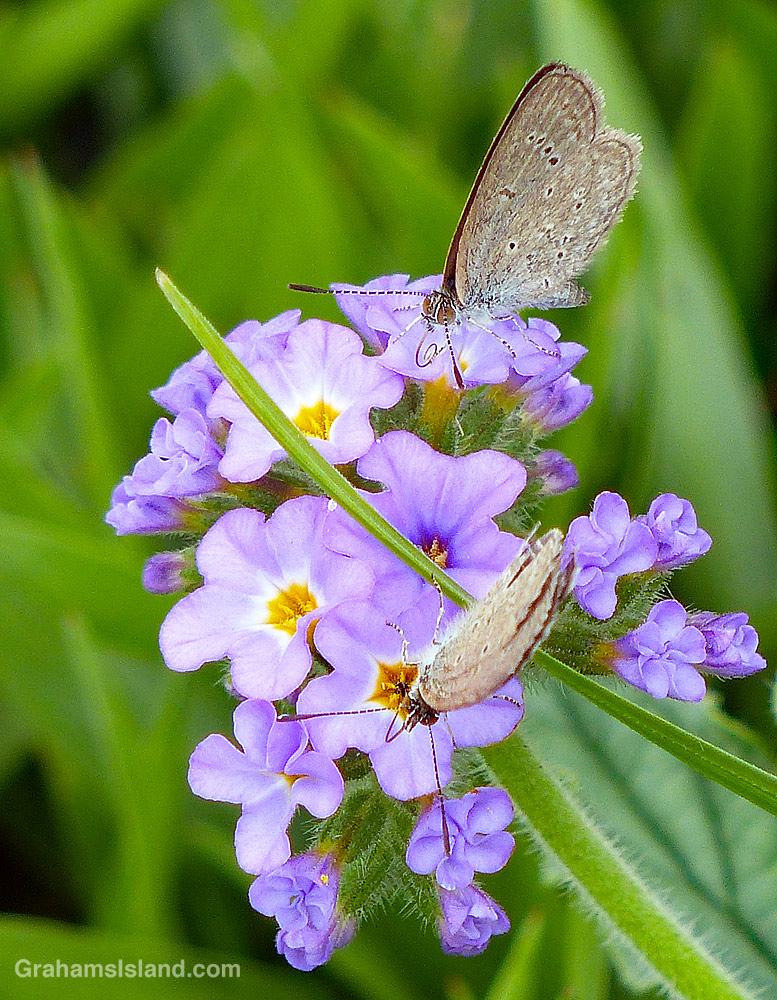
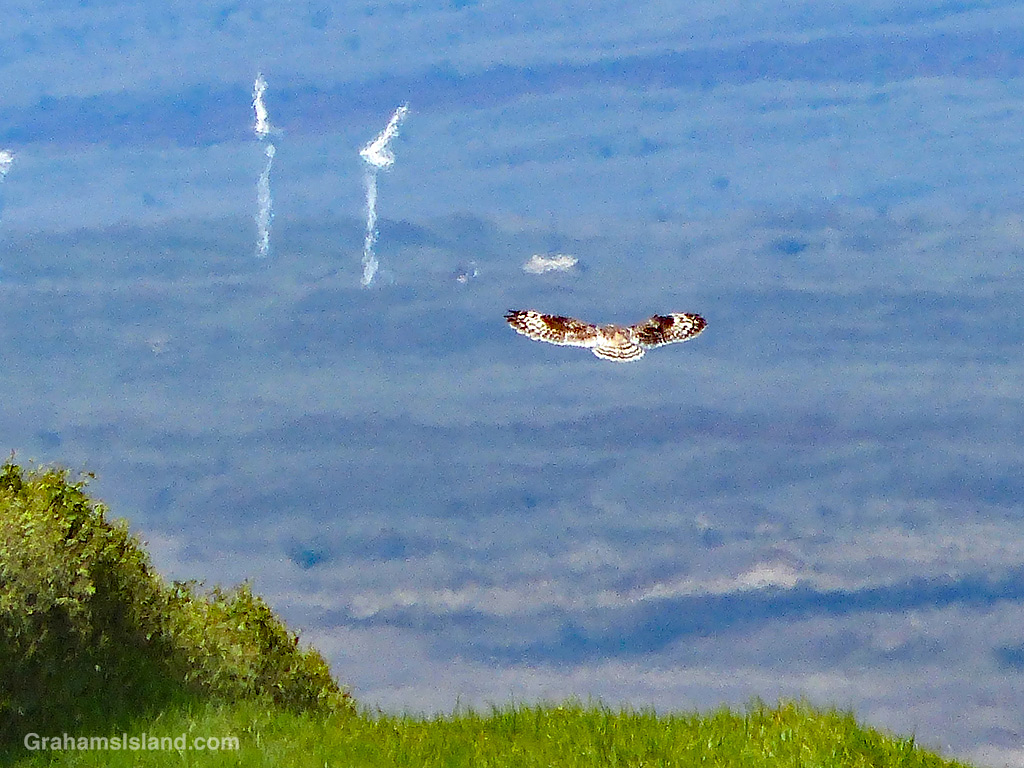
This week’s Sunday Stills challenge theme is ‘Wild Animal or Bird of the Month.’ See more responses here.
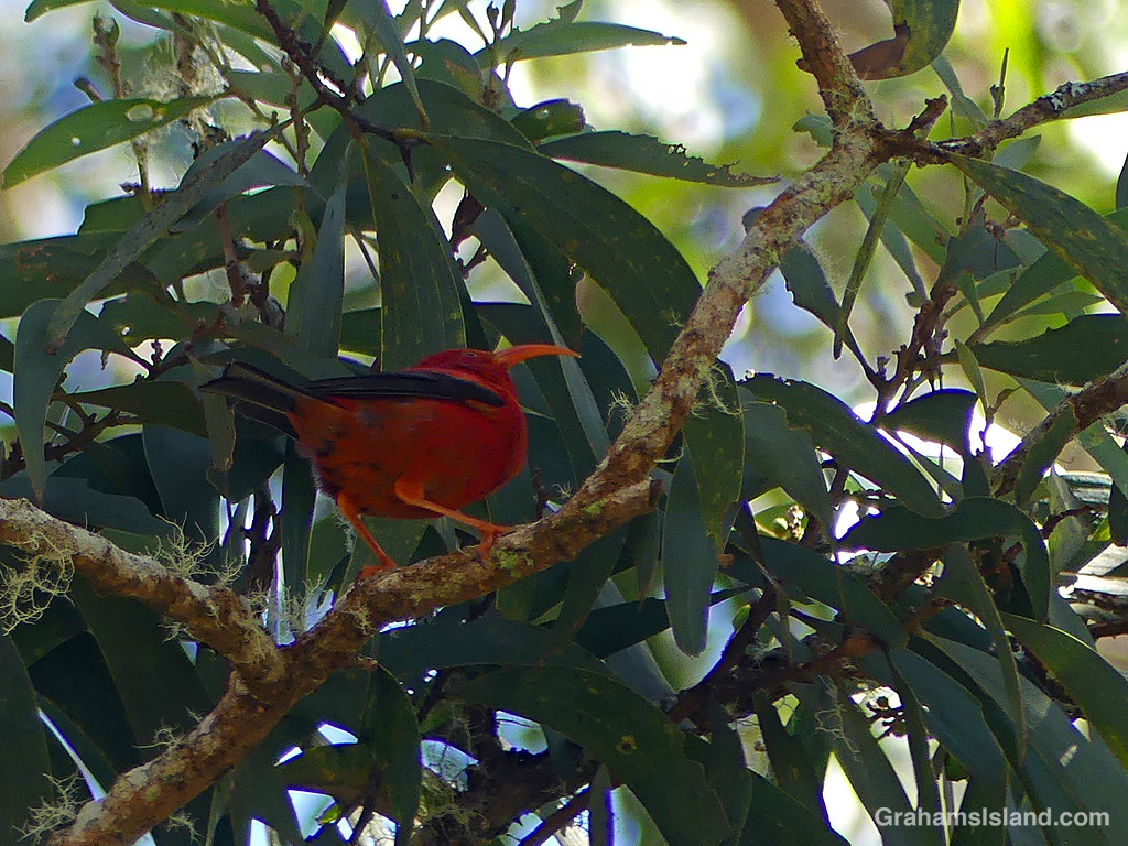
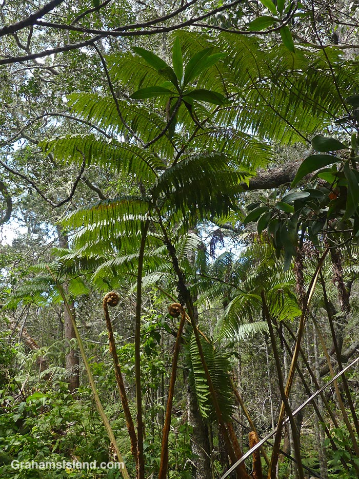
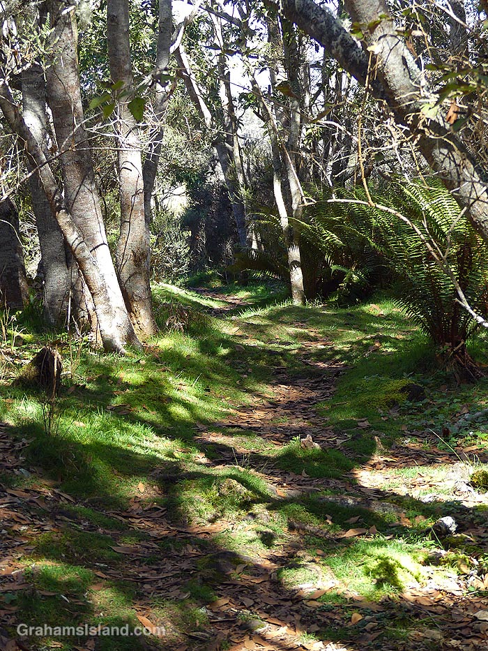
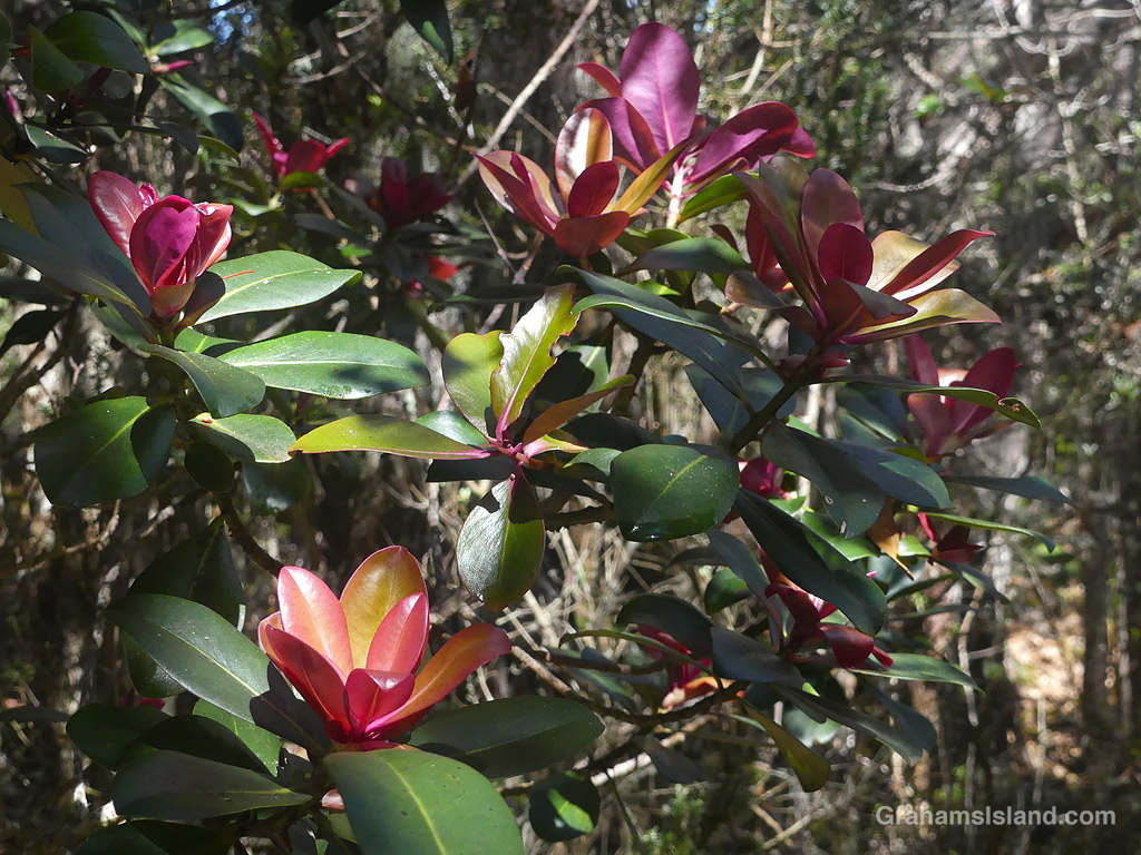
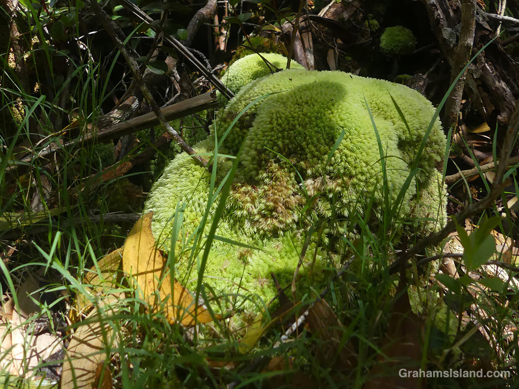
Pu’u O’o Trail is a few miles east of the saddle between Mauna Loa and Mauna Kea, on the south side of the main cross-island highway. It’s all above 5,000 feet and can be cold, wet, and windy, but I’ve had good luck picking warm, sunny days. These photos are from a couple of recent hikes I took up there. Captions on the photos.
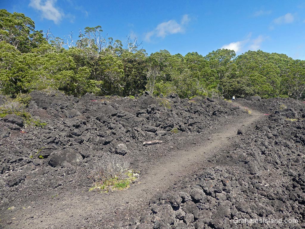
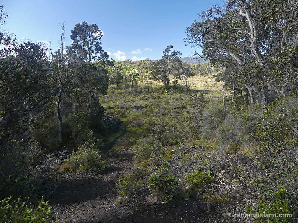
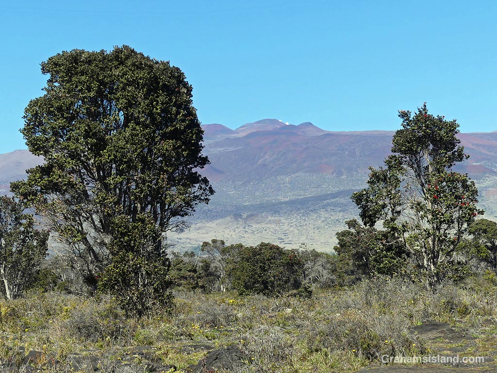
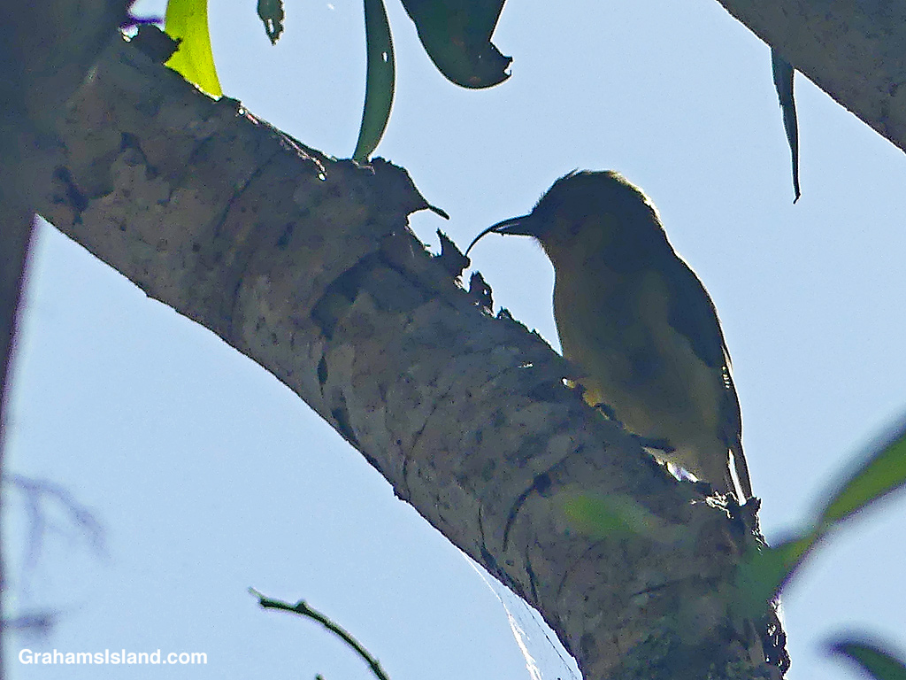
The trail crosses old lava flows from Mauna Loa, but there are kīpukas, areas of old-growth forest missed by the lava, which are home to several kinds of native birds.
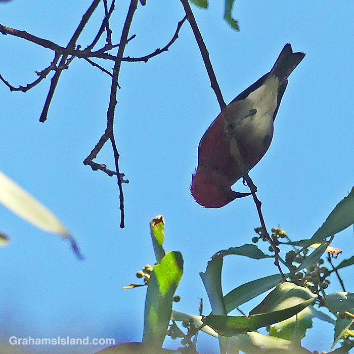
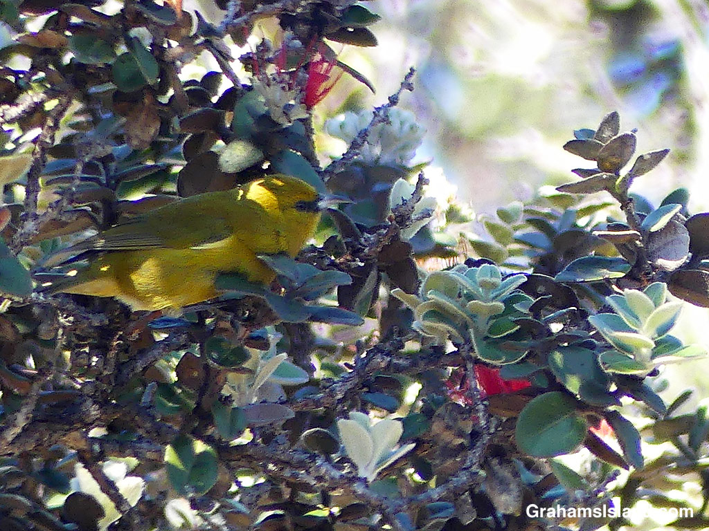
On my last visit, I was lucky enough to see an ‘Akiapola’au, an endangered native species, which is only found on this island these days. This one was high up in the trees with the sun behind it. While my photos weren’t great, I was still able to see this industrious bird foraging for a meal. The shorter lower mandible is used to drill into branches and then the curved upper mandible digs out the grubs hiding within.
These native birds make this trail popular with birders, but it’s a good hike for anyone. A 9-mile loop is possible, but I usually do an out-and-back hike through the first two or three kipukas, which totals about five miles.
Also posted for Jo’s Monday Walk. See more responses here.
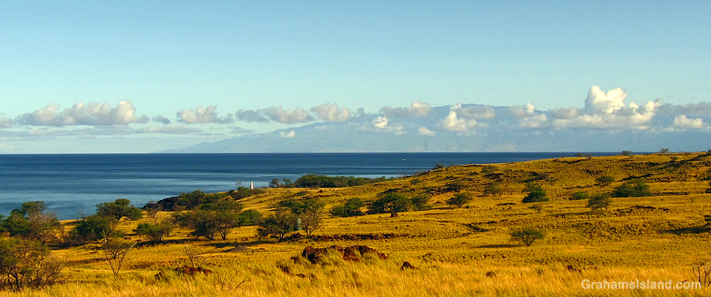
A view of Maui from the entrance to Lapakahi State Historical Park. It looks quite close, but the distance is about 40 miles.
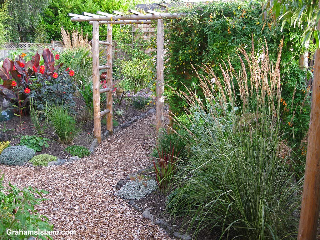
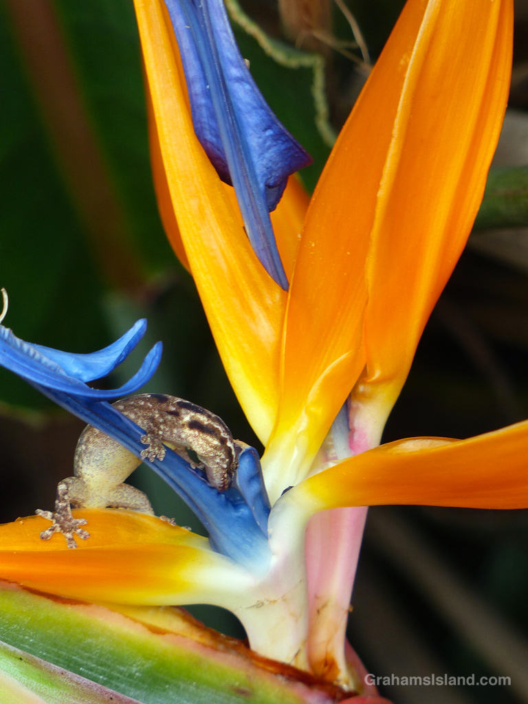
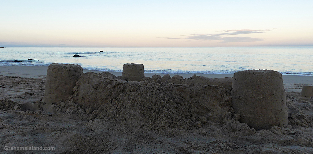
The idea of The Numbers Game is to enter a number into the search bar of your computer and then post a selection of the photos that turn up. This week’s number is 746. Captions are on the photos. You can see more responses here.

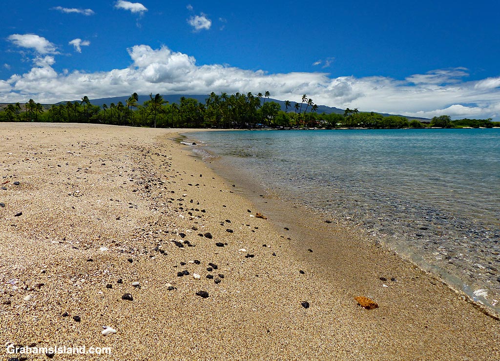
Early morning at Hapuna.
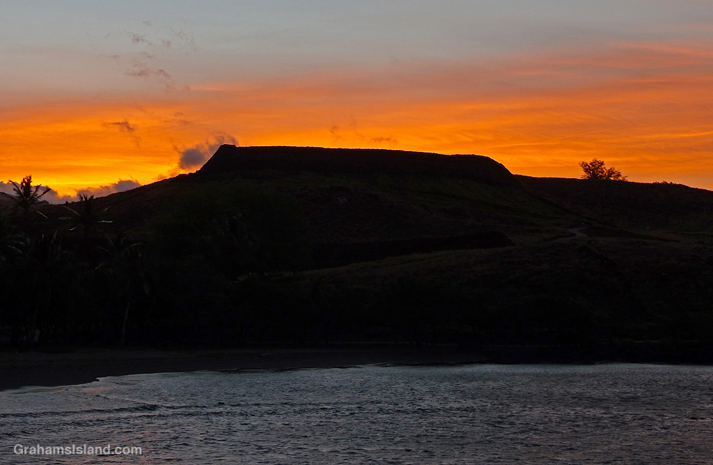
Sunrise at Pu’ukoholā Heiau in Kawaihae.
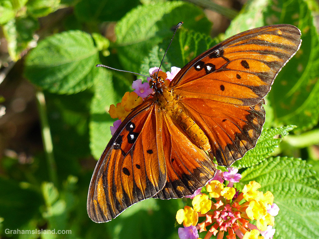
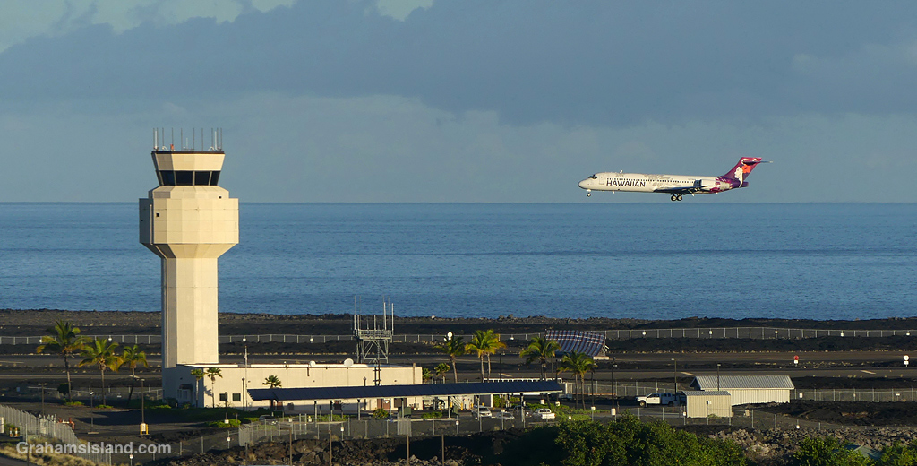
The idea of The Numbers Game is to enter a number into the search bar of your computer and then post a selection of the photos that turn up. This week’s number is 744. Captions are on the photos. You can see more responses here.