Tag Archives: South Point

What the tide washed in

Beach debris Big Island

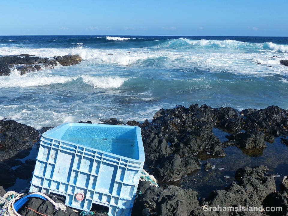
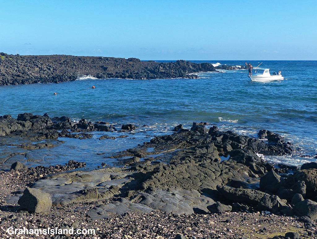
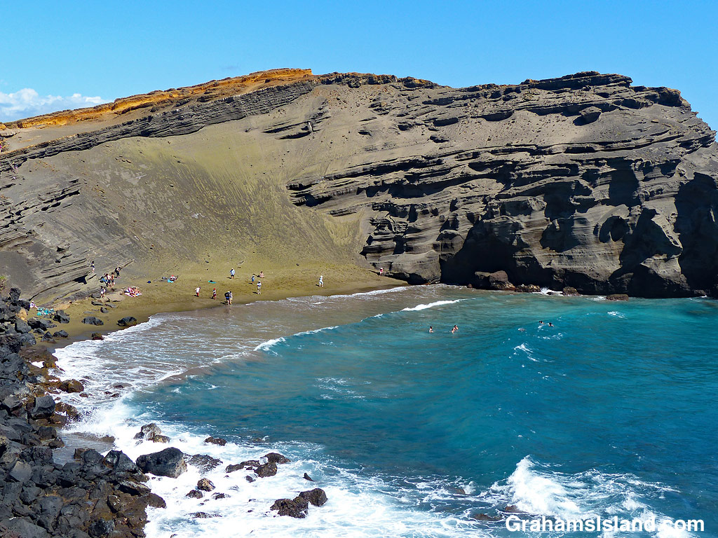
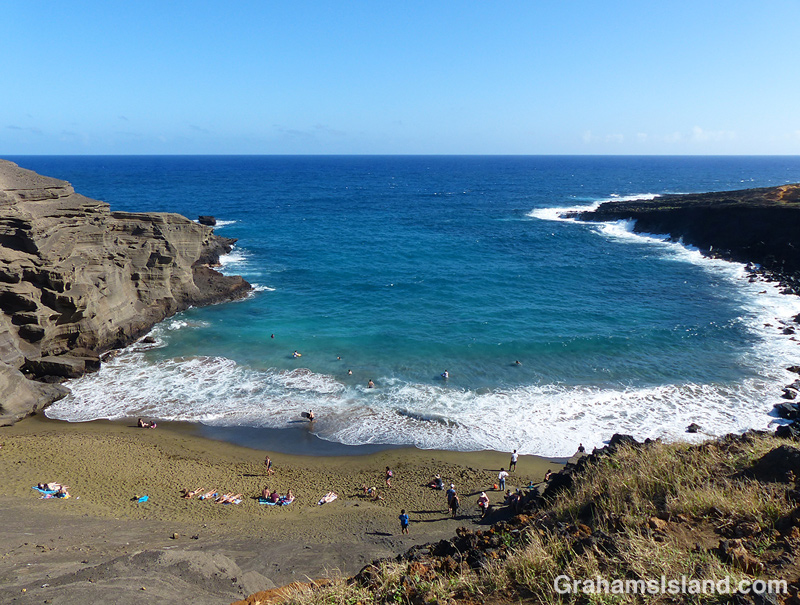
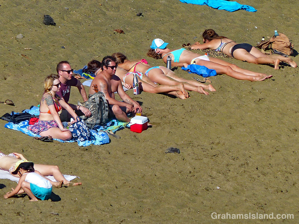
These are scenes from the coast of the Big Island, a few miles northeast of South Point, the island’s southernmost tip. This stretch of coast is notorious for the amount of marine debris on its shores.

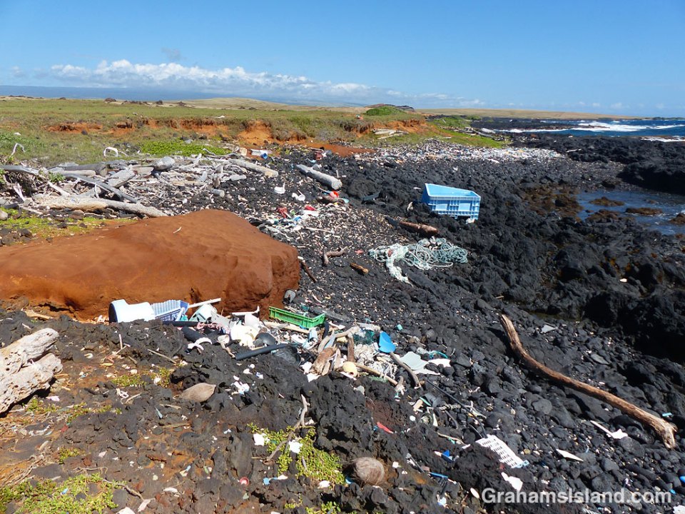
In late January of this year, a mass of rope washed up at Kamilo Point, just a few miles from where these photos were taken. The rope mass was estimated to weigh around 40 tons. Kamilo Point is nicknamed ‘Plastic Beach’ because weather conditions and ocean currents bring huge amounts of debris ashore there. At least some of this junk is believed to have come from the ‘North Pacific Garbage Patch’ and before that, Asia.

In early March, volunteers gathered 11.6 tons of debris from this same stretch of coast.

The debris in these photos is mild be comparison, but still unsightly, and dangerous for everything from seabirds to Hawaiian monk seals, turtles, and humpback whales. That said, the blue plastic soaking tub (below) on the ocean’s edge, looked awfully inviting.

Beach debris near South Point

South Point Space Tracking Station

South Point Space Tracking Station dishes

Mauna Kea is well known for its telescopes. At 14,000 feet, with clear skies most nights of the year, it’s a perfect spot for astronomical observations. But it’s not the only space-related site on the island.

South Point Road is a narrow, 12-mile long highway that cuts through pasture land on the way to the southernmost point in the U.S.A.. It seems a most unlikely spot to run across these two dishes, in a field, just east of the road.

A little research revealed that the facility is operated by the Swedish Space Corporation’s Universal Space Network. It’s a remote operated station for space tracking and communications. I’ve never seen anyone there, but I like to think that the many cattle around, perhaps inspired by Gary Larson, plan on using the facility when they finally lift off for the moooooon.

Posted in response to this week’s WordPress Photo Challenge ‘Unlikely.’

South Point Space Tracking Station

Green Sand Beach

This week’s WordPress photo challenge is ‘Tour Guide’ which I’m happy to use as my theme for this week’s posts. Since this is Hawaii, a good place to start is at the beach. This one is Papakōlea Beach, better known as Green Sand Beach. It’s about 3 miles northwest of South Point, the most southerly point in the United States.

The beach lies in a bay formed when the ocean eroded one side of an old cinder cone, Pu’u Mahana. The green color of the sand is a result of olivine in the lava. Since it’s heavier than other things in the lava, it stays on the beach. Swimming is possible in the shelter of this deep bay, but be careful. This coast is notorious for dangerous surf and strong currents.

It’s 2 1/2 miles to the beach from the parking area. There’s a very rough four-wheel drive road, which you can drive, or locals will ferry you out for a fee. The other alternative is to hike out along the coast, which is what I did.

You’re not likely to have the beach to yourself, but you will have a share of a beautiful, remote beach, a view all the way to Tahiti (you might have to stand on a rock), and the opportunity to broil on the distinctive green sand.