

This is a continuation of yesterday’s post.
Having arrived at the North Pit around 11:00 a.m. I had to decide what to do next. I could explore the North Pit. I could turn around and head down. I could continue on to the summit. The summit is another 2.5 miles or so – I’ve seen different numbers. It’s not steep, but it is relentlessly up, traversing more rough lava and all of it above 13,000 feet.
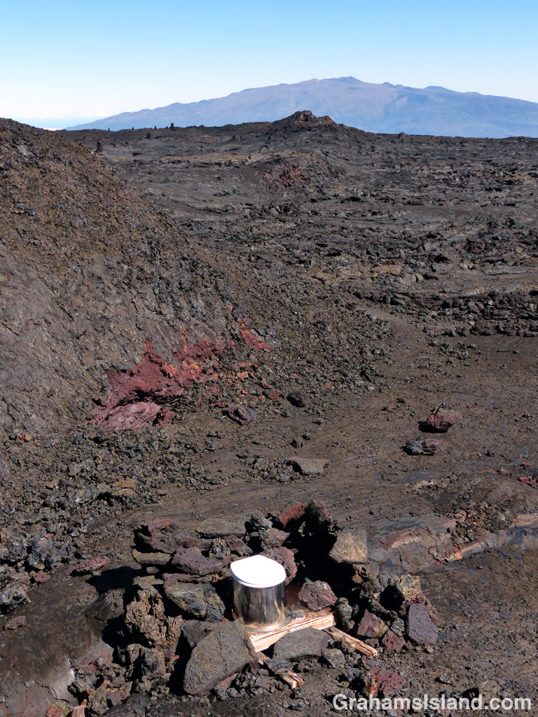
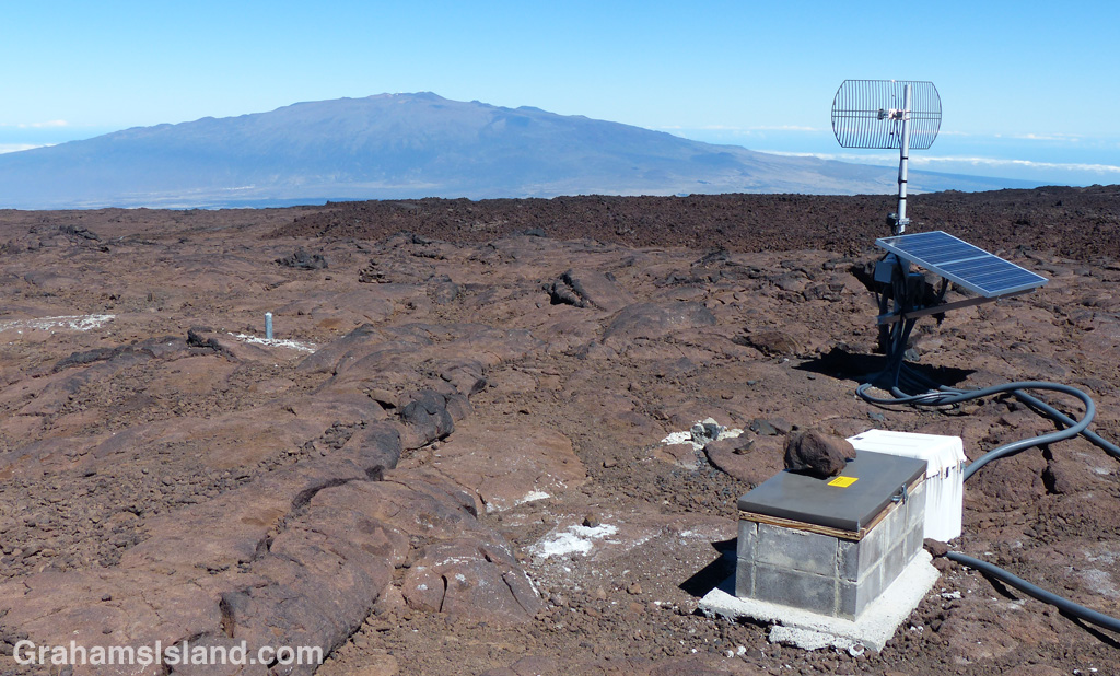
Still, I was here in better time than I expected, the weather continued to look good, and I continued to feel good. So off I went onto the Summit Trail. Near the start there’s a shelter which is really just a good-sized pit. It’s a good place to shelter from the wind if it’s blowing (and it can really blow), but not so good if it’s raining or snowing.
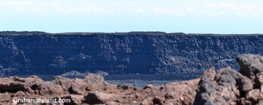
The trail rumbles uphill. It’s mostly steady going with occasional forays over more challenging a’a lava. The biggest thing, at least as far as I was concerned, is that it just keeps going. There are a succession of crests, not really ridges, just places that look like they’re a ridge. The first one or two didn’t raise any hopes because I knew I hadn’t gone that far. But after that, it’s a series of raised and dashed hopes – ‘maybe that’s the summit, oh no, there’s another one.’
I trudged on, not feeling too bitter about these constant let downs. What did concern me was that I was starting to feel less well. I reached a point where I was sure that the next ridge was the summit and swore that if it wasn’t I was going down because of how I felt. Of course, it wasn’t the summit, but the next ridge really wasn’t far, so I carried on. I repeated this delusion a second time and, when I topped that rise, finally saw the summit. It was a half mile off.
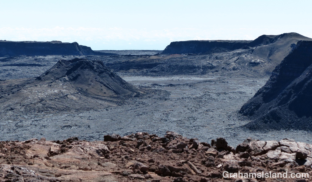
I could probably have slogged that last leg, but I really didn’t feel good and the only cure for altitude sickness is to lose altitude. So I rested a while, had a bite to eat, and enjoyed what was still an awesome view of Moku’āweoweo. I’d been drinking water steadily all the way up and continued to do so. Dehydration sneaks up fast at altitude.
After a short while, I packed up my gear, gave the summit a final rueful glance and headed back the way I’d come.
Tomorrow, I’ll post the hike back down.
For more information about the Mauna Loa Observatory Trail, go to bigislandhikes.com/mauna-loa or instanthawaii.com (under Things To Do, check Scenic Drives for the road up to the observatory and Hikes & Trails for the trail).

Pingback: Mauna Loa hike – going up | Graham's Island