
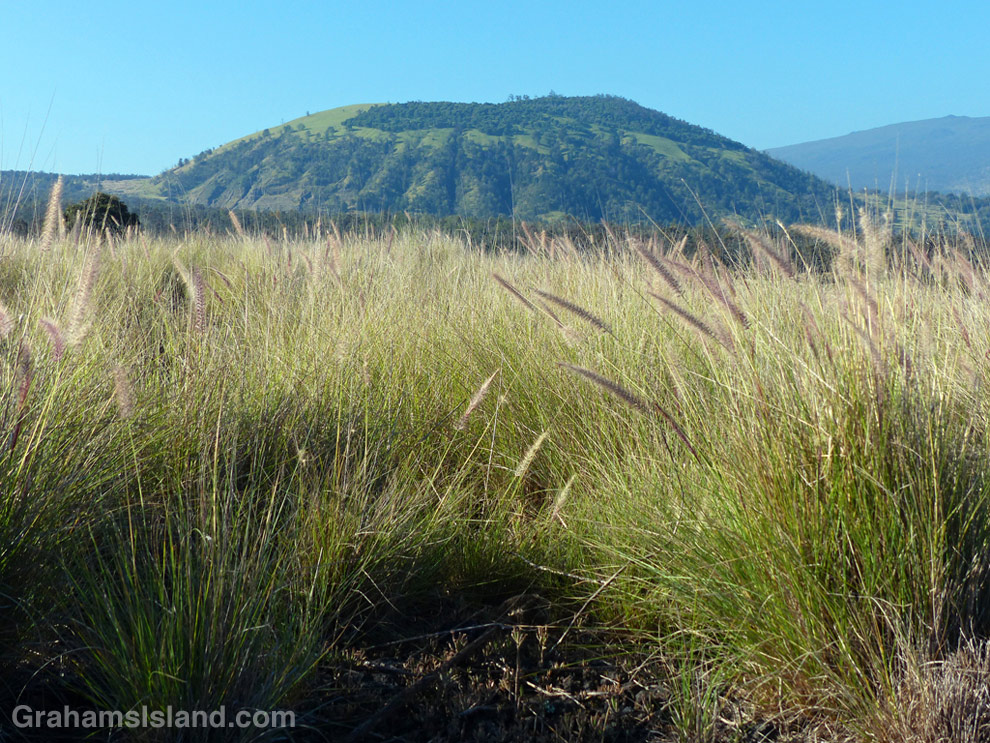
Pu’u Wa’awa’a seen from the trailhead over a sea of fountain grass.

This old quonset hut, at the foot of Pu’u Wa’awa’a, was probably an old ranch building.

Tamaki Corral was used by the old Pu’u Wa’awa’a Ranch. Hualalai is visible in the background, before clouds rolled in.
Pu’u Wa’a Wa’a means “many-furrowed hill.” It’s popularly known as ‘jello mold,’ and is the biggest of several cinder cones on the slopes of Hualalai volcano.
The land is a State Forest Reserve with about 8 miles of hiking trails. The main trail leads to the top of the cone and is about 3 miles each way. The first half follows an old road that passes through a mostly forested area. There’s a good deal of bird life here, more often heard than seen in my experience. The trail then heads up the side of the cone itself in open country, passing old ranch buildings and likely some cattle, horses, sheep and goats.
Once at the top, the views can be tremendous, but an early start is needed. Clouds build up on the slopes during the morning and by midday the view can be fading or gone.
For more information about Pu’u Wa’a Wa’a and its trails, go to puuwaawaa.org.

The smaller Pu’u Iki cone seen from the top.
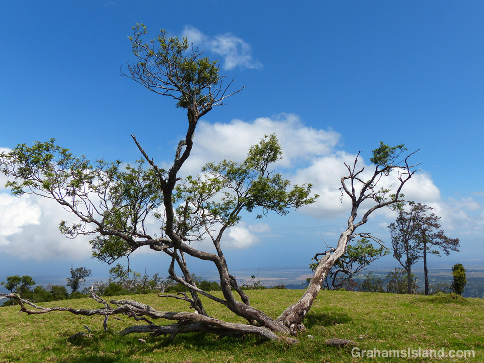
A Mamane tree atop Pu’u Wa’awa’a, with the coast in the distance.
