Category Archives: Hawaiian History

Signs: Hazardous Area

A sign at Mo'okini Heiau

This sign greets visitors to Mo’okini heiau. The heiau dates back to the 11th or 12th Century when it was an important religious site where thousands of human sacrifices were carried out. A hazardous area indeed. I imagine there were many who would happily have risked climbing the walls in those days.

For more information about the Mo’okini heiau, go to bigislandhikes.com/mookini-heiau/.


King Kamehameha’s statue

King Kamehameha's statue in Kapaau, is draped in leis on Kamehameha Day.

Yesterday was Kamehameha Day, celebrating Kamehameha 1, the king who first united the Hawaiian Islands under one leader. In North Kohala this involved a parade featuring representatives of all the islands and ceremonies during which the king’s statue in Kapaau is draped with leis.

The statue in Kapaau was commissioned in 1878 for display in Honolulu. But the ship transporting it from Europe caught fire and sank off of the Falkland Islands. A replacement statue was ordered, but before it was delivered, the original turned up. It had been salvaged and sold to a junk dealer in Port Stanley. There, it was recognized by a British ship’s captain who bought it and took it to Honolulu. The statue was in poor condition after its time in the sea and some rough treatment during its salvage and subsequent transport.

In the end, the Hawaiian government decided to erect the replacement statue in Honolulu since it was in better shape. The original was restored and sent to Kohala, which is where Kamehameha 1 was born. Unlike the statue in Honolulu, which features gold gilt, the Kohala statue is painted, a local preference which persists to this day.

Better Days: Hakalau Plantation Company

One of the remaining warehouses of the old Hakalau Plantation Company.
This is one of two remaining warehouses of the old Hakalau Plantation Company at Hakalau Point. This was one of several sugarcane plantations that dominated the Big Island. The sugar mill was located nearby, in the gulch at the mouth of the river. The mill was wiped out in a tsunami in 1946 and swiftly rebuilt in the exact same place!

The mill finally closed in 1974 and now the plantation company property is up for development. Hawaii County is mulling a proposal to buy this property and preserve the site. This process will likely go on for months, possibly years. At this stage, it could go either way. One thing is certain, similar situations will continue to crop up on the Big Island: there’s a lot of coastline and most of it is prime development real estate.

For more information about Hakalau and the Hakalau Plantation Company, go to hakalauhome.com.

Mo’okini Heiau

Mo'okini Heiau


According to tradition, Mo’okini Heiau dates back to the 5th century, when it was built on the northern tip of the island, by the high priest, Mo’okini. Somewhere between the 11th and 14th  century (dates vary) another priest called Pa’ao is said to have built the current structure. Pa’ao came from Tahiti or Samoa and is also said to have brought to Hawaii the practice of human sacrifice and the kapu system, laws that governed daily life.

Given its history, it’s not surprising that some people find the site eerie and unsettling. The stone in the second photo, is where flesh was stripped from bone after a person had been sacrificed.

For more information about Mo’okini Heiau, go to nps.gov/nr/travel/Asian_American_and_Pacific_Islander_Heritage/Mookini-Heiau.htm.

The stone at Mo'okini Heiau where flesh was stripped from bone after a sacrifice.

Small Asian mongoose

A small Asian mongoose
Here is a great candidate for exhibit A in ‘good intentions gone wrong in Hawaii.’ Back in the late 1800’s, rising rat numbers on the Big Island were causing concern, especially among sugar plantation owners. I mean, nobody wants rats around. They bite. They carry disease. They breed like crazy. They kill native birds and eat their eggs. They’re just generally nasty and a menace.

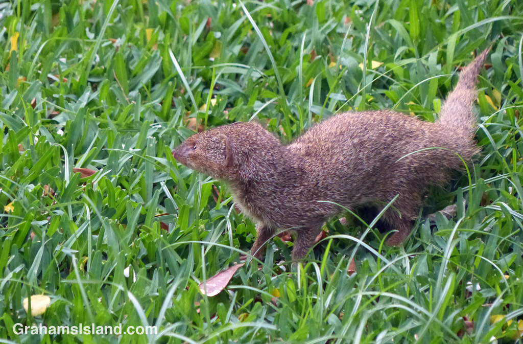
So the plantation owners brought in the small Asian mongoose (Herpestes javanicus) to control the rat population. What could possibly go wrong? Well, for starters, mongooses are diurnal, operating mostly during the day. Rats are nocturnal, active at night. So apart from the twilight hours, never the twain shall meet. In consequence, mongooses had next to no effect on the rat population. The plan was dead on arrival. Still, no harm done, right?

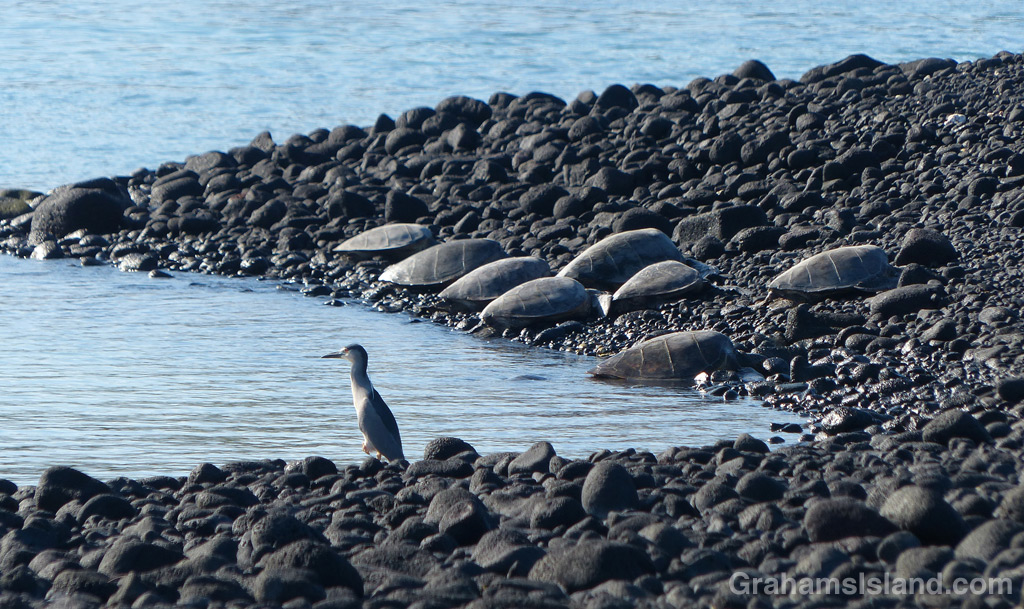
Not exactly. Since the mongooses weren’t subsisting on a diet of fat, juicy rats, they needed something else to eat. And one of the many things on their menu was native bird eggs. The net result was that, instead of eliminating rats, the mongoose extended the problems they caused to 24 hours a day. The effect on native birds in particular, was especially damaging. Kaua’i has a far greater abundance of birds than the Big Island, in large part because it is still, theoretically, mongoose-free.

In Hawaii, mongooses are the poster animals for the devastation wrought by invasive species because, well, they bite, they carry disease, they breed like crazy, they kill native birds and eat their eggs. In fact, they’re just generally nasty and a menace.

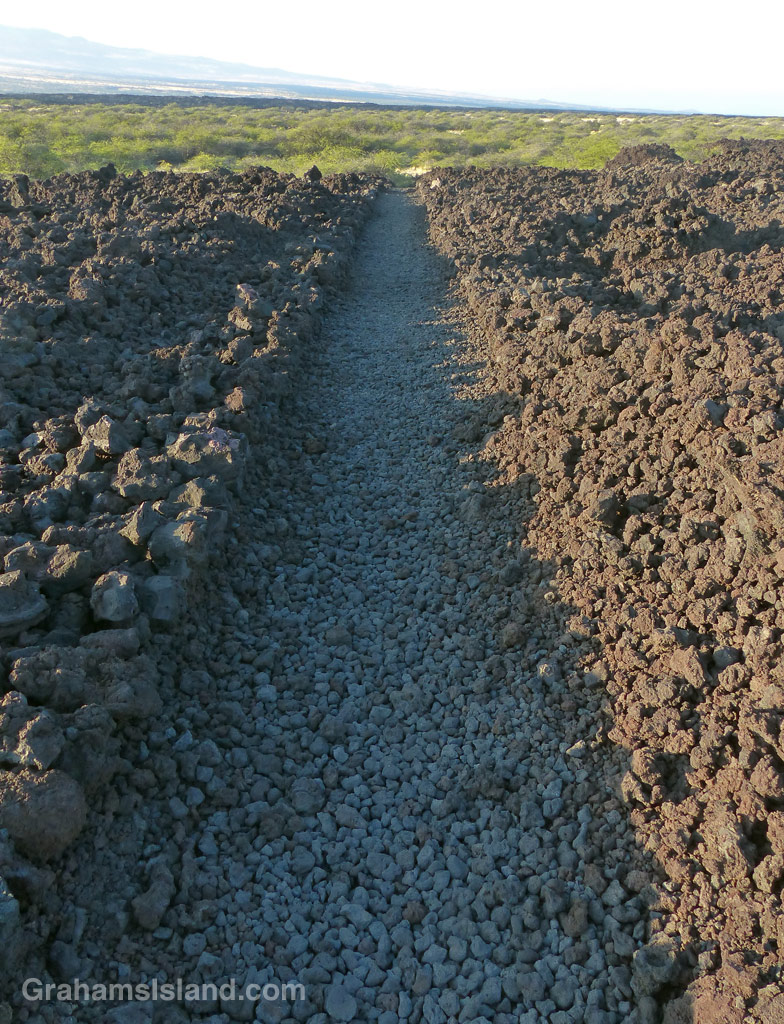
Here on the Big Island, mongooses are most often seen scooting across highways. A generous scattering of squashed corpses attests to those that didn’t make it.

For more information about the small Asian mongoose, go to instanthawaii.com/cgi-bin/hawaii?Animals.mongoose.

Puako Petroglyph Archaeological Preserve

Puako Petroglyphs
Puako Petroglyphs

Petroglyphs can be found at many places around the Big Island. The most extensive display is the Pu’u Loa field at Hawaii Volcanoes National Park, but the Puako Petroglyph Archaeological Preserve also has numerous examples. More than 2,000 petroglyphs, dating back hundreds of years, have been identified. Not all are visible from the area where visitors can go.

Somewhat weirdly, the field is found on the north edge of Mauna Lani resort. This means that in order to see these examples of ancient Hawaiian history and culture, it’s necessary to drive through a swathe of condos and golf courses.

The bulk of the petroglyphs are found at the end of a hot, half-mile trail, bordered by kiawe trees, which are notorious for their long, sturdy, footwear-penetrating thorns. It’s an easy hike and well worth a visit if you have any sort of interest in the history of the island.

Puako Petroglyphs

Keawaiki to Kiholo hike

The King's Trail makes a straight shot to the south of Keawaiki.
The King’s Trail makes a straight shot to the south of Keawaiki.
The King's Trail winds over the pahoehoe lava of Mauna Loa's 1859 eruption. The trail is marked by cairns and, in places, the worn surface of the trail stands out from the surrounding lava.
The trail is marked by cairns and, in places, the worn surface stands out from the surrounding lava.
1-6-16-1859-flow-HW
The trail takes a turn.

This hike is the first half of a loop from inland of Keawaiki Bay, south on the old King’s Trail to Kiholo, returning along the coast.

I was on the trail before 8 a.m. because the lava fields become very hot as the day wears on. The trail started out dead straight, with rock wall sides, until it reached a scrubby tree growing in the path. I figured it would pick up again on the other side, but this marked the boundary of the lava flow from Mauna Loa’s 1859 eruption, which destroyed fishponds and a village on the coast near here.

Instead, the trail wound over and around hummocks of pahoehoe lava and the way was marked mostly by cairns. Pahoehoe lava tends to be fairly smooth and rounded and is relatively easy to walk on, but still requires attention. It’s a matter of a moment’s inattention to end up jamming a foot into a crack and turning an ankle or worse. It’s also very easy to spot the next cairn, wander in its direction, then suddenly realize you don’t see any more because the trail has veered off to avoid some hole ahead or take advantage of easier going.

The tranquil waters of Kiholo Bay.

This is a stark landscape, unrelenting lava with occasional shrubs and tufts of fountain grass. But I like the history of the trail, its connection to the early days of Hawaii.

The distance to Kiholo is a little under 3 miles and I was plenty hot by the time I got there. But at Kiholo there’s shade to be found and the opportunity for a swim. I’ve snorkeled at Kiholo before, but it’s not the greatest. Freshwater springs make the water cloudy and cool.

There’s a blue Kiholo Bay Fisheries Management Area sign where the coast trail almost doubles back on the one I’d arrived on. This lightly marked trail winds around a bay rich with wildlife, most notably green sea turtles. Usually they’re hauled out on the spit that forms the outer part of the bay. This day was no exception. A cluster of 8 turtles had lumped ashore near the tip of the spit, watched over by a guardian heron. Others were scattered in ones and twos up the inside of the spit. I hiked down the length of the spit enjoying the welcome sea breeze and taking photos, making sure not to disturb the turtles. Then it was time to head north again. (For the return hike, click here)

For more info about this, and other hikes on the Big Island, go to bigislandhikes.com. (The hike is listed as Kiholo to Keawaiki, starting from the south.)

A heron stands watch while green sea turtles rest on shore at Kiholo Bay,
A heron stands watch while green sea turtles rest on shore at Kiholo Bay.
1-6-16-Green-Turtle-HW
Green sea turtle resting on the shore at Kiholo Bay.