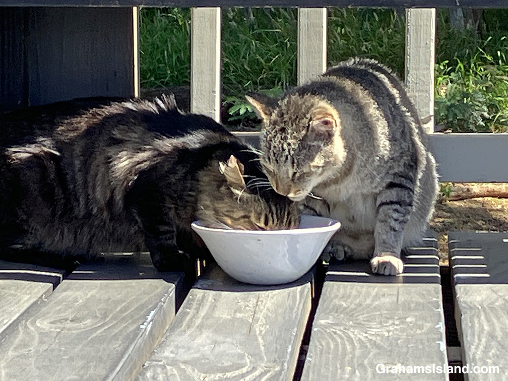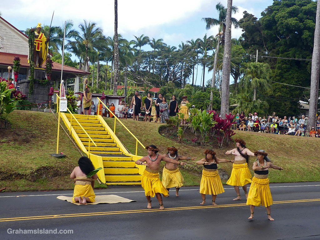
This week’s Sunday Stills challenge theme is ‘Stairs/Steps.’ See more responses here. Captions on the photos as usual.
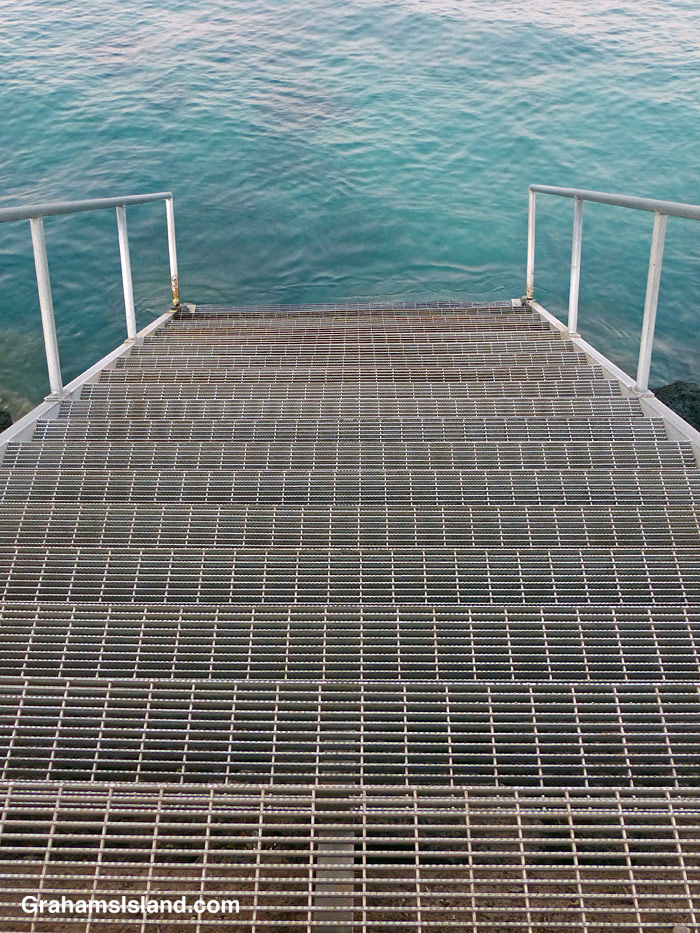
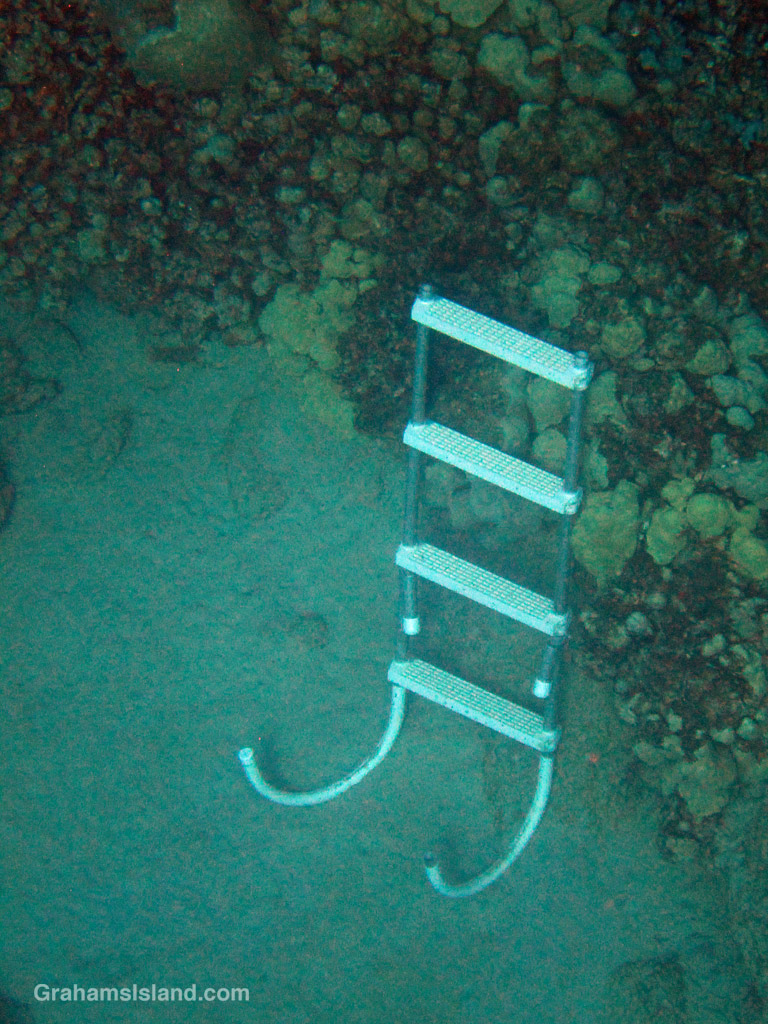
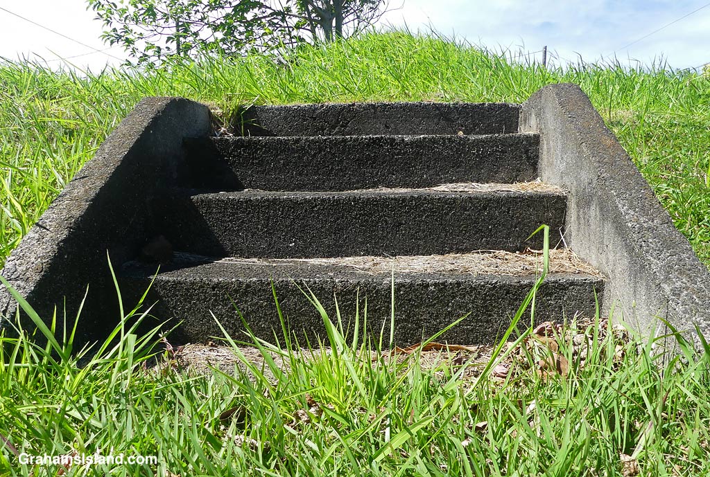
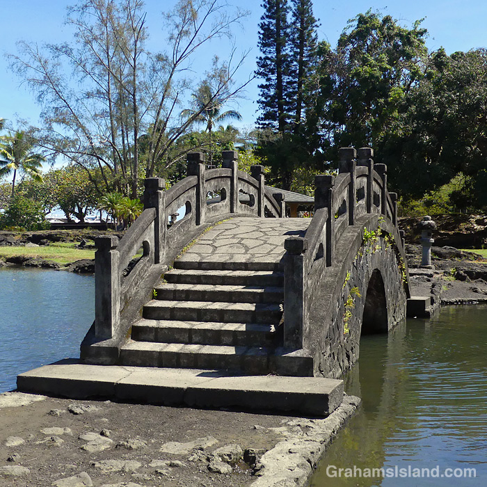
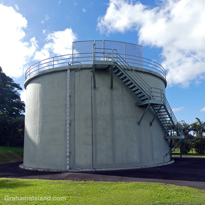
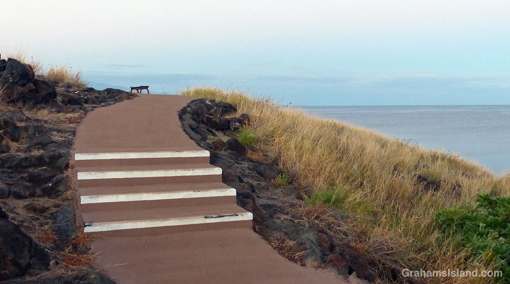

This week’s Sunday Stills challenge theme is ‘Stairs/Steps.’ See more responses here. Captions on the photos as usual.
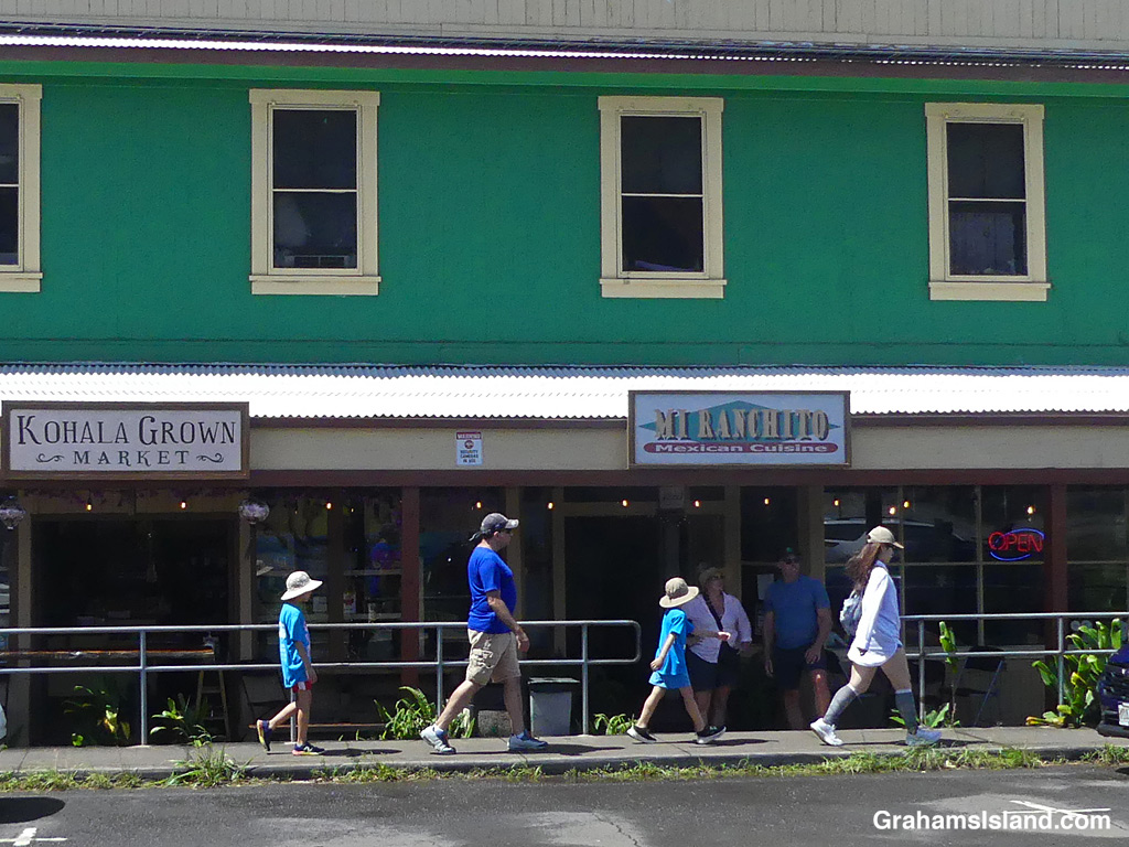
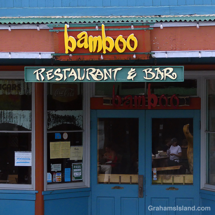
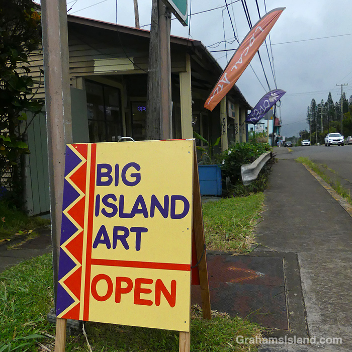
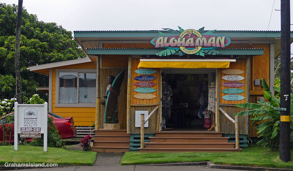
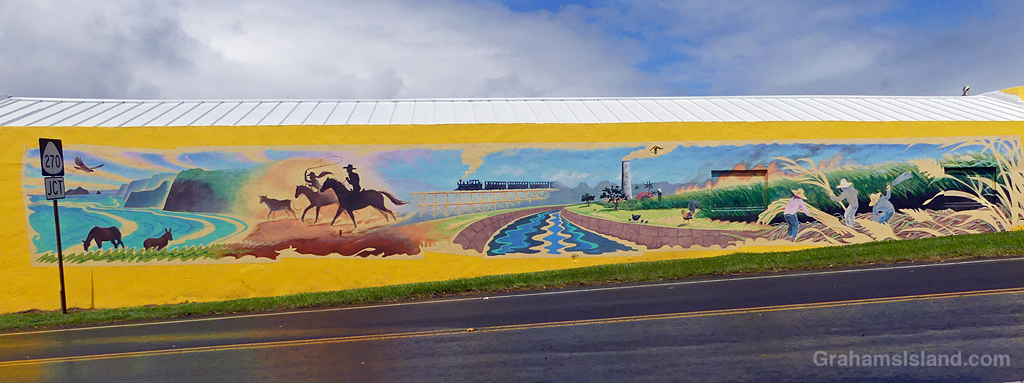
This week’s Sunday Stills challenge theme is ‘Your Home Town.’ See more responses here. Downtown Hawi is only about a block long, but it can be a busy little place, and popular with tourists on their way to and from Pololu Valley.
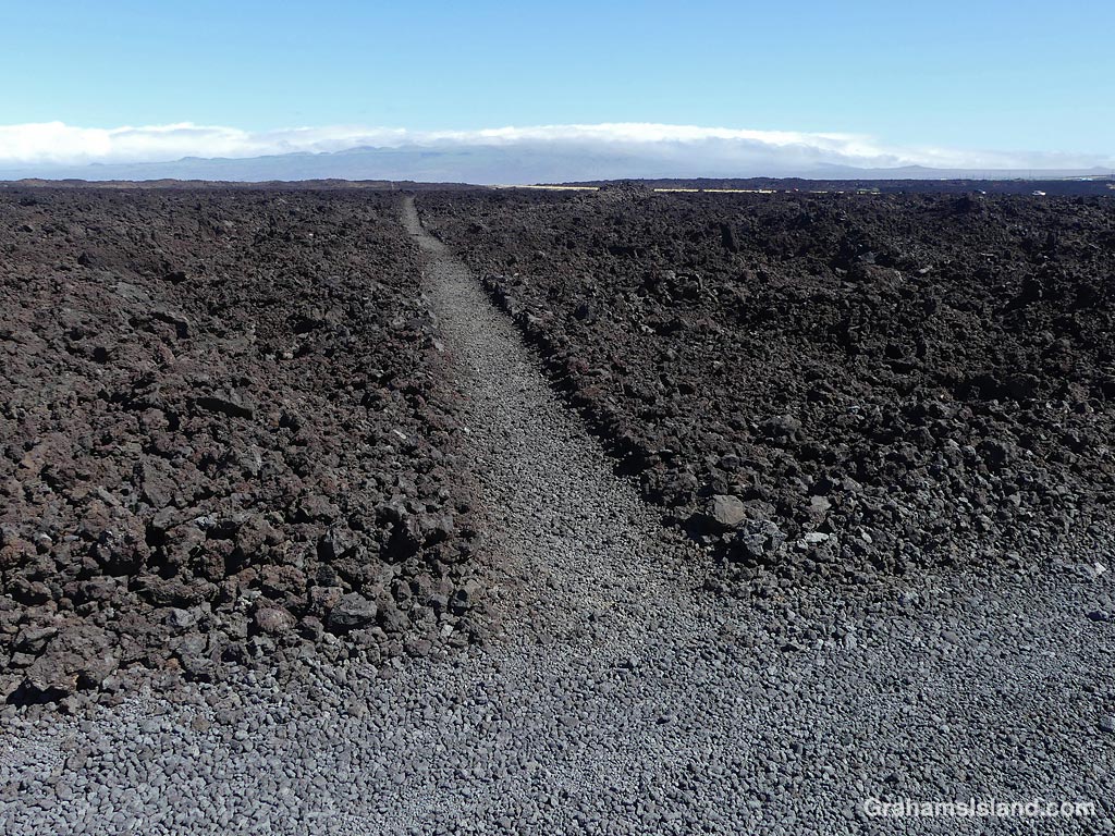
A few weeks ago now, I hiked the Ala Kahakai Trail from Keawaiki to Kiholo returning along the coast. Back in the days of the Hawaiian Kingdom, the Ala Kahakai Trail ran from the northern tip of the island down the west coast and around to the southeastern tip, a distance of about 175 miles (282 kilometers). These days, the trail is broken into shorter lengths with private property in between, though more segments of trail are slowly being added. This section is about 4 miles long.
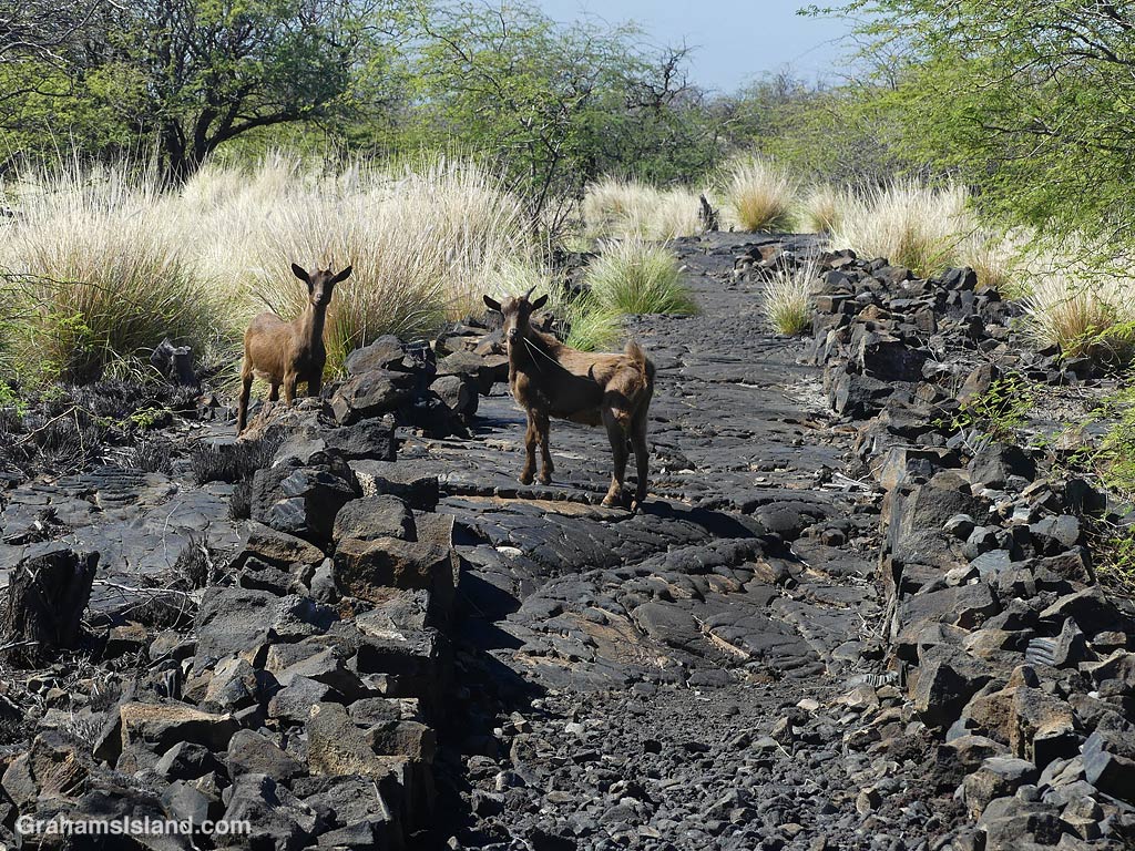
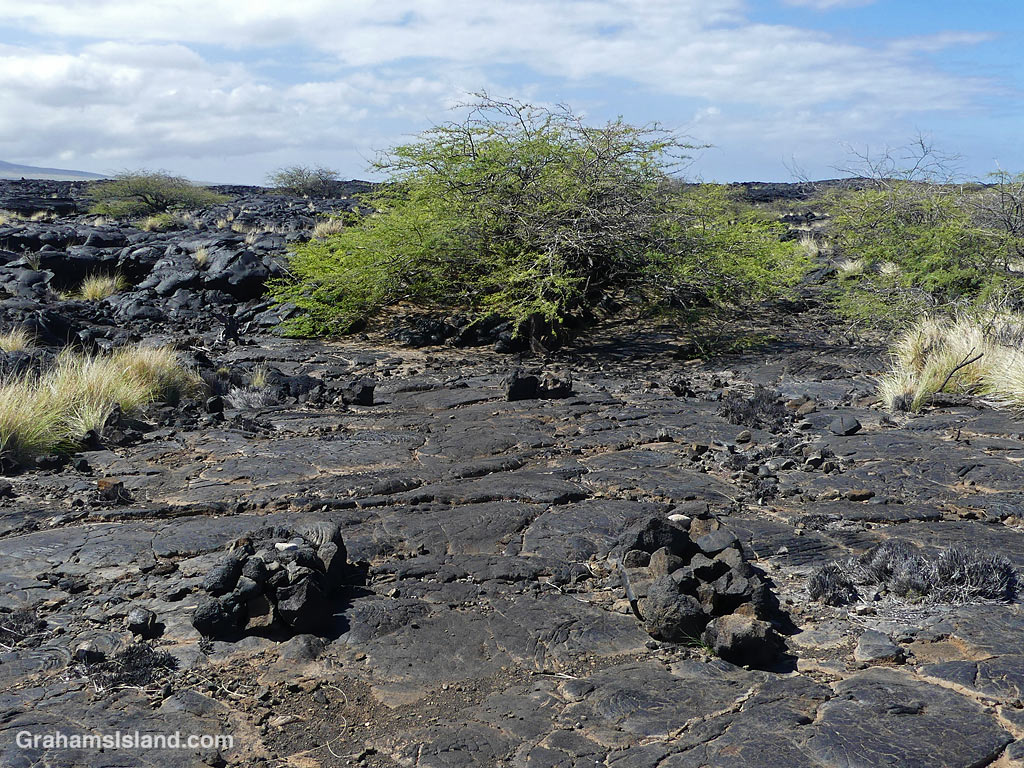
The trail starts out clearly marked and very straight, with goats your most likely companion. But after half a mile or so a tree marks the end of this stretch and the way forward is erratically marked by cairns. I did this hike several years ago without a problem, but this time I couldn’t remember which way to go. There was a cairn up to the left and another up to the right. The one on the right was the bigger one so I figured that was the one to go for. Size matters, right? But when I reached it, I couldn’t make out where the next one was. A smart person would have backtracked to the tree and followed the other option. I chose to carry on. It’s not like I was going to get lost. To my right was the coast and to the left the highway with little more than a mile between the two at the widest spot. However, hiking across lava fields is tricky. Lava tubes can be a matter of inches below the surface and collapsed tubes can have cliff-like walls. A wrong step could pose a challenge for search and rescue!
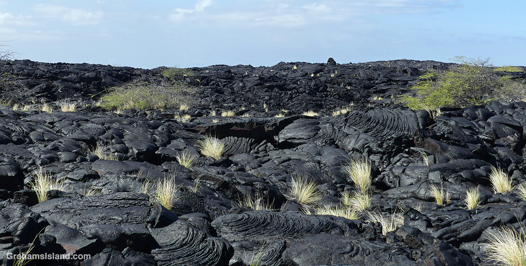
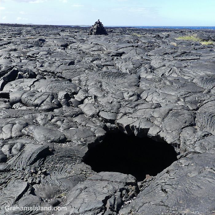
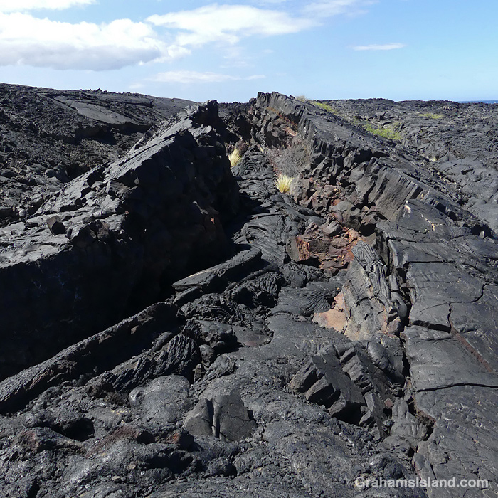
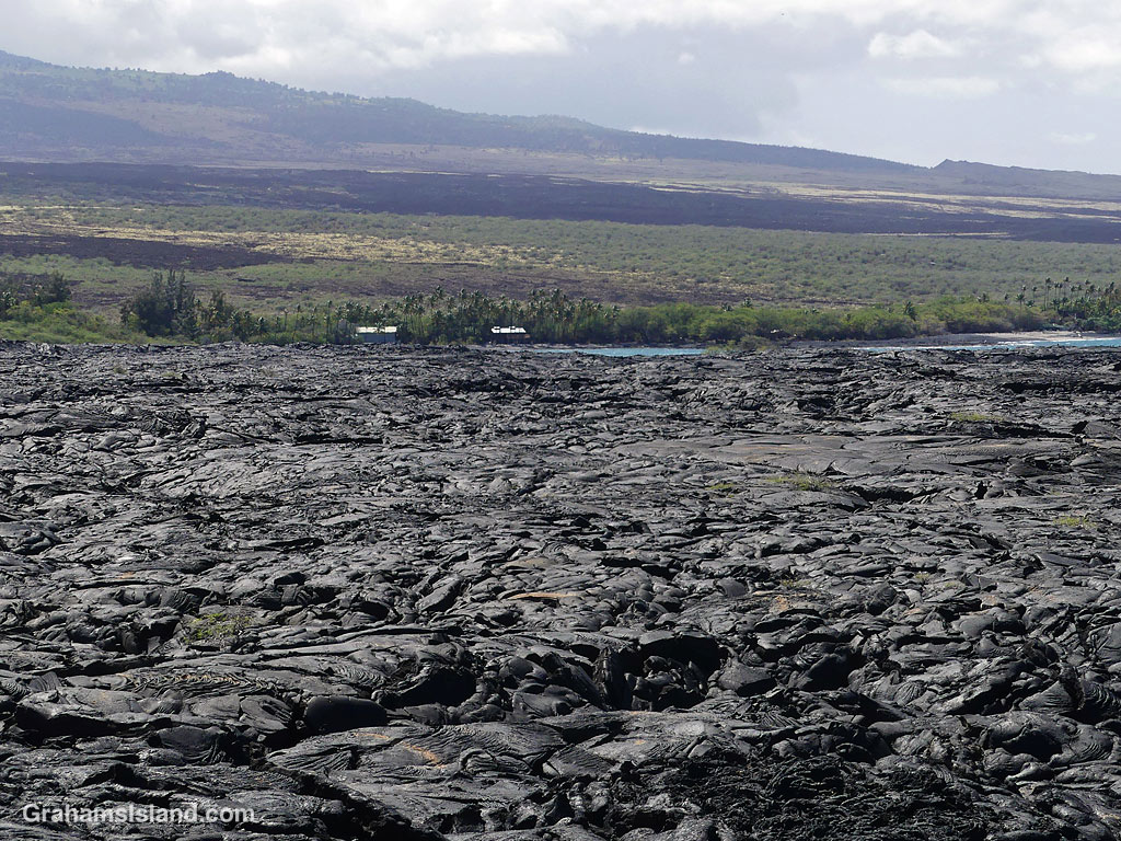
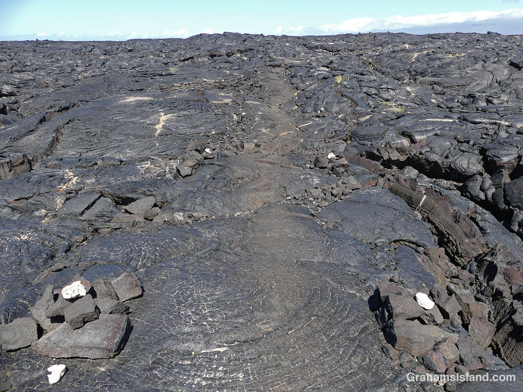
The landscape is stark, crossing the 1859 lava flow from Mauna Loa, the most recent flow in this direction from the volcano. Eventually, I saw houses at Kiholo ahead and figured out I was too far makai (towards the ocean) so I cut inland and found the trail again, marked by lumps of white of bleached coral and a slightly worn look.
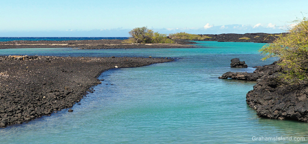
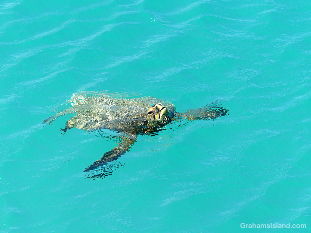
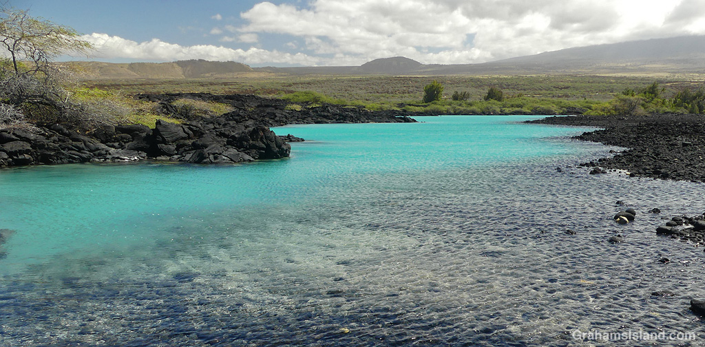
There’s a park, with limited facilities, at Kiholo, but the trail I took turned back north near the mouth of Kiholo lagoon. The lagoon was once part of a huge fishpond built by King Kamehameha I in 1810, but the 1859 flow wiped it out. The lagoon has a wonderful color and is a great spot to see turtles both in and out of the water, but give them plenty of space. It’s also good place for a swim, but not for snorkeling because freshwater intrusion makes for poor visibility.
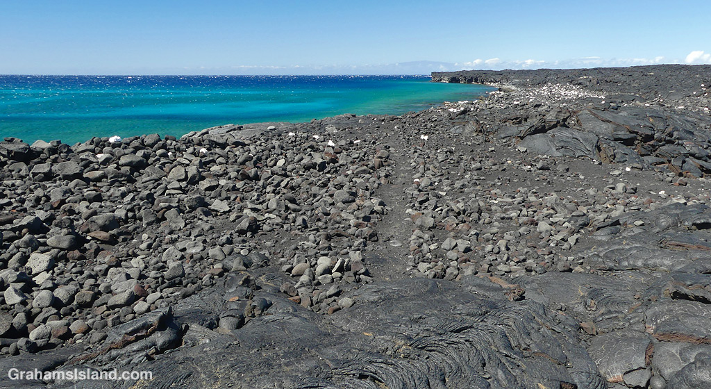
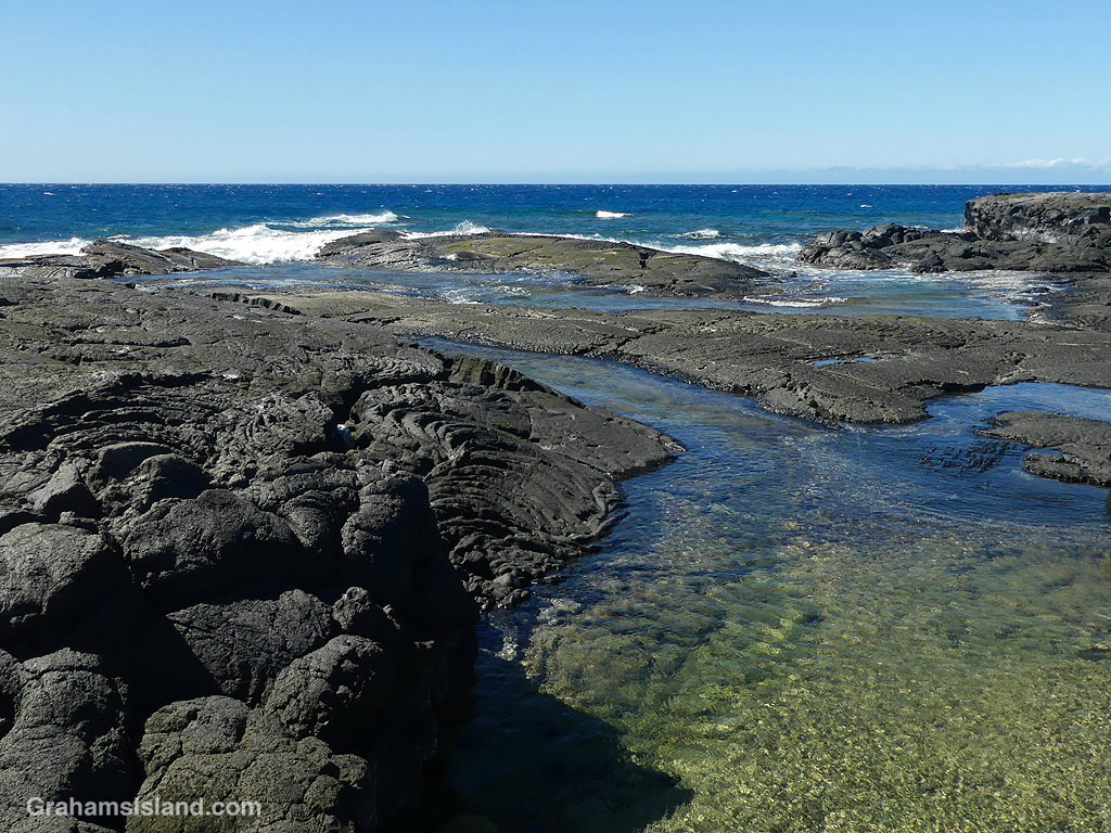
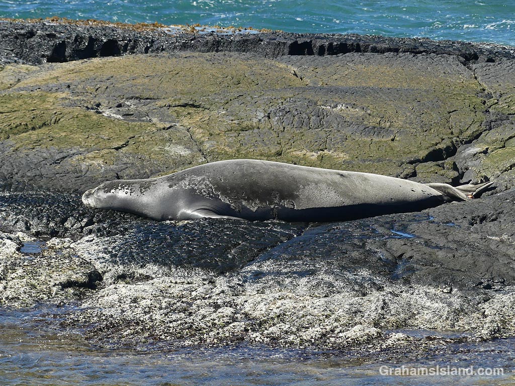
At the head of the lagoon, the trail mostly follows the coast north. It’s a bit easier to follow than the Ala Kahakai Trail, but one still has to pay attention. I came to one spot where the coast was lower with little rounds of pahoehoe lava surrounded by water. Out near the waves, I saw what I first thought was another lump of lava, but then wondered if it was perhaps a monk seal. I decided to walk down and sure enough it turned out to be a resting monk seal in what I thought was an excellent spot for it: Easy access and very little chance of being disturbed. After I got home, I reported the sighting and learned that the seal was likely RA20. She’s a monk seal that I’ve seen several times before, twice at Kekaha Kai Park with new pups, and also at Upolu. It was good to see that she was in great shape and looked like she had recently molted.
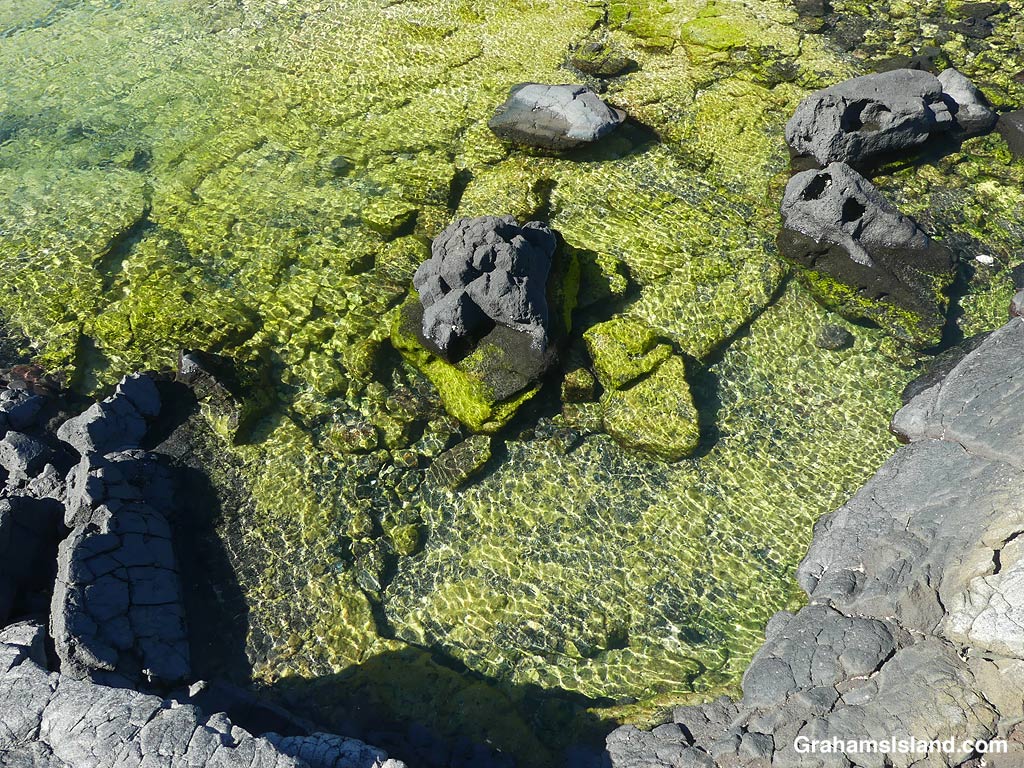
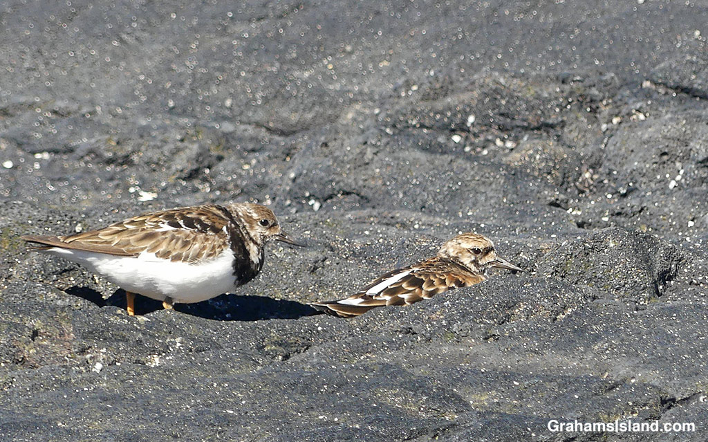
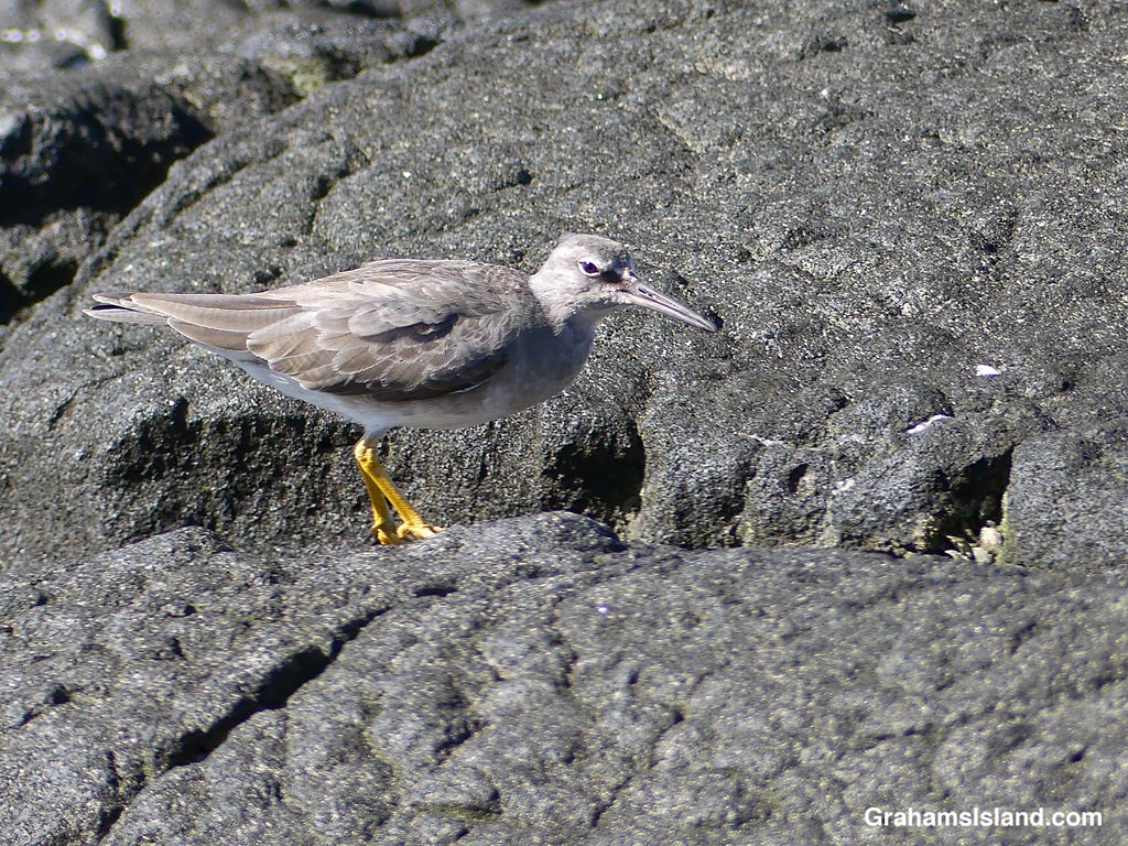
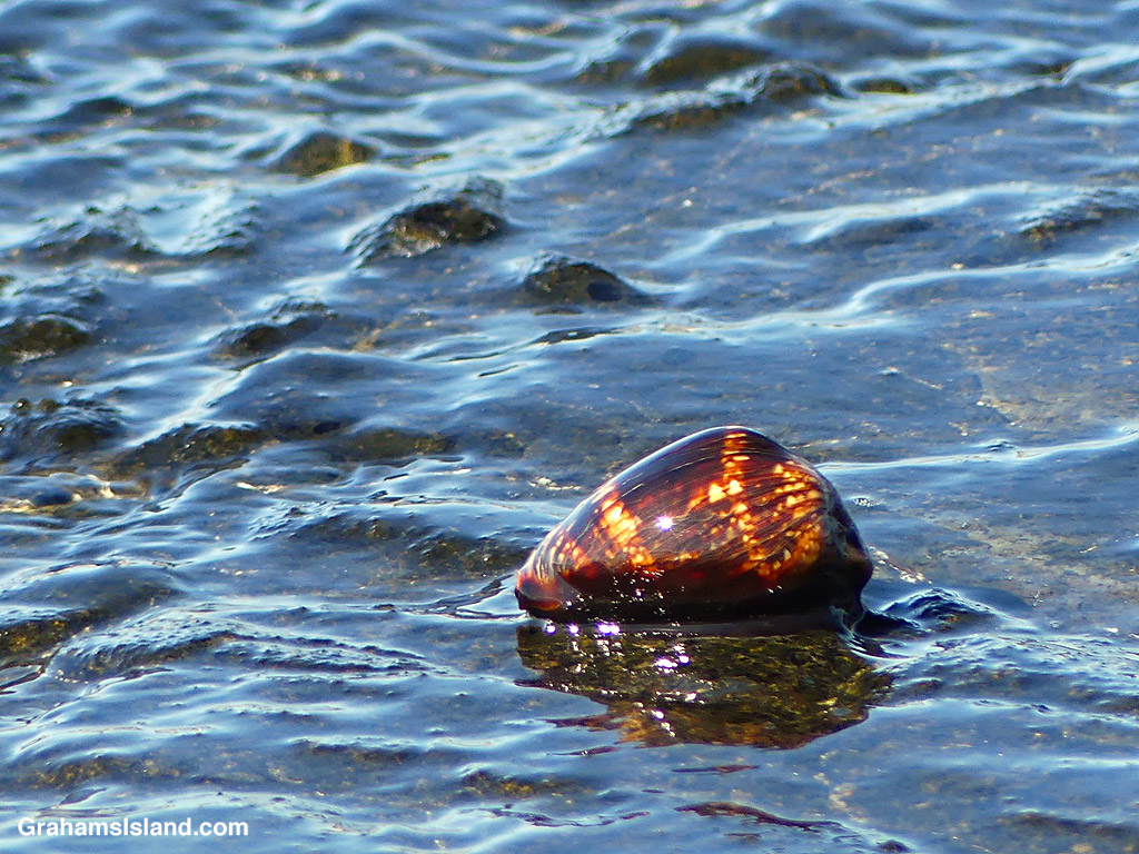
A little farther north, the coast opens to some beaches and an array of tide pools that can be quite colorful. There’s more birds here, feeding or bathing in the pools, and I even saw a Humpback Cowrie getting washed by the waves.
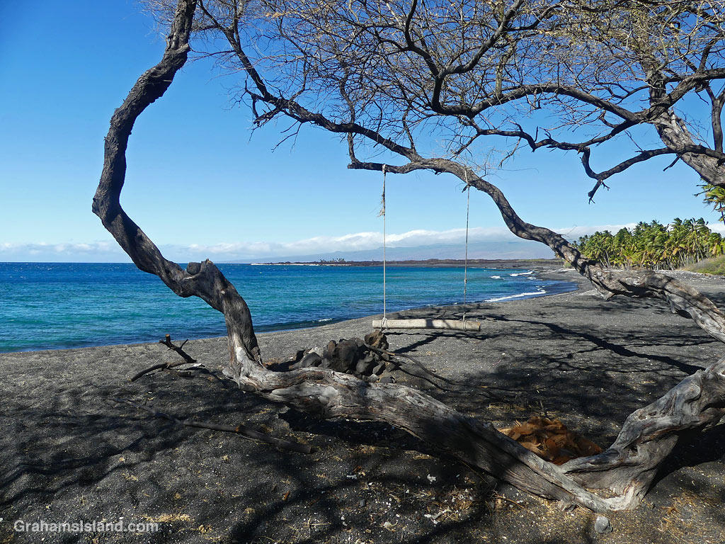
Finally, Keawaiki came into view. At the southern end, some scrubby trees provided shade and a swing, though I didn’t try it since it was only about six inches off the ground. Beyond that is the private Brown Estate, surrounded by palms and fencing, and then Keawaiki beach and a short walk back to the car.
Posted for Jo’s Monday Walk. See more responses here.

The idea of The Numbers Game is to enter a number into the search bar of your computer and then post a selection of the photos that turn up. This week’s number is 749. Captions are on the photos. You can see more responses here.




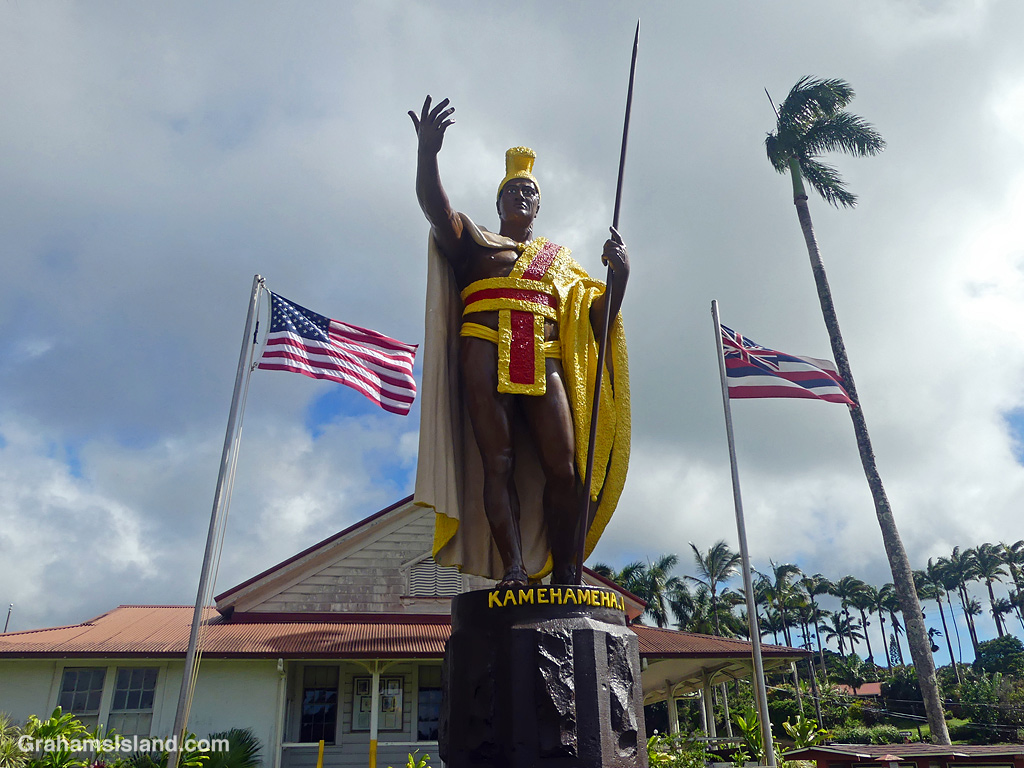
This week’s Sunday Stills color challenge theme is ‘Red, White, & Blue.’ See more responses here.
Yesterday marked the 250th anniversary of Declaration of Independence on July 4, 1776, establishing the United States of America. This photo encompasses some of how Hawaii came to be part of this nation.
The statue is of King Kamehameha 1. He was born in Kohala and was the Aliʻi (chief) who, in 1795, united all the Hawaiian islands under one ruler. This rule, under him and his successors, lasted until 1893. It was overthrown in a coup by the ‘Committee of Safety,’ who were mostly of U.S. descent, and supported by the U.S. military. The Committee declared a Republic of Hawaii with the intent of having the U.S. taking over, which it duly did in 1898. It remained a territory of the U.S. until August 21, 1959 when it became the 50th state.
The flag on the left is the USA’s stars and stripes. On the right is Hawaii’s state flag, featuring the British Union Jack in the top corner. That’s there because of the British influence with the Hawaiian royalty. This dates back to Captain James Cook, who was the first European to make contact with the Hawaiians. Subsequently, British advisors and support helped the Hawaiian Kingdom come about and survive. There’s a story that in 1812, when the U.S. and Britain were at war, King Kamehameha designed this flag with elements of both nations’ flags, so as not to offend either. Alas, there’s no evidence for this assertion!
So how do Hawaiians feel about celebrating July 4th? Well, I’m not Hawaiian, but any day that’s a public holiday is welcomed, and any excuse to set off fireworks is popular too, though it was surprisingly quiet here last night! I know some Hawaiians who served in the U.S. military who are proud of being part of the U.S.. I also know there are others who want to see Hawaii restored as an independent nation. No doubt, there are many in between. However, I don’t expect to see the return of the Hawaiian Kingdom any time soon.
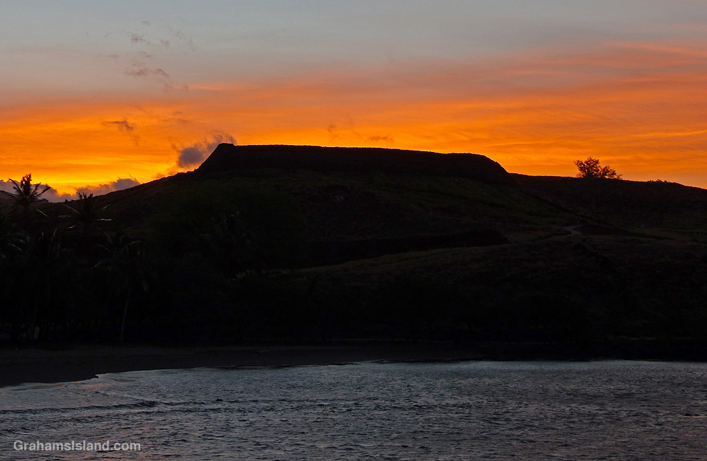
Sunrise at Pu’ukoholā Heiau in Kawaihae.
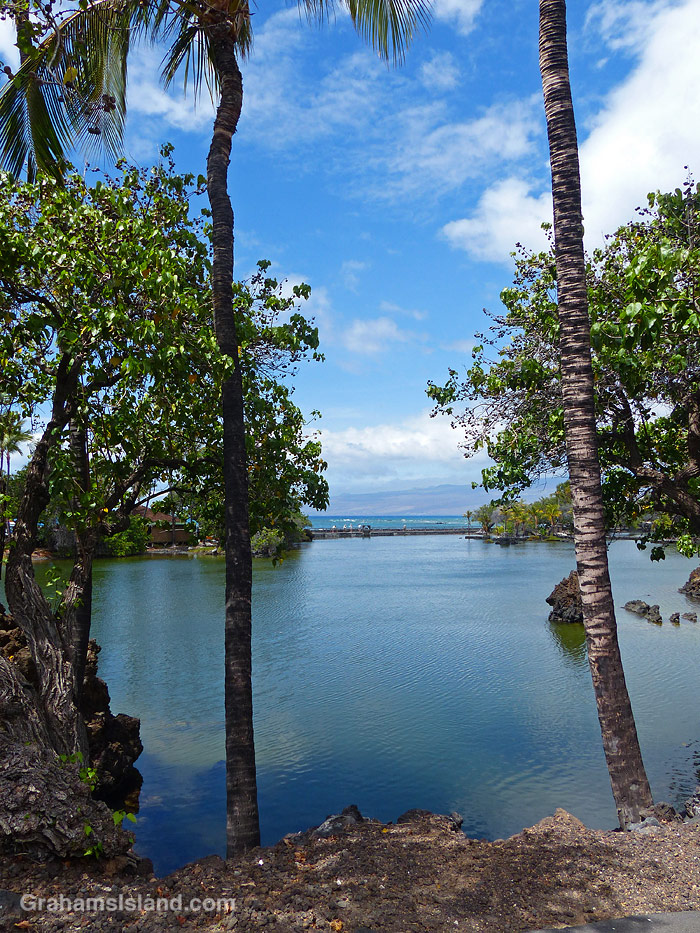
Lahuipua’a Fishpond is the largest of several fishponds in Kalāhuipua’a Historical Park, on the grounds of Mauna Lani Resort. These ponds were where fish were raised for feeding the Hawaiian ali’i (royalty). The ponds are still used for raising fish in the traditional manner.
The idea of The Numbers Game is to enter a number into the search bar of your computer and then post a selection of the photos that turn up. This week’s number is 244. Captions are on the photos. You can see more responses here.