Once upon a time, I used to know the International Regulations for Preventing Collisions at Sea, also known as the rules of the road for shipping. Like those for automobiles, the rules are designed to keep traffic flowing safely. They govern such things as which vessel has the right of way, what sounds signals they should make, and what lights they should show.
Most of that knowledge has faded from my memory, like a ship into a fog bank, but every so often something brings bits back into view. These photos illustrate one such event.
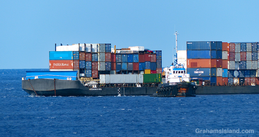
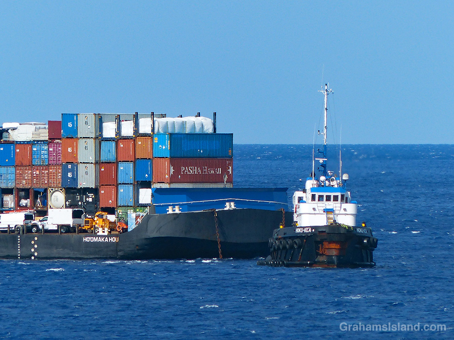
At night, ships and small boats display lights, the idea being that people on other vessels will be able to identify those lights, interpret what they’re looking at, and avoid running into them. In the top photo, the red lights on the tug and barge indicate that’s the port (left) side of the vessel. In the second photo, the green light indicates that’s the starboard (right) side of the vessel. Seeing these lights and how they move in relation to your own position gives a good indication of how close the other vessel will pass. For example, is you can see both the red and green lights, that means the vessels is coming directly towards you and the likelihood of a collision is high. In this case one or both vessels should change course.
As an aside here, I was on the bridge of an oil tanker in the Strait of Malacca, near Singapore, when a ship traveling in the opposite direction suddenly turned 90°, heading directly across our path. This occurred during the day, so the correct action for our ship was to sound the horn for five short blasts, which is the nautical way of expressing ‘What the *&%# are you doing?’ The officer on the bridge duly pounded the horn button to send this message, except that after three short blasts it wheezed into silence (it was an older ship). Three short blasts mean ‘my engines are going astern,’ which was the exact opposite of what was actually going on. About three seconds later, the captain shot through the door and wanted to know why the hell we were going in reverse. We all lived through the experience, but I’m never surprised when ships collide or run aground; there are a lot of factors involved.
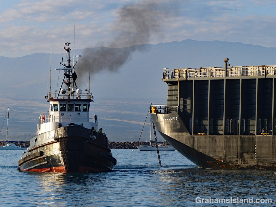
Back to the photos and what prompted this post. On the tug’s mast are three white lights. That means it’s a power-driven vessel engaged in towing – it’s a tug after all – but, and I remembered this, the three lights mean the length of the tow is greater than 200 meters. Granted, in the photo, the length of the tow is less than 200 meters, but that’s because they’re arriving in port and the barge has, deliberately, been allowed to ease up close to the tug, prior to maneuvering it alongside the jetty.
Having unburdened myself, I can now slip the lines on that pearl of nautical wisdom and let it drift back out into the gigantic, floating garbage patch that is my memory.
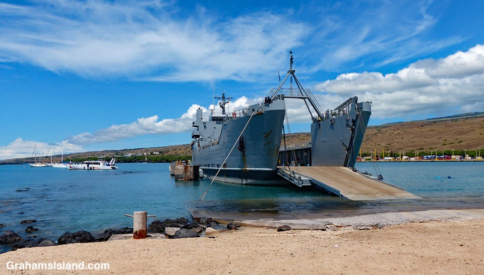
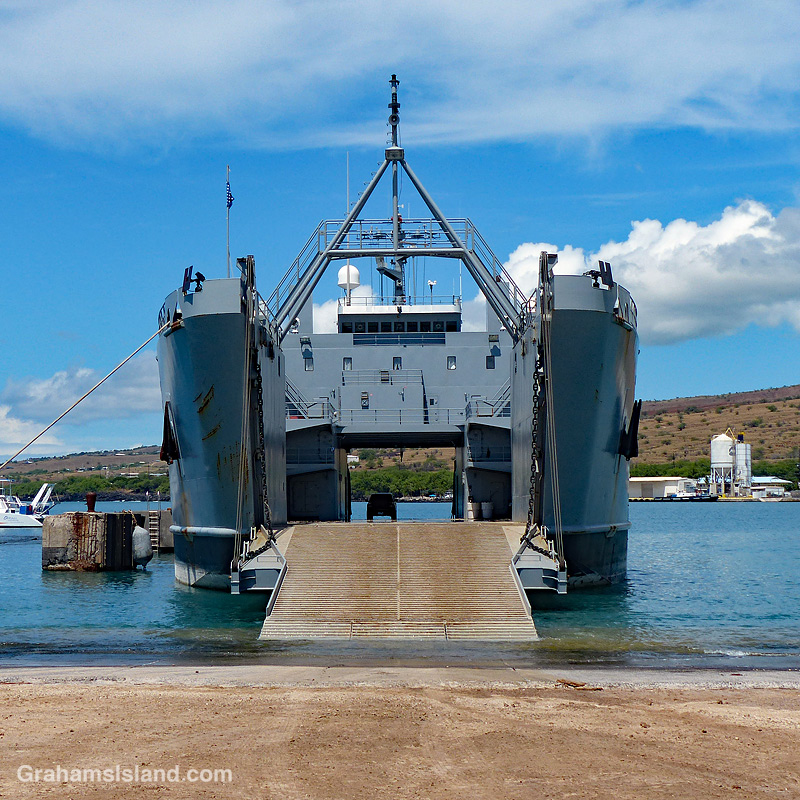 This is the ship that brings military troops and supplies from Oahu to Kawaihae Harbor en route to Pōhakuloa Training Area (PTA). I often see the ship going back and forth off the Big Island and had always assumed it to be a Navy vessel because, well, it’s a ship. But no, this is an Army LSV (Landing Ship, Vehicle) where they drop the ramp and roll the vehicles on or off.
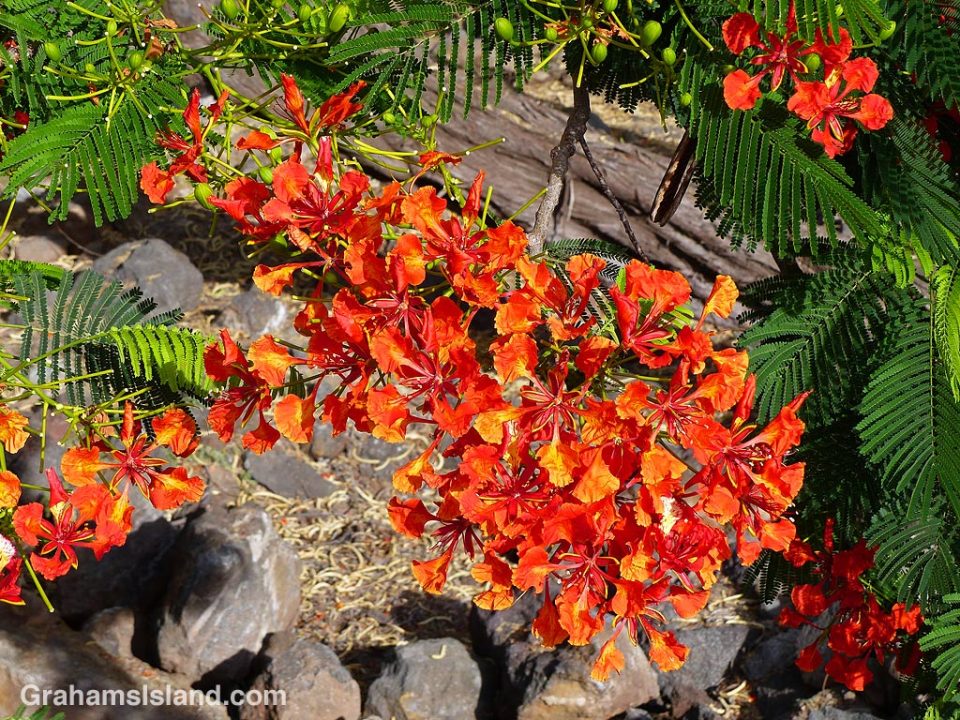
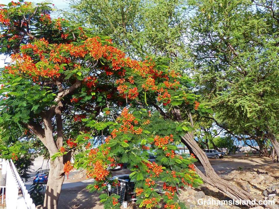
 Royal poinciana (Delonix regia) is also known as the flame tree. As well as producing a stunning array of crimson flowers, it has lacy-looking leaves and produces long, distinctive seed pods.
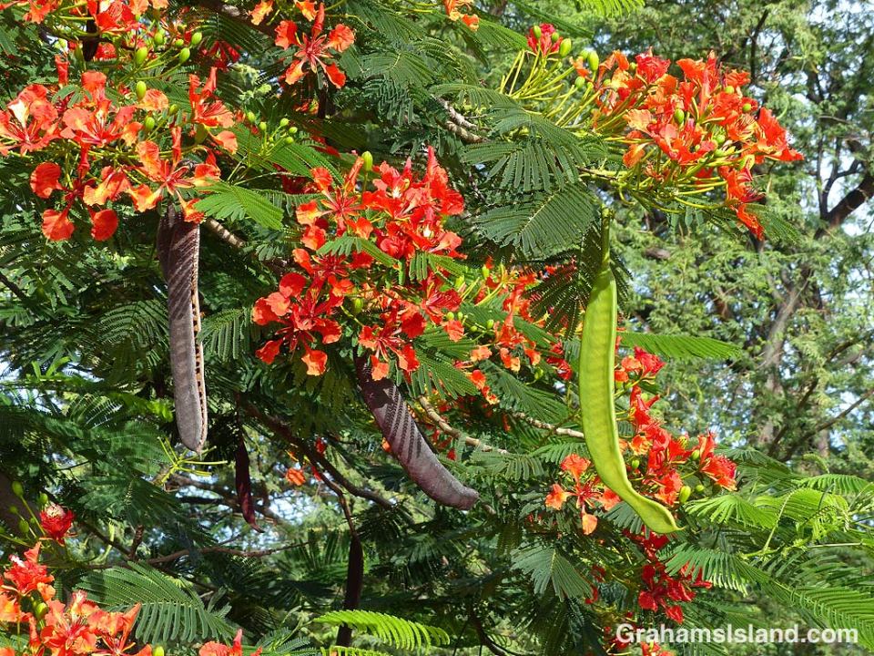


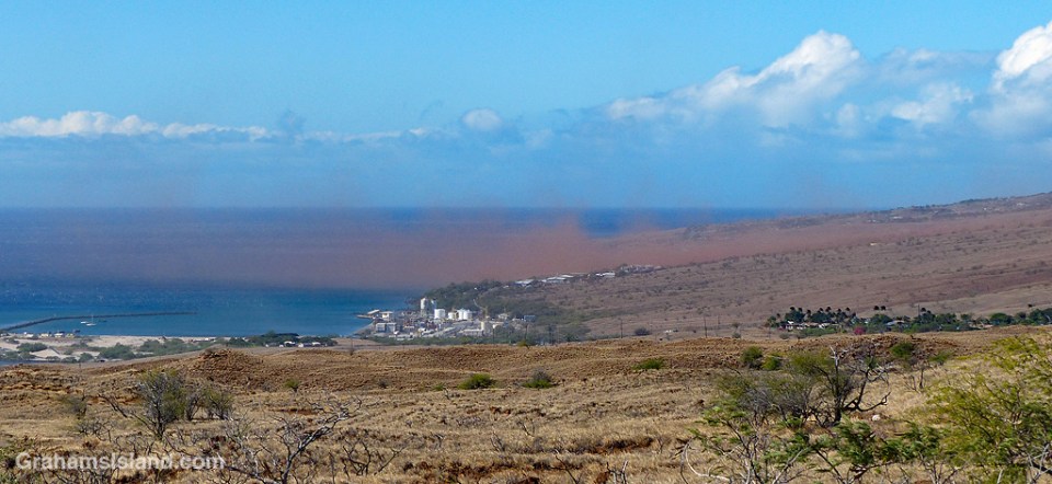
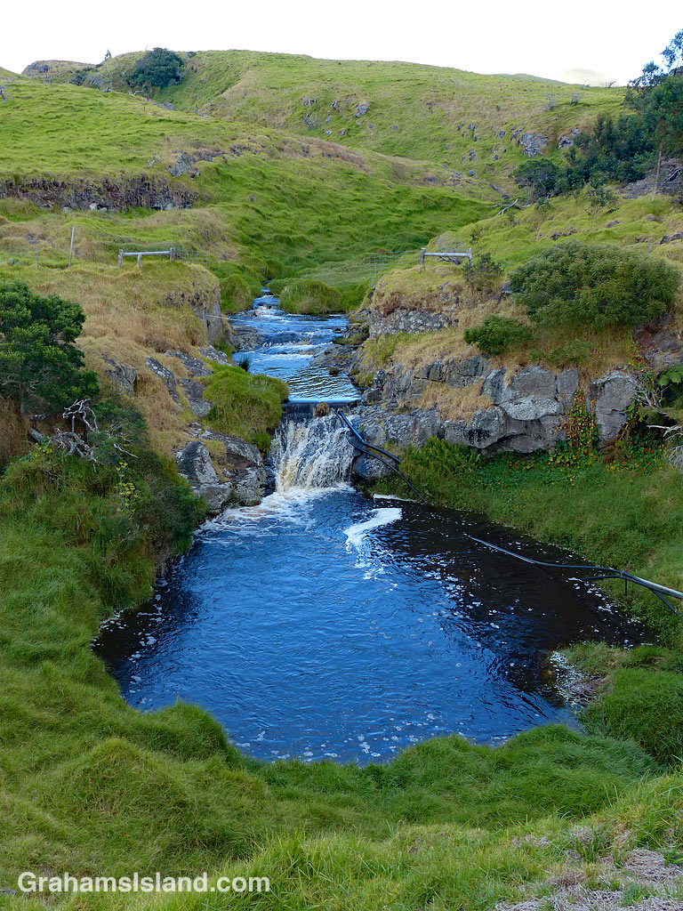 The Kohala Mountain Road passes over the dry southwest side of Kohala Mountain. There are several streams running down the side of the mountain toward Kawaihae and the Kohala Coast and they can run anything from dry to flash flood. It all depends on the rain.
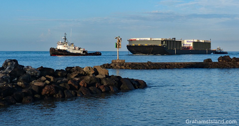
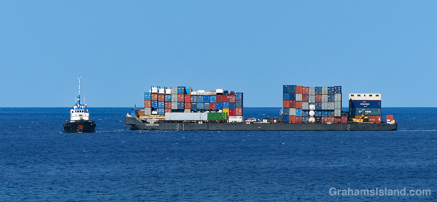
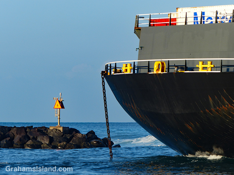 One of the inter-island barges enters Kawaihae harbor on a calm, clear morning. The barges are a prime method for moving freight between the islands, with Honolulu being the hub of all the operations.