Category Archives: Scenes

Mauna Kea telescopes at sunset

This week’s Friendly Friday challenge theme is ‘Remote.’ (See more responses here.)

I’m going for this photo for three reasons. First, Hawaii itself is remote at more than 2,200 miles from the nearest major landmass. The closest U.S. state is actually Alaska, though California is the closest state to the Big Island.

Secondly, Mauna Kea is one of the more remote spots on the island, particularly these days. Protests over building a new telescope on Mauna Kea have resulted in the road up the volcano being closed for some weeks now with no end to the dispute in sight. So if a person wants to go to the top, a long and arduous hike is the only way.

Thirdly, the telescopes on the summit are there to explore the farthest reaches of the universe, and you can’t get more remote than that.
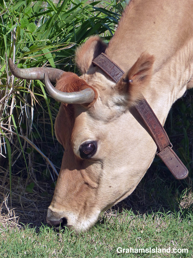
Cow on the road

Upolu is home the last dairy on the Big Island. It has a large herd of cows, mostly black and white holsteins, but with a few other kinds mixed in. However, this cow is a little different. It’s the only one I’ve seen with a collar or horns.

I get the impression this is somewhat of the dairy’s pet, which is allowed to wander. And lately, it’s been wandering on the road. When I drive by it looks up and then continues munching grass, which grows well by the road.

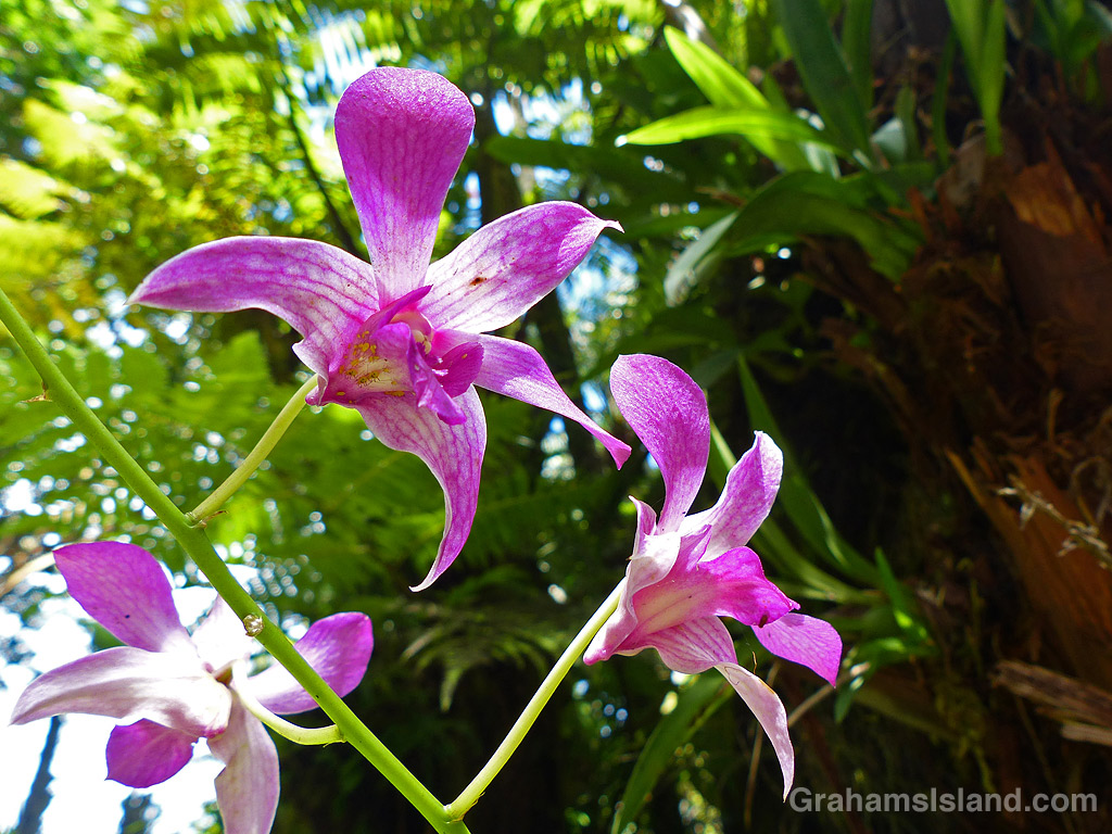
Dendrobium Jacquelyn Thomas orchid

Dendrobium Jacquelyn Thomas is a hybrid orchid. I’ve seen descriptions that date it to the 1970s and others that go back to 1949. Either way, it is a popular orchid with long lasting flowers.

This one was at Hawaii Tropical Botanical Garden. For more information about Hawaii Tropical Botanical Garden, go to htbg.com.

Fissure 8

This time last year, the newest eruption of Kilauea Volcano was still going strong in the Puna district of the Big Island. The previously active vents, in Halemaumau Crater and at Pu’u O’o, drained of lava at the end of April. Lava then moved underground, down the east rift zone, toward the southeast tip of the island. It resurfaced in May in Leilani Estates.

By the end of May, 24 fissures had discharged lava. Two of those sent flows down to the coast, but at the end of May the main eruption settled on Fissure 8. A river of lava flowed northeast, inundating Highway 132 and reaching the ocean at Kapoho Bay in early June. This flow continued into August, but by the end of that month all activity had more or less ceased. In all, more than 700 homes were destroyed during the eruption, but more than 800 acres of new land had been formed.

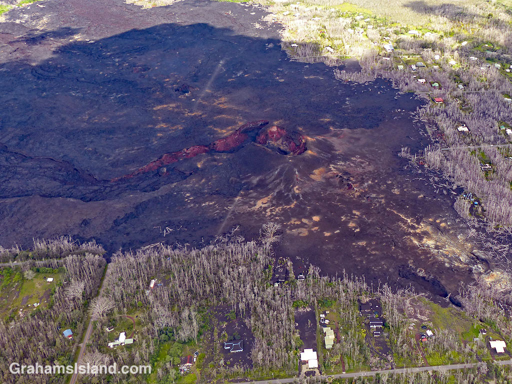
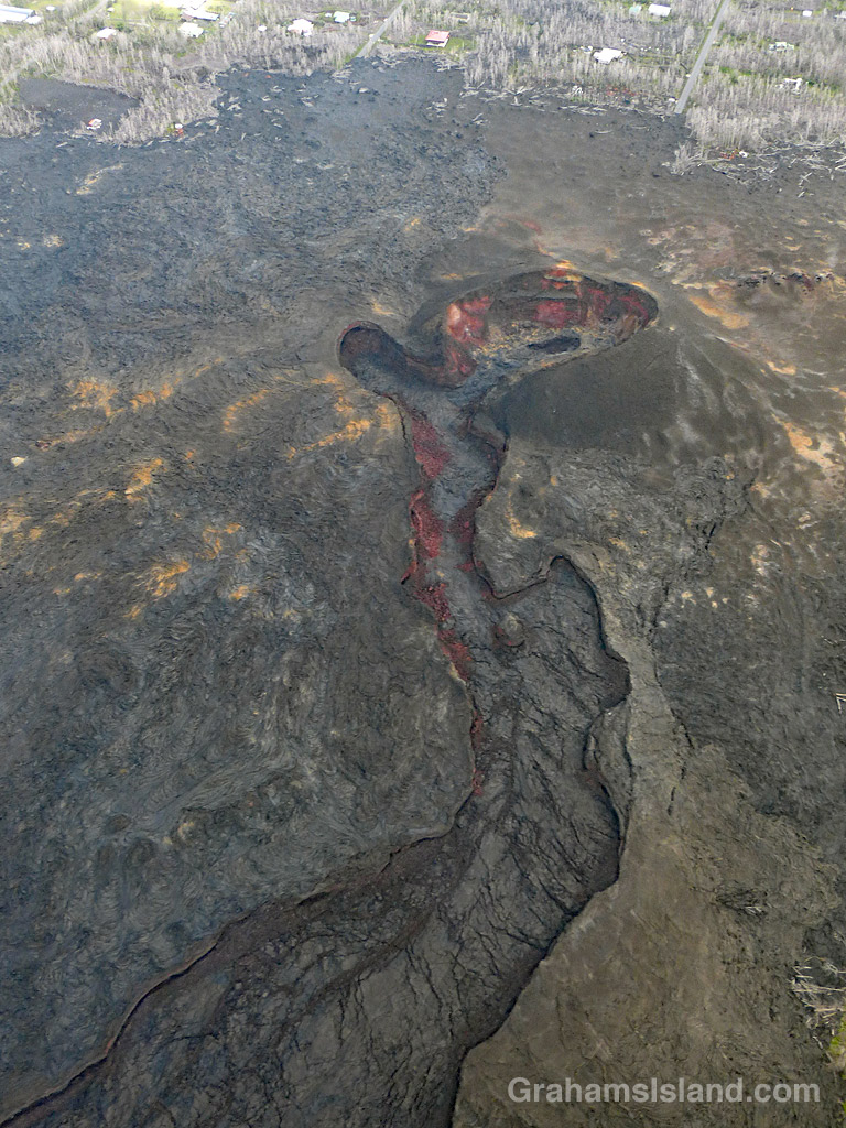
These photos show Fissure 8, the source of the main flow. The top photo shows Fissure 8’s location, bordered by houses in Leilani Estates that escaped destruction during the eruption. In the middle, the main crater and the ‘canal’ that channeled the flow toward the coast. Below, another view of Fissure 8 and the wasteland of destruction surrounding it.

PBS’s NOVA put out a show about the eruption earlier this year with some great information about what was actually going on during the eruption. It might be accessible on their site, PBS.org, or search online for the title of the show: PBS Nova Kīlauea: Hawaiʻi on Fire.

Fishing poles

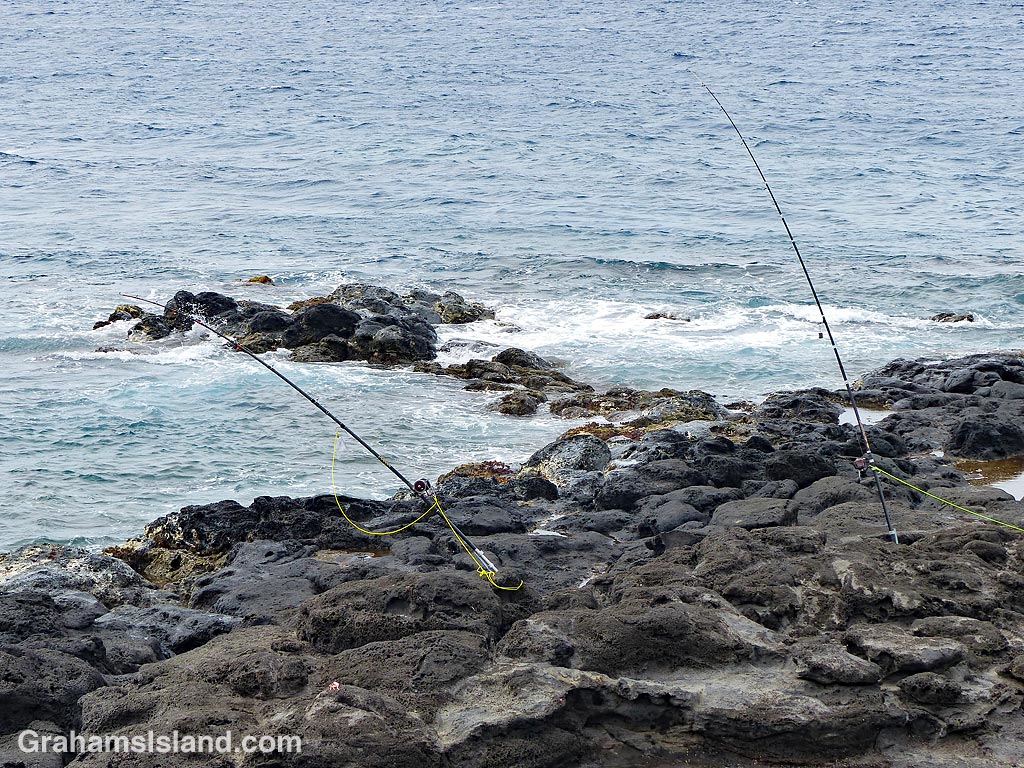
These fishing poles were two of many set up along the North Kohala coast for a fishing tournament. Typically, fishing poles are set into a piece of pipe lodged or cemented into the rocks. They’re anchored on something solid so that they can’t be yanked out – the yellow lines in these photos. Often a bell is attached to a pole so that when something strikes the fisherman is alerted, since they’re not usually tending the poles, but hanging out nearby, often nursing a beer.