Looking like a giant eyeball, I saw this ball valve on some equipment in Kawaihae Harbor.

Looking like a giant eyeball, I saw this ball valve on some equipment in Kawaihae Harbor.
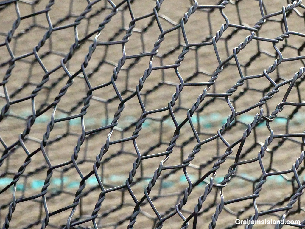
There was some sort of marine object, a buoy possibly, hauled out on the beach in Kawaihae Harbor. I couldn’t really get a decent photo of the object, but I liked the look of this wire fencing material that was associated with the project.

In the early morning, on the waters off Kawaihae, some outrigger canoe paddlers train for a future race while cattle egrets head in the opposite direction to find their cattle.

A small boat leaves Kawaihae Small Boat Harbor early in the morning. It was likely headed out on a fishing expedition. I don’t know how they fared, but it was a fine start to the day regardless.

An early morning scene at Spencer Beach Park near Kawaihae.

Mongoose are everywhere including at the beach. This one was scurrying across the sand at Pelekane Beach, Kawaihae.

There’s still a bit of snow on top of both Mauna Loa and Mauna Kea. Every time it looks like it’s going to disappear, a new dusting bolsters the coverage.
This view is from Kohala Mountain Road. The dark strip snaking through the center of the photo is housing alongside Kawaihae Road, which goes down to the coast. These houses are part of the town of Waimea, which sits in the saddle between Mauna Kea and Kohala Mountain. This part of Waimea is known as the dryside because it receives significantly less rainfall than areas on the east side of the saddle, which is known, correctly, as the wetside.

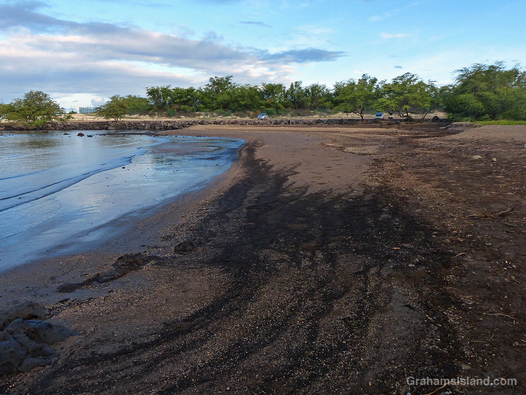
I’ve posted a fair number of photos taken on early morning walks in the vicinity of Pelekane Beach, between Kawaihae harbor and Puʻukoholā Heiau National Historic Site. During the winter months, I haven’t stopped there because it’s still dark when I go by, but recently I had an opportunity to visit in the now lighter early morning.
I parked my car in my usual spot and was about to get out and walk along the beach when I realized that there was no beach. Where I usually walked was now water. I got out and saw that the lagoon behind the beach now extended into the back of the beach. Not only that, but the beach was radically different. Instead on being gently sloping sand it was now marked with steep slopes and small sandy cliffs.
I think the dramatic changes are probably due to the storms and downpours that pounded the area this past winter. The good news is that it’s still a great spot for an early morning walk!