Tag Archives: Kiholo

Bali House at Kiholo Bay

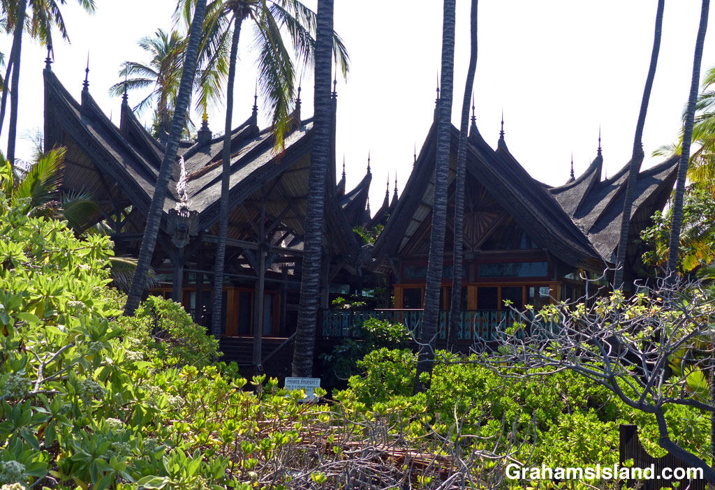
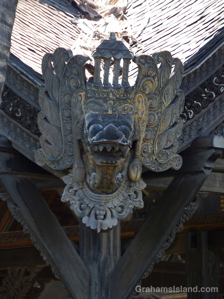
The Bali House at Kiholo Bay on the Big Island of Hawaii.A carving on the Bali House at Kiholo Bay on the Big Island of Hawaii.
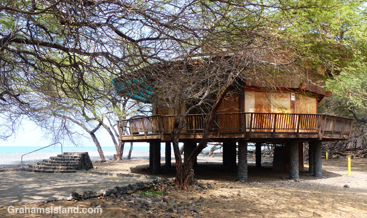
A good deal of the shoreline at Kiholo Bay is public land, but there is one short stretch that is privately-owned. Not surprisingly, these rare waterfront parcels are owned by the very wealthy. One such is a large, sprawling yellow estate just back from the beach, owned by the inventor of the pacemaker. A bit farther down the beach is this property, known to most people here as the Bali House.

The property is owned by John Paul DeJoria, co-founder of the Paul Mitchell line of hair products and The Patrón Spirits Company. DeJoria had traveled in Bali and loved the architecture, so he had this house hand-built in Bali. The house was then disassembled, shipped to the Big Island, and reassembled on this property. The whole process took around six years and when they were done, it started to shrink. Turns out the Balinese carpenters had used green logs from the Borneo forest and in less-humid Hawaii, the wood shrank and split.

Apart from it’s striking appearance, what I find notable about the house is how it’s set back from the beach and surrounded by greenery. The view of the ocean is almost what realtors call peek-a-boo. The house is also self-sustaining, relying on solar power and rainwater collection. This is most admirable, but I suspect I’d still prefer the caretaker’s cottage.

Green Darner dragonflies mating

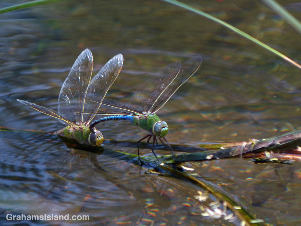
Green darner dragonflies mating at Kiholo on the Big Island of Hawaii.
The headline pretty much says it all. I saw these green darner dragonflies at the anchialine pond at the south end of Kiholo park. Anchialine ponds are landlocked, but connected to the ocean underground. They contain a mix of fresh and saltwater. The air above the pond was thick with dragonflies so I’m keen to return and spend more time there.

Kiholo to Mano Point hike

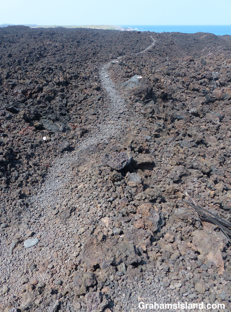
The start of the trail to Mano Point

The start of the trail below the parking area at Kiholo.
The house built for Loretta Lynn at Kiholo.
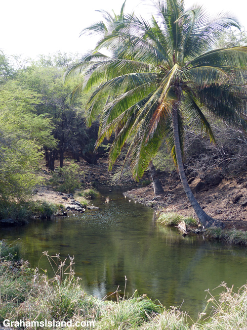
The house built for Loretta Lynn at Kiholo.

The anchialine pool at Kiholo

The anchialine pool at the south end of the first beach.
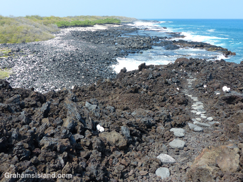
The lava bench before Mano Point

The trail winds down to the bench before Mano Point.

This hike is a not-too difficult, out and back, 4-mile round trip. Aside from wanting to check out this part of the coast, I also wanted to try out a new pair of shoes, more suited to hiking, rather than the old pair of walking shoes I’d been flogging my toes in recently.

The access road to the trailhead can be rough, but on this occasion had been recently graded, at least down to the private road near the bottom. The hike follows the coast south from the Kiholo parking lot. There’s camping here Friday through Sunday, but on this day it was much quieter – three people on the beach when I set out, not many more when I returned. The day was hot, as it usually is on this coast, and the vog was thick enough to chew on.

The hike starts out crossing the first of three black sand beaches. It’s part of Kiholo State Park Reserve, which means it’s a park for which the plans have not yet been finalized. Behind this first beach is a house built by country singer Loretta Lynn back in the 1980s. It’s boarded up now, but is tabbed to be some sort of visitor/cultural center in the new park. Check back in 10 years or so to see how things are going!

At the south end of the beach is an anchialine pool. After the pool, the trail winds up and over a’a lava to another smaller black sand beach. There’s another up and over to the third beach, Luahinewai, which is backed by a large private residence, overlooking another anchialine pool and surrounded by vegetation. The second and third beaches were deserted, the a’a lava lumpy, the new shoes doing a splendid job of cushioning my feet.

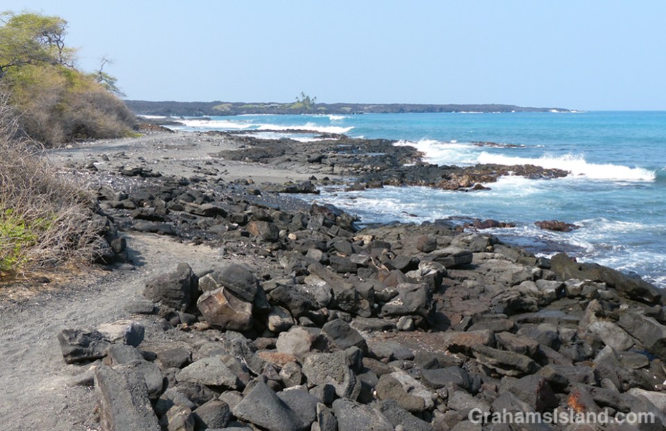
After this third beach the trail heads up onto the lava for a while and crosses inland from Nawaikulua Point until it reaches a lava bench backed by vegetation. The trail, which is marked by some rounded stones in the trail and white coral markers on the edges, ends here. Mano Point is reached by crossing the lava bench, which is not difficult but, as always, requires keeping an eye on the ocean. On this day the waves were thudding against the edge of the bench, sending spray into the air and some whitewater onto the bench.

It was a day for keeping toward the back of the bench. A couple of days earlier, when the surf was higher, it would have been a place to avoid altogether. On a calmer day one could walk along the edge of the bench. This is an area of tide pools, arches, and collapsed lava tubes that have become surging inlets.

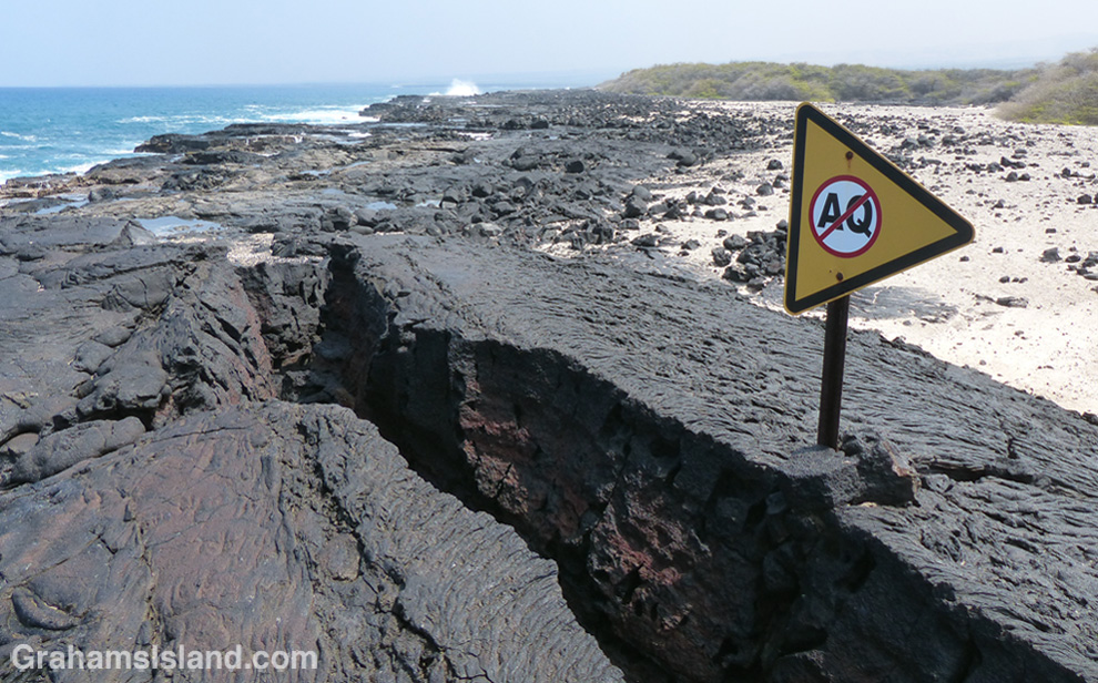
Mano Point itself is not much of a point, but it is easy to identify because it’s where most of the vegetation ends. It’s also marked by a black-bordered, yellow sign (only the back of which is seen from the land), which I think means that no aquarium fish collection (a contentious issue here) is allowed south of the sign. The return is back the same way. I took a dip in the water at one of the beaches on the way back, but the surge was fierce and I ended up discovering black sand in unlikely places for a couple of days afterwards.

It’s not an earth-shaking hike, but enjoyable in its own way. There was a breeze on the coast as there usually is, some whales to be seen offshore, and my new hiking shoes performed admirably. That said, crossing behind the last beach en route to my truck, I felt a pricking in my foot and took off my shoe to find a kiawe thorn that had penetrated the sole. Not the fault of the shoe though, just an occupational hazard of hiking here.

For more information about the Kiholo to Mano Point hike, go to bigislandhikes.com/kiholo-to-mano-point.


The trail from Kiholo to Mano Point

The trail heads across a’a lava after the third beach.
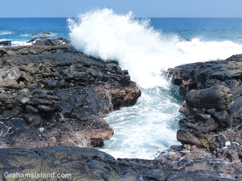
Waves crash ashore near Mano Point

The water surges into a small inlet, probably an old lava tube.
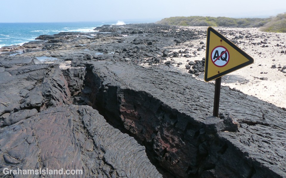
The sign which marks Mano Point

The sign at Mano Point which I think means ‘No Aquarium Fishing.’

Kiholo to Keawaiki hike

Tidepool south of Keawaiki
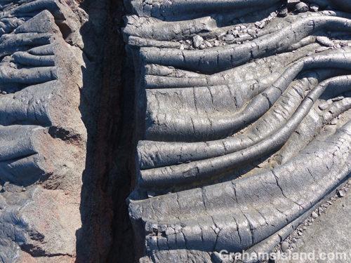
The wrinkles in this pahoehoe lava were torn apart on cooling.
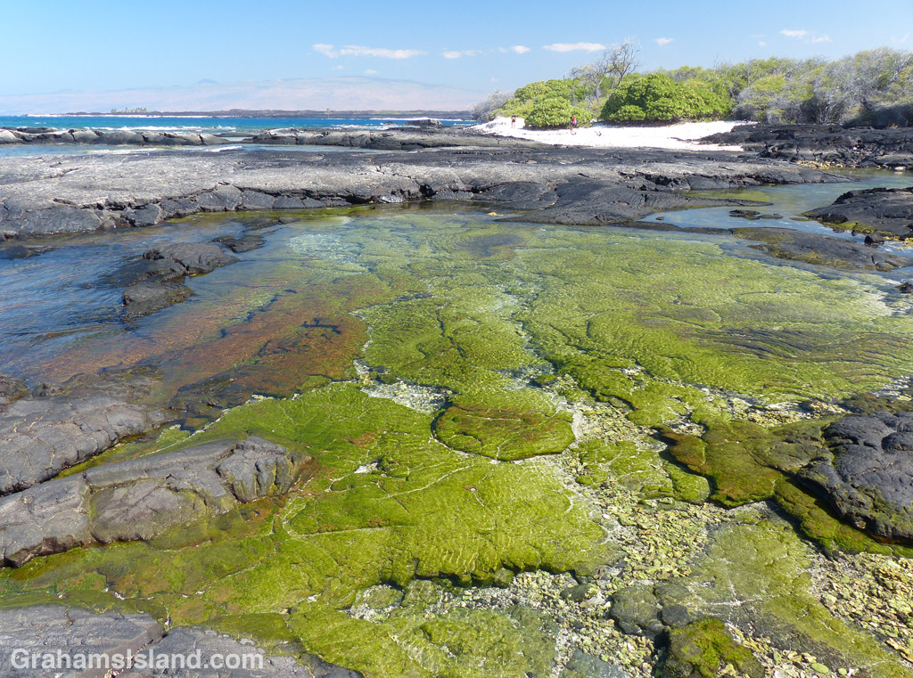
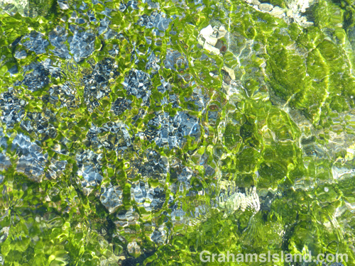
Shimmering tidepool colors.

This is the return leg of the hike in yesterday’s post.

The view toward Keawaiki Bay from the south.
The Brown estate at Keawaiki looks inviting, but the sign says otherwise.

The trail north from Kiholo is a hit and miss affair. Sometimes it’s clear, more often not. But the idea is to follow close to the coast. Think of it as Goldilocks would: If it’s dry, hot and still, you’re probably too far inland. If it’s cooler, but wet, you got too close to the cliff, tumbled into the ocean, and are probably in immediate need of medical attention. If it’s dry, but with a nice cooling breeze, then you’re probably just right.

The trail covers the same pahoehoe lava flow experienced on the way south. Here though, a refreshing breeze and an expanse of ocean views, including a pair of whales blowing and slapping some way off, enhanced the experience.

About half way along the trail is Ohiki Bay, a steep, mostly pebbled beach. A little farther still, some greenery appears, the cliffs dwindle, and the route follows the shore. Low pillows of lava have created inlets and pools, depending on the state of the tide. It was here that I found myself engrossed for the best part of an hour staring into the shallows. Incoming waves wrinkled the surface, highlighting the variety of colors and shapes.

The greenery back from the shore is the Francis H. Ii Brown beach residence. Brown was a well-known Hawaiian golfer and legislator during the 1920s, ’30s, and ’40s who built this compound in the late 1920s. It was added to the National Register of Historic Places in 1986.

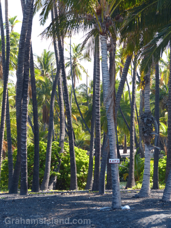
I’ve read that it’s possible to visit the place, being open one day a month, but I’m not sure that’s still true since the contact information on the sign has been erased. The encirclement of barbed wire and liberal use of Kapu signs don’t hint at any kind of welcome. Kapu is a Hawaiian word with several meanings including ‘sacred,’ ‘forbidden,’ and its modern day usage of “no trespassing’ or ‘keep out.’

Immediately past the Brown residence is Keawaiki beach, another steep and mostly pebbled beach, but the trail back to the truck, half a mile inland, follows the barbed wire fence and access road back to the main highway.

In all, the round trip hike was about 7 miles and took 5 hours with a good deal of dallying along the way, but in my book, a most rewarding experience.

For more information about this, and other hikes on the Big Island, go to bigislandhikes.com. (This hike is listed as Kiholo to Keawaiki, starting from the southern end.)

Keawaiki to Kiholo hike

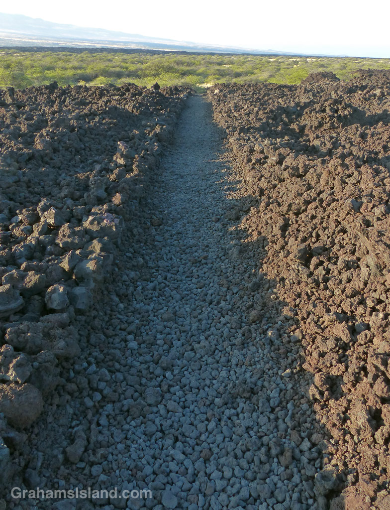
The King's Trail makes a straight shot to the south of Keawaiki.
The King’s Trail makes a straight shot to the south of Keawaiki.
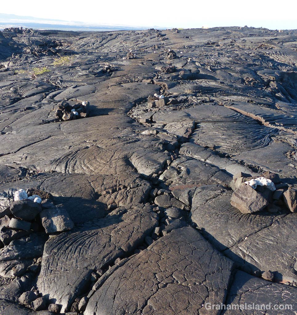
The King's Trail winds over the pahoehoe lava of Mauna Loa's 1859 eruption. The trail is marked by cairns and, in places, the worn surface of the trail stands out from the surrounding lava.
The trail is marked by cairns and, in places, the worn surface stands out from the surrounding lava.
1-6-16-1859-flow-HW
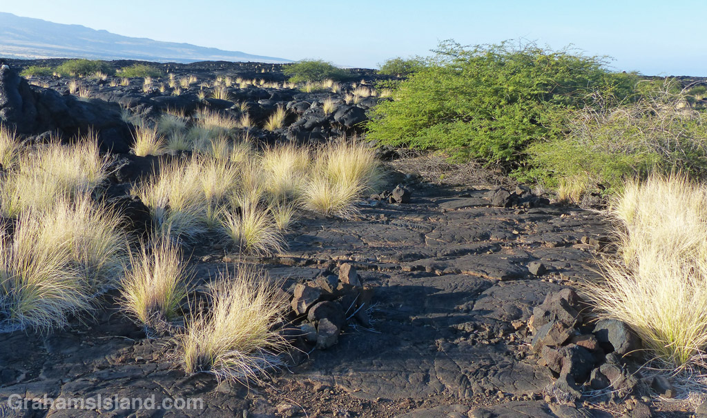
The trail takes a turn.

This hike is the first half of a loop from inland of Keawaiki Bay, south on the old King’s Trail to Kiholo, returning along the coast.

I was on the trail before 8 a.m. because the lava fields become very hot as the day wears on. The trail started out dead straight, with rock wall sides, until it reached a scrubby tree growing in the path. I figured it would pick up again on the other side, but this marked the boundary of the lava flow from Mauna Loa’s 1859 eruption, which destroyed fishponds and a village on the coast near here.

Instead, the trail wound over and around hummocks of pahoehoe lava and the way was marked mostly by cairns. Pahoehoe lava tends to be fairly smooth and rounded and is relatively easy to walk on, but still requires attention. It’s a matter of a moment’s inattention to end up jamming a foot into a crack and turning an ankle or worse. It’s also very easy to spot the next cairn, wander in its direction, then suddenly realize you don’t see any more because the trail has veered off to avoid some hole ahead or take advantage of easier going.

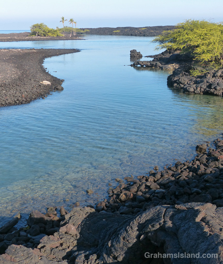
The tranquil waters of Kiholo Bay.

This is a stark landscape, unrelenting lava with occasional shrubs and tufts of fountain grass. But I like the history of the trail, its connection to the early days of Hawaii.

The distance to Kiholo is a little under 3 miles and I was plenty hot by the time I got there. But at Kiholo there’s shade to be found and the opportunity for a swim. I’ve snorkeled at Kiholo before, but it’s not the greatest. Freshwater springs make the water cloudy and cool.

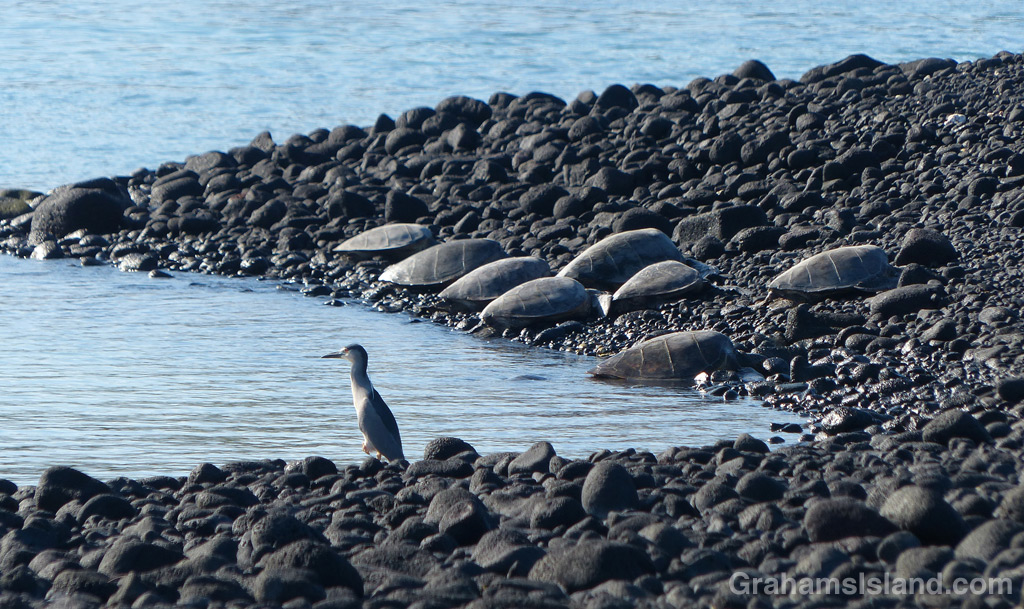
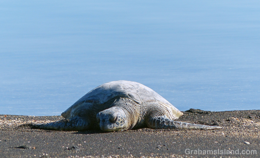
There’s a blue Kiholo Bay Fisheries Management Area sign where the coast trail almost doubles back on the one I’d arrived on. This lightly marked trail winds around a bay rich with wildlife, most notably green sea turtles. Usually they’re hauled out on the spit that forms the outer part of the bay. This day was no exception. A cluster of 8 turtles had lumped ashore near the tip of the spit, watched over by a guardian heron. Others were scattered in ones and twos up the inside of the spit. I hiked down the length of the spit enjoying the welcome sea breeze and taking photos, making sure not to disturb the turtles. Then it was time to head north again. (For the return hike, click here)

For more info about this, and other hikes on the Big Island, go to bigislandhikes.com. (The hike is listed as Kiholo to Keawaiki, starting from the south.)

A heron stands watch while green sea turtles rest on shore at Kiholo Bay,
A heron stands watch while green sea turtles rest on shore at Kiholo Bay.
1-6-16-Green-Turtle-HW
Green sea turtle resting on the shore at Kiholo Bay.