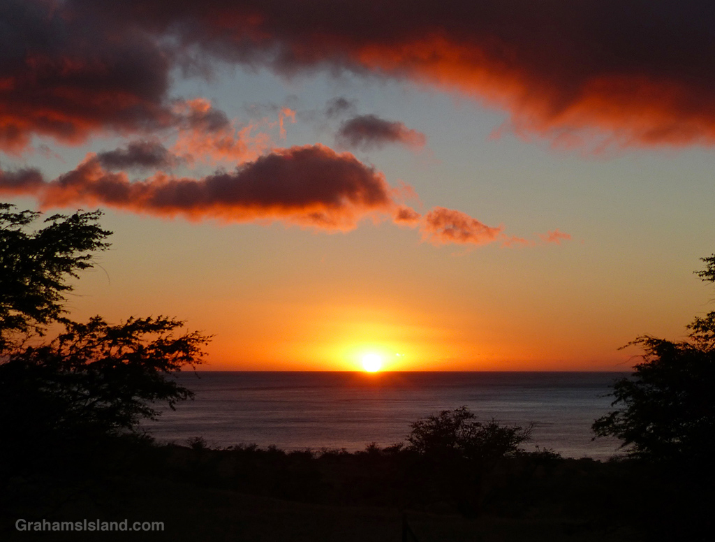
It’s the end of the month so here’s a sunset to send it on its way.

It’s the end of the month so here’s a sunset to send it on its way.

Keanuiomano Stream has been bone dry for weeks, but yesterday’s passage of Tropical Storm Calvin transformed it into a roaring river. There was a lot of rain up in the Kohala Mountain area, which is the source of the stream. It was interesting, though, that the gullies that carry water off the leeward side of that mountain were still dry, so all that rain must have fallen mostly on the windward side and the east end of the mountain.

When the weather’s decent, Kohala Mountain Road offers some great views of the west side of the island. This one is of the South Kohala coast towards Hualalai. Kawaihae Harbor is on the right of the photo.

The North Kohala coast is quite rugged and exposed to strong trade winds and weather systems. This was a relatively calm day, but still capable of churning up white water along the shore.

The North Kohala coast is largely inaccessible except by water or by air. This view shows a few of the many waterfalls that plunge into the ocean along that stretch of coast.
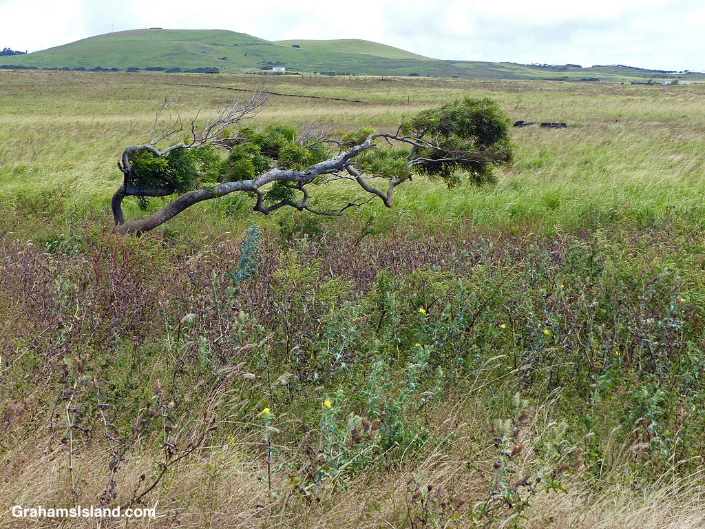
This photo tells you all you need to know abut the winds up here in North Kohala. It also says a lot about the cattle pastures here. Many are currently overrun by weeds of one kind or another thanks to an ongoing cycle of droughts and rain.

There’s still a bit of snow on top of both Mauna Loa and Mauna Kea. Every time it looks like it’s going to disappear, a new dusting bolsters the coverage.
This view is from Kohala Mountain Road. The dark strip snaking through the center of the photo is housing alongside Kawaihae Road, which goes down to the coast. These houses are part of the town of Waimea, which sits in the saddle between Mauna Kea and Kohala Mountain. This part of Waimea is known as the dryside because it receives significantly less rainfall than areas on the east side of the saddle, which is known, correctly, as the wetside.


This week’s Sunday Stills challenge theme is ‘Churches, Temples, and Spiritual Centers.’ See more responses here.
Here’s a few of the churches that can be found in this part of the island.
Kalāhikiola Congregational Church (top photo) is located east of Kapaau, where rainfall is plentiful and the foliage lush. It was built in 1855, though previous versions had existed for some years before this. The church was badly damaged by an earthquake in 2006, but rebuilt in the winter of 2009/2010.
St. Augustine’s Episcopal Church (second photo) was founded in 1884 in Kapaau, and expanded in 1913. It sits on a small hill by the main highway.
Sacred Heart Catholic Church (third photo) was founded in Hawi in 1905, but this structure was built in 1925 and continues to be used daily to this day.
Kohala Baptist Church (bottom photo) is located on the road to Pololu at Makapala. It can’t be seen from the road, but there is a sign by the highway pointing out the way. Currently, the church is undergoing some renovations and services are held in the area below the Royal Poinciana tree on the grounds.

