
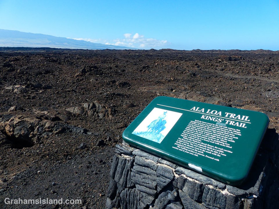
 The Kings’ Trail, is more properly known as the Ala Kahakai Trail (shoreline trail) or the Ala Loa Trail (long trail). The trail was created in the 1800s and stretched 175 miles from Upolu, at the northern tip of the island, down the west coast and up the south coast, to Kalapana in the southeast corner.
It passed through 220 ahupuaʽa, which were land divisions stretching from the ocean to the mountains. This meant that each ahupuaʽa contained the necessary resources to sustain its inhabitants.
These days, some sections of the trail are open for hiking, but others cross private land. The goal is to reopen as much of the trail as possible to public use. These photos are of parts of the trail passing down the Kohala coast. In many places the trail is ramrod straight to make passage easier, though the surface is often uneven.
Posted in response to this week’s Friendly Friday challenge on the theme of ‘Pathways.’ See more responses here.


 This week’s Sunday Stills challenge theme is ‘Something Red.’ (See more offerings


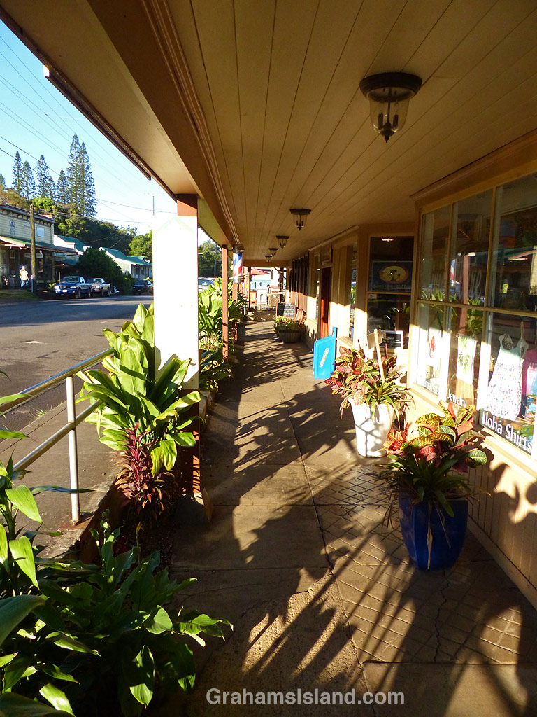 Hawi is the northernmost town on the Big Island. Together with Kapa’au, two miles to the east, it’s the main population center in North Kohala. This area was a center of sugar production from the mid 1800s to the early 1900s. Today, it’s geared towards tourism and agriculture.
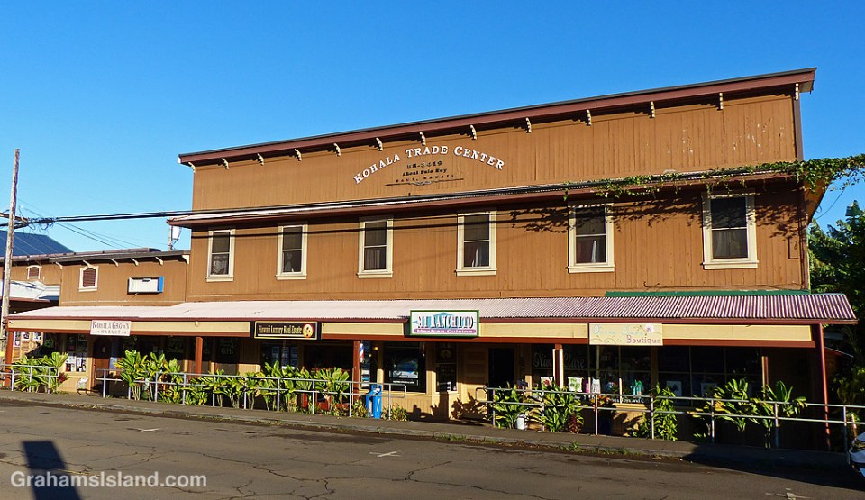

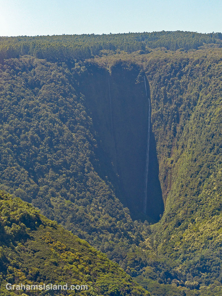 This week’s Sunday Stills challenge theme is ‘Bucket List Images.’ (See more responses