In Hawaii, it’s not unusual for people to commute between islands. Many medical professionals are based in Honolulu, but have offices on the Big Island which they visit on a weekly basis. The same can be said for other professionals: lawyers, scientists, engineers and the like. Politicians and government officials go back and forth on a regular basis.
But it’s not just professionals. Skilled tradespeople might work on any of the islands, commuting on a daily or weekly basis. Highway construction crews likewise move from island to island depending on where and what projects are being worked on. Musicians and other artists are regular island hoppers. The list goes on.
There’s one mode of transport for all these people and that’s air travel. There are no inter-island ferries. The Hawaii Superferry operated from 2007 to 2009 but was suspended when the Hawaii Supreme Court ruled that a second environmental impact statement was required. One concern with a ferry is the increased risk of spreading invasive species and diseases of plants and animals.
Hawaiian Airlines is the biggest operator in the islands, with the lion’s share of the inter-island business. It operates from its hub in Honolulu, but also offers direct flights between the other islands. The second photo shows the distinctive tails of a couple of its planes at Honolulu Airport.
Smaller airlines have also offered inter-island routes. These include Aloha Airlines, Go! Airlines and Island Air. These three ceased business in 2008, 2014, and 2017 respectively. Currently, the only other island airline is Mokulele Airlines, though it doesn’t fly to Kauai. They service some smaller airports and operate smaller planes such as the one above, coming in to land at Kona Airport.
Posted in response to this week’s Sunday Stills challenge is on the theme of ‘Transportation or Commute.’ (More responses here.)


 Here are a couple of colorful benches that can be found at Pana‘ewa Rainforest Zoo & Gardens in Hilo. Designed more for appearance than comfort, there are several similar benches at the zoo (
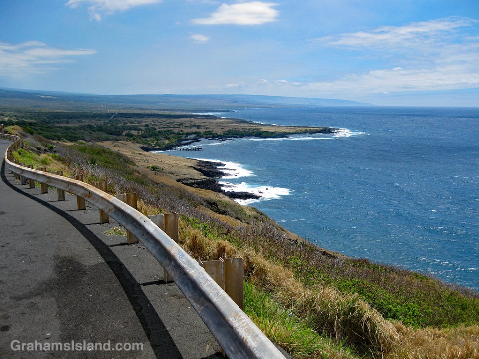
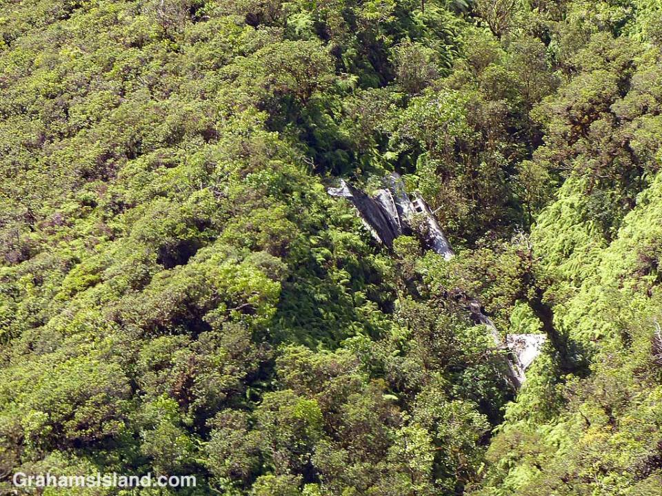
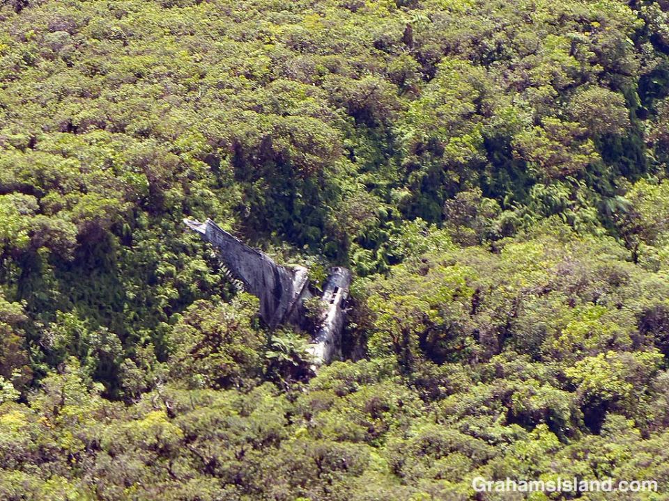
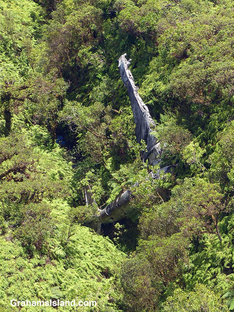 On the evening of Tuesday, February 25, 1941 this twin-engined B-18 bomber was part of a group of four aircraft on a night training mission. They had started out from Hickam Field on Oahu. Not far from Hilo the plane lost its port engine when a bearing failed. The pilot decided to try and reach Suiter Field (now known as Upolu Airport) at the island’s northern tip. It was not to be. Flying on only one engine, the plane lost altitude. The crew thought they were over the sea, but suddenly a mountain appeared in front of them. The pilot yanked on the flight yoke wheel and the plane stalled and flopped into the trees around 10 p.m.. Incredibly only one crewman was slightly injured.