
The North Kohala coast is quite rugged and exposed to strong trade winds and weather systems. This was a relatively calm day, but still capable of churning up white water along the shore.

The North Kohala coast is quite rugged and exposed to strong trade winds and weather systems. This was a relatively calm day, but still capable of churning up white water along the shore.

In the early morning, on the waters off Kawaihae, some outrigger canoe paddlers train for a future race while cattle egrets head in the opposite direction to find their cattle.
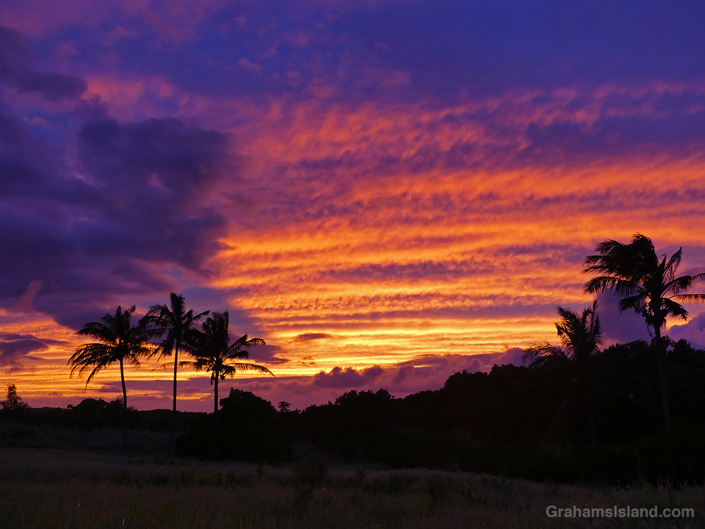
I happened to glance out of the window on a recent evening and saw a nice sunset in progress. My house is not great for sunset photos, with power lines and trees getting in the way. If I walk down the drive towards the street, there’s a spot that’s not too bad for photos. But these days I have a new option.
The house below has been empty for months – and falling rapidly into disrepair – but it has some clean and open views (though not the “expansive views of Maui” in the real estate listing). So I marched down there and took advantage of the gorgeous skies and lovely palm silhouettes that were on offer.

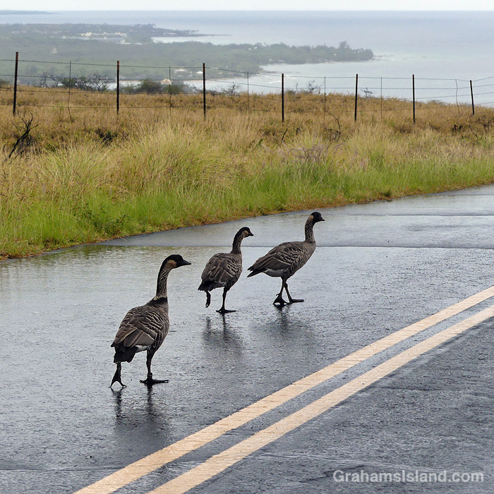
I was driving home from work recently, in a downpour of rain, when I came across this column of four nenes wandering down the road. They crossed in front of me, padded down the other lane, then crossed back to the side I was on. I ended up passing them by driving in the wrong lane, since there was no oncoming traffic.
There are quite a few nenes in that area in part because, like most geese, they’re big fans of golf courses!


This week’s Sunday Stills challenge theme is ‘The Great Outdoors.’ See more responses here.
Recently, I took a hike along the South Kohala Coast, starting out at ʻAnaehoʻomalu Bay in Waikoloa Resort, and heading south to Keawaiki Beach, before returning the same way. This is a hike I’ve done before, but not for some time.
ʻAnaehoʻomalu Bay is often referred to as A Bay because it’s a tad easier to pronounce. It’s one of the more popular beaches on the island, but head south, around the corner from the main beach area, and the golden sands are largely deserted. Well, except for the odd green sea turtle taking a nap.
There are a few rustic structures behind the beach along here, but it’s a far cry from the resort developments less than a mile to the north. When the sands end, there’s a short stretch where high tides wash up against a wall of greenery. Hiking at those times, which I did, involves nimble footwork or getting your feet wet. I’m not nimble!
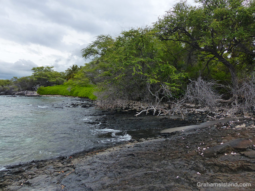
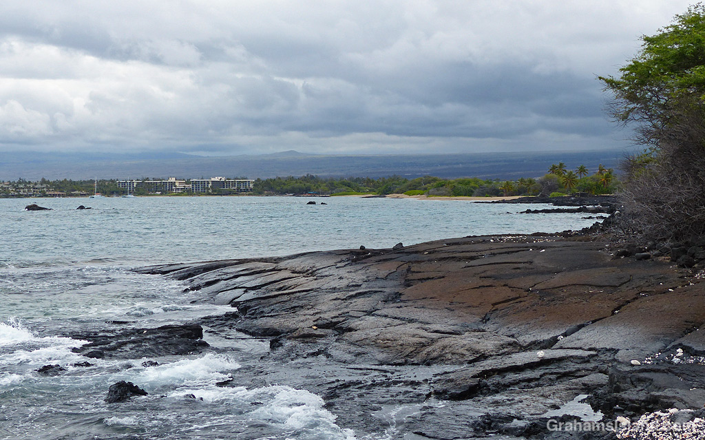

Beyond this point the coast becomes rocky lava, where flows from Mauna Loa have tumbled into the ocean in bygone days. The trail is mostly over a’a lava, which is irregular and rough. The trail itself is not hard to walk, but straying into the lava fields is another matter entirely.

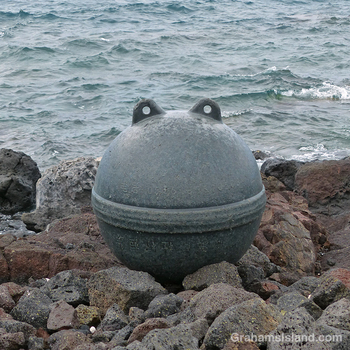
The first marker on this part of the trail is the lone palm tree at Akahu Kaimu Bay. Just inland from this palm is a pool, which is mostly freshwater and deep enough to swim in. This is a welcome option on a hot day, but since it was mostly overcast with a nice onshore breeze, I didn’t take a dip this time.


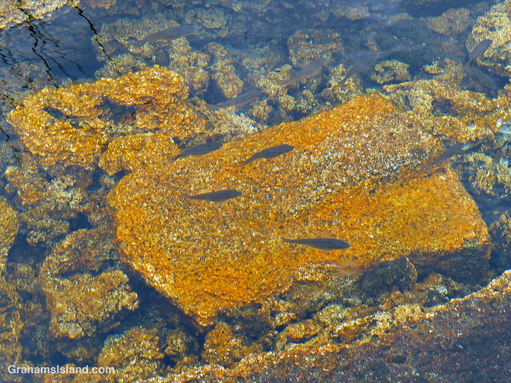
The trail continues over the lava field to the next bay and it was here I got lost. The coast trail often passes over the lava rather than follow the coast around points and the only trail I could see appeared to be doing just that. But when I followed it for a while I saw that it continued inland. However, I could also see that where it headed was to the Golden Pools of Keawaiki, which was I planned on visiting anyway, so I carried on until I came to familiar ground. The golden pools owe their color to a unique algae that grows here. These are not pools for swimming in since that could alter the conditions and destroy the algae.
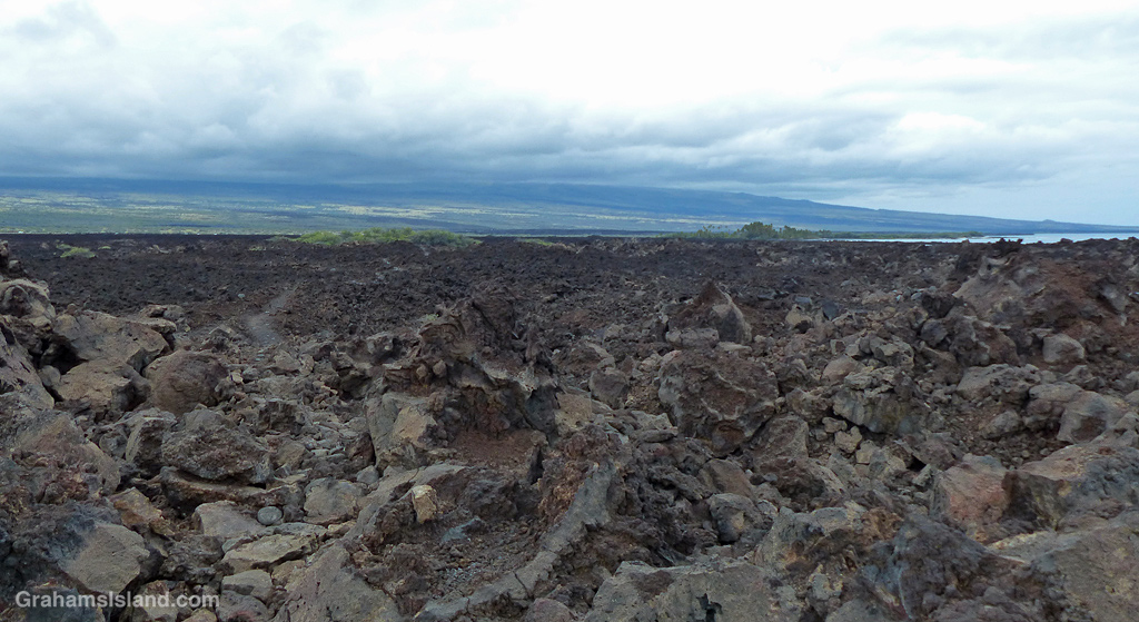
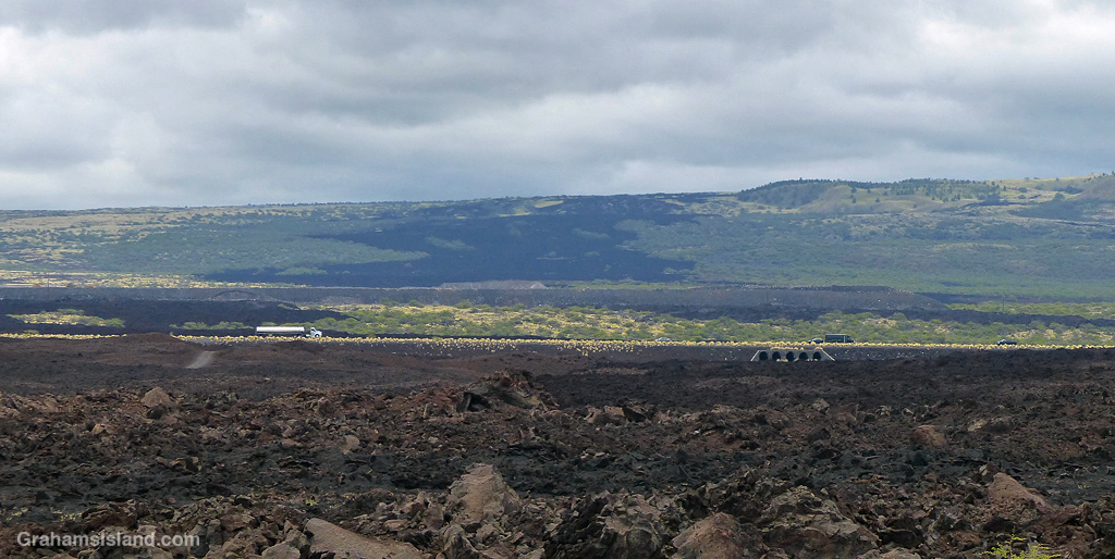

Heading back to the coast, the trail comes out at Pueo Bay where I found an abandoned kayak, not in great condition. Keawaiki beach, just beyond, is another bay marked by a sole palm tree, but this poor tree has been badly damaged by storms and is no longer much of a tree.


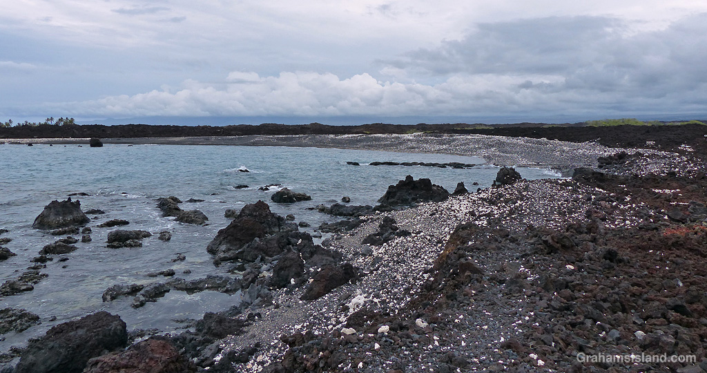

Heading back north, I passed the sole house on this part of the coast, just beyond Weliweli Point. I have yet to see anyone at this spot, though someone obviously maintains the property. I got back to the bay where I had strayed off the track and realized where I’d gone wrong. The coast trail zigzags up from the beach and is marked only by a couple of pieces of bleached coral, which don’t stand out much on a beach strewn with the same kinds of coral pieces.
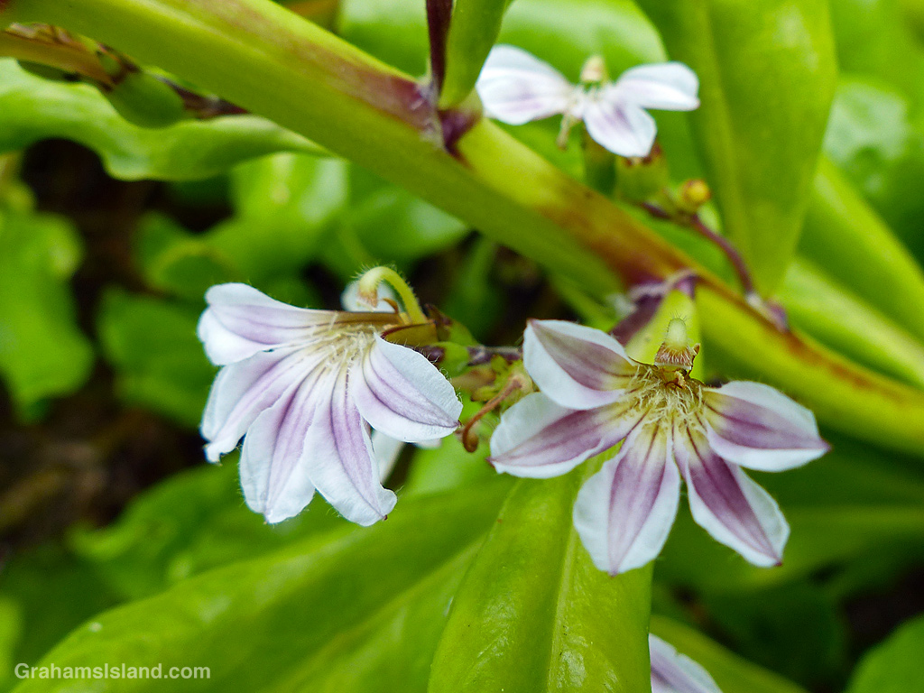
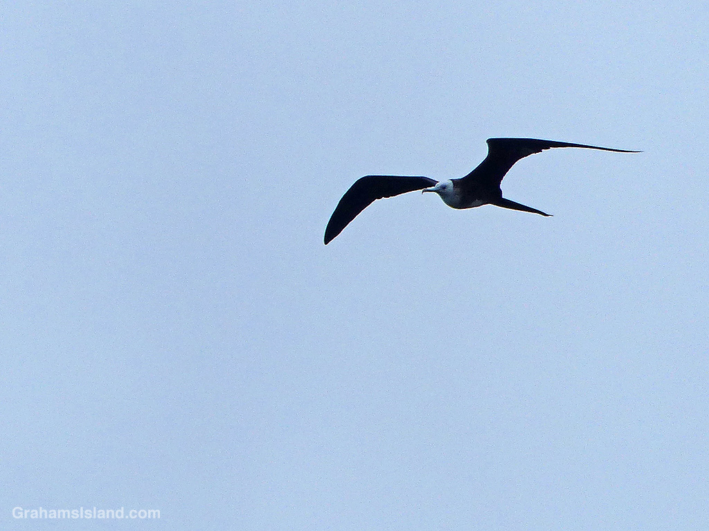
This trail isn’t a great one for birds, but I did see a Great Frigatebird wheeling overhead, which is always nice. And though this coast appears unforgiving, there are hardy plants to be found including native Hau trees and swathes of Beach Naupaka.

By the time I got back to A Bay, the Lava Lava Beach Club was busy with dinner patrons, enjoying their meals at tables set up on the sand and close to the water.

Also posted for Jo’s Monday Walk. See more responses here.

A small boat leaves Kawaihae Small Boat Harbor early in the morning. It was likely headed out on a fishing expedition. I don’t know how they fared, but it was a fine start to the day regardless.

The North Kohala coast is largely inaccessible except by water or by air. This view shows a few of the many waterfalls that plunge into the ocean along that stretch of coast.

This week’s Sunday Stills challenge theme is ‘Everything Water.’ See more responses here.
I’m going with some abstract images from my archives. No text with these except for some brief captions.


