Tag Archives: Kohala

Brown water

Brown water

After something of a dry spell, during which I was able to drive my truck out of the yard without sliding about, there’s been a lot of rain lately. My truck is back to sliding, but that’s a minor issue compared with what happens to all that rainfall.

What happens is that the rain hits the land and runs downhill. It channels into dry gullies. If the rain is heavy enough, flash floods occur and wash all before them – dirt, rocks, trees. But any kind of heavy or prolonged rain will wash earth and debris down the gullies. All those gullies lead to the ocean, channeled under roads by culverts (bottom photo).

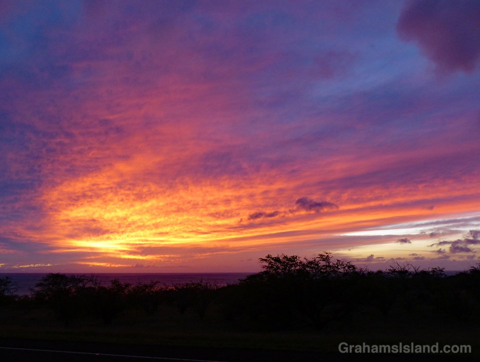
When the runoff reaches the ocean, it forms a distinct area of dirty brown water in the blue Pacific Ocean (top photo). The contrast is striking and easily visible from miles away. Over time, the brown and blue water will begin to mix until the delineation is gone, but part of that process is the dirt from the brown water settling to the ocean floor.

This kind of runoff is one of many threats to coral reefs around the Big Island. It’s not just dirt in the runoff, but also pesticides and other chemicals that can be washed down into the reefs, damaging the coral. There are hundreds of gullies and only a few places have erosion prevention measures to help mitigate this pollution.

So while Hawaii may be considered paradise, it has its share of challenges. And the problems associated with runoff and pollution are more visible and obvious than most.

Posted in response to this week’s Friendly Friday challenge on the theme of ‘Contrasts.’ See more responses here.

Brown water and culvert

Better Days: Stuffed toy

better days-stuffed toy

On one of my walks, I noticed this stuffed toy lying on a dirt road. So I dusted it off, set it off to the side, and took this photo. I was happy to see that the toy still looked cheerful despite its ordeal.

The next time I walked that route, the toy was gone, so hopefully someone had retrieved it.

Cattle on the edge

cattle on a cliff edge

I used to live in the same town as Jim Whittaker, the first American to reach the summit of Mount Everest. He duly published an autobiography titled, ‘A Life on the Edge.’ As someone who lives close to the flat center surrounded by fluffy pillows, I use that phrase as a punchline for many things.

“I think I might have another cookie.” “Ooo, life on the edge.”
“I bought new shorts that are a slightly different tan shade than my previous pair.” “Life on the edge.”

You get the idea, which has nothing to do with anything really except that, on this day, the cattle in these photos really were living life on the edge.

cattle on the edge

Kings’ Trail

kings trail ala loa

kings trail straight
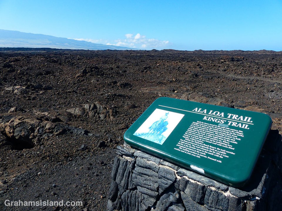
The Kings’ Trail, is more properly known as the Ala Kahakai Trail (shoreline trail) or the Ala Loa Trail (long trail). The trail was created in the 1800s and stretched 175 miles from Upolu, at the northern tip of the island, down the west coast and up the south coast, to Kalapana in the southeast corner.

It passed through 220 ahupuaʽa, which were land divisions stretching from the ocean to the mountains. This meant that each ahupuaʽa contained the necessary resources to sustain its inhabitants.

These days, some sections of the trail are open for hiking, but others cross private land. The goal is to reopen as much of the trail as possible to public use. These photos are of parts of the trail passing down the Kohala coast. In many places the trail is ramrod straight to make passage easier, though the surface is often uneven.

Posted in response to this week’s Friendly Friday challenge on the theme of ‘Pathways.’ See more responses here.

kings trail

The mouth of Honokāne Iki valley

The mouth of Honokane Iki Valley

At the end of Highway 270, on the northern tip of the island, is Pololu Valley. There’s a trail down to the beach there and, at the other end of the beach, another trail leading up to a bench that overlooks Honokāne Nui valley.

Not far beyond the bench, the trail was destroyed by an earthquake in 2006. It’s still possible to descend to the valley, but the trail goes straight down a steep slope and ropes are in place to make this possible. There are no guarantees that these ropes are in good condition and the slope certainly isn’t. If you do descend this section, the trail passes through varied vegetation and ultimately leads down to a rocky beach at the mouth of Honokāne Nui valley.

Beyond Honokāne Nui, there’s another trail that continues over the next hill and down into Honokāne Iki valley. That valley opens up to this beautiful little bay, which is quite protected and, at low tide, has a nice sandy beach. Be aware though that this is private land and in use on a regular basis.

Happy New Year

Grader and Maui

What’s this grader got to do with a happy new year? Well, it’s sitting near the edge of a newly-graded house pad at Hapuna Resort. Soon, a house will be built here and when it’s done it will have a fabulous view toward Maui (above) and out over the ocean (below). So it’s kind of a new beginning with a wonderful outlook. I hope your new year has a similarly great prospects.

Grader and ocean