Tag Archives: Lava

Mauna Loa hike – it’s getting better all the time

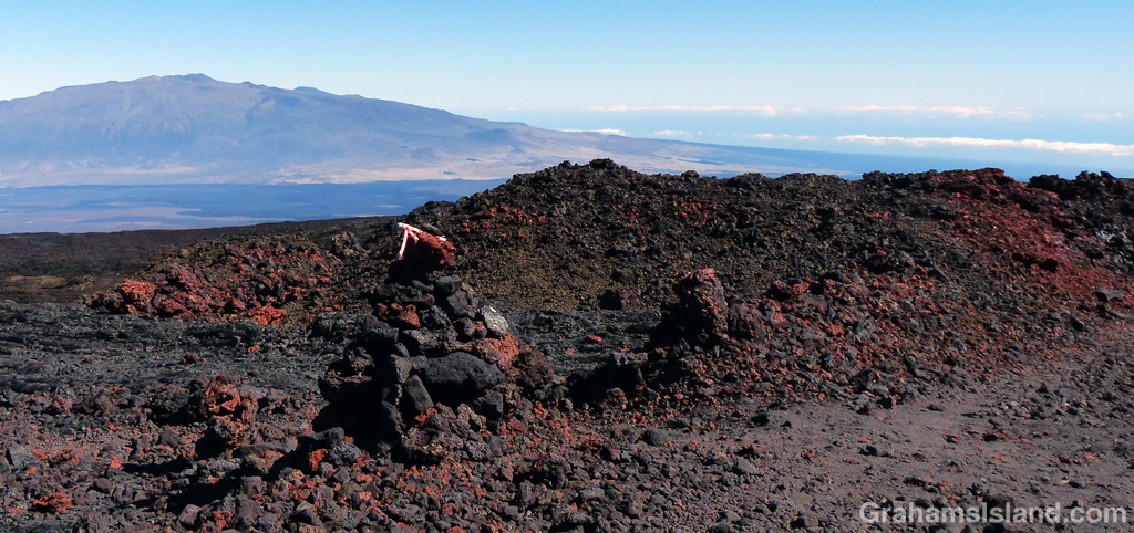
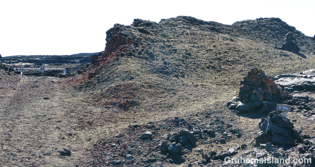
The lava comes in many colors, seen here where the trail crosses the road.
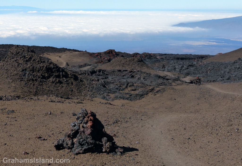
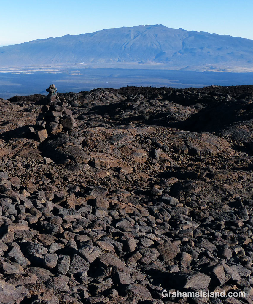
Clouds hang over the west side of the saddle between Mauna Loa and Mauna Kea.
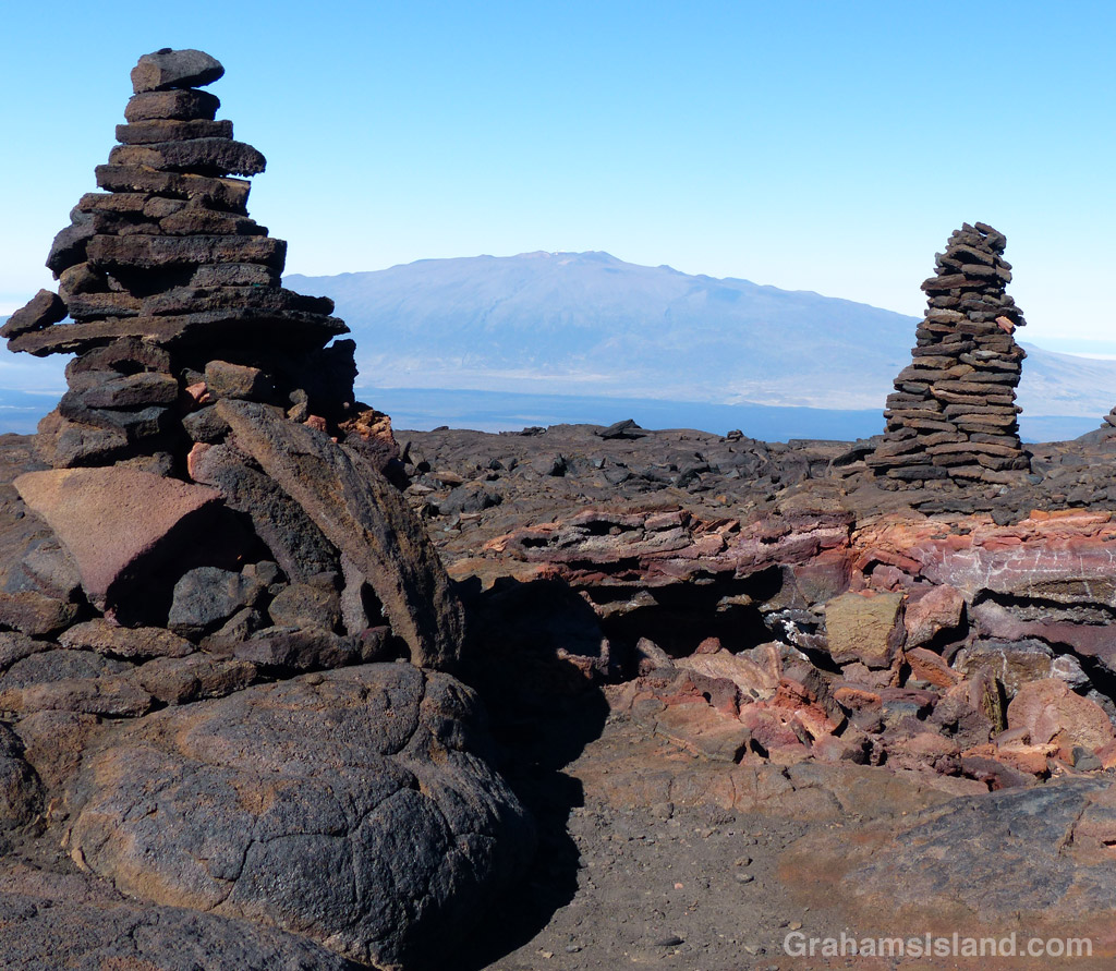
These two big cairns mark a collapsed lava tube.
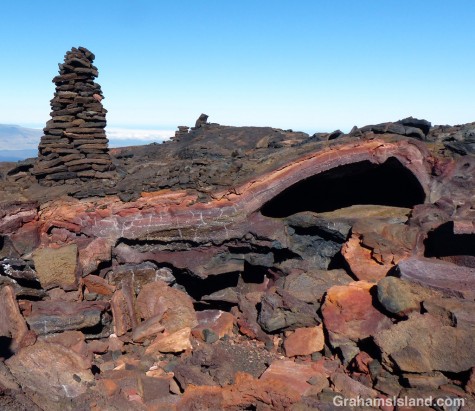
The collapsed lava tube is full of colorful rock.
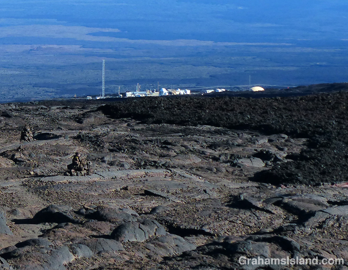
The observatory comes into view. Note the rough a'a lava on the right and the more rounded pahoehoe on the left nad in the foreground.
The observatory comes into view. Note the rough a’a lava on the right and the more rounded pahoehoe on the left and in the foreground.

This is a continuation of yesterday’s post, the third and final leg of the hike.

I made a rapid descent. Despite not feeling well, I was still able to put one foot in front of the other at a good pace. Unlike the Mauna Kea descent that I did a few weeks previously, this wasn’t as steep so the going really was easier. I made good time back to the trail junction at the edge of North Pit and better time from there on, barreling down the slope.

The weather continued to be perfect – cool, but sunny and clear. And going down, the views are always there. On this trail, unlike the Mauna Kea descent, views open up to both sides of Mauna Kea as well as the mountain itself. There were still clouds over Waimea and the foothills, and some clouds to the Hilo side, but these had been there all day and had not advanced at all up the saddle.

The farther I descended, the better I felt. There was some unnoticed point at which my concern for how I felt was replaced by appreciating what I was seeing, because I wasn’t feeling bad anymore. I wound down through the cinder section, followed the road again and came to the two big cairns marking the broken lava tube. From there it was just a short hike to the rough and ready road and the last string of cairns, with the observatory off to the right and Mauna Kea clear in front.

I ambled along the last section of road back to my car. I hadn’t seen a soul all day, but as I approached the parking area, four vehicles pulled up and disgorged a clump of tourists who sounded like they came from somewhere in Europe. Some wandered off. Others seemed to be going through some sort of personal growth ritual. I got curious looks as I peeled off shoes and socks, giving my battered feet some air. I didn’t much care. I felt pretty good again and very satisfied with the day.

It’s a hike I’d do again. I’d start earlier, have better footwear, take it a mite slower for acclimatization purposes. And I’d hope too make the summit next time, though I’m not too bothered that I didn’t. For me, a day alone on a big mountain is reward enough.

For more information about the Mauna Loa Observatory Trail, go to bigislandhikes.com/mauna-loa or instanthawaii.com (under Things To Do, check Scenic Drives for the road up to the observatory and Hikes & Trails for the trail).

Mauna Loa hike – life at the top

North Pit with the cabin trail heading o;ff to the left. The summit is in the distance.
North Pit with the cabin trail heading off to the left. The summit is in the distance.
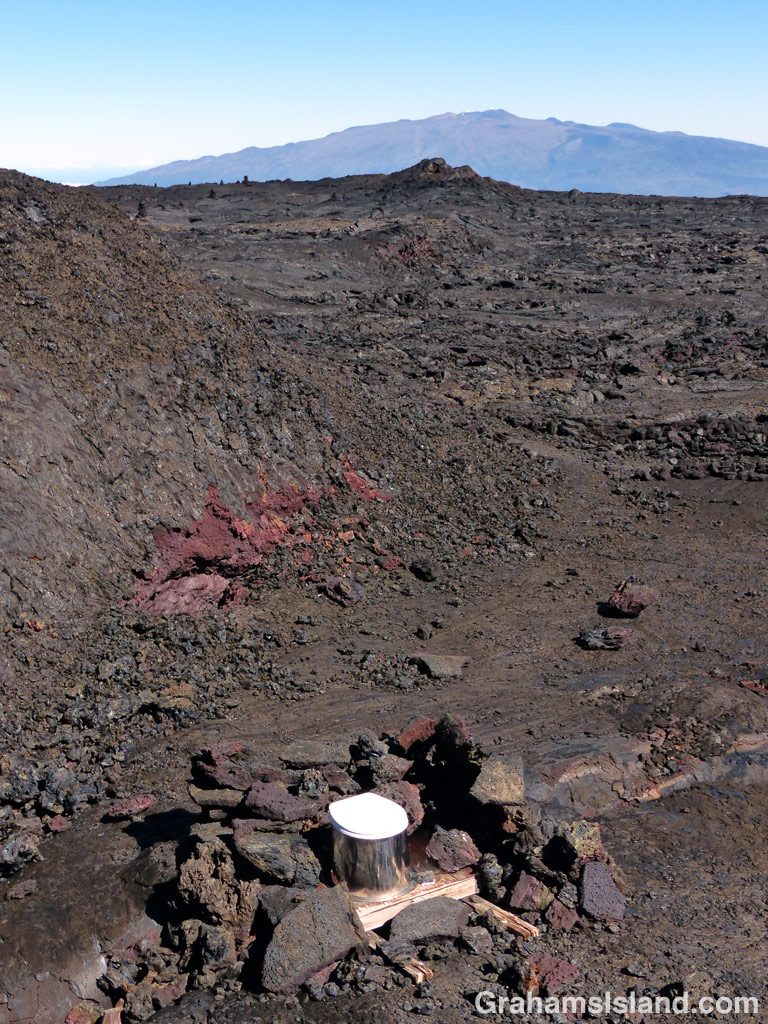
This pit toilet is said to have one of the best views, but it really just faces a cinder ridge.
This pit toilet is said to have a great view, but it really just faces a cinder ridge.
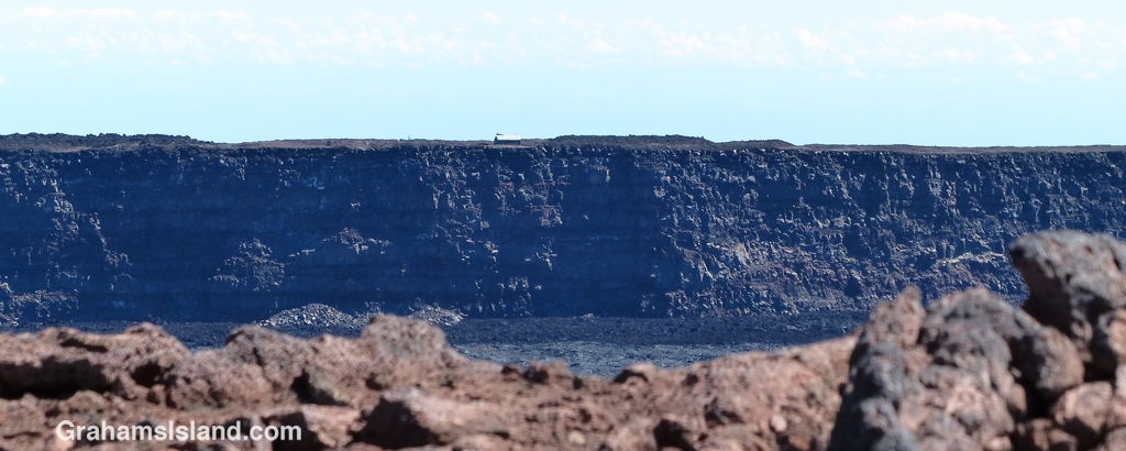
Mauna Loa cabin can be seen across the crater.
Mauna Loa cabin can just be seen on the rim, across the crater.
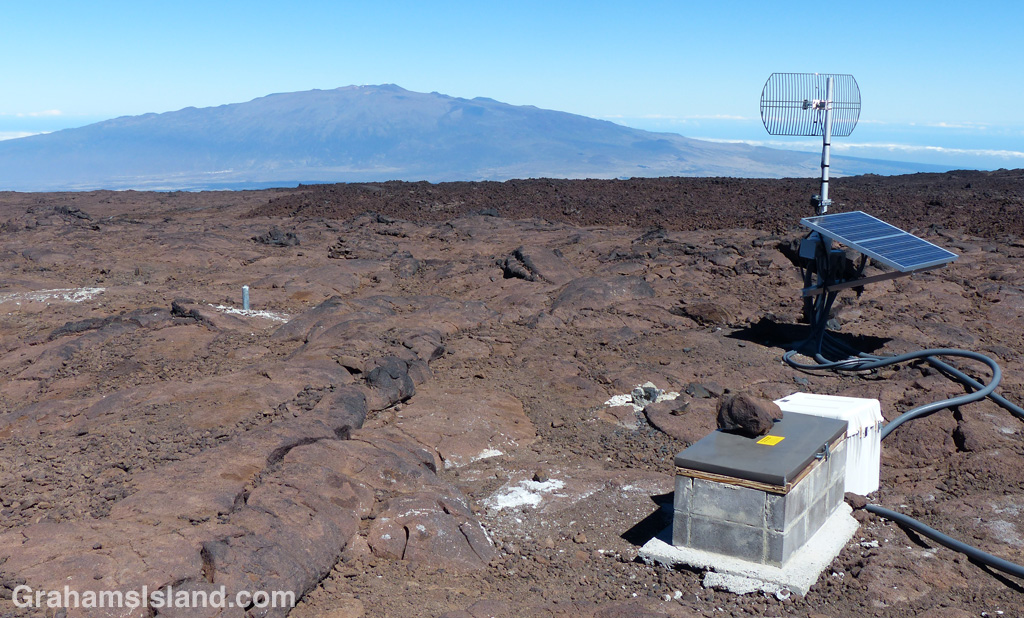
Seismic instruments are scattered around the summit of Mauna Loa.

This is a continuation of yesterday’s post.

Having arrived at the North Pit around 11:00 a.m. I had to decide what to do next. I could explore the North Pit. I could turn around and head down. I could continue on to the summit. The summit is another 2.5 miles or so – I’ve seen different numbers. It’s not steep, but it is relentlessly up, traversing more rough lava and all of it above 13,000 feet.

Still, I was here in better time than I expected, the weather continued to look good, and I continued to feel good. So off I went onto the Summit Trail. Near the start there’s a shelter which is really just a good-sized pit. It’s a good place to shelter from the wind if it’s blowing (and it can really blow), but not so good if it’s raining or snowing.

The trail rumbles uphill. It’s mostly steady going with occasional forays over more challenging a’a lava. The biggest thing, at least as far as I was concerned, is that it just keeps going. There are a succession of crests, not really ridges, just places that look like they’re a ridge. The first one or two didn’t raise any hopes because I knew I hadn’t gone that far. But after that, it’s a series of raised and dashed hopes – ‘maybe that’s the summit, oh no, there’s another one.’

I trudged on, not feeling too bitter about these constant let downs. What did concern me was that I was starting to feel less well. I reached a point where I was sure that the next ridge was the summit and swore that if it wasn’t I was going down because of how I felt. Of course, it wasn’t the summit, but the next ridge really wasn’t far, so I carried on. I repeated this delusion a second time and, when I topped that rise, finally saw the summit. It was a half mile off.

I could probably have slogged that last leg, but I really didn’t feel good and the only cure for altitude sickness is to lose altitude. So I rested a while, had a bite to eat, and enjoyed what was still an awesome view of Moku’āweoweo. I’d been drinking water steadily all the way up and continued to do so. Dehydration sneaks up fast at altitude.

After a short while, I packed up my gear, gave the summit a final rueful glance and headed back the way I’d come.

Tomorrow, I’ll post the hike back down.

For more information about the Mauna Loa Observatory Trail, go to bigislandhikes.com/mauna-loa or instanthawaii.com (under Things To Do, check Scenic Drives for the road up to the observatory and Hikes & Trails for the trail).

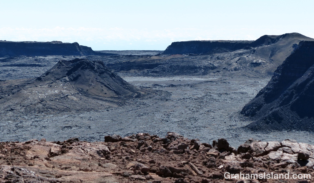
Moku’āweoweo, with South Pit in the background.

Mauna Loa hike – going up

Mauna Loa Saddle
Pu’us on the west side of the saddle between Mauna Loa and Mauna Kea, with the Kohala Mountains peeking above the clouds in the background.
Mauna Loa Notice
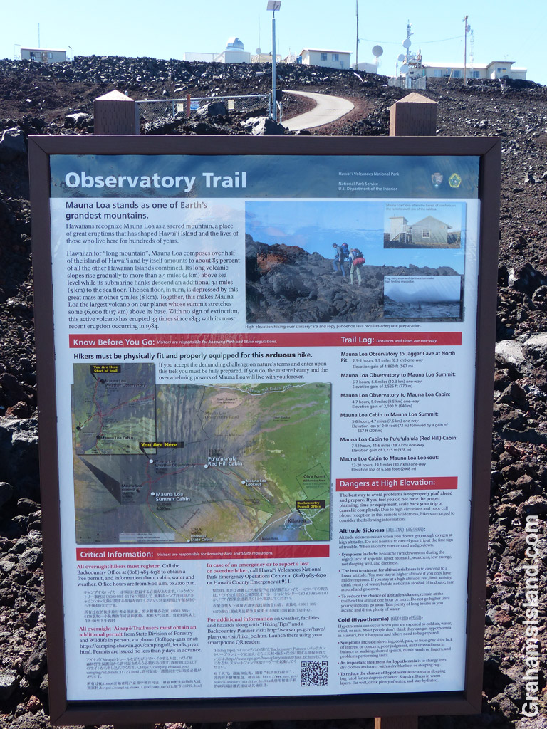
The trail notice below the observatory.
Mauna Loa Trailhead
The trailhead, a case of spot the cairns.
Mauna Loa 1st Road
The trail, marked by the cairn, crosses the road. The rocks in the foreground are the road!

There are two hiking routes up Mauna Loa. One is the Mauna Loa Trail starting out from Hawaii Volcanoes National Park. This is a 40 miles or so round trip, a multi-day hike requiring a permit. See nps.gov/havo/planyourvisit/hike_maunaloa.htm for information. The other trail is the Observatory Trail, which is reached from Saddle Road. This is the trail I took.

The trail begins at the Mauna Loa Observatory, which monitors atmospheric change. The road up to the observatory begins a hundred yards or so Hilo side of the Mauna Kea Road – Pu’u Huluhulu Native Tree Sanctuary junction. It’s about 17.5 miles and, contrary to some reports, is currently in excellent condition having obviously been repaved in the none too distant past. It’s still single-lane and goes up and down and around many bends, so drive carefully.

Mauna Loa Tube Remnant
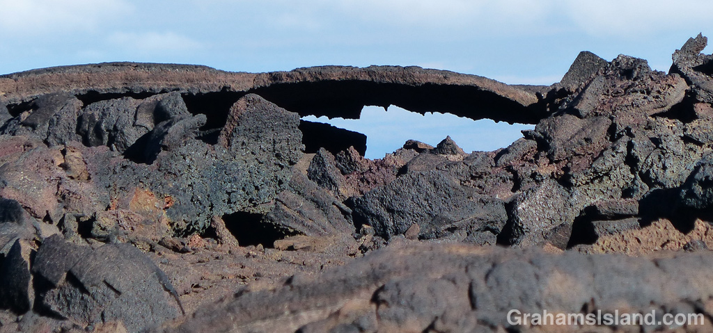
This remnant of a lava tube gives some idea of how thin the top can be.

I intended this to be a day trip, which requires an early start. There are two ways to do this. One is to drive up in the evening, sleep in the parking area overnight (all the while acclimating to the altitude), and head out early. The other, which I chose, is to drive up to the observatory early in the morning, spend an hour or so acclimating, and then head out. I left home at 5 a.m. and arrived at the parking area at 7 a.m.. En route I nearly ran over a sheep wandering in the road in the dark and, at the junction, got to see an orange sunrise being welcomed by white-robed followers of what I assumed was some sun-worshipping group.

The trail starts at about 11,000 feet and goes up some 2,700 feet to the summit. It’s a high altitude trail prone to sudden weather changes so the usual cautions apply. There’s a sign at the trailhead that outlines why this hike could be your last. I joke, but the concerns are real. I’d picked a day of fine, settled weather, but packed food, water and clothing for an unscheduled overnight stop.

That said, I headed out on the very rough dirt road that is the start of the trail. This is a road for 4-wheel drive trucks with strong motors and lifted suspensions that make the truck bed seem detached from the wheels. I’ve hiked at altitude a moderate amount and not had any problems, but I know to take my time and be alert to signs of altitude sickness.

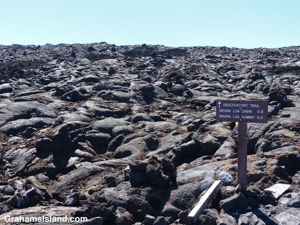
After about half a mile the trail proper takes off to the left. There’s a nice, clear sign marking the spot. The trail itself is less obvious. Most of this trail is marked by cairns. Sometimes there’s a splash of white or yellow paint, sometimes a stick or pole, but the cairns are the main guide. The only thing is, the cairns aren’t always obvious as the trailhead photo shows. It’s a good idea to identify the next cairn before leaving the one you’re at.

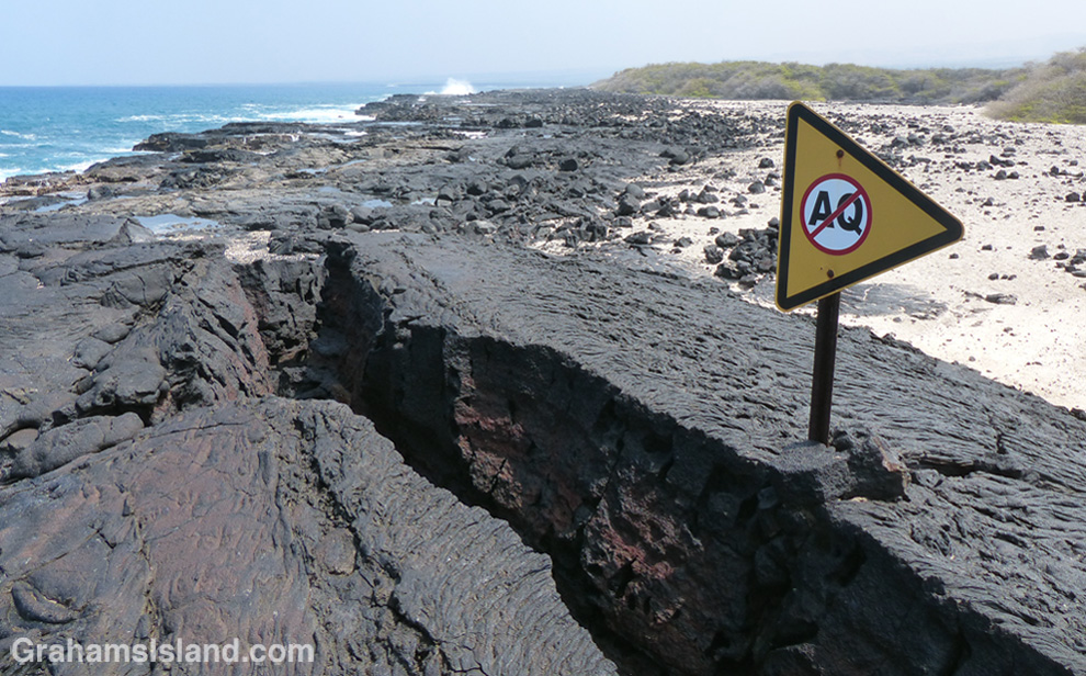
A lot of this trail passes over rounded pahoehoe lava. I prefer hiking on this to sharp a’a lava. At least with pahoehoe I have a solid surface to place my foot and to push off from. That said, there are times when the surface crackles and I’m keenly aware the area is riddled with lava tubes, some topped with a thin crust that could easily give way. That’s one reason why I try not to stray from the trail.

When I hike, I often have songs running through my head and, on hikes like this, I inevitably end up humming “Put one foot in front of the other” from the 1970 movie Santa Claus is Comin’ to Town (don’t ask). It is, however, a one-foot-in-front-of-the-other kind of hike, a steady climb at a steady pace, watching ones steps.

About 45 minutes in, I crossed the dirt road I’d started on (which zigzags up the mountains most of the way to the summit). I’d walked up the road once before looking for this crossing and hadn’t identified it. Now I recognized that I’d walked past it. A lot of the trail is like this – a mishmash of lava and ups and downs, with a distinctive feature here and there. There’s a broken lava tube marked by two big cairns and another junction with the road. The trail follows the road at this point until it comes to a gate marking the national park boundary. Then it veers off, up the hill, to the right on an easily followed cinder section, crosses the road a third time, and finally winds up another half mile to the edge of North Pit, the northern most feature of Moku’āweoweo, the summit caldera.

Dare I say that this view isn’t the most spectacular? The floor of North Pit is only about 10 feet below the rim and, since it stretches out a good way ahead, that’s really most of what there is to see at this point. It’s still an impressive view. The trail to Mauna Loa cabin angles across the North Pit floor and in the distance are the higher cliffs of the main crater. Best of all, I was feeling pretty good, it was only 11:00 a.m. (three and a quarter hours to this point), and the weather continued to be and look great.

Tomorrow, I’ll post my hike from North Pit up the Summit Trail.

For more information about the Mauna Loa Observatory Trail, go to bigislandhikes.com/mauna-loa or instanthawaii.com (under Things To Do, check Scenic Drives for the road up to the observatory and Hikes & Trails for the trail).

Mauna Loa Gate
The road ends at a locked gate. The trail takes off up to the right.

Kiholo to Keawaiki hike

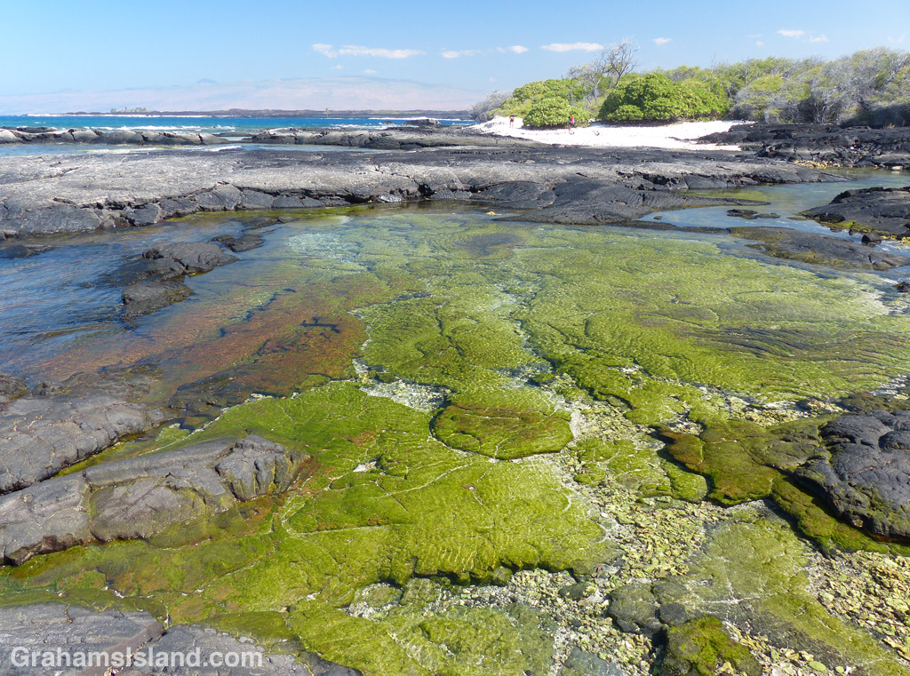
Tidepool south of Keawaiki
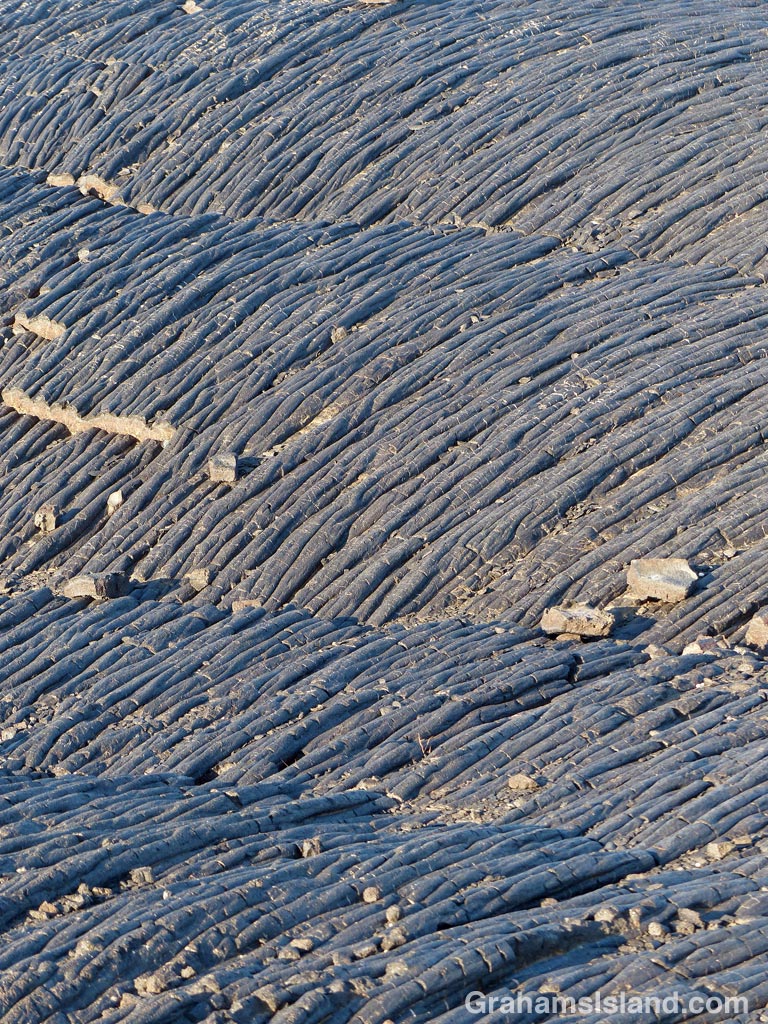
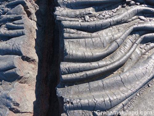
The wrinkles in this pahoehoe lava were torn apart on cooling.
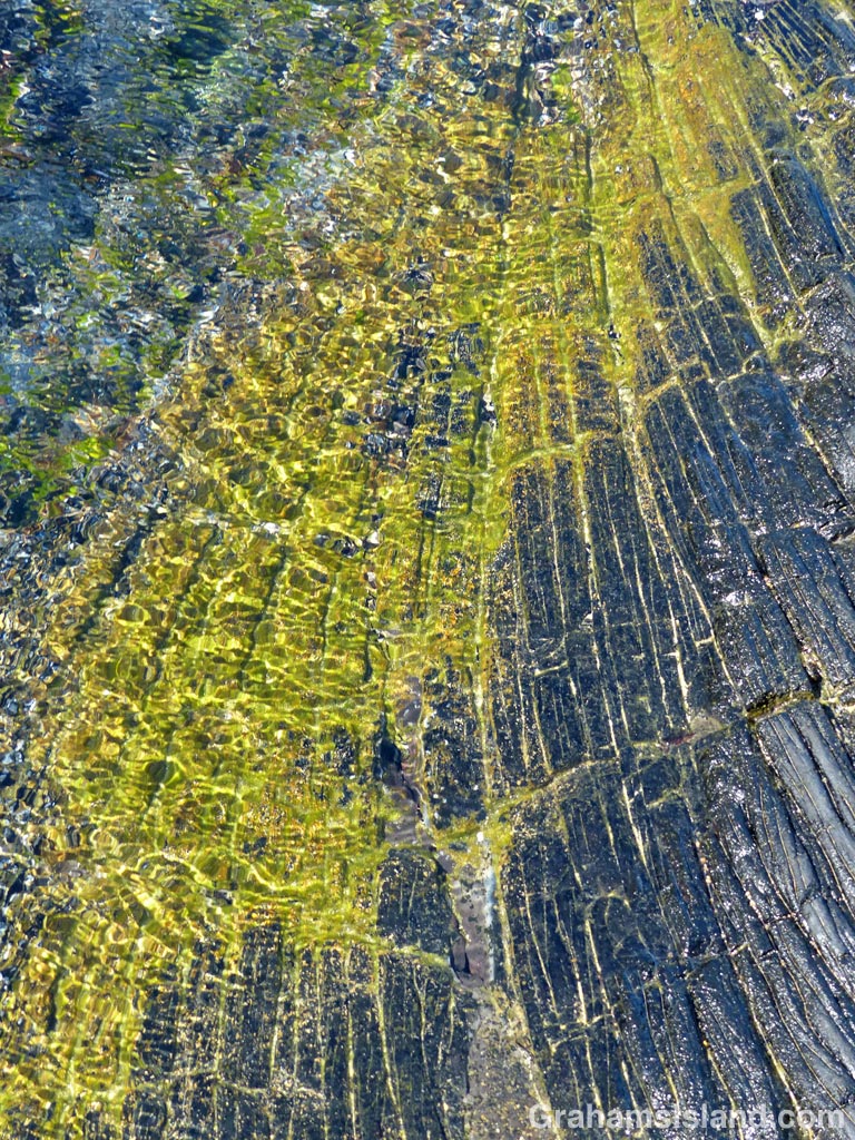
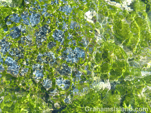
Shimmering tidepool colors.

This is the return leg of the hike in yesterday’s post.

The view toward Keawaiki Bay from the south.
The Brown estate at Keawaiki looks inviting, but the sign says otherwise.

The trail north from Kiholo is a hit and miss affair. Sometimes it’s clear, more often not. But the idea is to follow close to the coast. Think of it as Goldilocks would: If it’s dry, hot and still, you’re probably too far inland. If it’s cooler, but wet, you got too close to the cliff, tumbled into the ocean, and are probably in immediate need of medical attention. If it’s dry, but with a nice cooling breeze, then you’re probably just right.

The trail covers the same pahoehoe lava flow experienced on the way south. Here though, a refreshing breeze and an expanse of ocean views, including a pair of whales blowing and slapping some way off, enhanced the experience.

About half way along the trail is Ohiki Bay, a steep, mostly pebbled beach. A little farther still, some greenery appears, the cliffs dwindle, and the route follows the shore. Low pillows of lava have created inlets and pools, depending on the state of the tide. It was here that I found myself engrossed for the best part of an hour staring into the shallows. Incoming waves wrinkled the surface, highlighting the variety of colors and shapes.

The greenery back from the shore is the Francis H. Ii Brown beach residence. Brown was a well-known Hawaiian golfer and legislator during the 1920s, ’30s, and ’40s who built this compound in the late 1920s. It was added to the National Register of Historic Places in 1986.

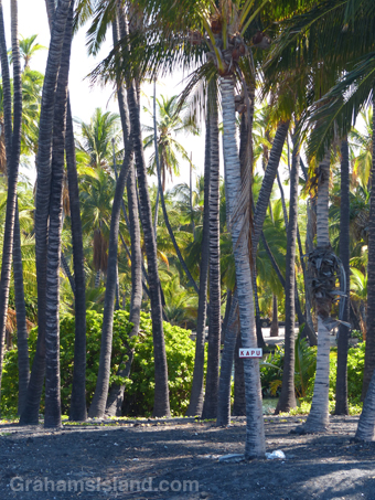
I’ve read that it’s possible to visit the place, being open one day a month, but I’m not sure that’s still true since the contact information on the sign has been erased. The encirclement of barbed wire and liberal use of Kapu signs don’t hint at any kind of welcome. Kapu is a Hawaiian word with several meanings including ‘sacred,’ ‘forbidden,’ and its modern day usage of “no trespassing’ or ‘keep out.’

Immediately past the Brown residence is Keawaiki beach, another steep and mostly pebbled beach, but the trail back to the truck, half a mile inland, follows the barbed wire fence and access road back to the main highway.

In all, the round trip hike was about 7 miles and took 5 hours with a good deal of dallying along the way, but in my book, a most rewarding experience.

For more information about this, and other hikes on the Big Island, go to bigislandhikes.com. (This hike is listed as Kiholo to Keawaiki, starting from the southern end.)

Keawaiki to Kiholo hike

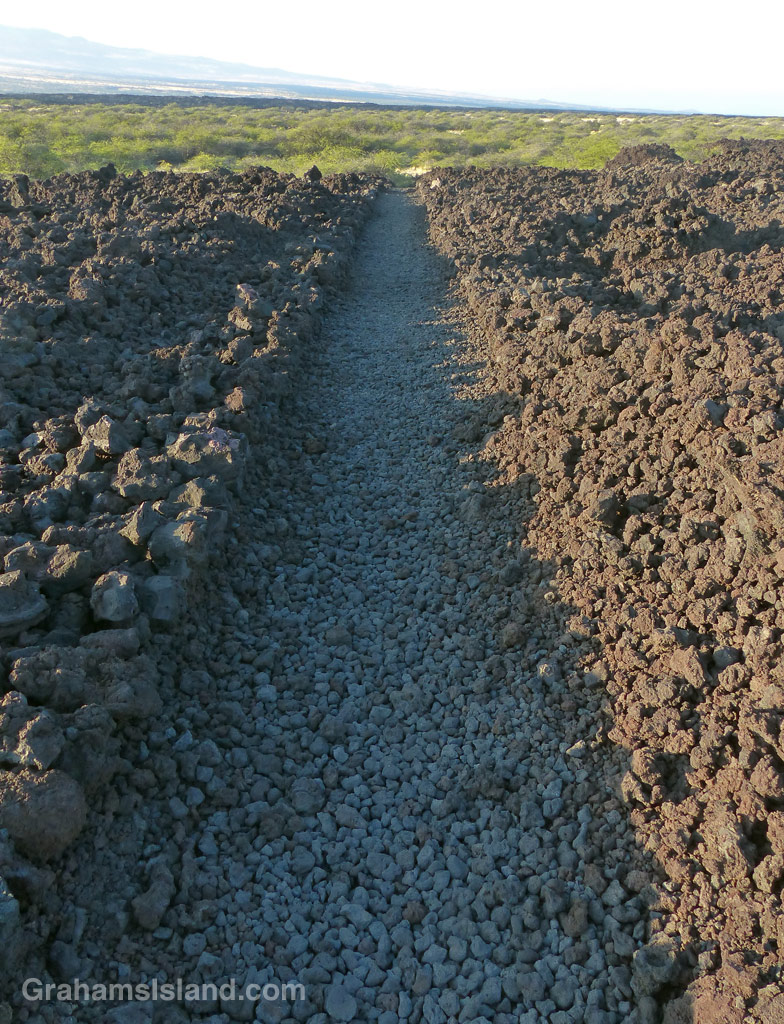
The King's Trail makes a straight shot to the south of Keawaiki.
The King’s Trail makes a straight shot to the south of Keawaiki.
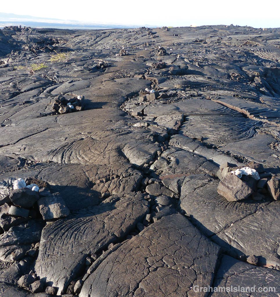
The King's Trail winds over the pahoehoe lava of Mauna Loa's 1859 eruption. The trail is marked by cairns and, in places, the worn surface of the trail stands out from the surrounding lava.
The trail is marked by cairns and, in places, the worn surface stands out from the surrounding lava.
1-6-16-1859-flow-HW
The trail takes a turn.

This hike is the first half of a loop from inland of Keawaiki Bay, south on the old King’s Trail to Kiholo, returning along the coast.

I was on the trail before 8 a.m. because the lava fields become very hot as the day wears on. The trail started out dead straight, with rock wall sides, until it reached a scrubby tree growing in the path. I figured it would pick up again on the other side, but this marked the boundary of the lava flow from Mauna Loa’s 1859 eruption, which destroyed fishponds and a village on the coast near here.

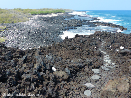
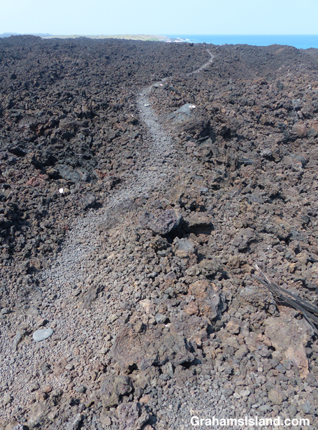
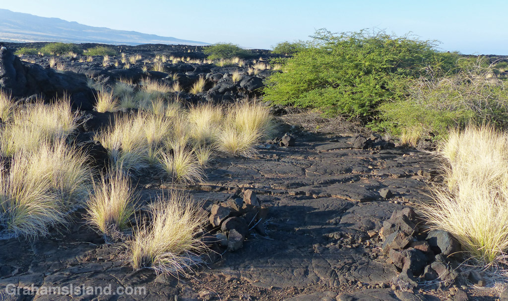
Instead, the trail wound over and around hummocks of pahoehoe lava and the way was marked mostly by cairns. Pahoehoe lava tends to be fairly smooth and rounded and is relatively easy to walk on, but still requires attention. It’s a matter of a moment’s inattention to end up jamming a foot into a crack and turning an ankle or worse. It’s also very easy to spot the next cairn, wander in its direction, then suddenly realize you don’t see any more because the trail has veered off to avoid some hole ahead or take advantage of easier going.

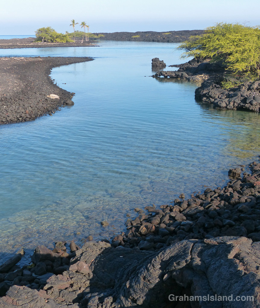
The tranquil waters of Kiholo Bay.

This is a stark landscape, unrelenting lava with occasional shrubs and tufts of fountain grass. But I like the history of the trail, its connection to the early days of Hawaii.

The distance to Kiholo is a little under 3 miles and I was plenty hot by the time I got there. But at Kiholo there’s shade to be found and the opportunity for a swim. I’ve snorkeled at Kiholo before, but it’s not the greatest. Freshwater springs make the water cloudy and cool.

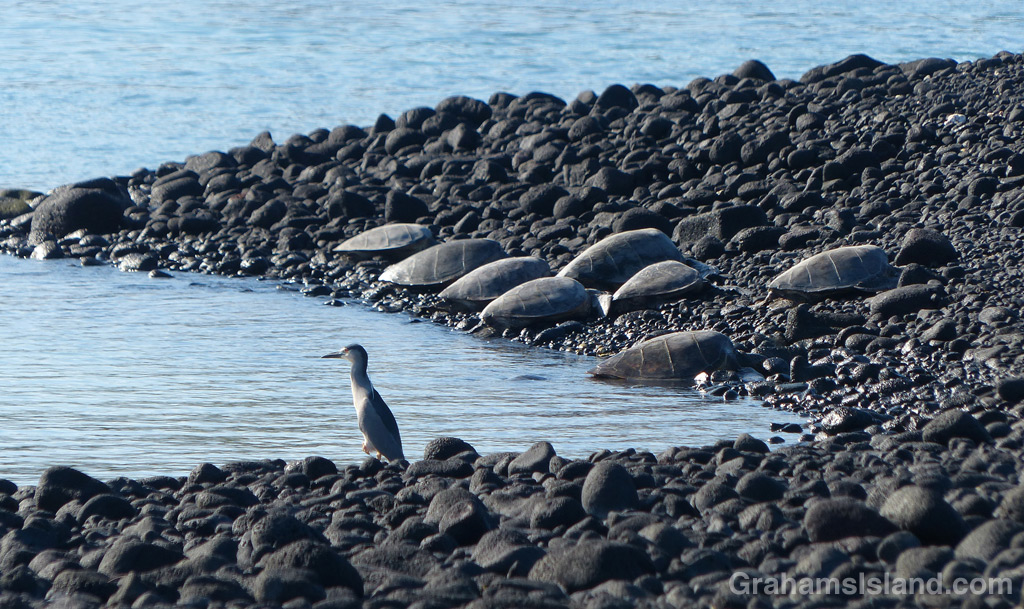
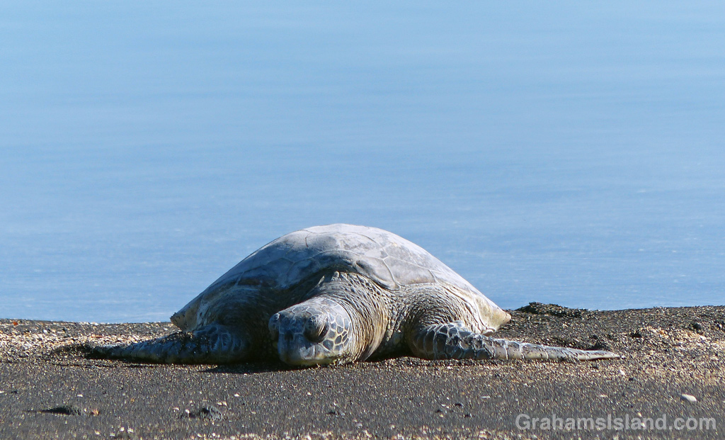
There’s a blue Kiholo Bay Fisheries Management Area sign where the coast trail almost doubles back on the one I’d arrived on. This lightly marked trail winds around a bay rich with wildlife, most notably green sea turtles. Usually they’re hauled out on the spit that forms the outer part of the bay. This day was no exception. A cluster of 8 turtles had lumped ashore near the tip of the spit, watched over by a guardian heron. Others were scattered in ones and twos up the inside of the spit. I hiked down the length of the spit enjoying the welcome sea breeze and taking photos, making sure not to disturb the turtles. Then it was time to head north again. (For the return hike, click here)

For more info about this, and other hikes on the Big Island, go to bigislandhikes.com. (The hike is listed as Kiholo to Keawaiki, starting from the south.)

A heron stands watch while green sea turtles rest on shore at Kiholo Bay,
A heron stands watch while green sea turtles rest on shore at Kiholo Bay.
1-6-16-Green-Turtle-HW
Green sea turtle resting on the shore at Kiholo Bay.