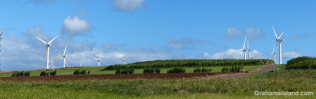
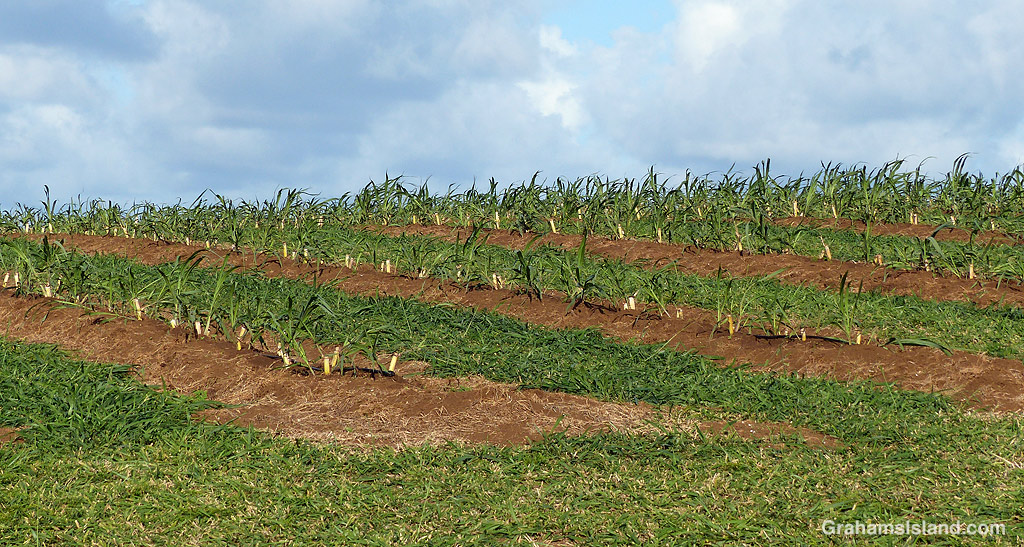
 Hawi is the northernmost town on the Big Island. Together with Kapa’au, two miles to the east, it’s the main population center in North Kohala. This area was a center of sugar production from the mid 1800s to the early 1900s. Today, it’s geared towards tourism and agriculture.
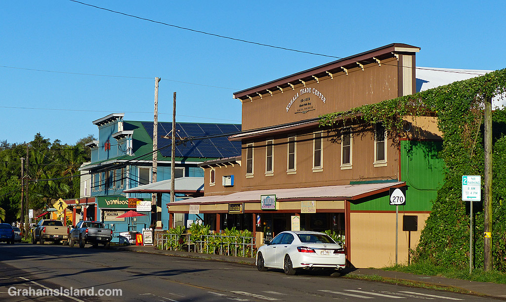
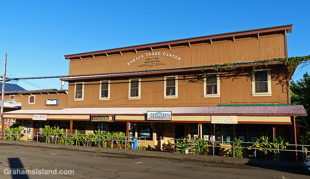
Hawi’s population of around 1,000 is mostly located in areas above or below Akoni Pule Highway, which is the main road through town. The highway itself is where commercial activities are found, as seen in these photos.
In the top photo, the blue building houses the Bamboo Restaurant. This was the former home of K. Takata Store, the area’s main grocery store, which now occupies a newer building midway between Hawi and Kapaau. On the right of this photo is a vine climbing up a pole and along the power lines. I’m not sure what this vine is, but it’s everywhere, and periodically workers from the power or phone company pass through and hack at the lower reaches of it, killing off the higher parts engulfing the wires – at least until it (very quickly) grows back.
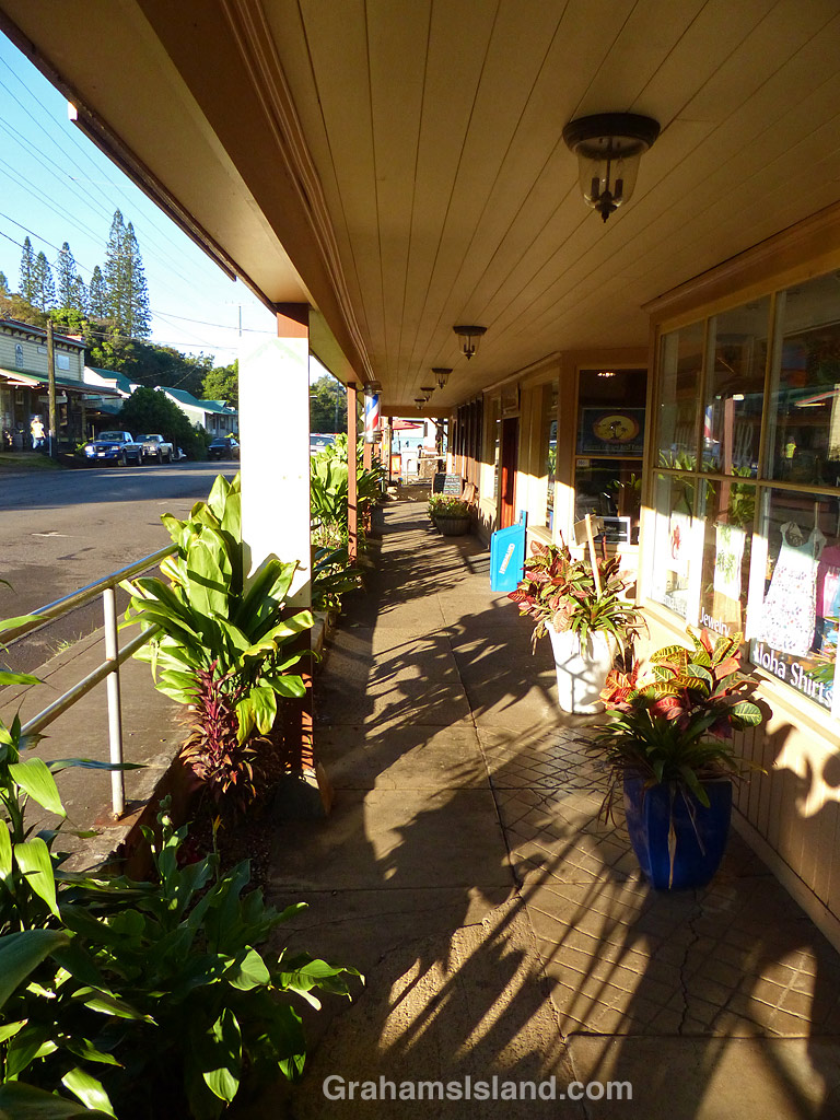
The Kohala Trade Center building is home to several smaller businesses and features the covered walkway at right which passes by the storefronts lining the street, but slightly below street level.
For its size, Hawi is quite a bustling place, popular with tourists and with a strong local community. But it’s also the kind of place where a person can ride a horse through town and not be considered unusual or out of place, and I like that quite a bit.
Posted in response to this week’s Sunday Stills challenge on the theme of ‘In Your Town.’ See more responses here.


 This week’s Sunday Stills challenge theme is ‘Window.’ (See more responses
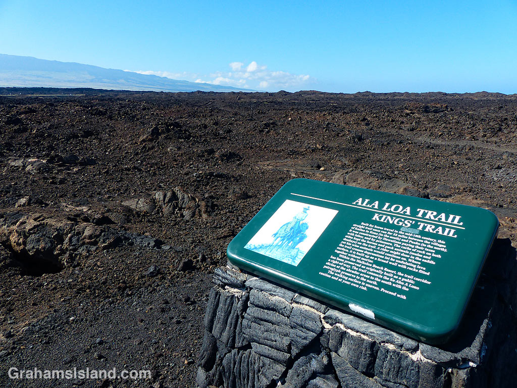
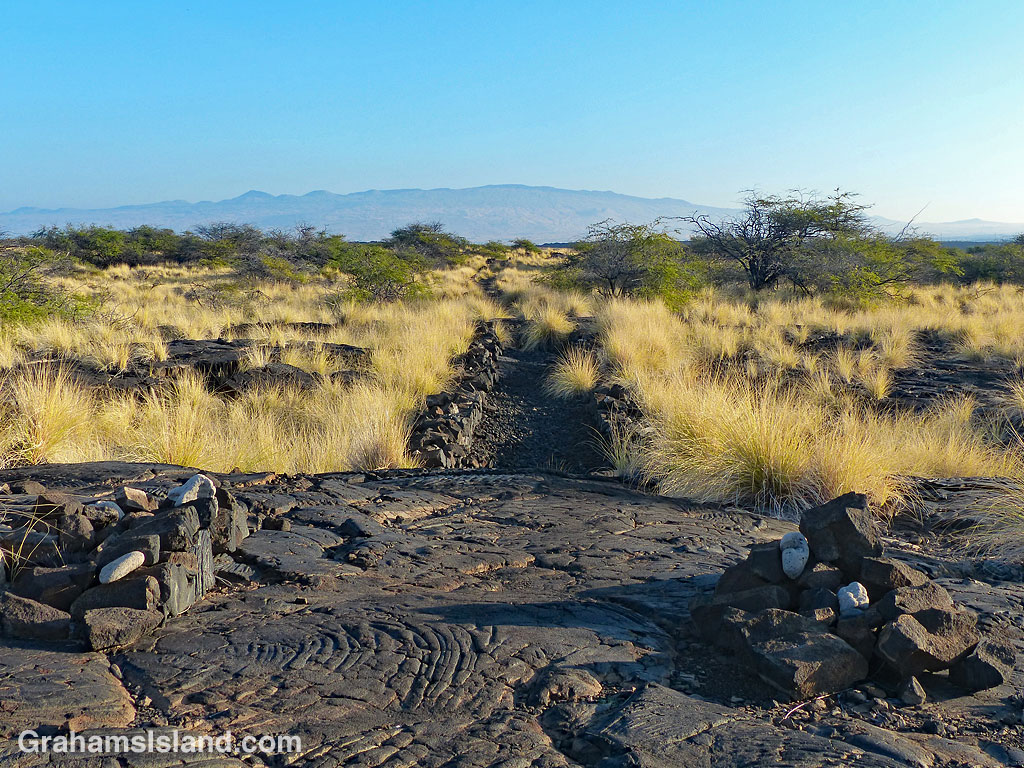
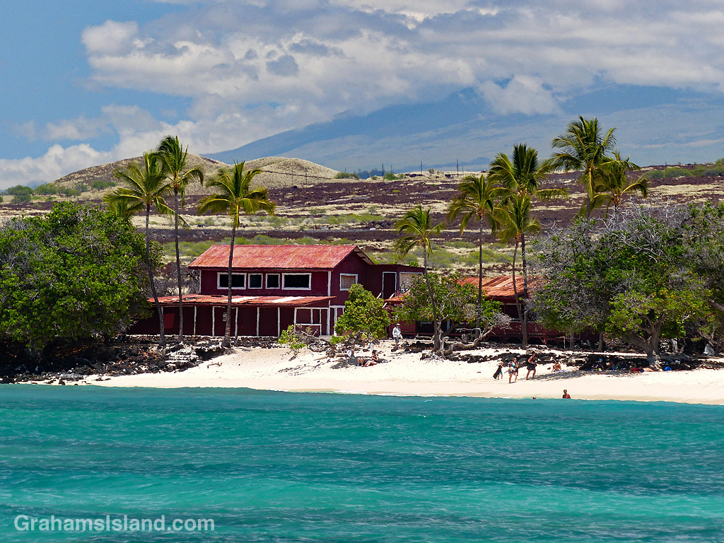
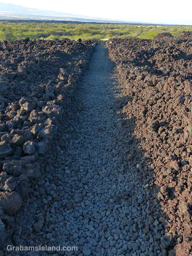 The Kings’ Trail, is more properly known as the Ala Kahakai Trail (shoreline trail) or the Ala Loa Trail (long trail). The trail was created in the 1800s and stretched 175 miles from Upolu, at the northern tip of the island, down the west coast and up the south coast, to Kalapana in the southeast corner.