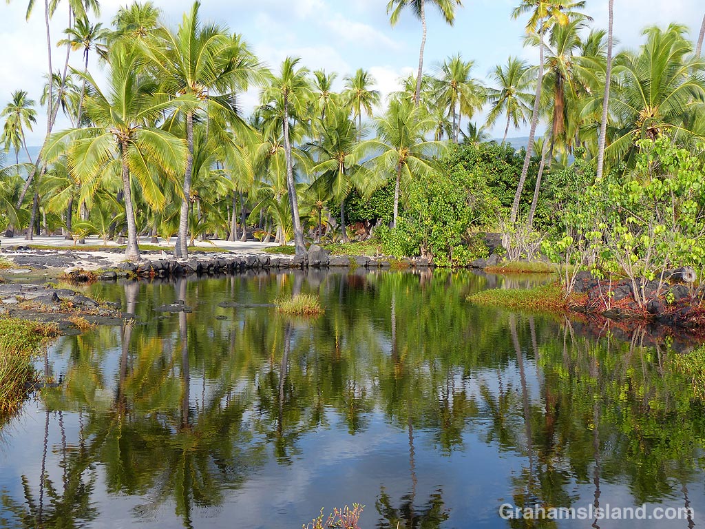
 This week’s Sunday Stills challenge theme is ‘Time.’ (See more responses here.) I had a couple of thoughts about this. The first is that the state of Hawaii is a kind of geologic timepiece. The Hawaiian islands exist because a magma source known as the Hawaii hotspot generates volcanic activity. This creates underwater seamounts that eventually break the surface to form new islands. Such a process is currently taking place with Lōʻihi Seamount, off the southeast coast of the Big Island. It’s about 3,000 feet below the surface but, if it continues its present activity, it will rise above sea level in another 10,000 to 100,000 years.
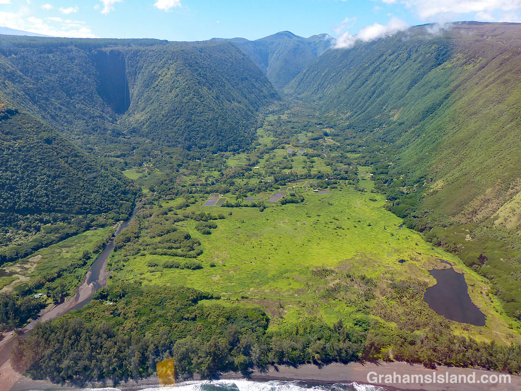
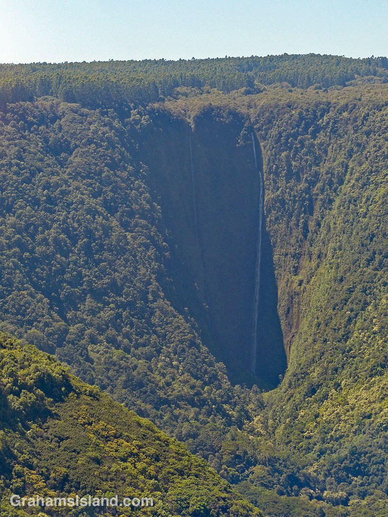
But if Hawaii is on a volcanic hotspot, why doesn’t it produce one volcano that just gets bigger and bigger? Well, the tectonic plate on which Hawaii sits is in constant motion to the northwest. So the volcanic activity generates an island, but as the plate moves, that island edges away from its creative source and the volcanic activity ceases. What happens then is that the winds and waves begin a long process of erosion until that island is reduced to an atoll and finally disappears below the ocean’s surface. We’re not talking months here. We’re talking millions of years for this process to take place.
Look at a map and you’ll see this chain of Hawaiian Islands stretching away to the northwest, the islands or atolls becoming progressively smaller until they disappear and return to being below-surface seamounts. And while I say this is a slow process, it can also be speedy. In October of this year, Hurricane Walaka ripped through the French Frigate Shoals, part of the northwest Hawaiian chain. Its passage completely removed the second largest island in the group, East Island, from the map. Researchers had been working there before the hurricane struck. After its passage, it was gone (more info here).
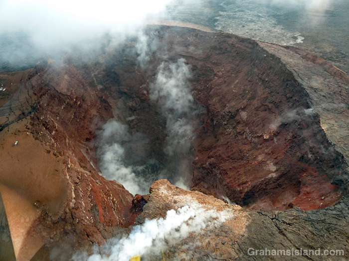
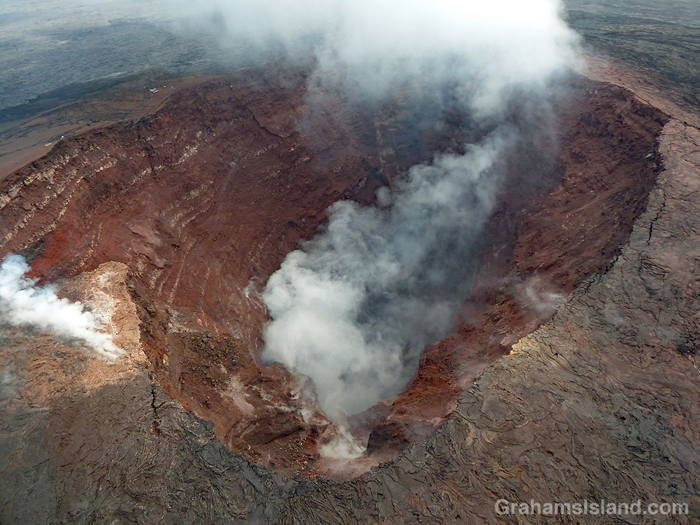
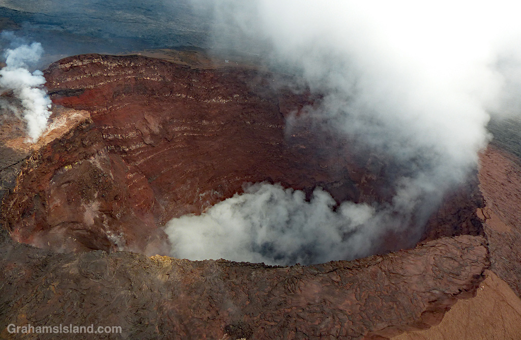
So Hawaii is an example of the geologic passage of time. But there’s another aspect of our view of time that is illustrated here. The photos are of Kilauea’s Pu’u O’o vent. Kilauea is one of the planet’s most active volcanoes and the Pu’u O’o vent had been more-or-less continuously active since 1983. Then, in May of this year, the activity in this vent, and in the summit vent at Halema’uma’u Crater, ceased. The magma drained from these places and traveled down the east rift zone of the volcano before emerging in a residential subdivision, Leilani Estates, in the southeast corner of the island. This new eruption produced a lava flow that reached the ocean, destroying more than 700 structures en route, but adding hundreds of acres to the Big Island coastline.
What’s the time aspect of this? Well, it’s part of the geologic time process noted above. But there’s another way of looking at it. Kilauea has been erupting so long and so regularly that it’s been a little bit taken for granted. “Oh, lava’s flowing into the ocean? You know, I’m really busy right now. I’ll catch it later.” “The summit vent is spilling onto Halema’uma’u Crater’s floor? I’ll check that out next time I’m down that way.”
I consider myself fortunate that I got to see the firehose of lava entering the sea after a cliff collapse (here). Next day, following another cliff collapse, it was no longer visible. And in April of this year I went down to see the summit lava lake (here) bubbling up to the crater floor and visible from Jagger Museum. Two weeks later, the level had dropped a thousand feet. It continued to fall.
I might never see these things again in my lifetime, but at the time, there seemed to be lots of time to visit. But even events happening in a long, geologic timeframe might occur in the space of a week, a day, even an hour. It’s a reminder to me that each moment is something fleeting, perhaps something special, something to pay attention to.
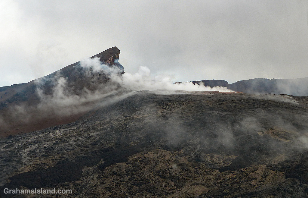
These photos are of Pu’u O’o vent in late September of this year. No lava is visible in the vent, but it’s still hot enough that rainfall generates steam, which is what’s visible here. It was quite dramatic to pass over this vent, which for 35 years has pumped lava out onto the surrounding landscape.


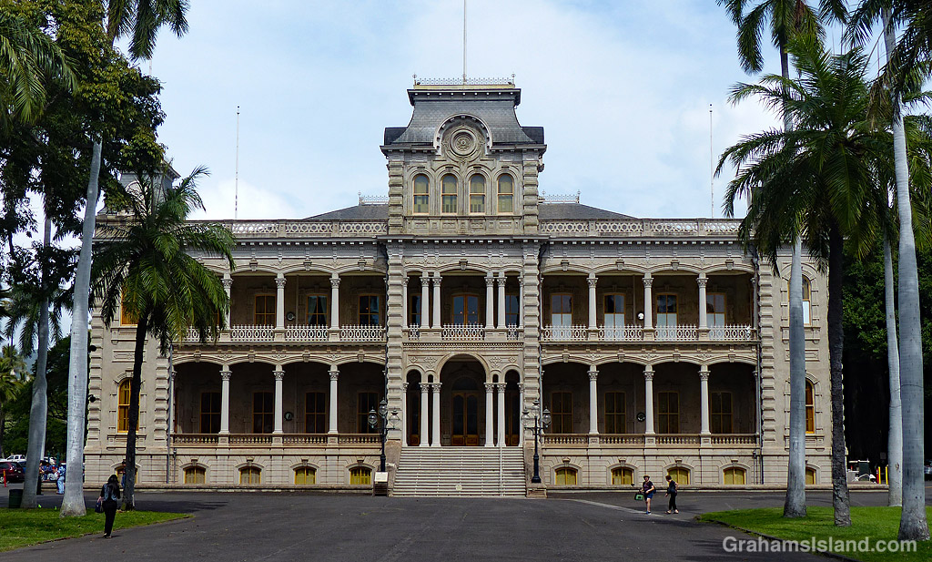

 This week’s Sunday Stills challenge theme is ‘Window.’ (See more responses
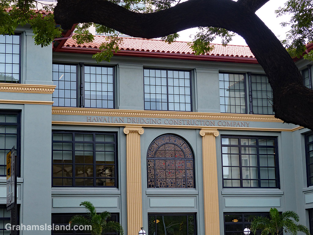
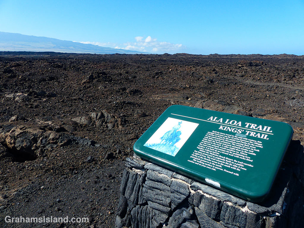
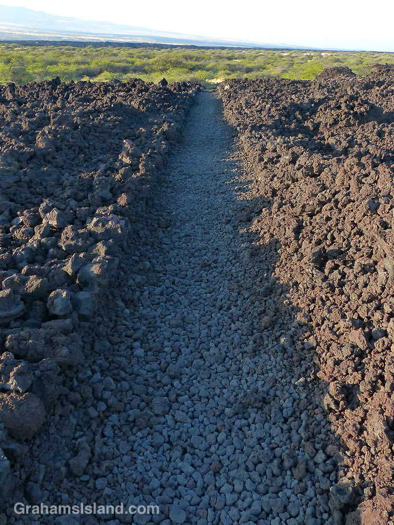 The Kings’ Trail, is more properly known as the Ala Kahakai Trail (shoreline trail) or the Ala Loa Trail (long trail). The trail was created in the 1800s and stretched 175 miles from Upolu, at the northern tip of the island, down the west coast and up the south coast, to Kalapana in the southeast corner.
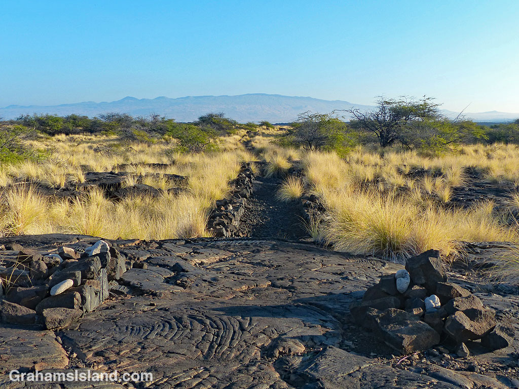
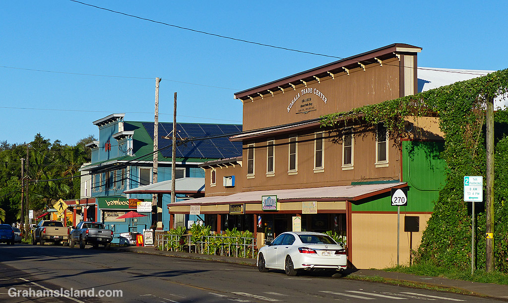
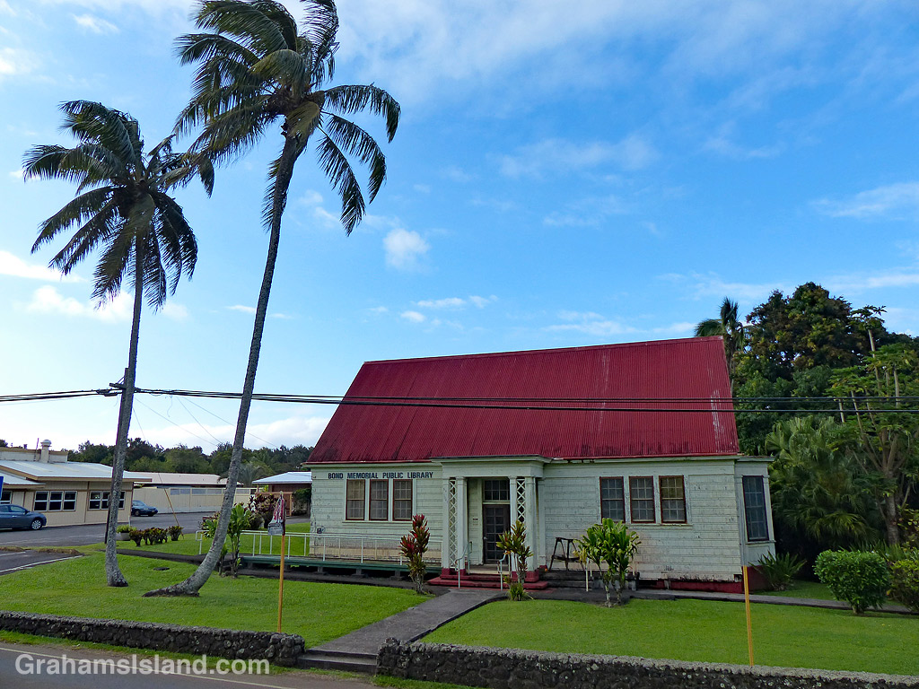
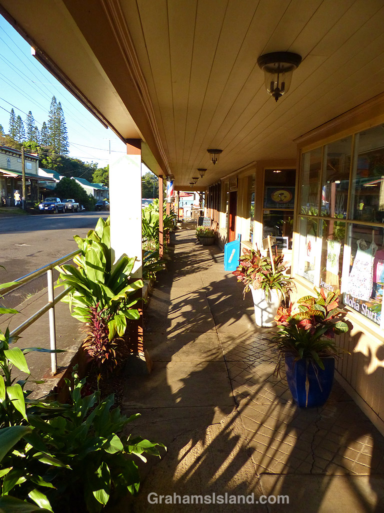 Hawi is the northernmost town on the Big Island. Together with Kapa’au, two miles to the east, it’s the main population center in North Kohala. This area was a center of sugar production from the mid 1800s to the early 1900s. Today, it’s geared towards tourism and agriculture.
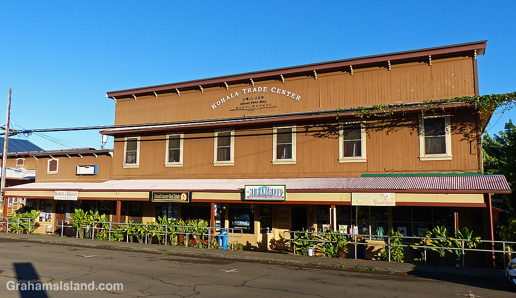
 This week’s Sunday Stills challenge theme is ‘Bucket List Images.’ (See more responses