
A nene takes to the air at Upolu, before heading away eastwards.
Posted in response to Becky’s January Squares challenge theme of ‘Up.’ See more responses here.

A nene takes to the air at Upolu, before heading away eastwards.
Posted in response to Becky’s January Squares challenge theme of ‘Up.’ See more responses here.

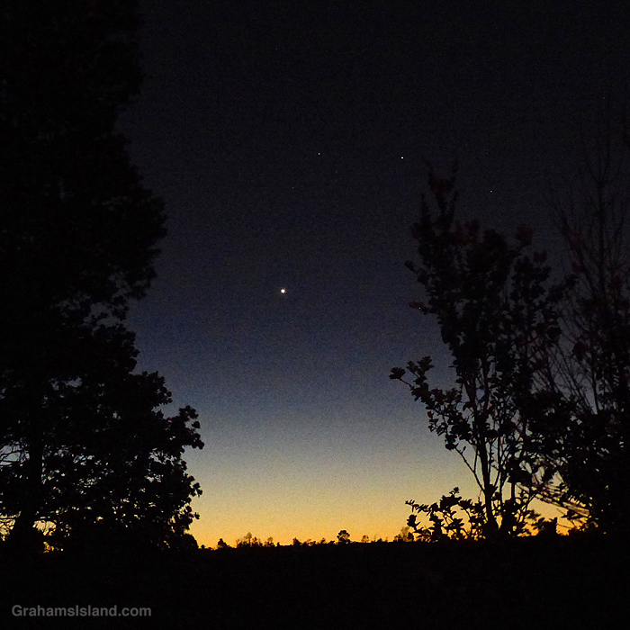
This week’s Sunday Stills challenge theme is ‘Night.’ See more responses here. Also posted in response to Becky’s January Squares challenge theme of ‘Up.’ See more responses here.
On December 21st of last year, I went down to the coast to get a clear view of the ‘Christmas Star.’ This event was the closest coming together of the planets Jupiter and Saturn in almost 800 years. This isn’t to say that the planets themselves would be closer, but from our planet, they would appear so, so close that they would seem to be a single large ‘Christmas Star.’
I got down to the coast before sunset and stayed until it got dark enough that I knew I wouldn’t get more decent photos. I knew my best shot would be with some foreground still visible. The top photo is the best I could do with my camera. The two planets can clearly be seen close together, but with a sliver of late evening sky between them.
I headed home, downloaded the photos, and went to bed not long afterwards. Why the early night? Well, the next day I planned to drive over to see the new eruption at Kilauea Volcano, in the pre-dawn darkness, which required a 1 a.m. start. (That story can be found here.)
It was as I was wrapping up taking photos of the eruption that I turned to see the eastern horizon lightening. But there were still some stars visible in the sky and the brightest light of all was the planet Venus. That’s when I took the second photo before heading back to the car to start the three hour trip back home.

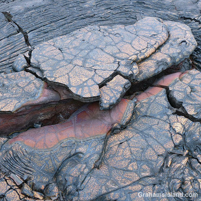
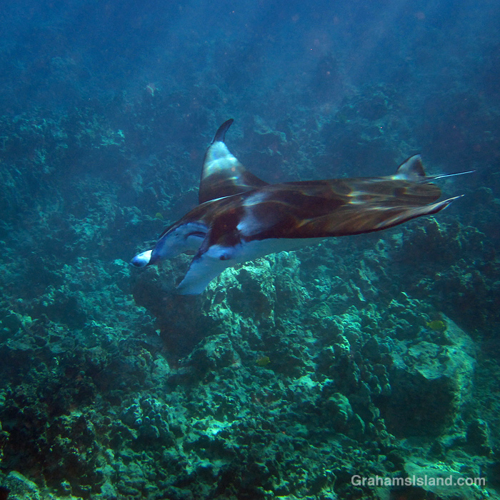
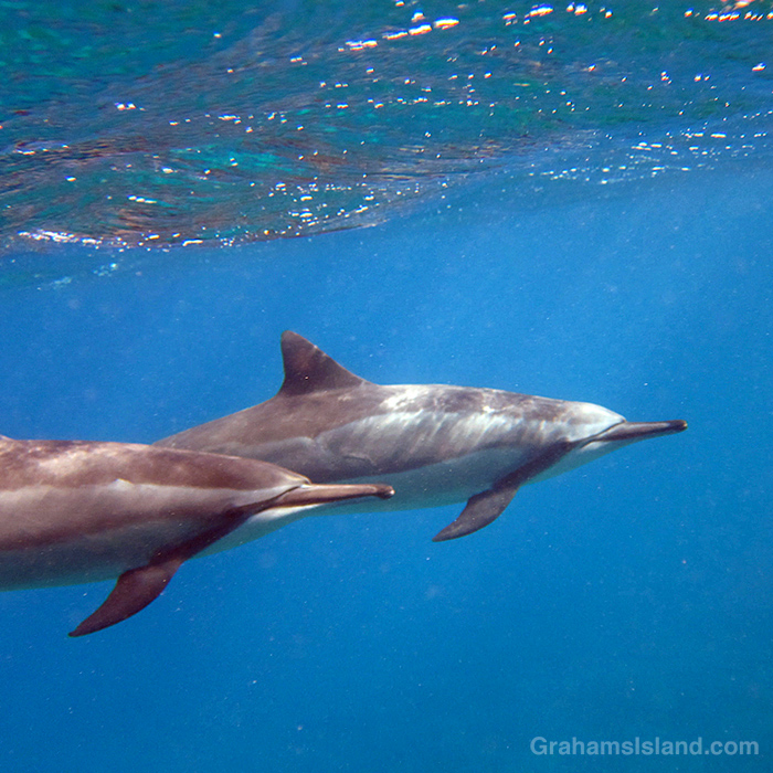
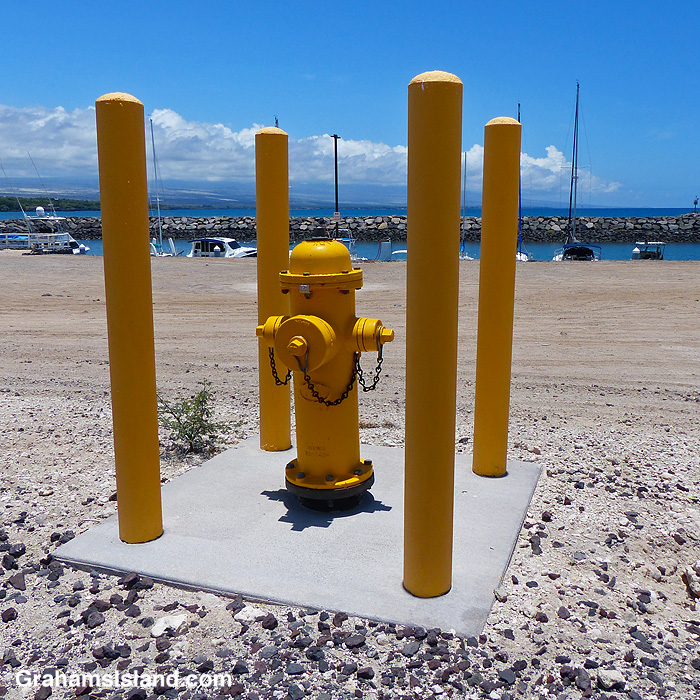
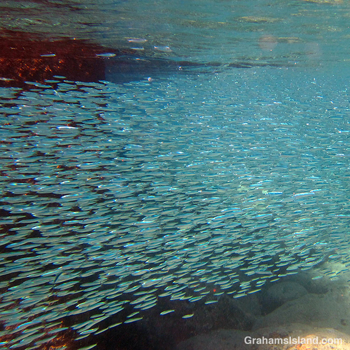
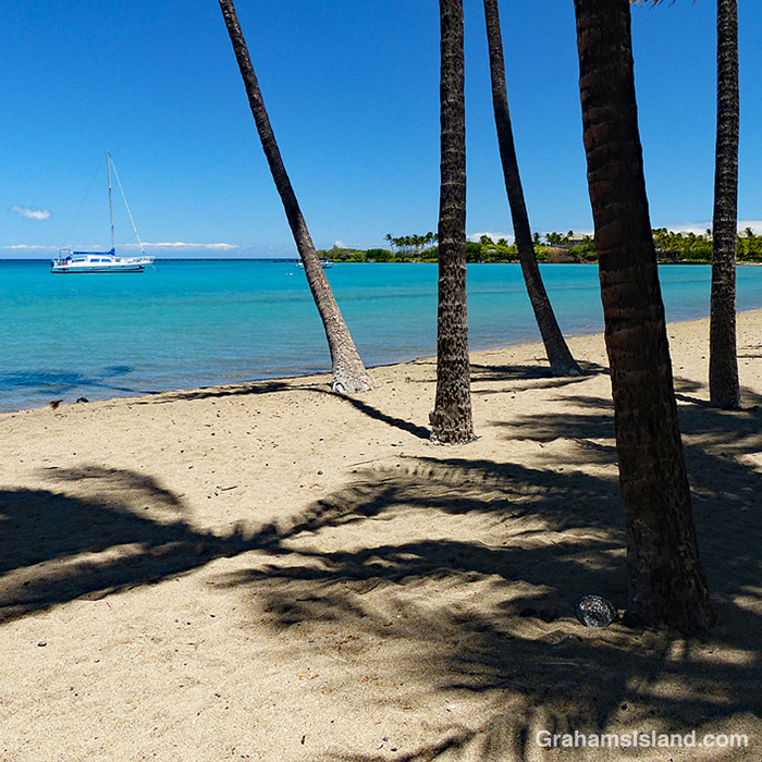
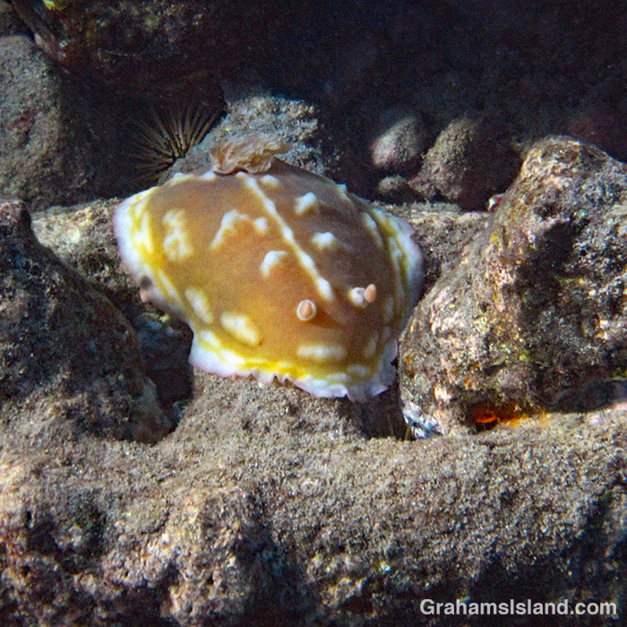
This week’s Sunday Stills challenge theme is ‘Your 2020 Retrospective.’ See more responses here. Also posted in response to Becky’s January Squares challenge theme of ‘Up.’ See more responses here.
In this retrospective I’ve focused on events and photos that were uplifting for me during the difficult year that was. Most of these photos haven’t run before, but were taken at the same time as those in posts that ran in 2020. Links to the original posts are at the end of the captions.
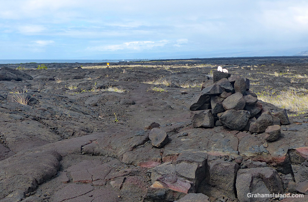

The coastal regions of Hawaii are dotted with tsunami warning signs. Basically, any place within reach of a tsunami gets a sign.
I came across this sign while hiking the Puna Coast Trail in Hawaii Volcanoes National Park. It stood out as a dot of color in a field of lava and scrubby grasses. What I liked about the sign was its sage advice ‘In case of earthquake, immediately go to high ground or inland.’ At this spot, the high ground is inland, so that kills two birds with one stone.
On the other hand, getting to that high ground inland involves scrambling over a mile or more of rough lava. Also, if the earthquake was big enough, it might just mean that you could encounter lava from a new eruption heading down to the coast to meet you. The sign doesn’t offer any advice on what to do then!
For more information about Hawaii Volcanoes National Park, go to nps.gov/havo/.


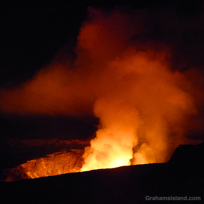
I woke up on Monday morning to the news that Kilauea Volcano had erupted again. Three vents had opened in Halemaʻumaʻu crater at the summit of the volcano. After the first flurry of activity, the eruption settled down to two of the vents pouring lava into the crater, evaporating a water lake that had formed since the 2018 eruption, and creating a new lava lake at a healthy rate.
This obviously called for action on my part in the form of going down and taking a look. Despite the paucity of tourists on the island, early reports warned that viewing areas were becoming crowded with long waits for parking spaces. But where many people prefer to visit in the late afternoon and wait for it to get dark, I like arriving in the wee hours of darkness and waiting for dawn.
Consequently, yesterday morning I got up at 12:45 a.m. (after a relaxing 3 hours of sleep) and left the house at 1:15 a.m.. The benefit of driving at that hour is that, while the sky is dark, traffic is light. In this instance a second benefit was a wonderful starlit drive, though I couldn’t fully appreciate it since I felt a certain obligation to keep my eyes on the road. Driving over Saddle Road though, I did notice a red glow off to my right, a sure sign of volcanic activity at Kilauea.
I got to the park at 3:45 a.m. and headed for the Kilauea Overlook, the prime viewing area. Parking was easy to come by and the crowds weren’t too heavy. While the vents couldn’t be seen from there (or any of the viewing areas) the sky billowed with orange and red clouds of steam and smoke. The second photo was taken there and I like how the glow illuminates the rock face of the crater.
I drove back to the overlook at the Steaming Bluff. This was farther from the eruption site, but virtually deserted. The top photo was taken there. I wanted to capture the eruption and the starry night, which I couldn’t do at Kilauea Overlook because the eruption dominated everything.
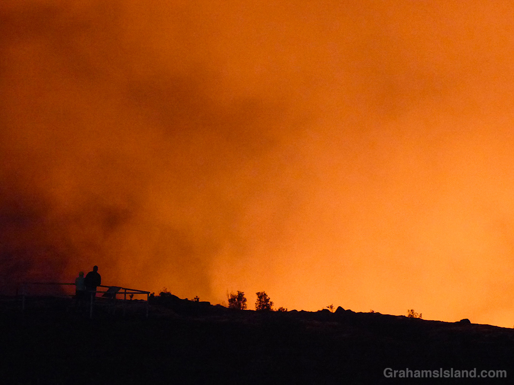
After a short stay there, I moved on to the Keanakākoʻi Overlook at the southeastern corner of the Kilauea summit caldera. This viewing site required a hike in of about a mile on the old Crater Rim Drive, long since closed to vehicles because of damage from previous eruptions. The third photo shows people at the overlook watching the activity. I left there as it started to get light.
So was it worth the early start and long day? Absolutely! The views weren’t as compelling as those from Jaggar Museum, now closed and erased from the online maps, but there aren’t many places on earth where a person can drive to the rim of an active volcano and watch an eruption with any degree of safety. At Kilauea, this is possible, so I take every opportunity to do so because each episode of volcanic activity is different and there’s no telling what I might see.
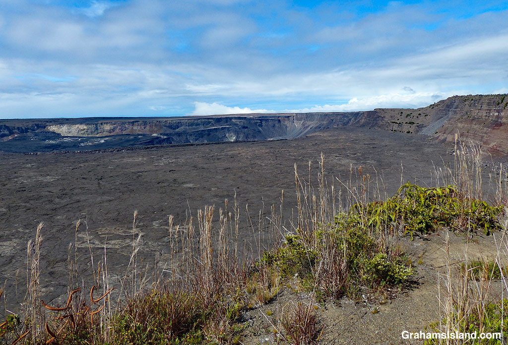
And the bottom photo? That was taken in June when I went hiking in the park. It was taken from the rim of Halemaʻumaʻu crater somewhere between where the top and second photos were taken. They’re a little different!
More information about the current situation at Kilauea Volcano, including photos and videos can be found at https://www.usgs.gov/observatories/hawaiian-volcano-observatory/news. A map of the park can be found at https://www.nps.gov/havo/planyourvisit/maps.htm.
Previous posts about activity at Kilauea Volcano can be found here, here, here, and here.

This week’s Sunday Stills challenge theme is ‘Winter Wonderland.’ See more responses here.
We do get snow here on the Big Island, on the summits of Mauna Kea and Mauna Loa, but there’s none up there right now. However, for those knee deep in snow, shrouded in freezing fog, or sliding on icy sidewalks, I thought these photos might seem like something of a winter wonderland.
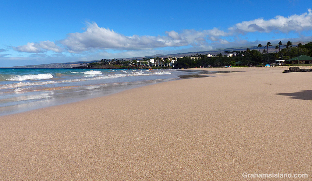
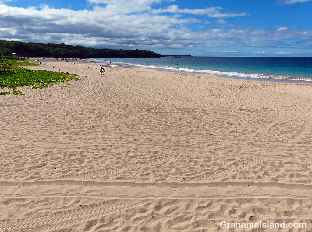
Hapuna beach (officially Hapuna Beach State Recreation Area) regularly features on lists of the world’s best beaches. It’s a long stretch of golden sand across the head of a wide bay with fairly protected waters. Swimming is good, but when waves do roll in, surfers take over.
The top two photos show the view from the south end of the beach. In the second photo, the line of greenery jutting into the beach represents the edge of the State Recreation Area. North of there is Hapuna Resort, which is private, but the beach is still open to the public. The bottom photo shows the view from the north, looking south. The tracks in the sand are from vehicles used in beach maintenance or by the lifeguards who patrol the beach.

When I visited Hawaii Volcanoes National Park in the summer I hiked the Kilauea Iki Trail again. On that occasion, I descended into the crater on the western end and came back up on the eastern end. Shortly after I got up to the crater rim I took the top photo.
The trail continues around the northern rim of the crater and I continued walking. Three minutes after I took the first photo, I came to another overlook into the crater and the bottom photo shows the view I got there, an illustration of how quickly the weather can change in this area.
For more information about Hawaii Volcanoes National Park, go to nps.gov/havo/.


When I pulled in to the parking lot of a local beach park, a flock of mynas was gathered around something on the ground. By time I opened the car door, the mynas were hopping around in a huff because this mongoose had moved in to snatch their spoil.
I suspect the focus of the dispute was rice left over from someone’s lunch, which had been dumped in the lot in the sure and certain knowledge it wouldn’t be there long.

