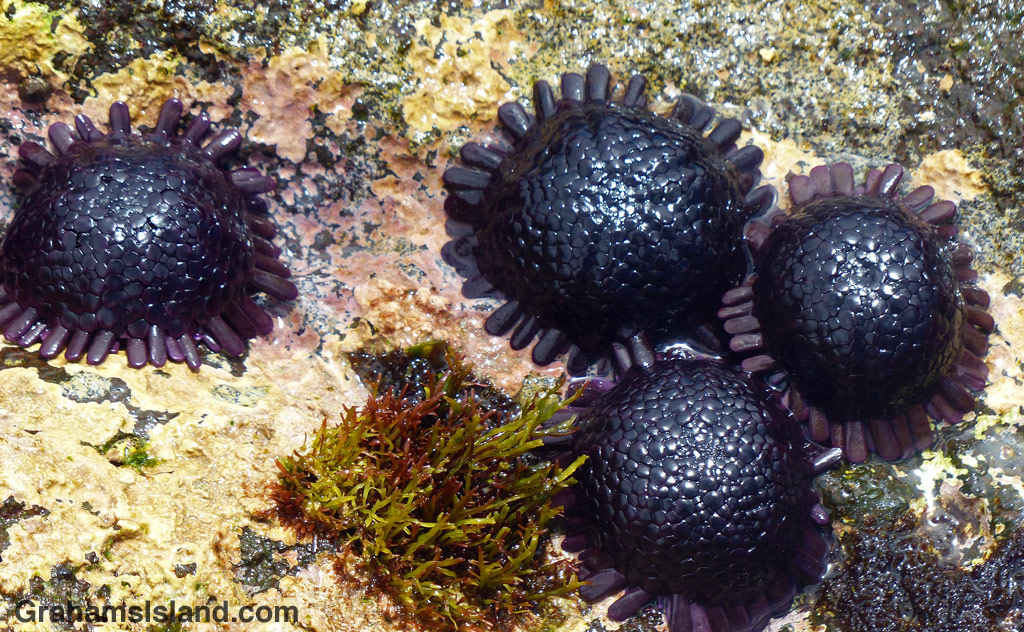
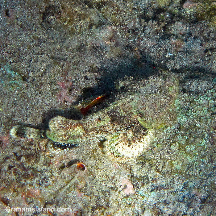
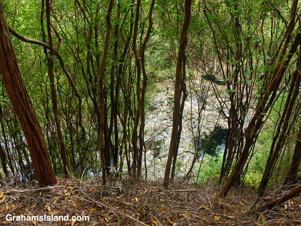
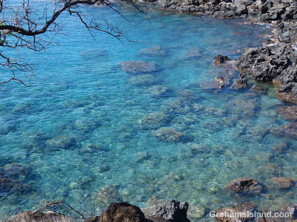
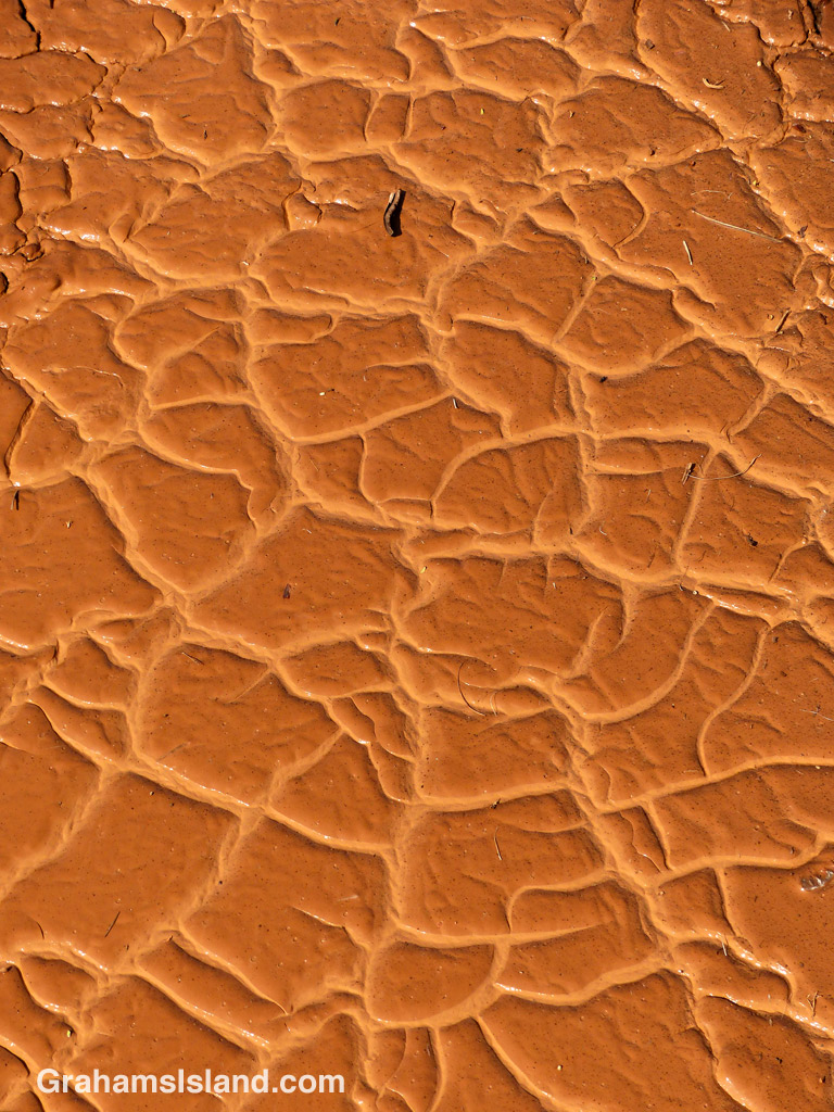
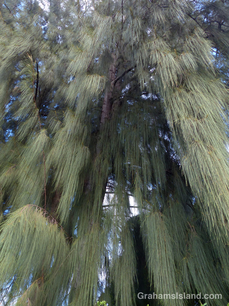
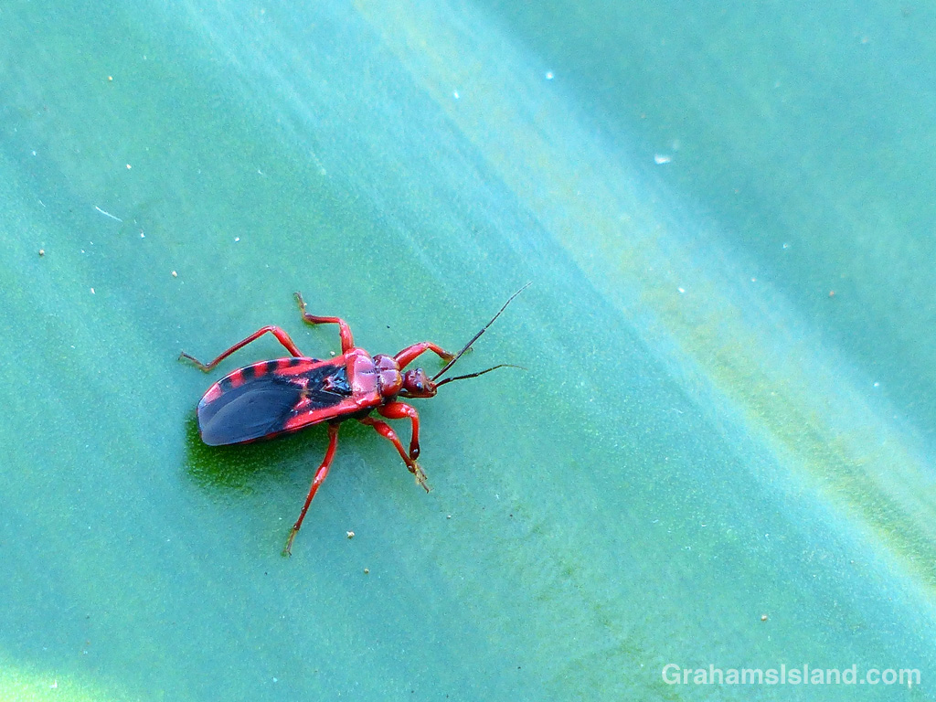
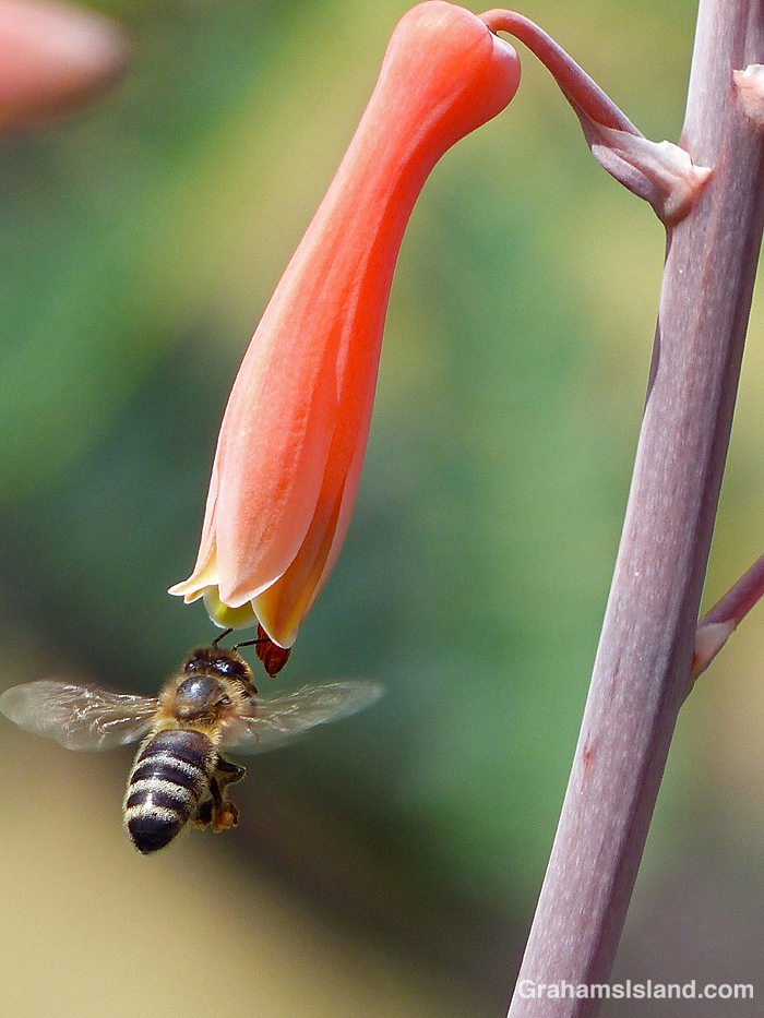
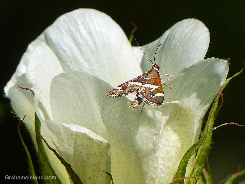
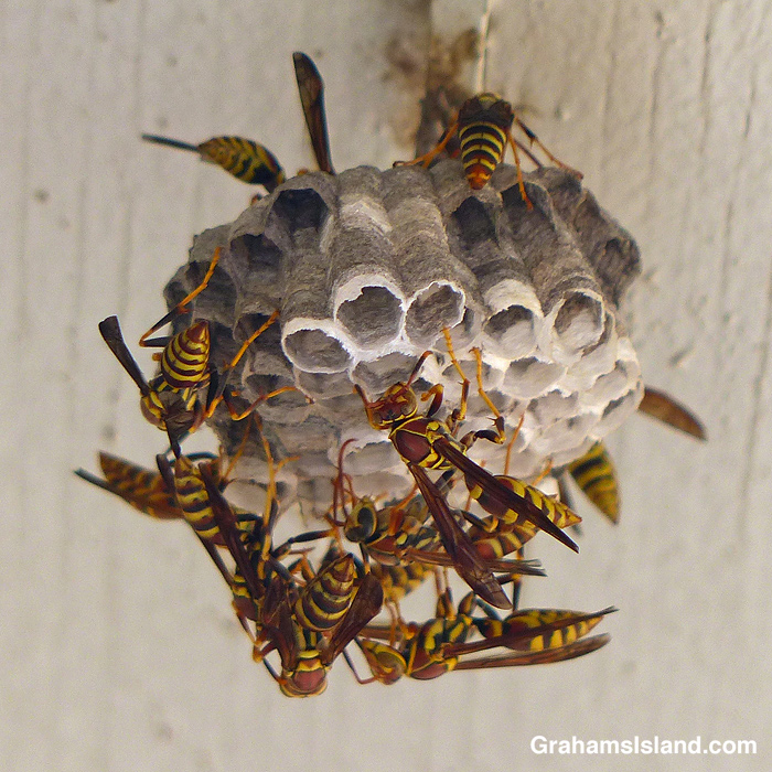
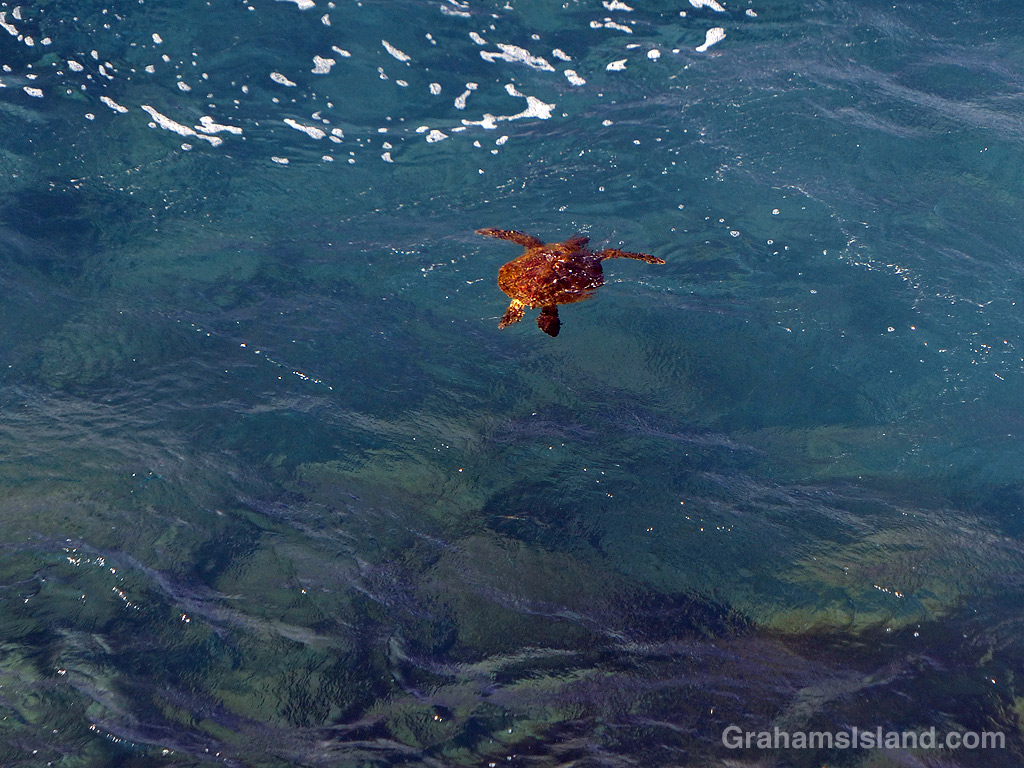
The idea of The Numbers Game is to enter a number into the search bar of your computer and then post a selection of the photos that turn up. This week’s number is 745. Captions are on the photos. You can see more responses here.


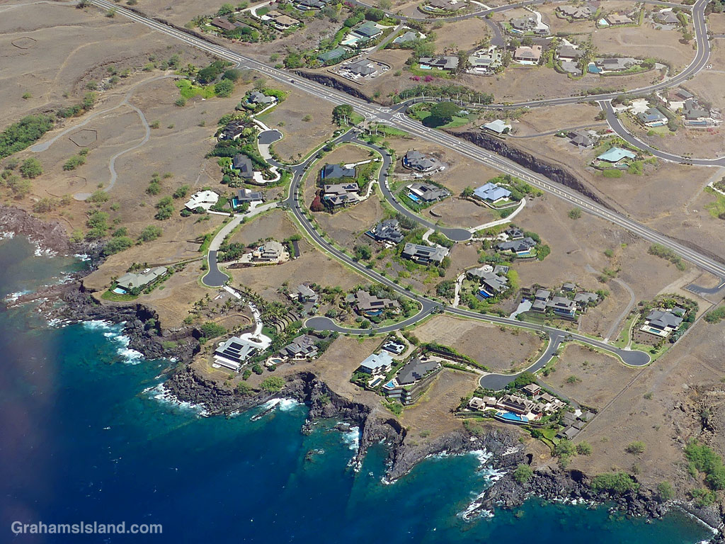
The idea of The Numbers Game is to enter a number into the search bar of your computer and then post a selection of the photos that turn up. This week’s number is 745. Captions are on the photos. You can see more responses here.
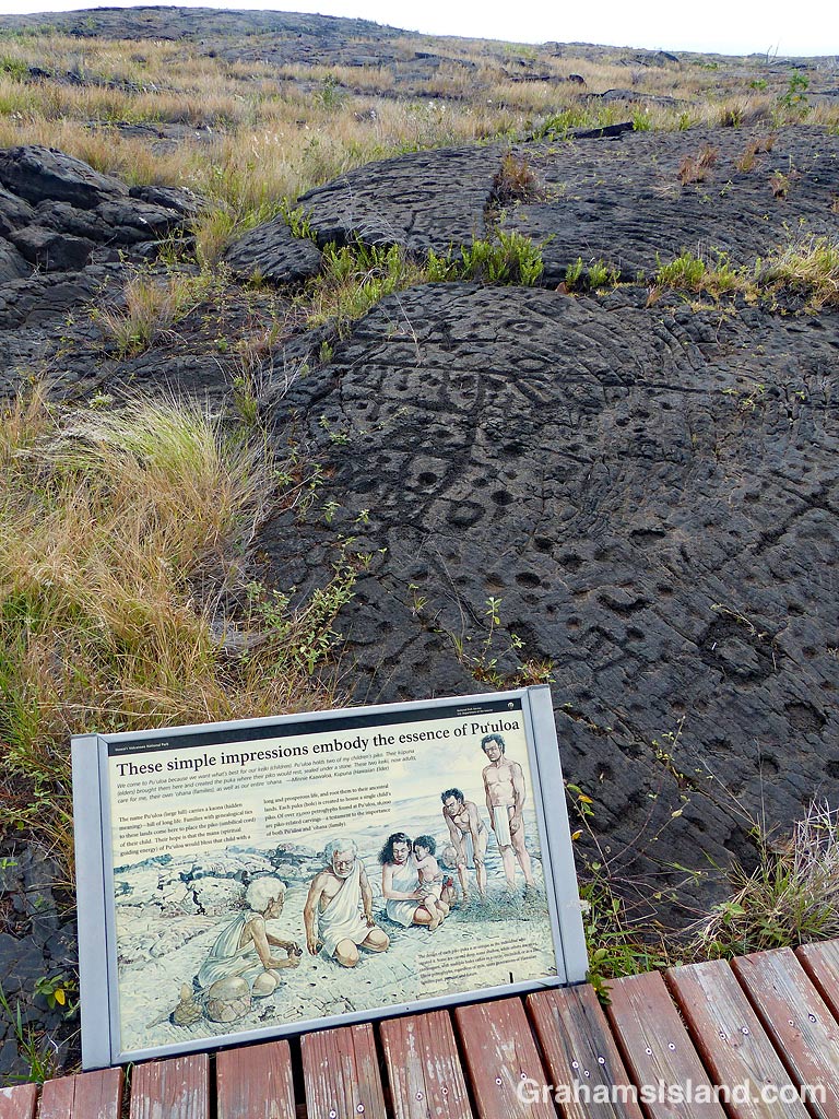
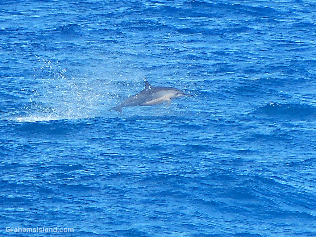
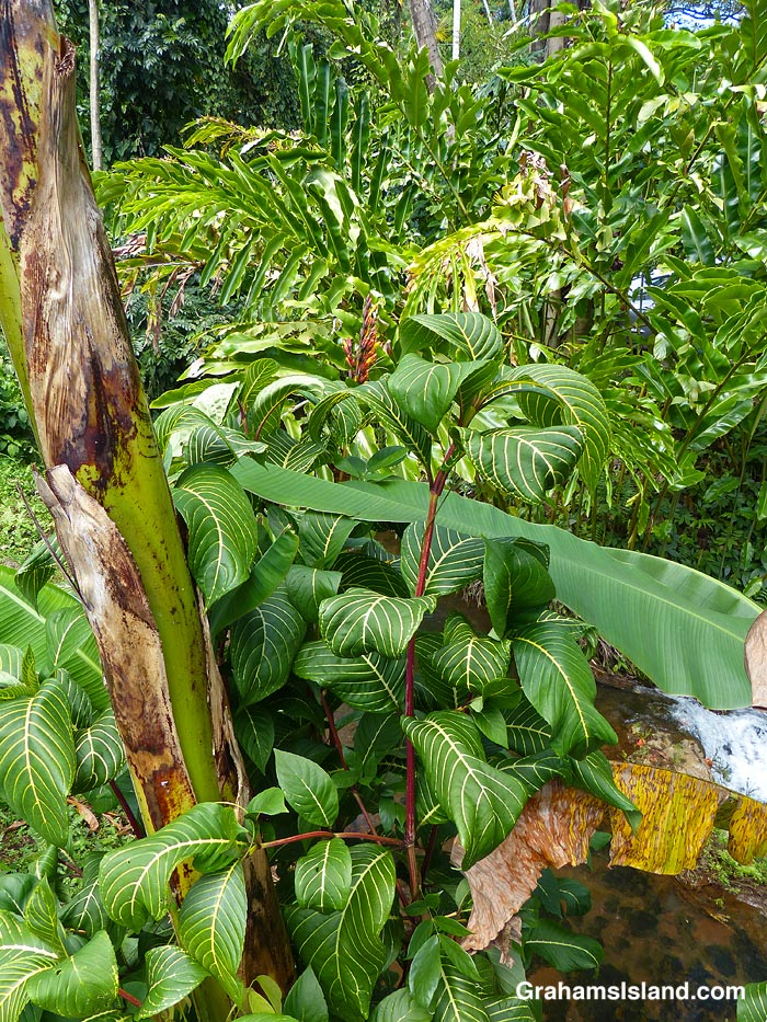
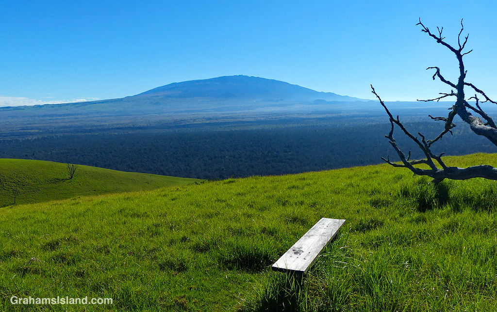
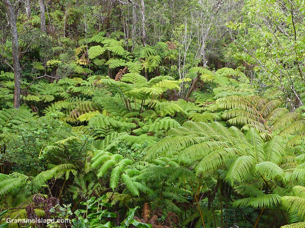
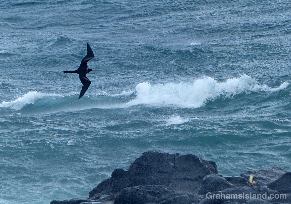
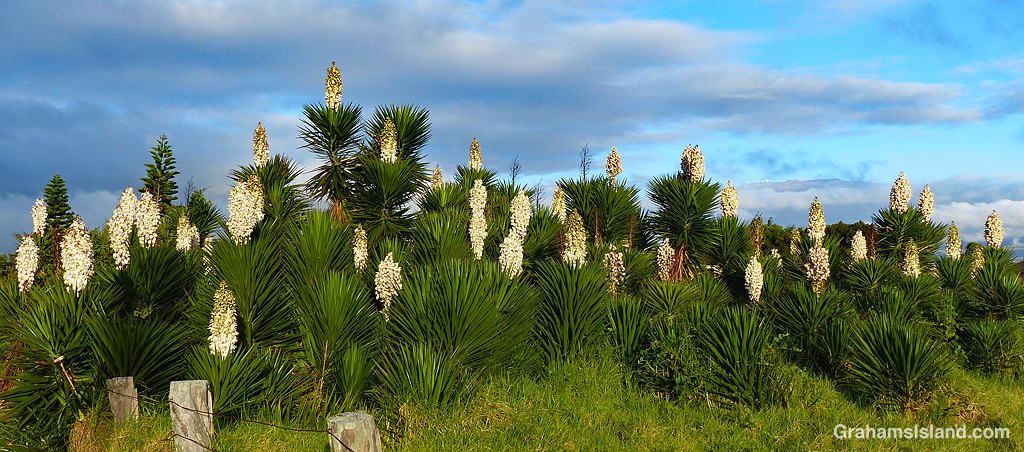
The idea of The Numbers Game is to enter a number into the search bar of your computer and then post a selection of the photos that turn up. This week’s number is 245. Captions are on the photos. You can see more responses here.


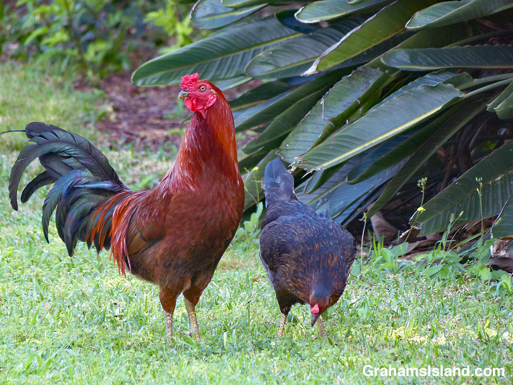
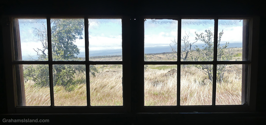
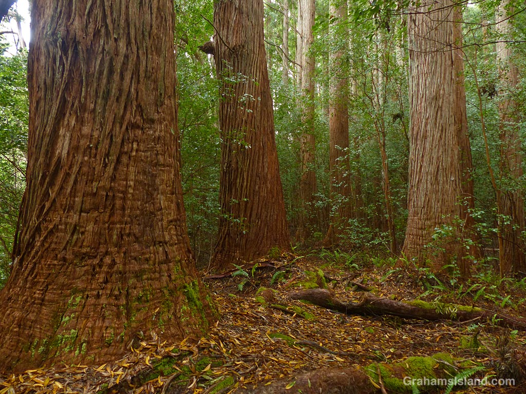
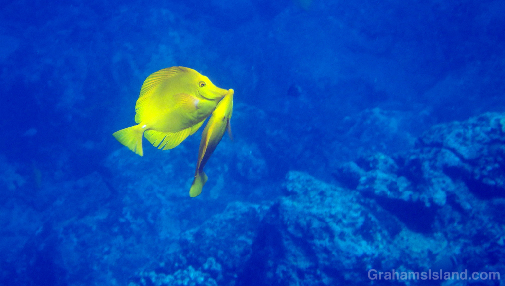
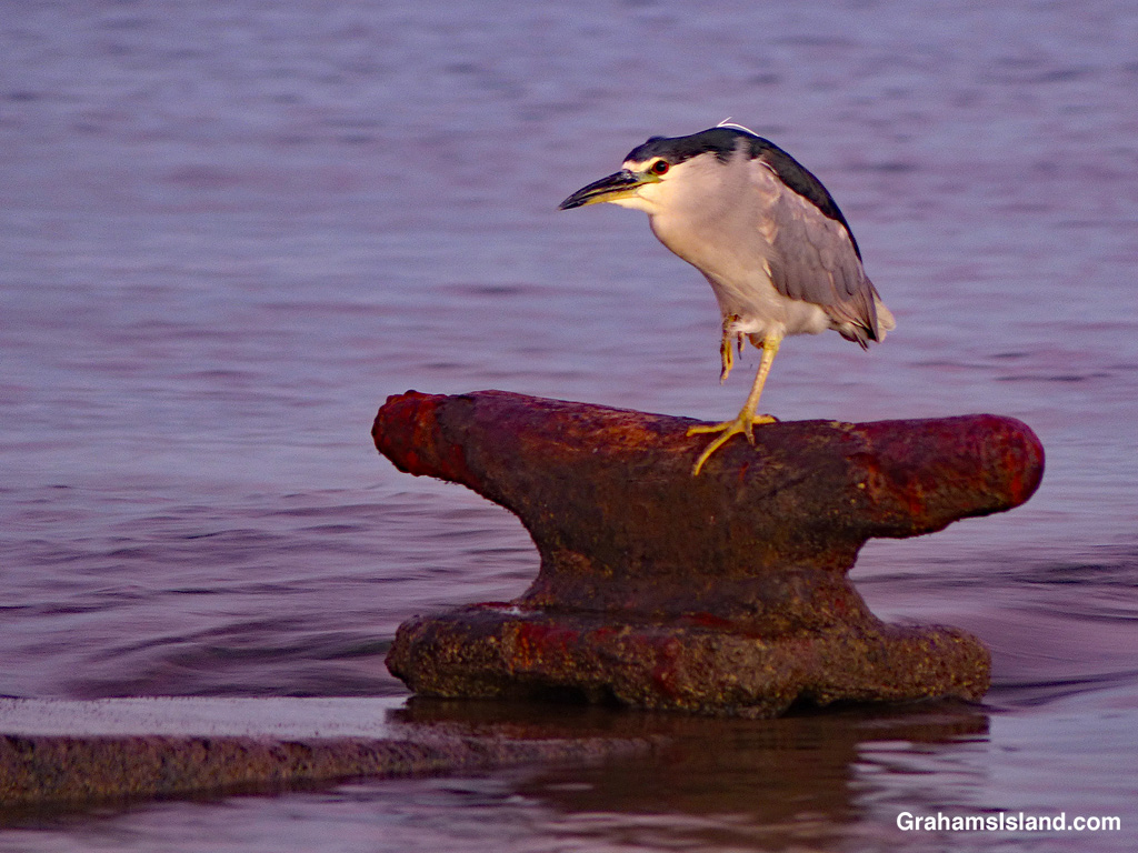
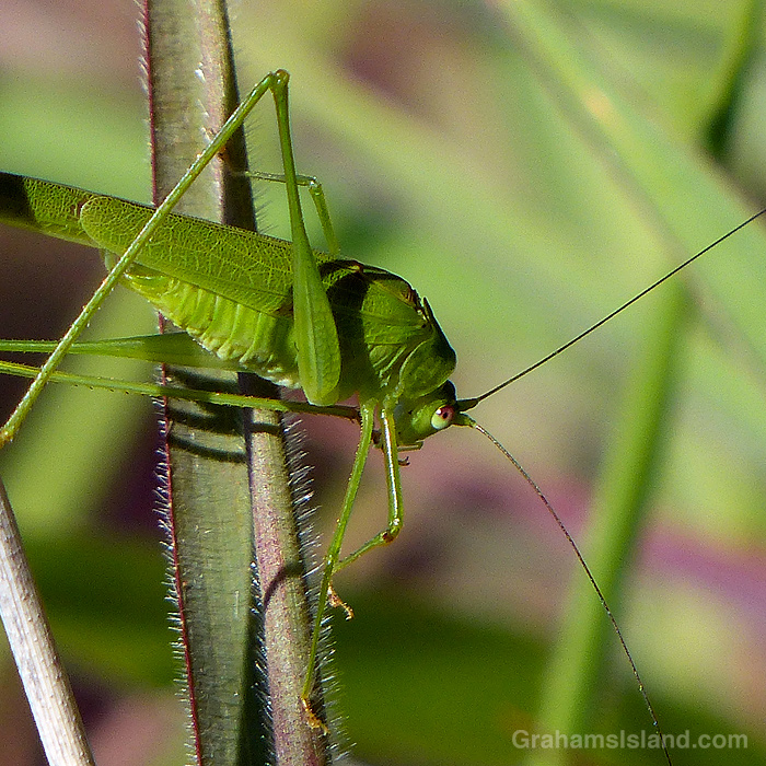
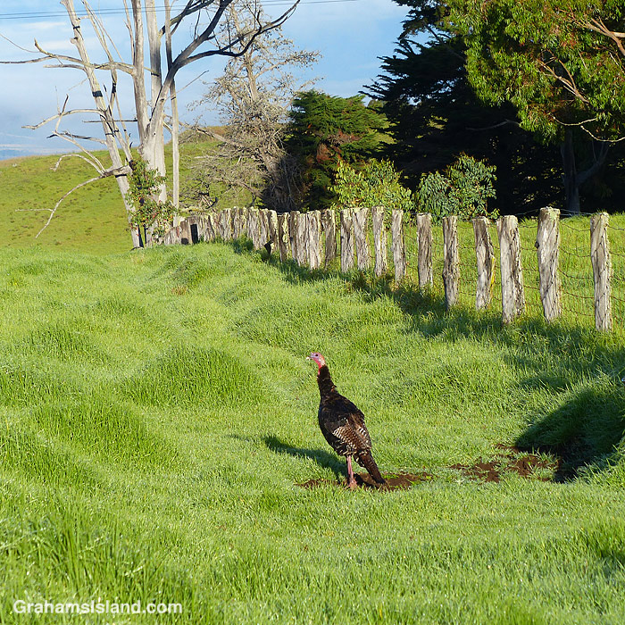
The idea of The Numbers Game is to enter a number into the search bar of your computer and then post a selection of the photos that turn up. This week’s number is 243. Captions are on the photos. You can see more responses here.
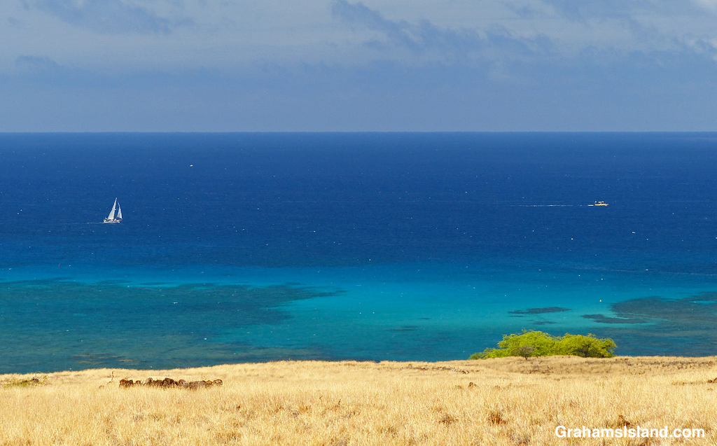
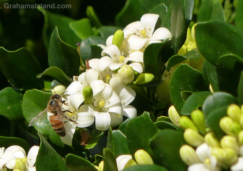
The top photo and the first gallery are photos that haven’t run on the blog before. I don’t know why I never ran the top one, though I had a lot of good photos to choose from that day.


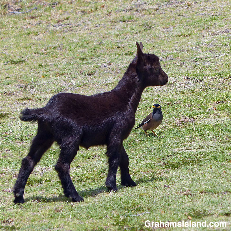
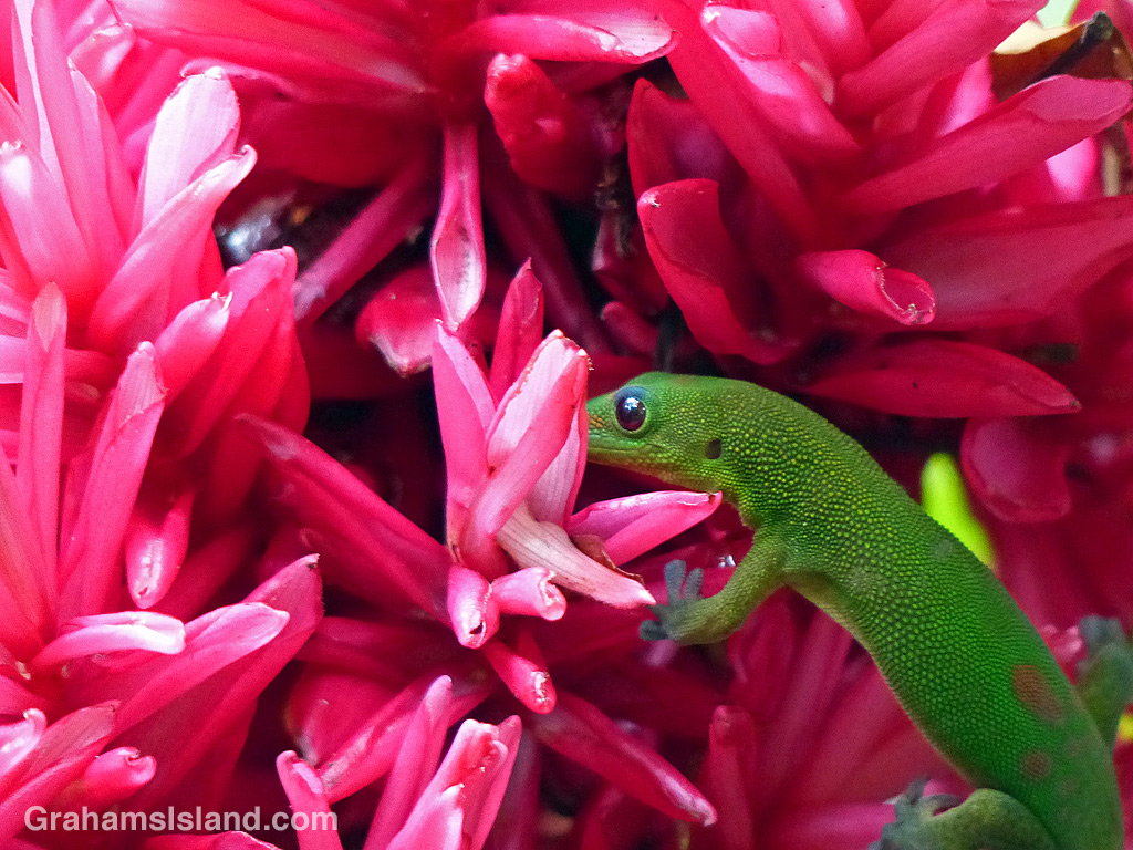
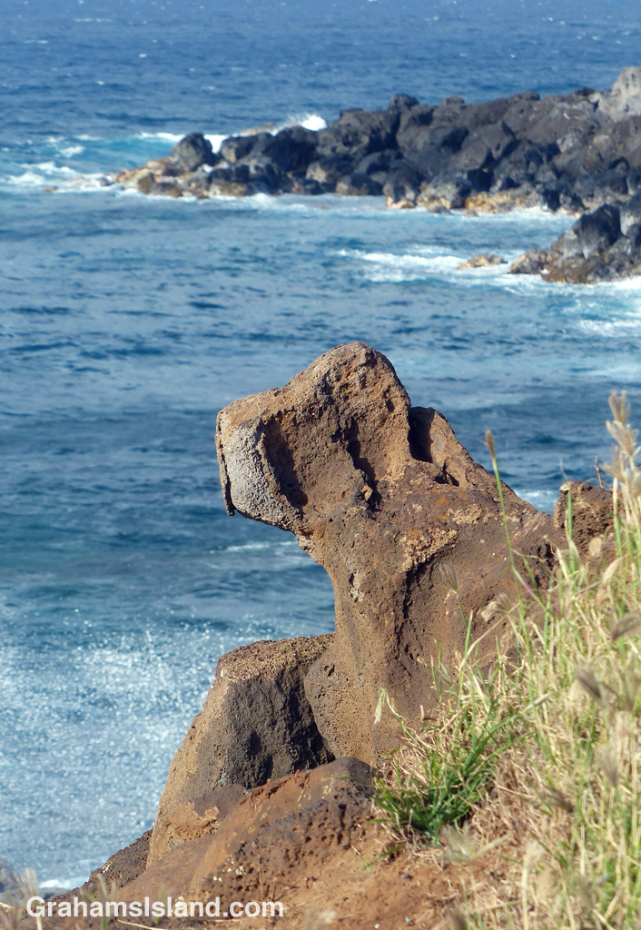
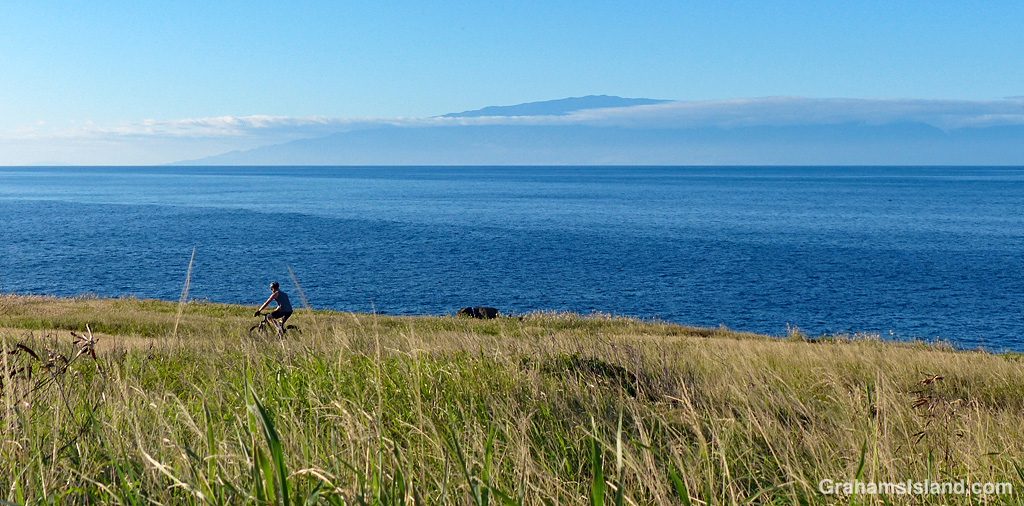
The idea of The Numbers Game is to enter a number into the search bar of your computer and then post a selection of the photos that turn up. This week’s number is 241. Captions are on the photos. You can see more responses here.


The idea of The Numbers Game is to enter a number into the search bar of your computer and then post a selection of the photos that turn up. This week’s number is 237. Captions are on the photos. You can see more responses here.


The idea of The Numbers Game is to enter a number into the search bar of your computer and then post a selection of the photos that turn up. This week’s number is 236. Captions are on the photos. You can see more responses here.


The idea of The Numbers Game is to enter a number into the search bar of your computer and then post a selection of the photos that turn up. This week’s number is 232. Captions are on the photos. You can see more responses here.


The idea of The Numbers Game is to enter a number into the search bar of your computer and then post a selection of the photos that turn up. This week’s number is 215. Captions are on the photos. You can see more responses here.