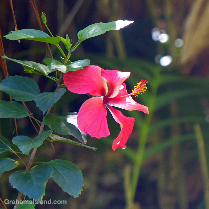
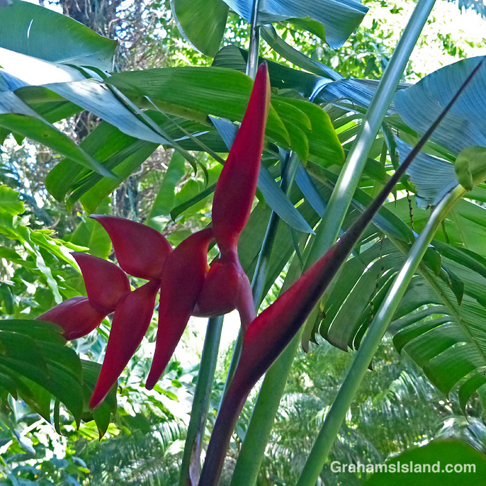
This week’s Sunday Stills color challenge theme is ‘Rosy Red.’ See more responses here. Captions are on the photos.
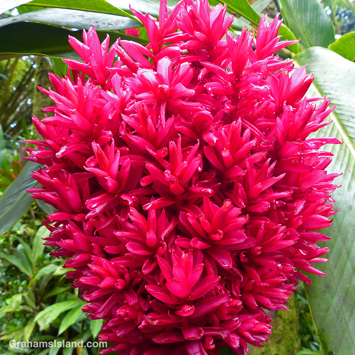

This week’s Sunday Stills color challenge theme is ‘Rosy Red.’ See more responses here. Captions are on the photos.
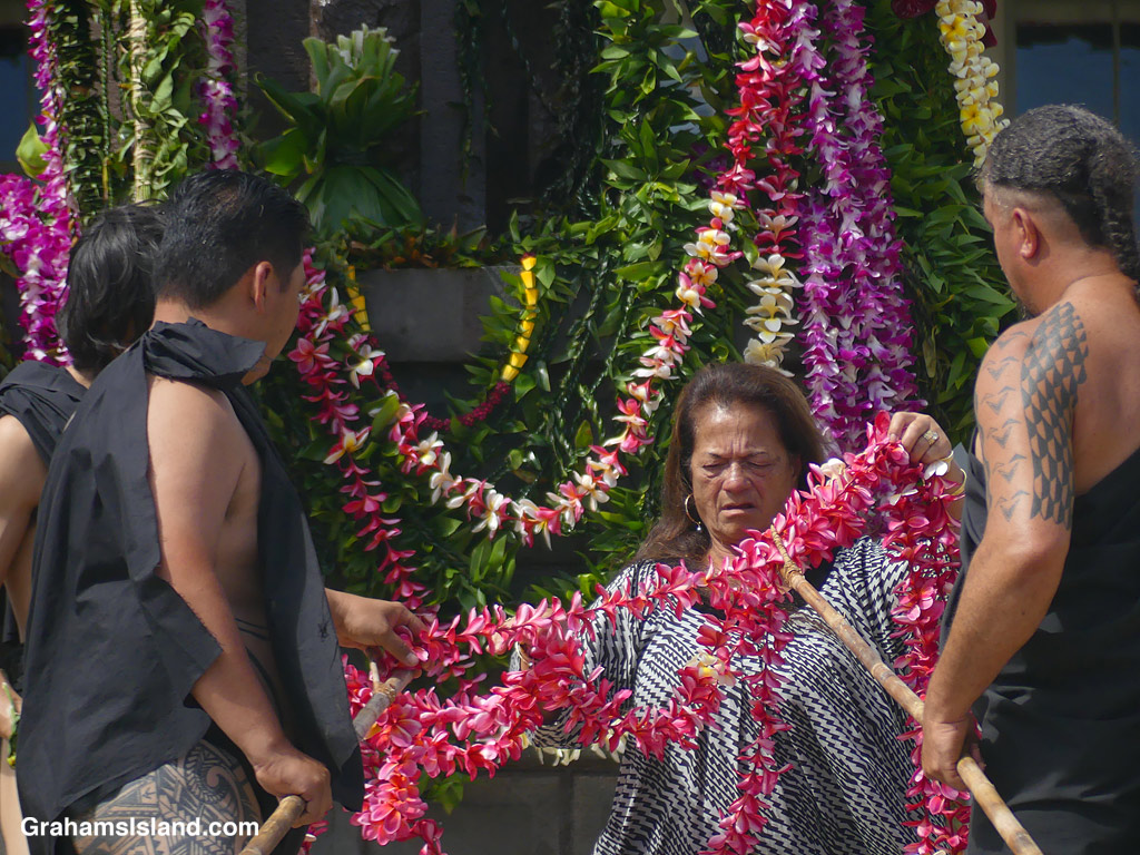
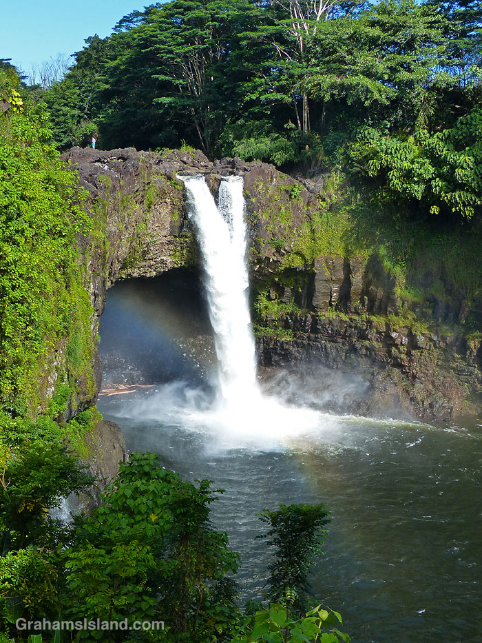
The idea of The Numbers Game is to enter a number into the search bar of your computer and then post a selection of the photos that turn up. This week’s number is 176. Captions are on the photos. You can see more responses here.
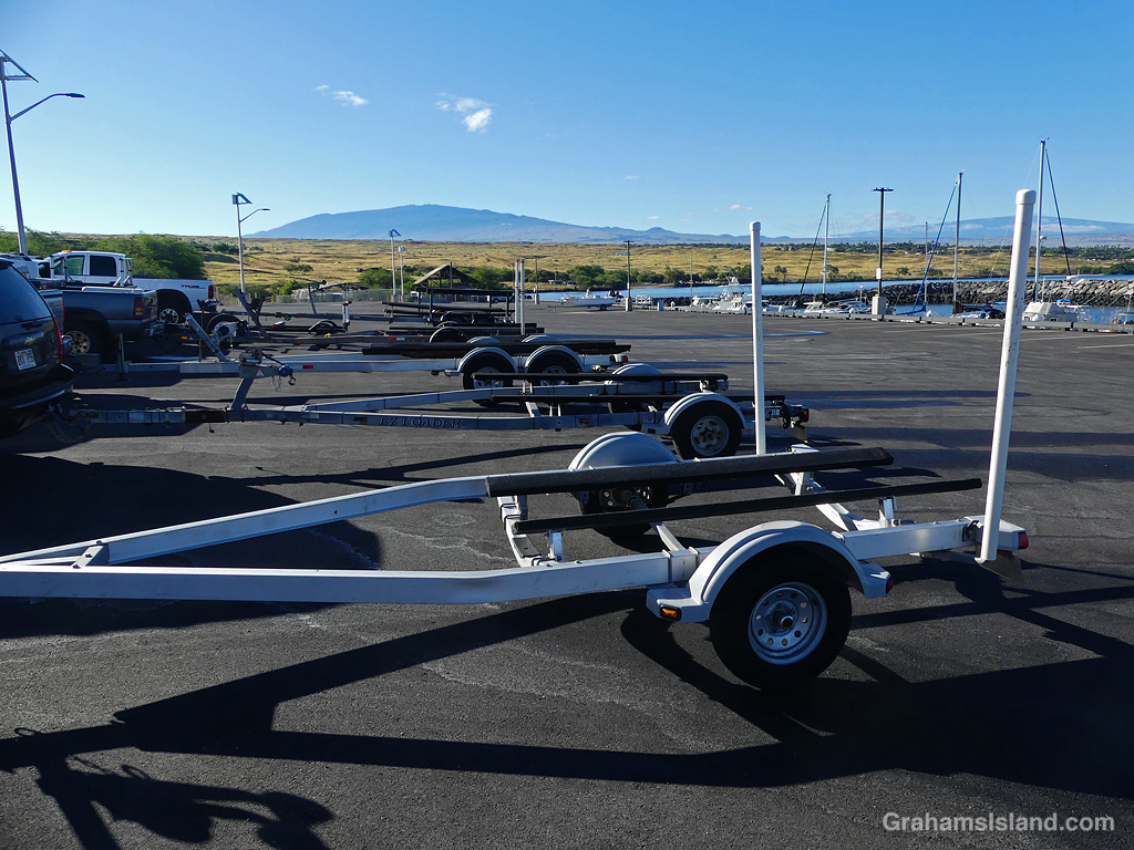
Empty boat trailers parked at Kawaihae Small Boat Harbor, the boats having been launched early for a day’s fishing.
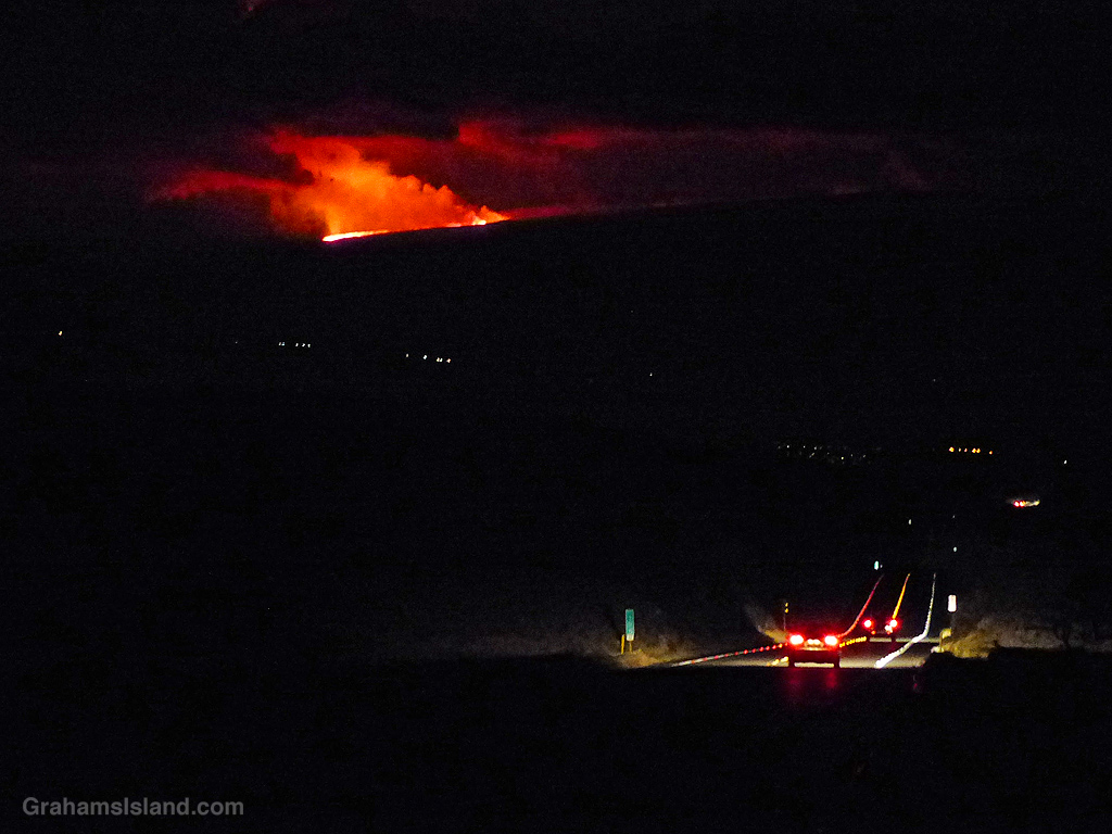
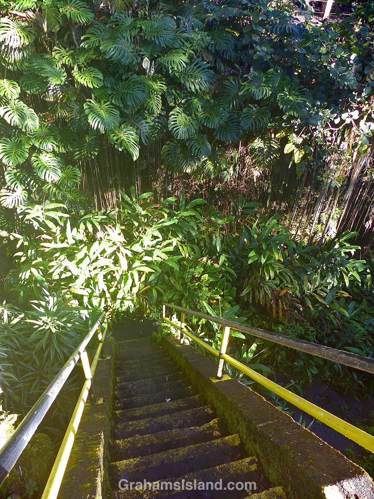
The idea of The Numbers Game is to enter a number into the search bar of your computer and then post a selection of the photos that turn up. This week’s number is 147. Captions are on the photos. You can see more responses here.

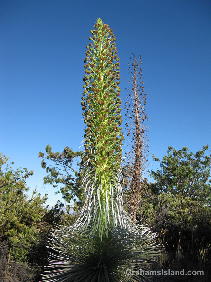
Next door the Mauna Kea Visitor Center is an enclosed area where Mauna Kea Silverswords (Argyroxiphium sandwicense subsp. sandwicense) grow. These silverswords are closely related to species found on Mauna Loa and Haleakala on Maui. All silverswords are at risk of extinction. The reasons are the usual suspects: humans, feral sheep and goats, climate change. They also suffer from a lack of genetic diversity. The current burgeoning population of more than 8,000 has been produced from only six wild plants.
Silverswords can grow for 30 years or more, but once they bloom, they die. I haven’t seen a Mauna Kea Silversword blooming, but I was lucky enough to see Mauna Loa Silverswords blooming not long after I moved to the island (here). The second photo shows one of those plants in bloom. It was over six feet tall!
Posted for Becky’s Squares: Move Forward, Reconstruct, Renew, and/or are Burgeoning. See more responses here.
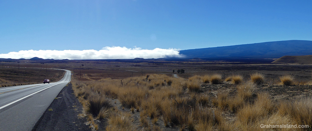
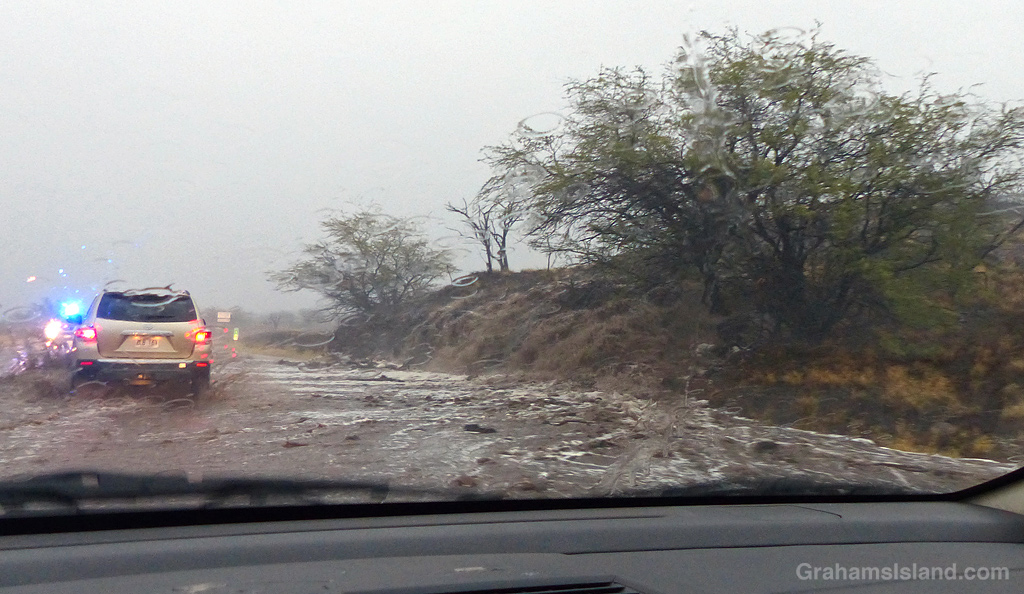
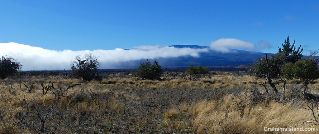
The Big Island’s weather is greatly influenced by northeast trade winds blowing up against Mauna Kea and Mauna Loa and dumping generous quantities of rain on the wet east side. Not much of this moisture reaches the much drier west side.
On a recent hiking trip to the saddle between Mauna Kea and Mauna Loa, I saw a visual example of what goes on. Cresting a hill, I saw a bank of cloud rolling in from the east. My hike was somewhere under that cloud. When I got closer to that wall of cloud, I could see it fading as it pushed to the west.
My hike started under gray skies, with some light rain, but on this day, the clouds did not keep building. Instead, they burned off somewhat so that it was dry and quite hot by the time I returned to my car, such is the fickle nature of Big Island weather.

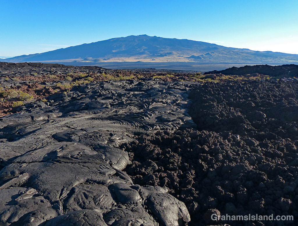
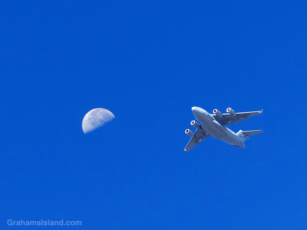
Pohakuloa Training Area is a large military training area, occupying more than 100,000 acres on the lower slopes of Mauna Loa. Units from all around the country come here for training.
Recently, a series of jump operations were held over several days. As part of these exercises, formations of large aircraft were flying around the area, including over Hapuna, which is where I work.
On this day, the first flight went by while I was occupied, but when the next one came into view, I was ready with my camera. There were around 15 aircraft rumbling overhead at a relatively low altitude and I was pleased that their track took them past the half moon hanging in the sky.

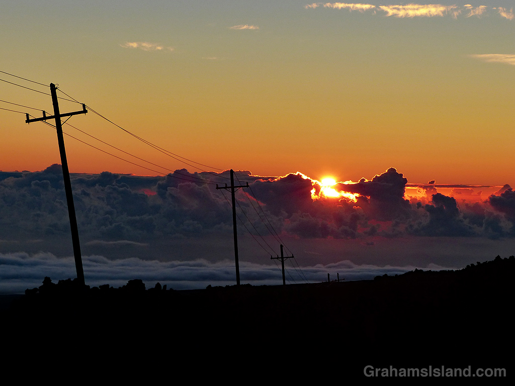
On my way to work recently, this sunrise promised much, then faded, then regrouped with this vibrant display. Mauna Loa and Hualalai provide the backdrop.
