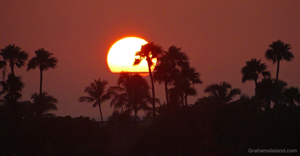
A couple of days ago, on my way home, I had to stop in the vicinity of Waikoloa Resort to photograph this sunset.

A couple of days ago, on my way home, I had to stop in the vicinity of Waikoloa Resort to photograph this sunset.

Hurricane Lala barrelled past Hawaii this past weekend and left a trail of mayhem in its wake. Here on the island, more than 60,000 households, including this one, are without power and there was a good deal of flooding and trees blown down. Our power went out just after midnight on Saturday morning. I took this as a bad sign as only the outer edges of the storm had reached the island at that time. Recent storms have resulted in power outages of a few hours duration. This promised something more lengthy.
Around 9:00 a.m. we lost our cell phone service, meaning we had no idea what was going on and how the storm was progressing. We had to drive several miles down the road to get erratic service. Since we were doing that, we decided to carry on to the South Kohala resort area to get lunch.
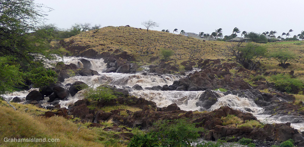

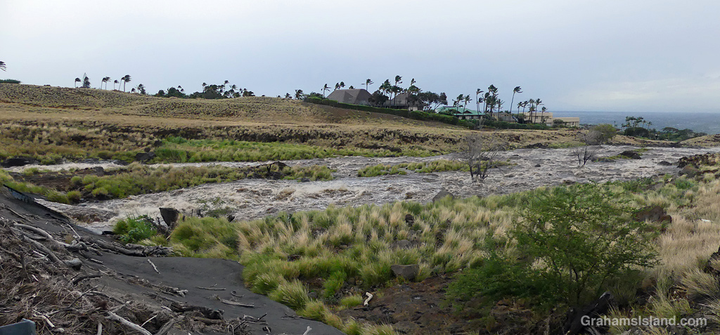
We stopped at Mauna Lani to find a tree blocking one lane and the restaurant we were aiming for closed. So we continued on to the restaurant at the theater in Waikoloa. This stretch of the coast was overcast but warm and with barely a breath of wind. When we were done, we headed back north. I wanted to stop at the river by Mauna Kea Resort as I’d seen it was running pretty high. This spot is about 9 miles miles from where we ate. When I pulled over to stop the wind was howling and threatening to blow me into oncoming traffic, which luckily was sparse. I took photos from both sides of the road making sure not to get blown over into the river! When I got back to the car, my wife said she thought it was going to get blown over!
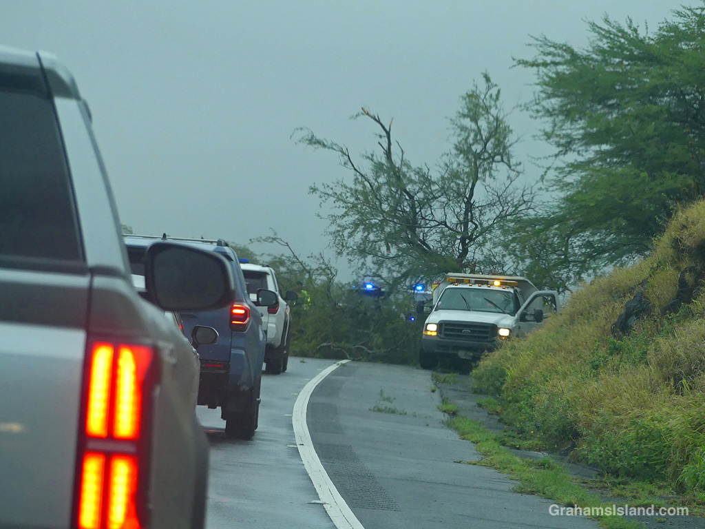
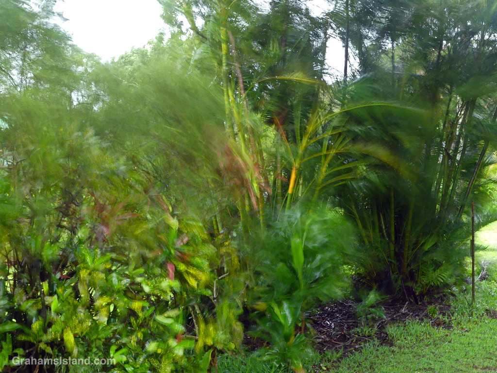
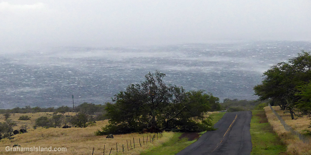
On the way back home we found a line of cars and a fallen tree, which luckily just blocked one lane. For the remainder of the day, and much of the night, the wind howled, buffeting the house with strong gusts.
Sunday morning, all was calm again. The storm had mostly passed, trailing some bands of rain with occasional gusty winds. We still had no power or cell service, so I hit the road again to find a signal. At one point, a pole had broken and a line fallen across the road. Cars were backed up, but eventually began to cross the fallen line, which wasn’t a power line, but probably a fiber optic cable.
When I came back from finding a signal, I found a car off the side of the road. The driver had gone a bit too far onto the grass and slid down a slight bank and wasn’t able to get back up as the ground was so slick. Luckily a local truck driver came by and towed him out.


Today I learned many other places had it much worse, especially in the south end of the island. Our power is estimated to be restored late Wednesday, but I’m not counting my chickens. In the meantime my posts and respnses will continue to be erratic for a few days.
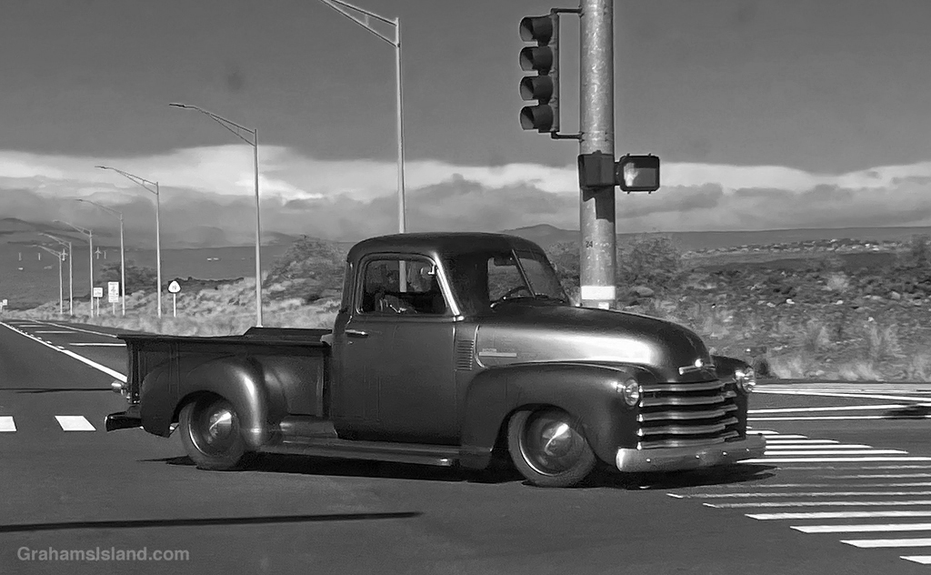
I saw this truck when I was waiting at a traffic light, whipped out my phone, and snapped a couple of photos. Not sure what kind of truck it was, but I thought the image looked best in black and white, with the truck itself not looking much different than in color.

There are a variety of statues along the coast in front of the Hilton Resort at Waikoloa. This is one of them. Not sure I’ve ever seen a goat that looks like that!
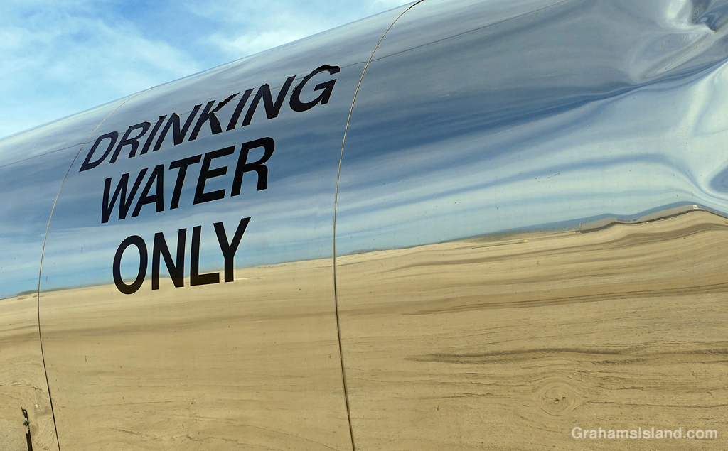
This week’s Sunday Stills color challenge theme is ‘Tan, beige, and/or peachy shades.’ See more responses here. Captions on the photos.
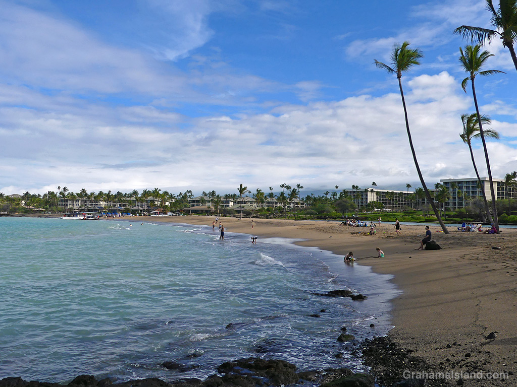
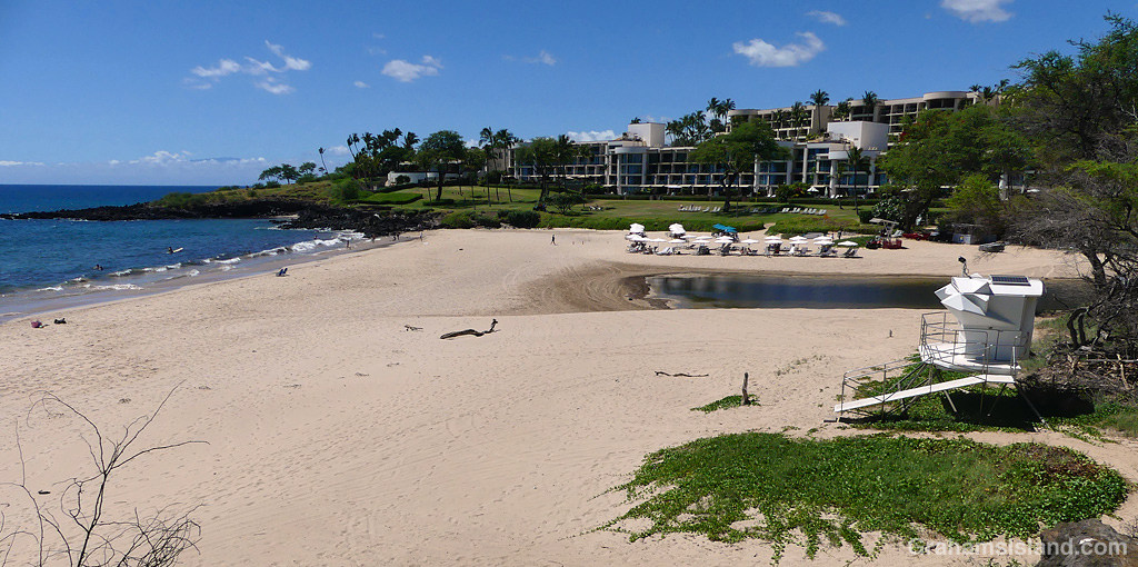
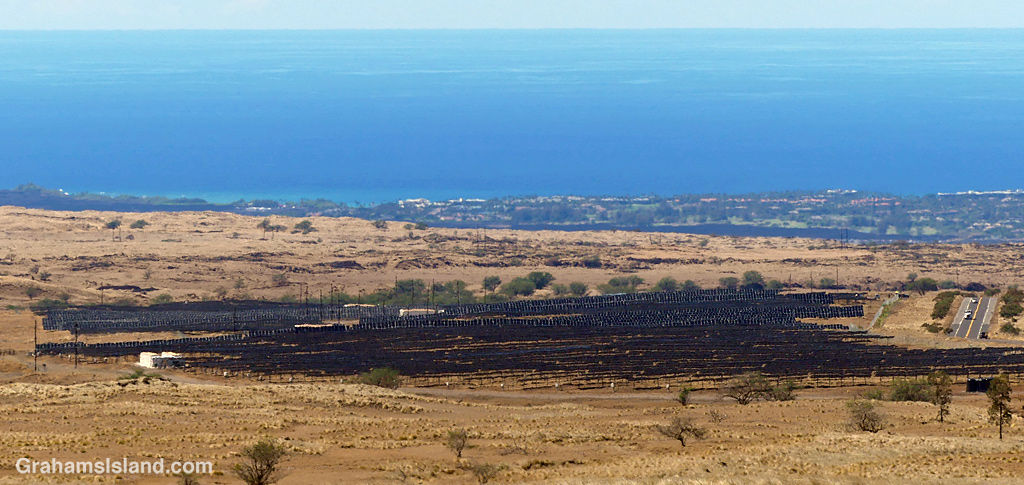
This photo looks a bit like a patch of land scarred by a brush fire, but it’s actually the Big Island’s largest solar power project, which began operations earlier this year. Situated just above Waikoloa Village, it occupies 300 acres and is expect to provide around 7% of the island’s energy needs.
Waikoloa is a good location for this because it’s dry and sunny. It is, however, also known as Waikoblowa because the winds are strong and the dry dirt flies, so they’ll have to keep those solar panels clean!
For more information about the Waikoloa Solar and Storage Project, go to https://www.aes-hawaii.com/waikoloa-solar-storage-project.
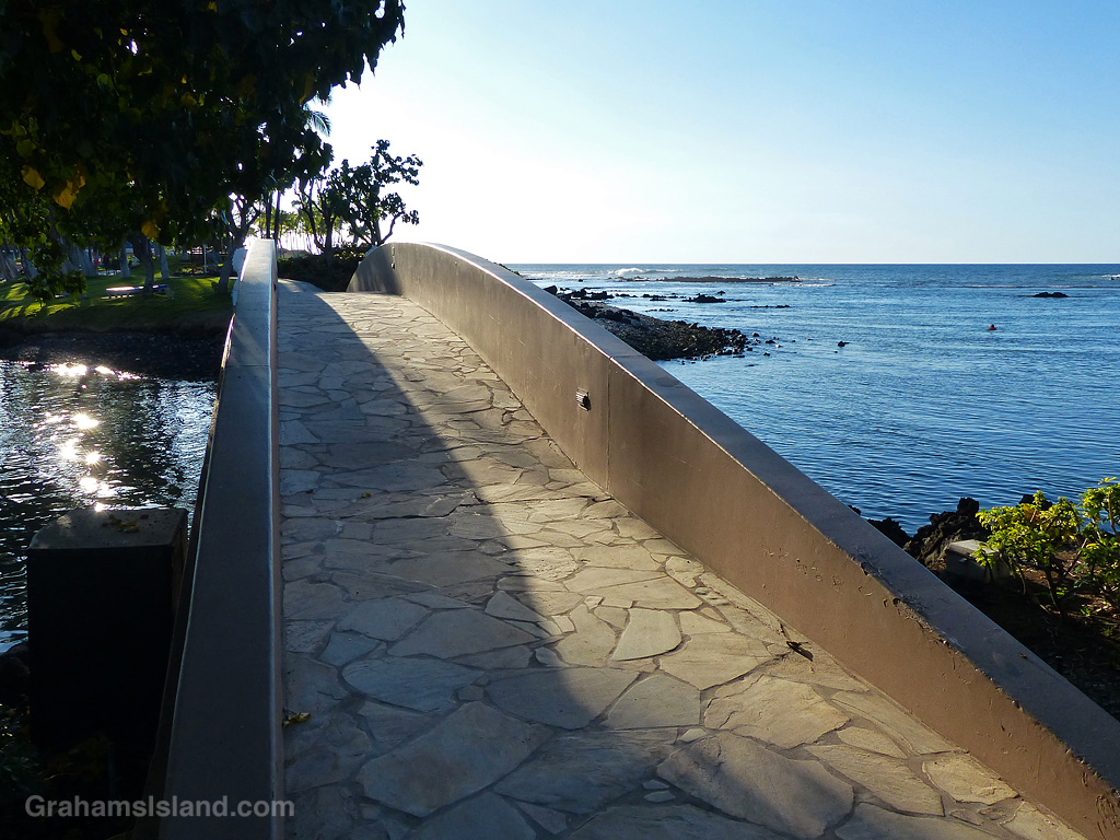
This week’s Sunday Stills challenge theme is ‘Bridges.’ See more responses here.
The top image is an elegant bridge on the coast, in the Hilton Resort at Waikoloa. It spans an inlet from the ocean into a lagoon. This bridge is part of the coast path, which is open for anyone to walk.


The Big Island’s main use of bridges is to span the numerous gullies that run from the mountains down to the ocean. On the east side, some of these bridges are quite long and high, with vertigo-inducing views over the edge. These three bridges cross gullies in North Kohala on the winding road from Kapaau to Pololu. The third has several houses nearby, so a walkway has been added. This is surely safer than walking on the road, though not by much judging from its appearance!
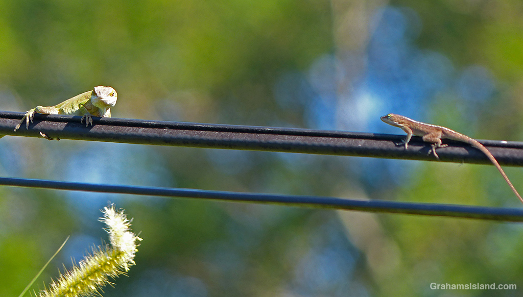
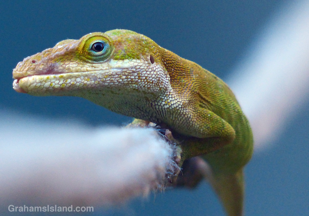
Finally, bridges of a different kind. Anoles and geckos use lines, attached to the house, to get around. Sometimes these one-lane bridges lead to encounters with fellow travelers. In this case the smaller anole leapt off into the cane grass, but that was its intended destination anyway. In the second photo, this anole was using the washing line to bridge the space from the house to a hedge.
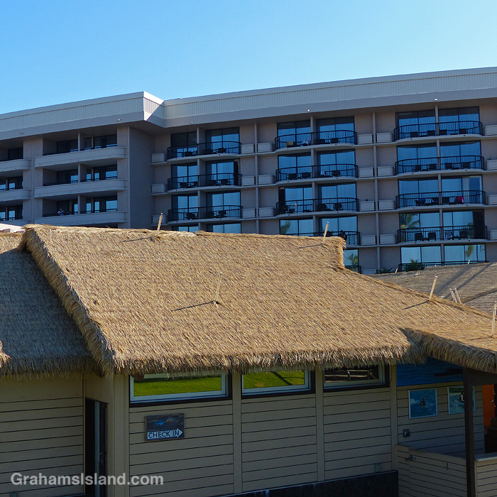
A photo of part of the Hilton Resort at Waikoloa where the block of hotel rooms contrasts with the thatched roofs of poolside buildings. I thought this an odd juxtaposition.
Posted in response to this month’s Becky’s Squares challenge theme of ‘Odd.’ See more responses here.

