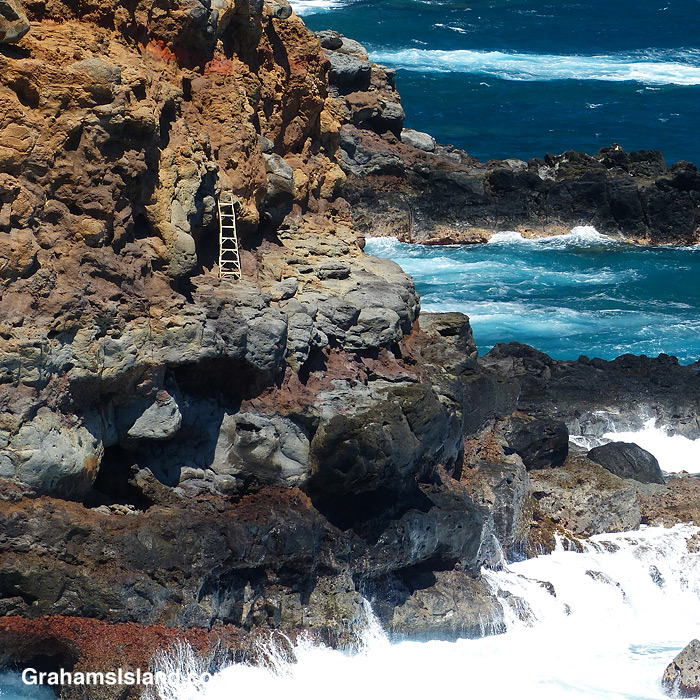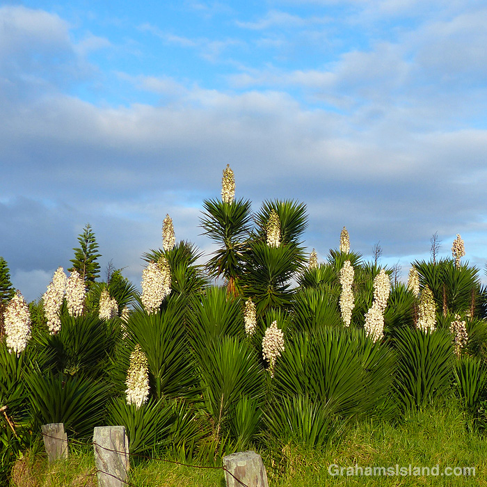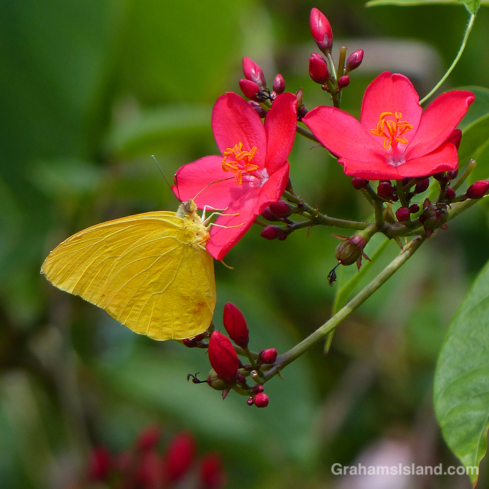
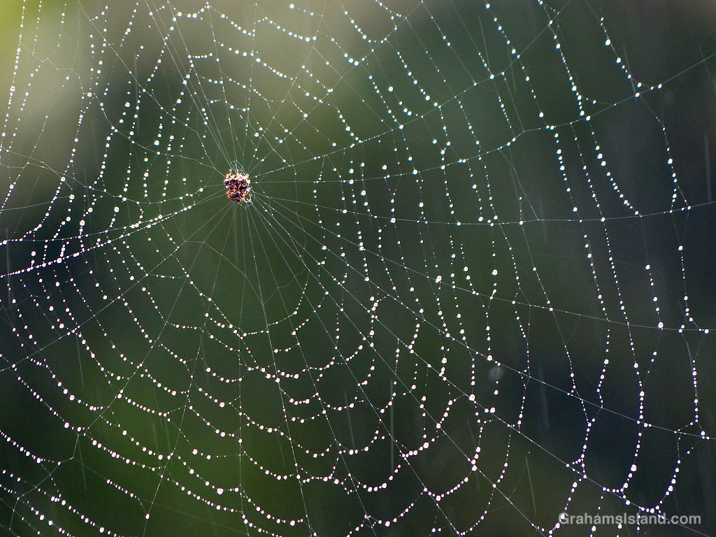
The idea of The Numbers Game is to enter a number into the search bar of your computer and then post a selection of the photos that turn up. This week’s number is 744. Captions are on the photos. You can see more responses here.

The idea of The Numbers Game is to enter a number into the search bar of your computer and then post a selection of the photos that turn up. This week’s number is 744. Captions are on the photos. You can see more responses here.
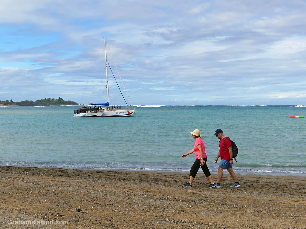
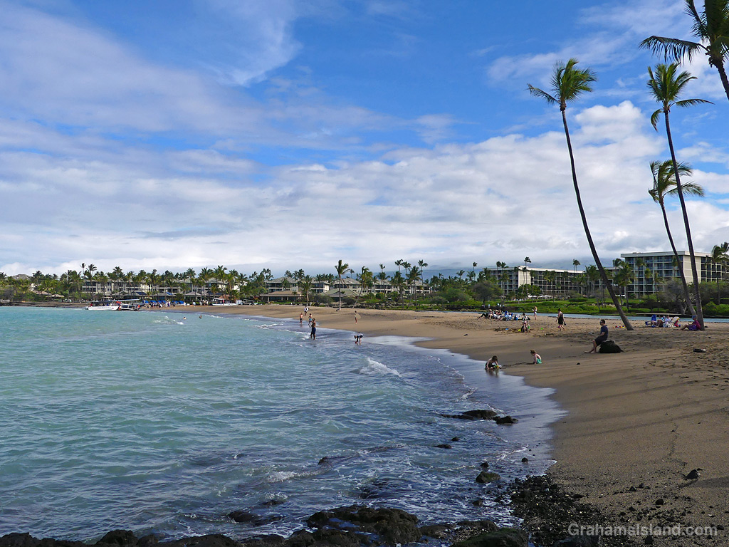
A couple walks the beach at ʻAnaehoʻomalu Bay while a tour boat disembarks passengers into a glass bottom boat to be shuttled ashore. Tourism is down here this year, in part because many Canadians are avoiding the U.S.A due to less than friendly relations between the two countries at the current time. I won’t be surprised if other nationalities follow suit.
This week’s Sunday Stills challenge theme is ‘Winter Wonderland.’ See more responses here. These photos were all taken during the winter months, which is wonderful when you think about it!


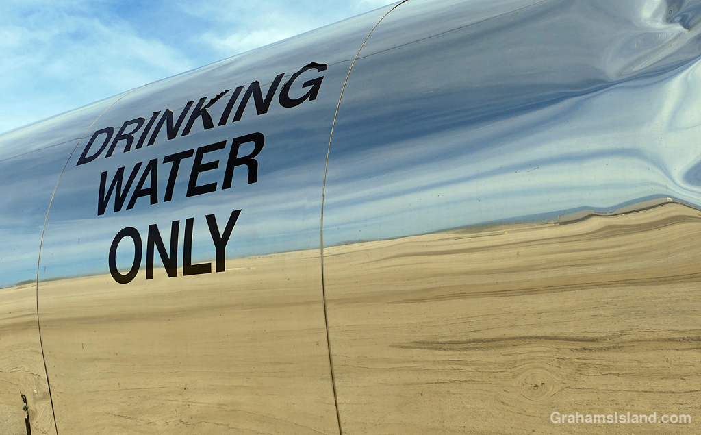
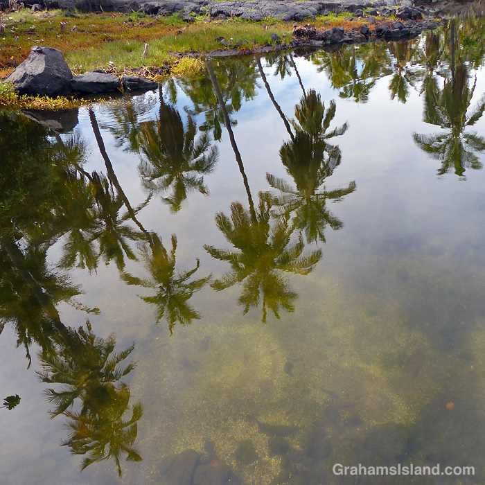
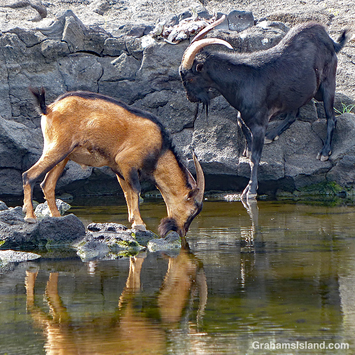
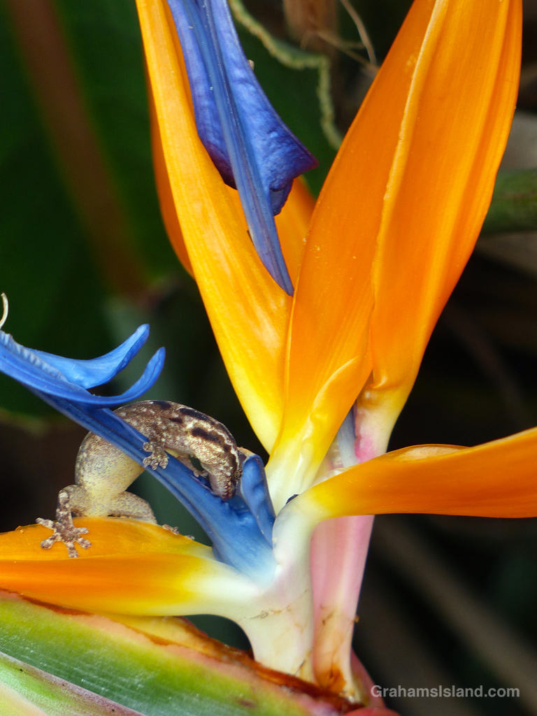
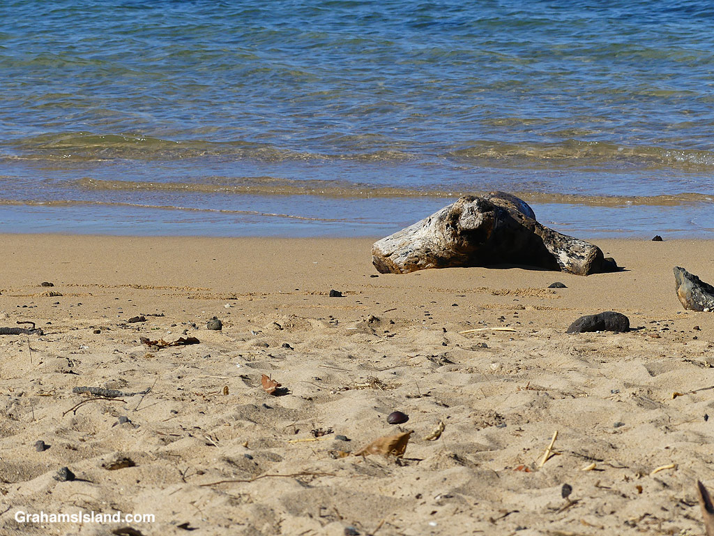
This week’s Sunday Stills color challenge theme is ‘Tan, beige, and/or peachy shades.’ See more responses here. Captions on the photos.
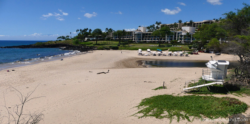
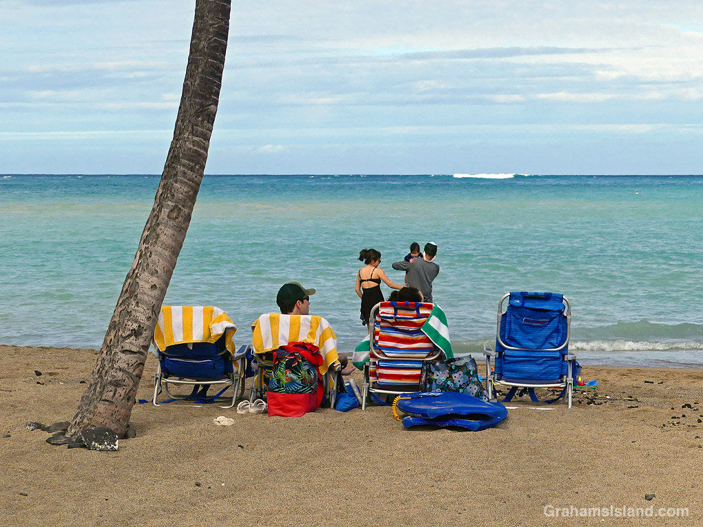
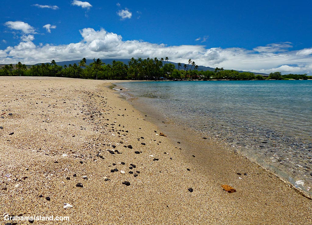
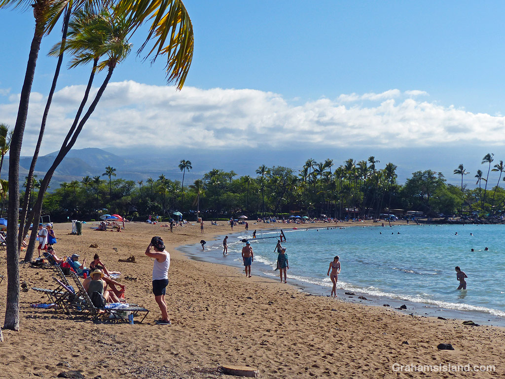
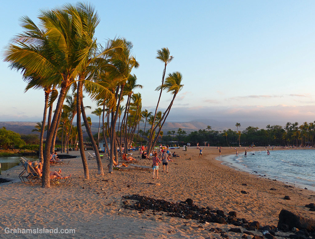
A family settles in for the day under a palm tree at Anaehoʻomalu Bay, which is commonly referred to as A Bay for obvious reasons.
Sunday Stills challenge theme this week and next week is ‘Your 2024 Year-in-Review.’ See more responses here. As usual, I’m going with a favorite photo from each month of 2024, with a caption and link to the post the photo first appeared in. This week’s post is for January through June. See the rest of the year next week.


The idea of The Numbers Game is to enter a number into the search bar of your computer and then post a selection of the photos that turn up. This week’s number is 170. Captions are on the photos. You can see more responses here.


The idea of The Numbers Game is to enter a number into the search bar of your computer and then post a selection of the photos that turn up. This week’s number is 161. Captions are on the photos. You can see more responses here.
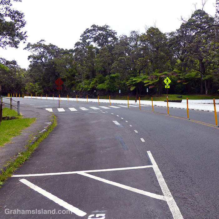
Also, seven photos posted for Becky’s Squares: Seven. See more responses here.