Recently, while waiting to visit my dentist, I walked the trail in the Waimea Nature Park, also known as Ulu La’au. The trail follows the Waikoloa Stream for about a mile from the town center down toward the ocean. It’s a work in progress, with volunteers removing invasive species and planting native and canoe plants in their place.
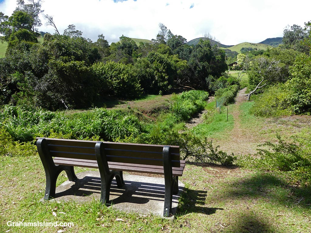
On my walk, the Waikoloa Stream had water in it, but not much. I think it would be fun to walk there after a heavy rain. But one thing I liked was the abundance of benches, some of which offered nice views of the park, the stream, and the hills surrounding the town.
Yesterday morning, around 4:30, I got a text alerting me to a brush fire burning alongside the road I take to work. It said the road would be closed for two to three hours. This was not a good way to start the day! It meant I’d have to take the road over Kohala Mountain.
When I headed out, the wind was howling and the mountain road was strewn with tree debris, including some sizable branches. Farther along, I noticed a cloud of smoke ahead of me in the vicinity of Waimea. For a few moments, I thought this new fire was burning around the alternate route I was taking, but I saw it was a bit farther away than that. This fire was quickly contained, but the first one is still going strong as I write, with people living in the area being evacuated for safety.
The fires were a byproduct of the passage of Hurricane Dora, well to the south of Hawaii, but still a major hurricane. Its passage caused very strong, but dry trade winds over the island, which exacerbated conditions in some already drought-hit areas. It was no surprise that fires broke out and that, once they did, they quickly got out of hand.
The top photo looks up the coast toward the fire, later in the day. The burning area is in the distance with smoke billowing out over the water. In front of that is a cloud of brown dirt being blown from the dry gullies of the hillside on the right. In the foreground is a smaller, pale cloud of sand being blown from the beach in Kawaihae Harbor.
The bottom photo is a view of the fire near Waimea. When I stopped the car to take photos, the wind was blowing so hard I could barely open the door. That same wind buffeted me around so that, despite propping myself against a rail, I couldn’t keep the camera still enough to get a sharp photo!
This week’s Sunday Stills challenge theme is ‘Pets and Playgrounds.’ See more responses here. I’ve gone for the playgrounds part of this since I don’t have pets, unless you count the rat in the attic!
Just waiting for the ball to drop.
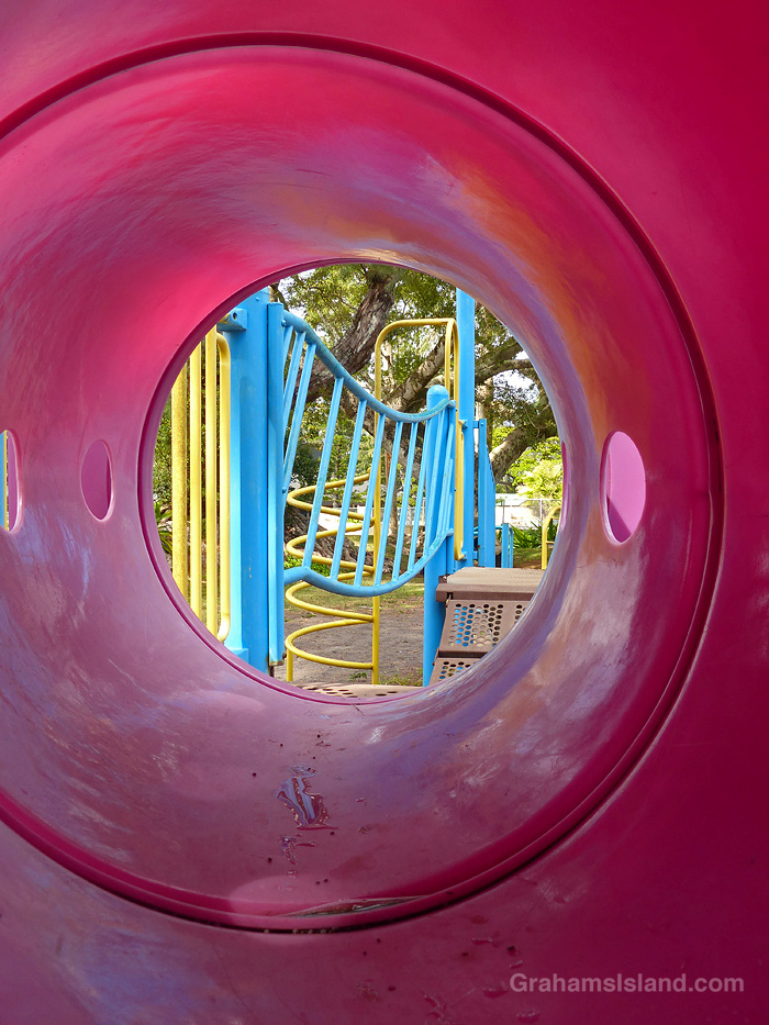
As you might expect, I’ve managed to find seven photos with nary a single human at play in them. Most of the photos were taken at Kamehameha Park in Kapaau. However, I also stopped to take photos at a park in Waimea because I thought it was deserted, but I discovered there were a few kids with parents there. So I was careful lining up my photos. These days, an older guy taking photos in a kids’ park stands a good chance of being arrested or shot!
Now you can count to ten in Hawaiian!Slide Charlie Brown, slide!Light at the end of the tunnel.Ready for a swinging time.After the ballgame.
There’s still a bit of snow on top of both Mauna Loa and Mauna Kea. Every time it looks like it’s going to disappear, a new dusting bolsters the coverage.
This view is from Kohala Mountain Road. The dark strip snaking through the center of the photo is housing alongside Kawaihae Road, which goes down to the coast. These houses are part of the town of Waimea, which sits in the saddle between Mauna Kea and Kohala Mountain. This part of Waimea is known as the dryside because it receives significantly less rainfall than areas on the east side of the saddle, which is known, correctly, as the wetside.
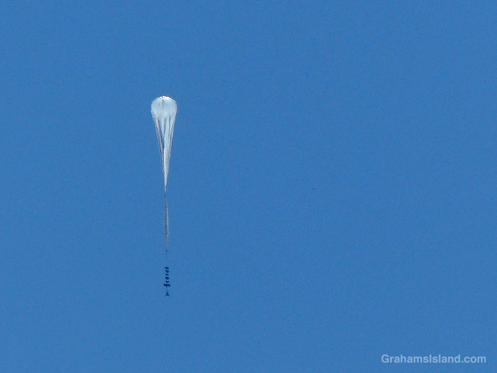
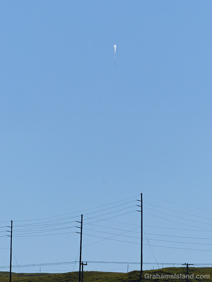
On Monday, an early-morning glance up at the sky showed this unusual sight. It’s a balloon designed to fly at an altitude between 70,000 and 90,000 feet. The balloon, which is about 400-feet tall, is part of Project Aether, which seeks to demonstrate the stratospheric communication capabilities of unmanned balloons.
The balloon was launched from the airport in Waimea and in the photos was at an altitude of around 5,000 feet, but climbing steady. I followed it’s progress on Flightradar24 and later it had drifted out over the ocean and reached 78,000 feet. The next day, it disappeared. Not sure if that’s because its tracking failed or because something else happened to it.
The intention was for it to fly across the ocean and the U.S. mainland before being retrieved on the east coast. A second balloon was supposed to be launched a couple of days after this one, but I haven’t seen any sign of it yet, though that might simply be down to unsuitable weather conditions.
This week’s Sunday Stills challenge theme is ‘Sweet.’ See more responses here.
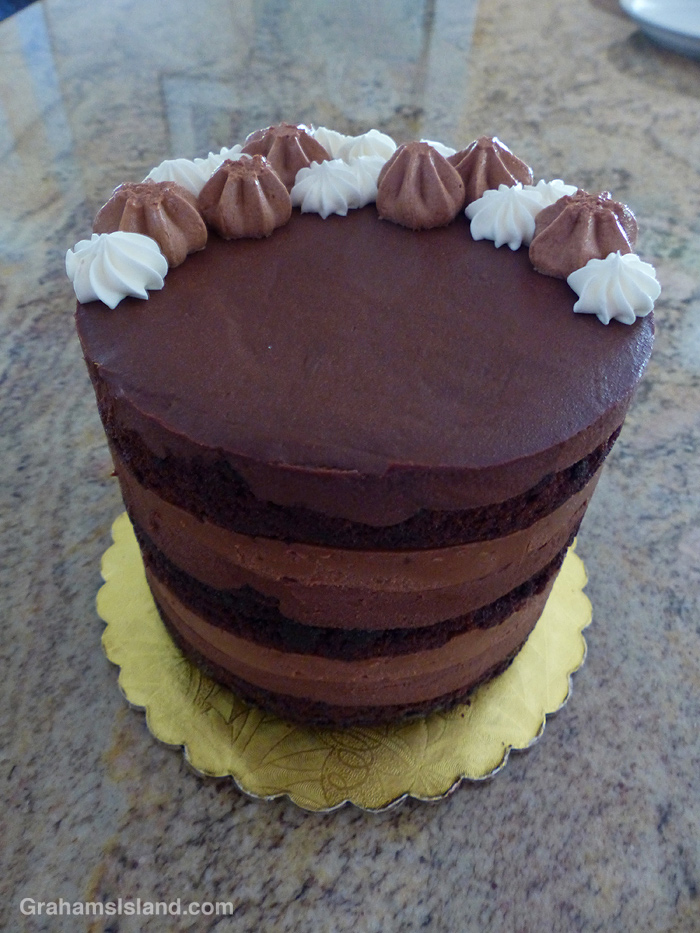
This birthday cake came from the Sandwich Isle Bread Company in Waimea, which also makes cakes and pastries. It was just the right amount of sweet, and the right amount of rich and chocolaty.
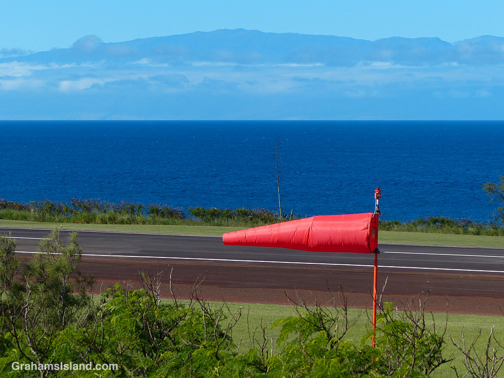
The windsock at Upolu Airport with Maui in the background.
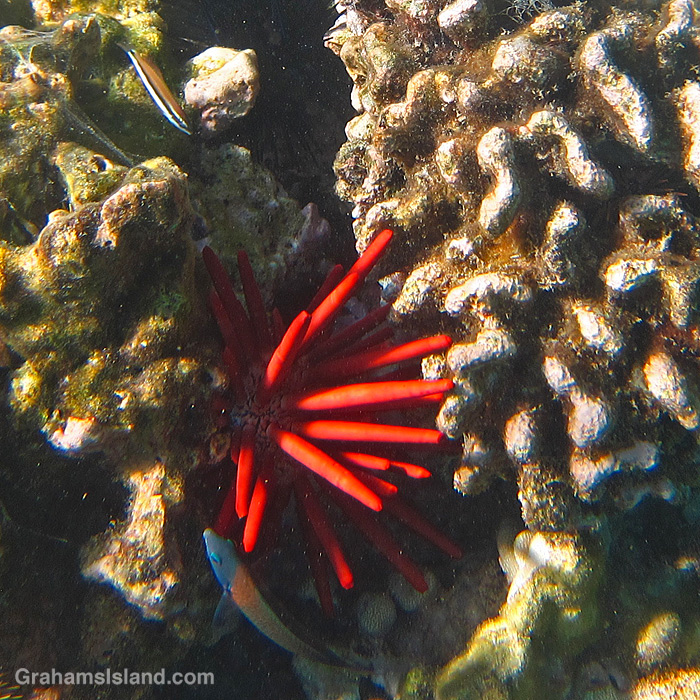
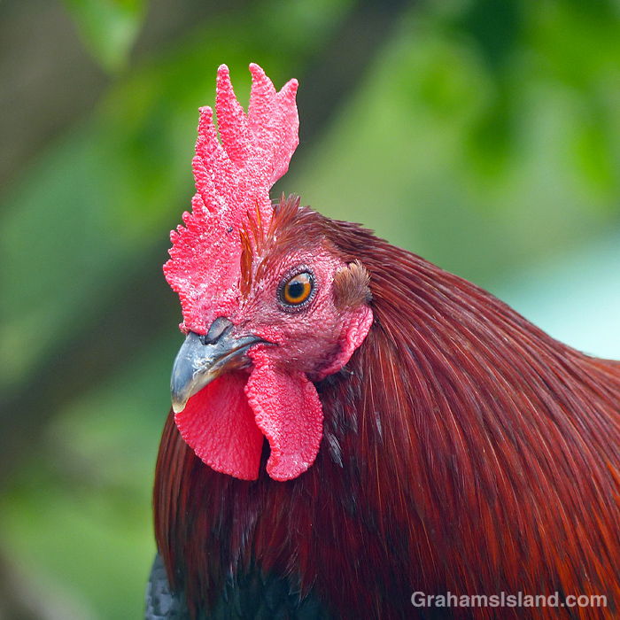
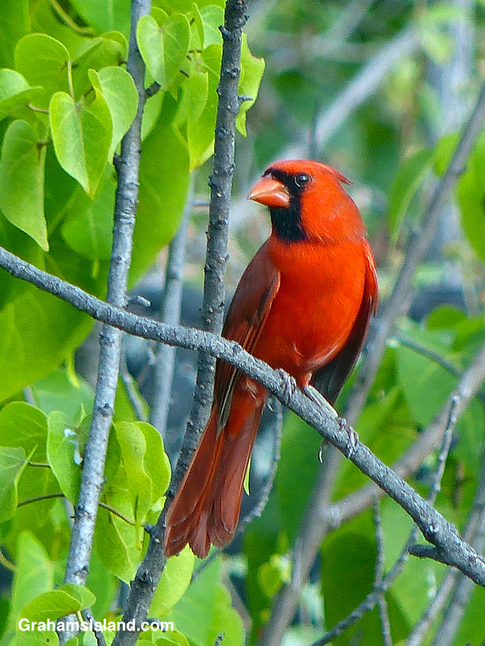
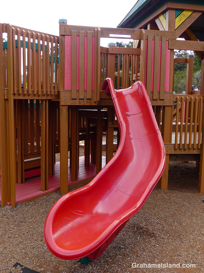
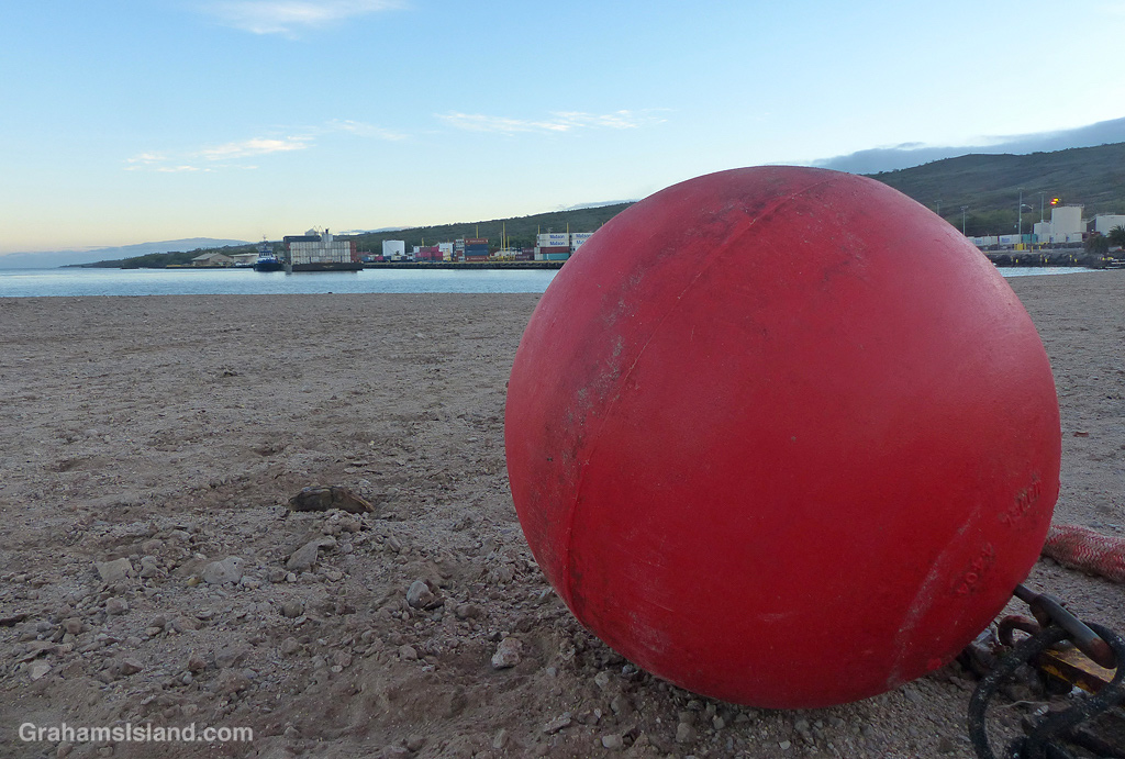
This month’s Sunday Stills Color Challenge is ‘Red.’ See more responses here. A variety of subjects for this one!
A Red Pencil Urchin in the shallows off Kohala.The red crest of one of the many chickens roaming free around here.A Northern Cardinal in a tree near the South Kona coast.A slide at a kid’s playground in Waimea.A large buoy on the beach at Kawaihae Harbor with an inter-island barge arriving in the background.