At the northern end of Kealakekua Bay, near Captain Cook’s monument, is an area that has good snorkeling. People can hike down to the place or take a boat trip there with one of several companies.
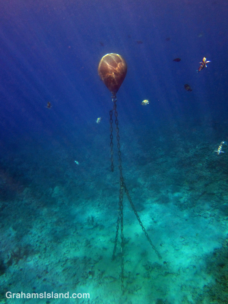
Many of the tour boats are small runabouts. The skipper can just drift with the boat in the bay while the clients snorkel. The largest boat is Fair Wind II, a catamaran that features has two 15-ft waterslides and a high-jump platform! This is not a boat suited to drifting around a bay lined with shallow, coral rich waters and crowded with snorkelers. So they have a mooring buoy in the bay.
Mooring buoys are basically floating balls with a length of chain tethering them to something heavy, usually a large concrete block. The chain is long enough to allow for the ebb and flow of the tides so that the buoy is always available for use. The idea is that a boat ties a line to the buoy, which holds it in a relatively restricted area so that it doesn’t crash into underwater obstructions, land, or other boats.
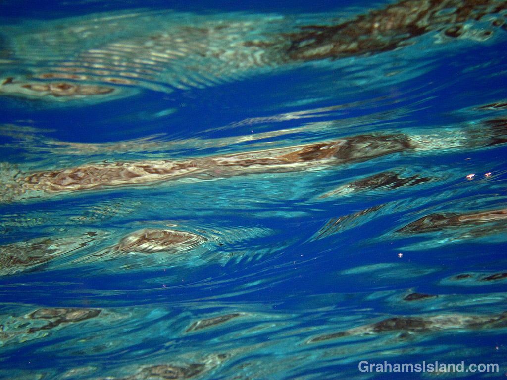
The Fair Wind II buoy in Kealakekua Bay is different in that its length of chain keeps it permanently below the water, regardless of the state of the tide, as the photo shows. The idea is that when the boat arrives in the bay, a crew person jumps overboard with a mooring line and attaches it, not to the buoy, but to the length of chain hanging below the buoy. The line is then hauled in and the boat is secure and held in place. I think that the reason for this slightly different arrangement is that there’s no buoy floating on the water day in, day out, regardless of whether it’s being used or not. In this historically important bay, this might be regarded as an unwelcome sight.
The last time I was there, the eerie appearance of the buoy was augmented by movement of the water causing the loose length of chain to clank, loudly, against the fixed length. It was a scene straight out of scary movie where the ominous quiet is shattered by the terrifying … well, you get the idea.
Posted in response to this week’s Friendly Friday challenge on the theme of ‘Ebb and flow.’ See more responses here.
For more information about Fair Wind II, go to fair-wind.com/.