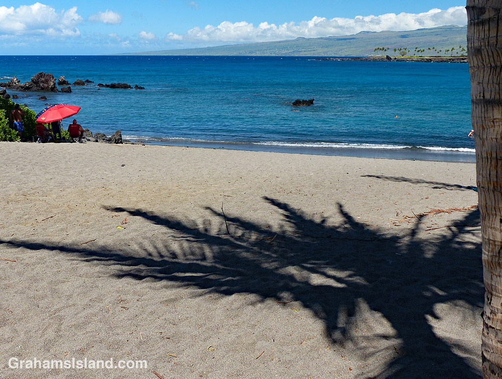
Honoka’ope Bay, located in Mauna Lani Resort, is also known as Black Sand Beach though, as this photo shows, the sand is not particularly black. It is, however, a protected bay with decent snorkeling much of the time. And regardless of the color of the sand, it’s a splendid spot to hang out and quietly broil in the sun.
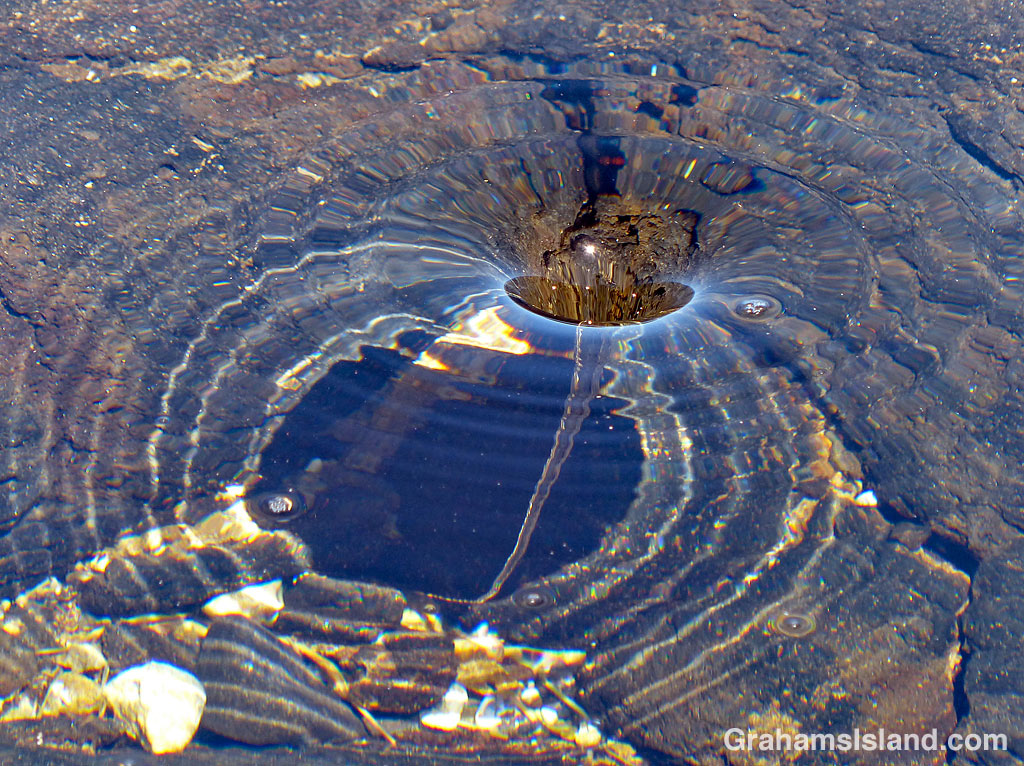
I watched this little whirlpool come and go in a tide pool, its state varying with the influx of water from the ocean. Sometimes it disappeared altogether, but usually returned.
What first drew my attention was not the whirlpool itself, but the shadow on the floor of the tide pool, which varied from fairly circular to heart-shaped.
This week’s Sunday Stills challenge theme is ‘Lines and Squares.’ See more offerings here.
This is one of the roads in Isaac Hale Beach Park at Pohoiki. This park is where last year’s lava activity came to a halt leaving a wall of lava making a border to the public area of the park. Walking beyond the ‘No Trespassing’ sign won’t result in your immediate arrest, but the powers that be don’t want people walking on the flow itself.
But this is a road after all and the sign makes it seem likely that someone driving here might continue on and run into the flow. Actually, this is entirely possible, given how some people drive around here.
Regardless of the intent, I like how the lines on the road disappear into the lava and the red squares are warning signs.
This week’s Friendly Friday challenge theme is ‘Alternative Version.’ See more responses here.
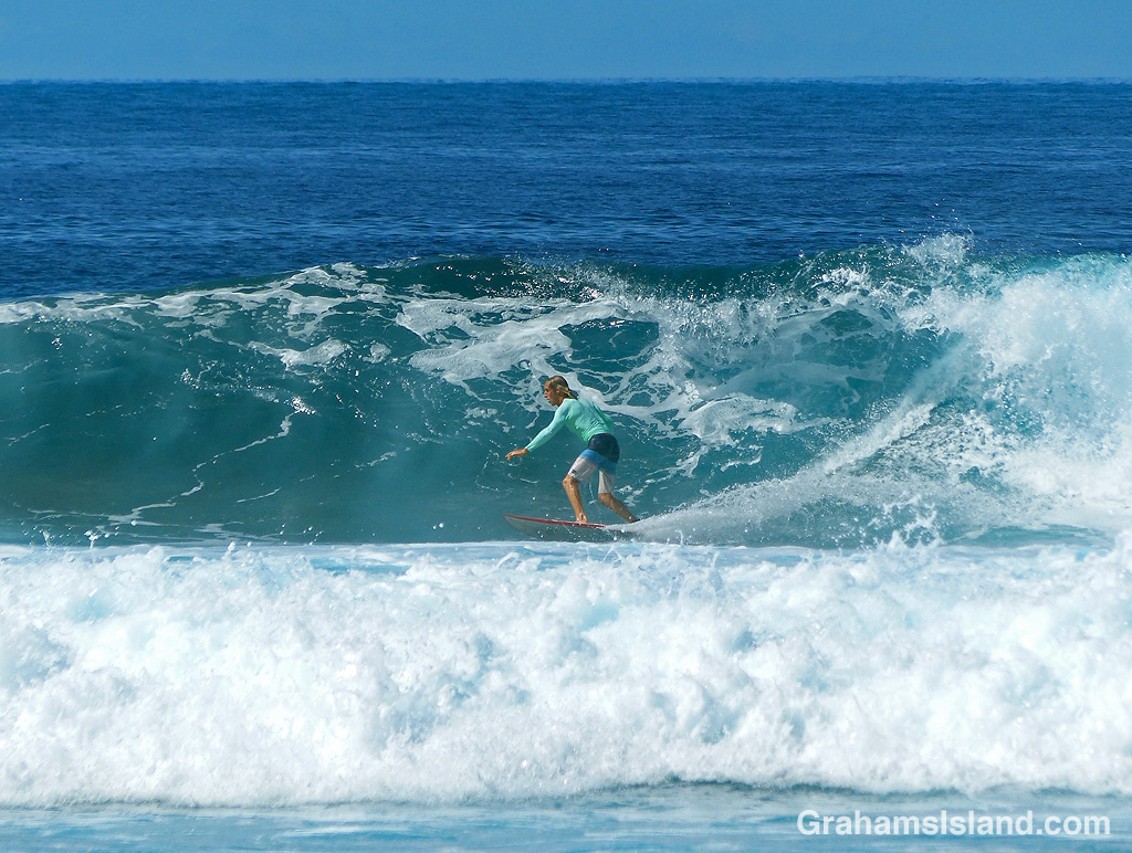
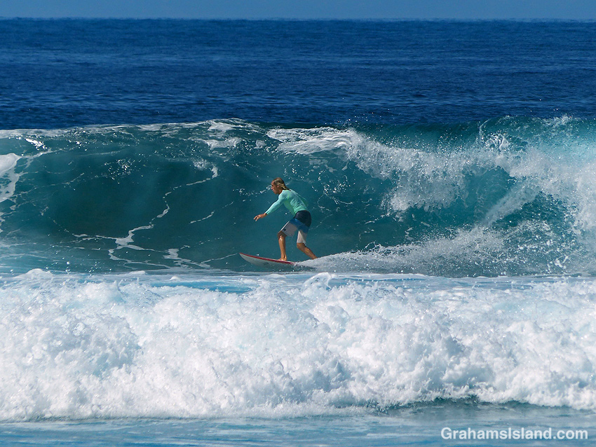
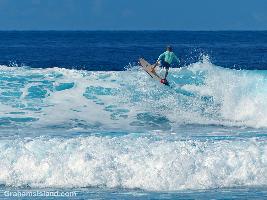
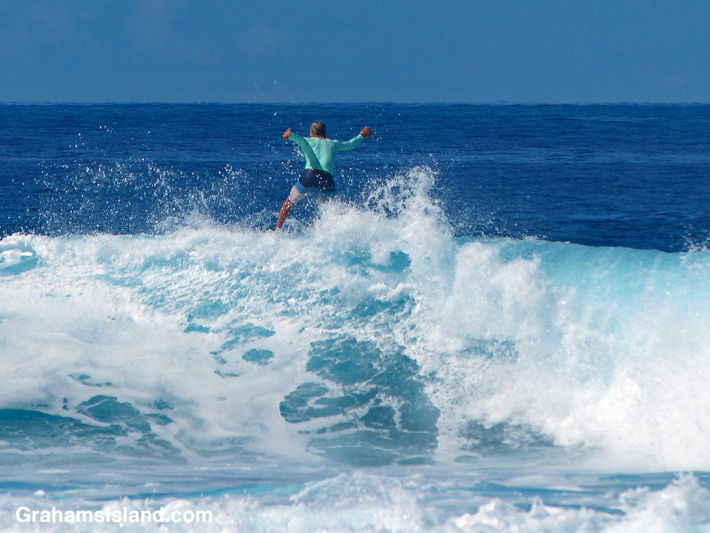
Surfing originated in Hawaii and is a quintessential Hawaiian activity. When the surf’s up, so is absenteeism at the workplace. For last week’s challenge, I posted a photo of surfers waiting for a wave.
This week, I’m posting photos of one of those surfers catching a wave. In the photos, the surfer cuts a curve down the face of a wave, zips along its base, and then climbs up the face again. At the top, he jumps off, no doubt to wait for the next wave he can catch.
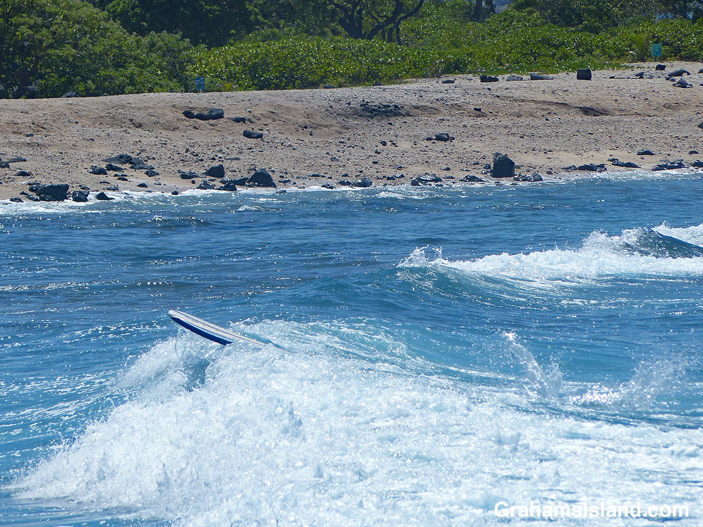
And the alternative version? Wipeout! In the bottom photo an unoccupied surfboard heads to shore, still tethered to the ankle of the out-of-sight surfer who wiped out moments before.
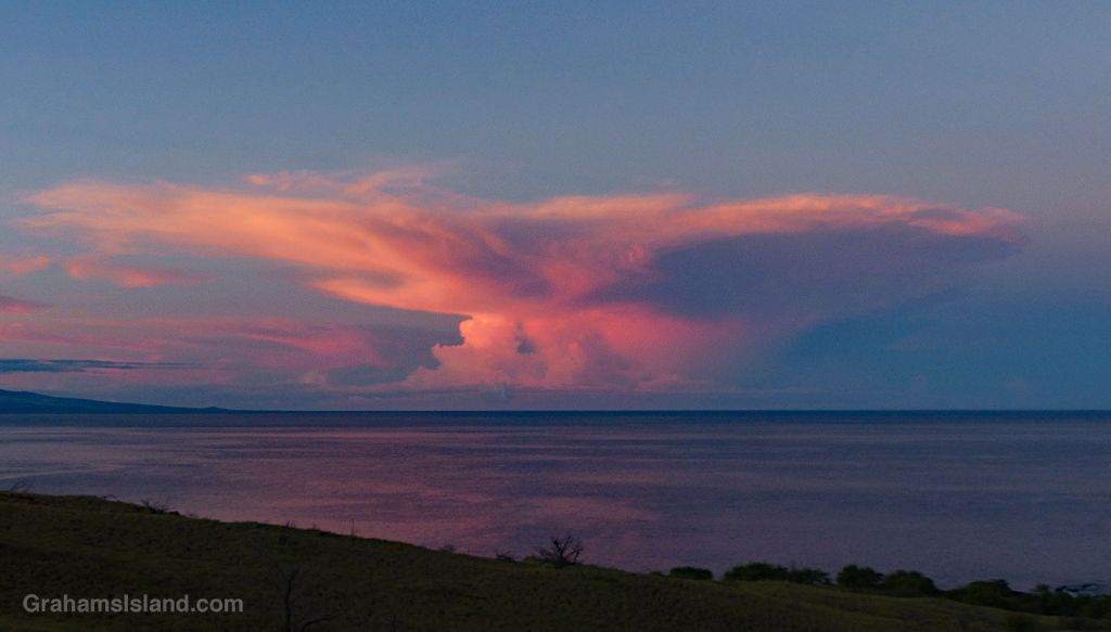
A few days ago, on my way to work, I rounded a corner and saw a bolt of lightening. It was the first of several, none of which I was able to capture on camera. But as the sky lightened, I got a better view of the thunder cloud producing the fireworks.
I was happy to see the cloud catch the early morning light and take on some vivid coloring, which I was able to photograph.
I recently went hiking in the Kalōpā State Recreation Area, not far from Honoka’a, on the northern end of the island. I’d been there before, but only to check it out, so this was an opportunity to explore the trails more thoroughly. One of the treasures of this area is that it features plants that were on the island before even the native Hawaiians arrived.
The recreation area is about 100 acres, and it neighbors the 500 acre Kalōpā Forest Reserve. At an elevation of around 2,000 feet, and on the wet side of the island, it’s cool and damp. There are a variety of trails that intersect and criss cross, which allows hikers options from short loops of less than a mile, to a 6+mile hike around the perimeter.
I took one of the longer routes and it reminded me greatly of hikes I’d taken back in the Pacific Northwest where I used to live. Light rain, water dripping from the overhead canopy, ferns bordering the trail, and tall trees stretching up into a grey sky. These were all features of those hikes. Only the species were different. Eucalyptus, ohia, and kopiko instead of firs and cedars.
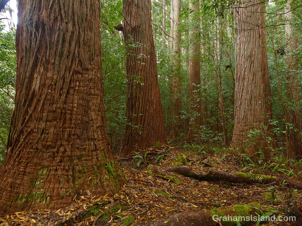
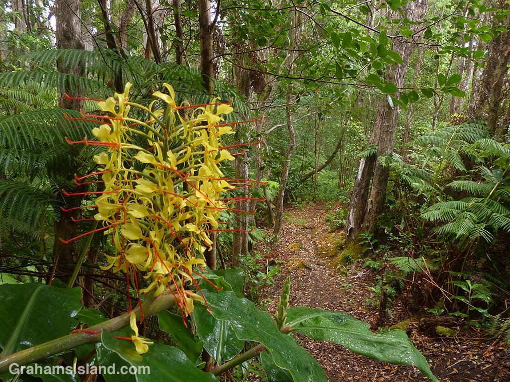
The photos show – Top: towering trees line the trail alongside Kalōpā Gulch. Above: A view down into Kalōpā Gulch. Flash floods often race down this gully so it’s a good idea to watch your step. Third photo: Strangler figs envelope native trees and take over resulting in weird, twisted shapes. Below: The old Jeep Road, bordered by invasive kahili ginger, cuts through the center of the area. It’s hard to imagine anyone driving this trail.
This week’s Friendly Friday challenge theme is ‘Balconies.’ See more responses here.
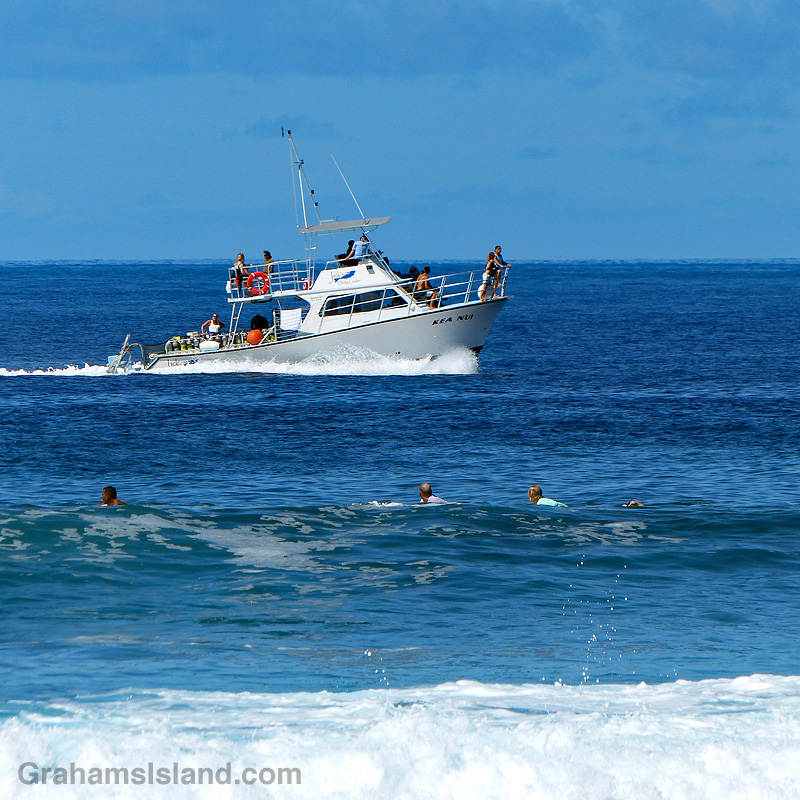
Not having any photos of balconies in the traditional sense, I thought I’d pop for a photo taken yesterday when I was down in Kailua Kona. Here, a powerboat heading north passes some surfers waiting for a wave.
The boat is taking people out to a dive, and like many of these kinds of boats this one has a couple of balconies (though they’re not called that in nautical language) where passengers can relax en route to the dive site.
The Ka’awaloa Trail starts near the top of Napoʻopoʻo Road, on the edge of Captain Cook – the town that is, not the person. The trail goes down to the water near the Captain Cook Monument on Kealakekua Bay.
As you can see, there are a lot of warnings on the sign. It could be greatly shortened to, “Abandon hope all ye who set foot on this trail.” But there are a couple of things to know about this sign. One is that most people won’t read it. I mean, who needs to waste time reading a dumb sign. The second is that quite a few people will end up in difficulty on the way back up, because the trail really is steep, hot, and exposed. Locals often take extra water with them to help out those in need, but if you don’t meet one of them on the trail, you’re on your own. An iced tea stand two-thirds of the way up could make a killing.
I also like that someone has taken the time to obliterate the word ‘vehicles’ in the ‘No vehicles’ admonishment. A car would never make it and even a trail bike might have a tough time. Perhaps it was just the principle of the thing that someone objected to.





 Graham's Island