Category Archives: Volcanoes

View of Mauna Kea

There are 13 telescopes atop Mauna Kea, but while they’re all one of a kind in that regard, they vary in how they make observations. Some collect visual light, some infrared. Others are used for radio astronomy. I’d go in to more detail about this, but the science is as far over my head as the telescopes are in this photo!

Posted in response to Becky’s October Squares challenge theme of ‘Kind.’ See more responses here.

A kind of trail

It’s often easy to see cracks in a lava field because there are endemic ‘ae ferns (Polypodium pellucidum) growing in them and they make a distinct green line through the mostly gray lava.

Posted in response to Becky’s October Squares challenge theme of ‘Kind.’ See more responses here.

Halema’uma’u Trail

The trail winds down through woods and abundant vegetation.
Steps lead down from the mossy pass featured in a previous post.

Recently, I posted a couple of photos (here) of a section of the Halema’uma’u Trail in Hawaii Volcanoes National Park. I thought I’d follow up with a few more photos of the trail, which runs from near the visitor center down to the edge of the summit caldera of Kilauea Volcano.

For more information about Hawaii Volcanoes National Park, go to nps.gov/havo/.

The trail suddenly emerges at the edge of the summit caldera of Kilauea Volcano. In the morning, the bench is a shady spot to take in the view.
Halema’uma’u Trail carries on across the caldera, marked by cairns, but this section has been closed since 2008, when the Halema’uma’u Crater vent became active. These days it would lead straight into the depths of the greatly enlarged Halema’uma’u Crater.

Signs: Yes, but…

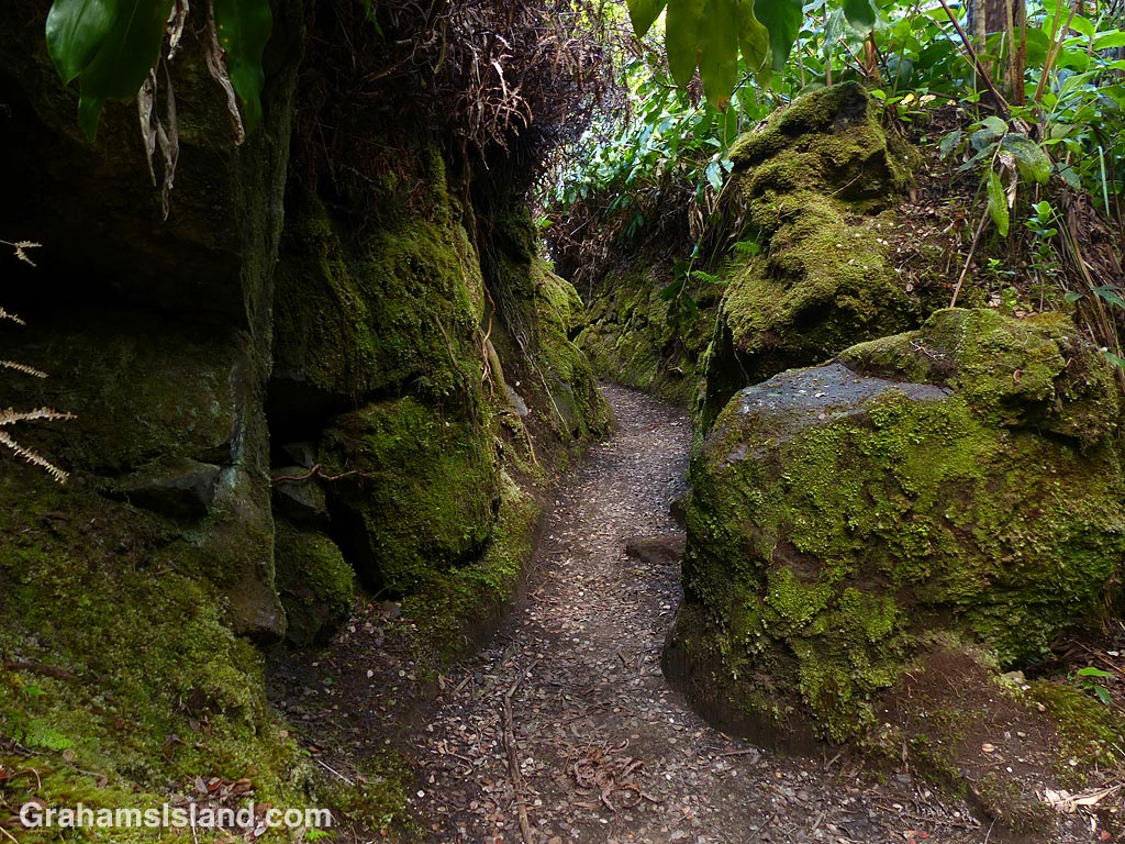
Back in June, I went to Hawaii Volcanoes National Park to do a little hiking. The park had recently reopened and I thought it would be a good time to do some of the popular trails near the summit that are usually crowded. I was right about this because I saw hardly anyone all day.

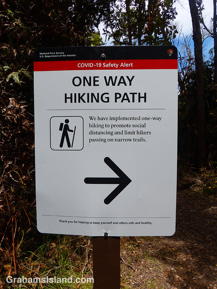
One of the trails I hiked was the Byron Ledge Trail and when I got to a junction near the end of it I came across this sign. I knew the park had made the popular Kilauea Iki Trail one way, but I hadn’t known about it applying to any other trails.

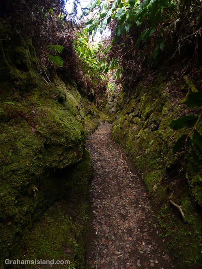
As you might have guessed, I arrived at this spot from the pointy end of the arrow. I’d hiked the trail in the wrong direction. The problem was that there was nothing at the other end of the trail letting me know I shouldn’t enter. When I hiked Kilauea Iki later, it was the same: at the parking lot there was a sign saying hike this way, but nothing at the other entrances to the trail.

On my way out of the park I stopped at the entrance and mentioned this to the ranger on duty. When I returned to the park in August, I asked the ranger at the entrance if they were still doing one way traffic on some of the trails. She said they weren’t. I wasn’t surprised. To do it properly, it would require a lot of signage and, with the Visitor Center closed, it would be hard to get the message across to everyone who visits the park.

For more information about Hawaii Volcanoes National Park, go to nps.gov/havo/.

Mossy path on the Halemaumau Trail

The Halemaumau Trail in Hawaii Volcanoes National Park takes hikers from near the visitor center down to the floor of the summit crater of Kilauea Volcano. It mostly passes through trees and some lush tropical foliage, this being the wet side of the island. Part of the way down the trail eases through a channel between two walls of rock, which are covered in moss. It’s a quite beautiful passage and, in this harsh volcanic area, has a remarkably soft feeling to it.

For more information about Hawaii Volcanoes National Park, go to nps.gov/havo/.

Pluchea carolinensis

Pluchea carolinensis is also known as sourbush and cure-for-all. This latter name probably comes from its medicinal use in its native range, which is the tropical Americas. It’s a member of the aster family – Asteraceae.

The plant was first reported in Hawaii in 1931 and on the Big Island in 1933. It’s believed to be an accidental introduction, possibly associated with shipping to Hawaii and within the islands. The onset of World War II prompted the plant’s spread through the Pacific, probably in military shipments.

On the Big Island it’s most often seen in drier coastal areas, but it can tolerate a variety of climates and conditions. These photos were taken on the Puna Coast Trail in Hawaii Volcanoes National Park.

For more information about Hawaii Volcanoes National Park, go to nps.gov/havo/.

Early morning pu’u

In Hawaii, a pu’u is a hill. These are old cinder cones that dot the landscape from the coast to the top of Mauna Loa and Mauna Kea.

Along Old Saddle Road, the land and it’s pu’us are grass-covered. This pastureland is cattle, horse, and sheep country, with a lot of goats thrown in for good measure. The land is steep and and rough and the grass varied, but the rainfall is heavy enough that there’s a lot of it.

Old Saddle Road is one of my favorite drives on the island, particularly in the early morning (above) and late afternoon (below).

Posted in response to Friendly Friday challenge theme of ‘Splendour in the Grass.’ See more responses here.