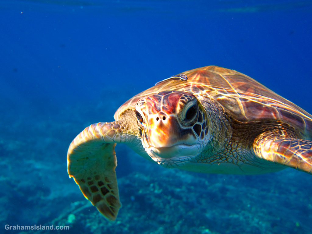
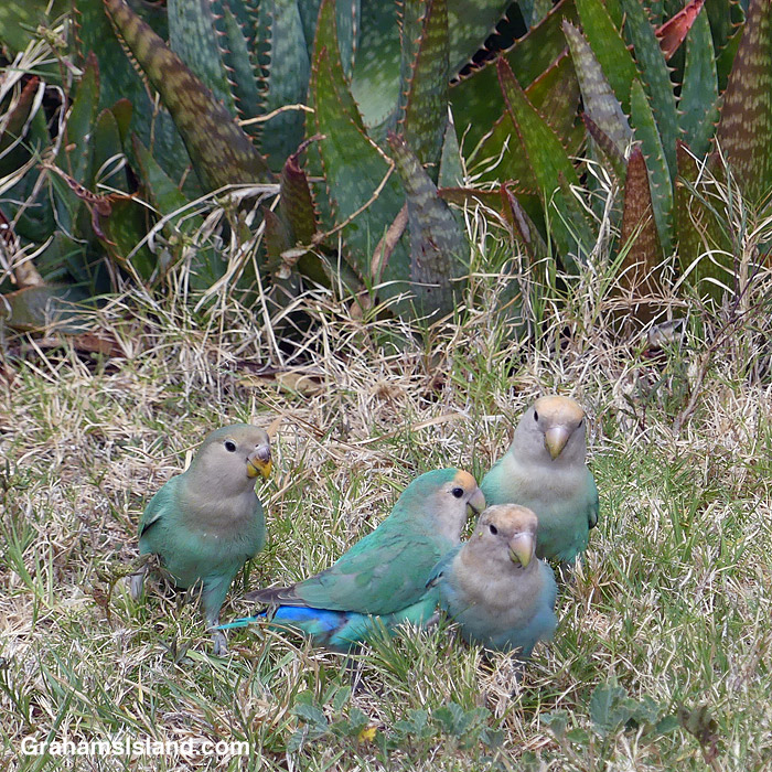
The idea of The Numbers Game is to enter a number into the search bar of your computer and then post a selection of the photos that turn up. This week’s number is 239. Captions are on the photos. You can see more responses here.


The idea of The Numbers Game is to enter a number into the search bar of your computer and then post a selection of the photos that turn up. This week’s number is 239. Captions are on the photos. You can see more responses here.
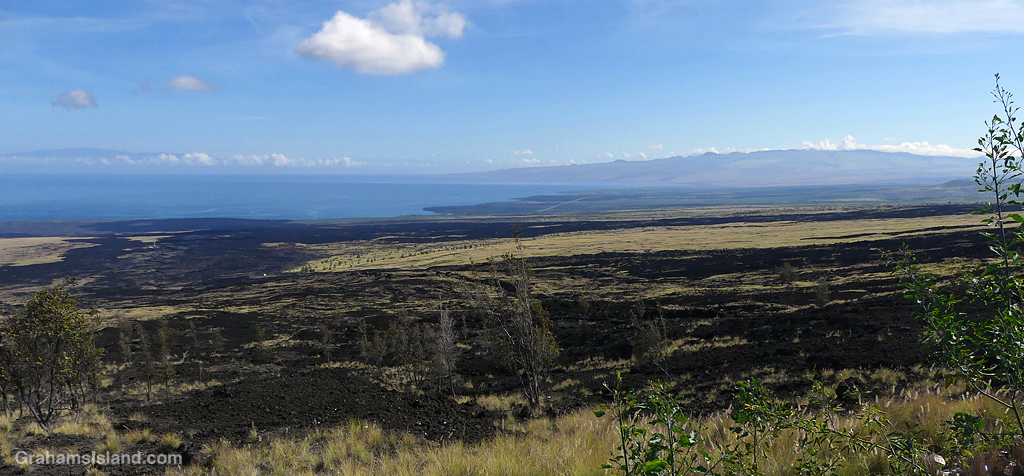
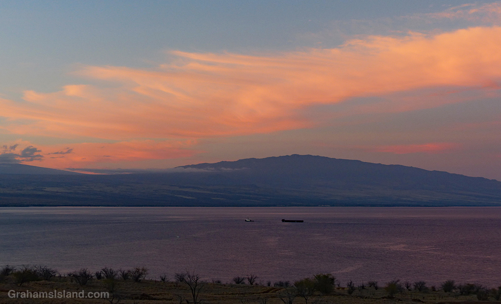
Looking north from the old Mamalahoa Highway, in the distance is Kohala Mountain on the right and Maui on the left. The black lava curving down to the ocean is the Kaʻūpūlehu lava flow from Hualalai Volcano. This flow, which occurred in 1800/1801, was the last time Hualalai erupted, though the volcano is still considered active.
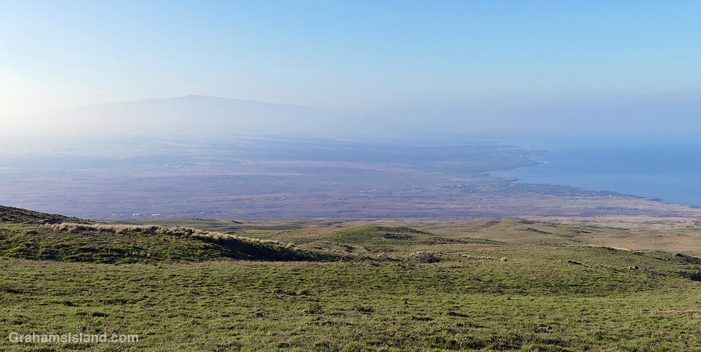
The current on again, off again eruption at Kilauea, combined with on again, off again trade winds has resulted in on again, off again vog. This was an on again voggy view towards Hualalai from the mountain road.
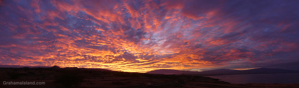
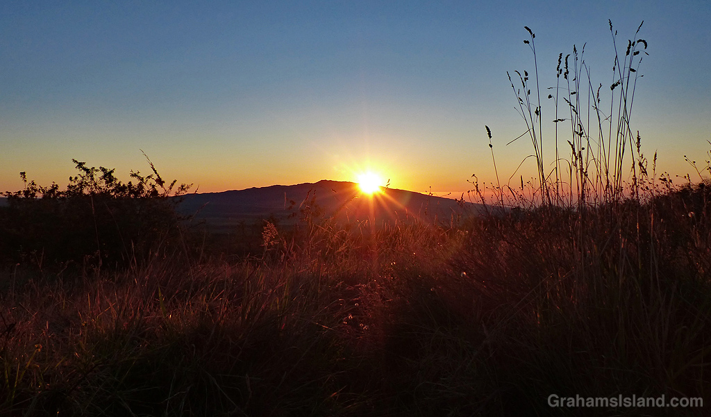
The sunrise from two mornings ago. This is a composite of four photos. The blending isn’t perfect, but I thought it worth doing for the scope of this dramatic sky.
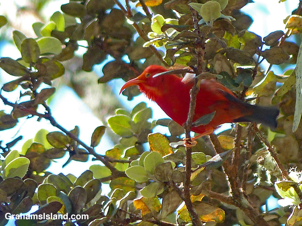
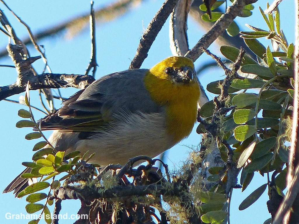
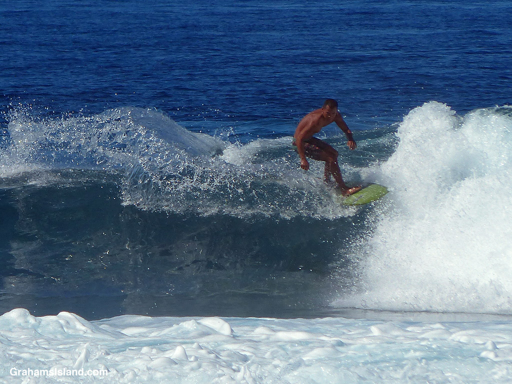
The idea of The Numbers Game is to enter a number into the search bar of your computer and then post a selection of the photos that turn up. This week’s number is 217. Captions are on the photos. You can see more responses here.
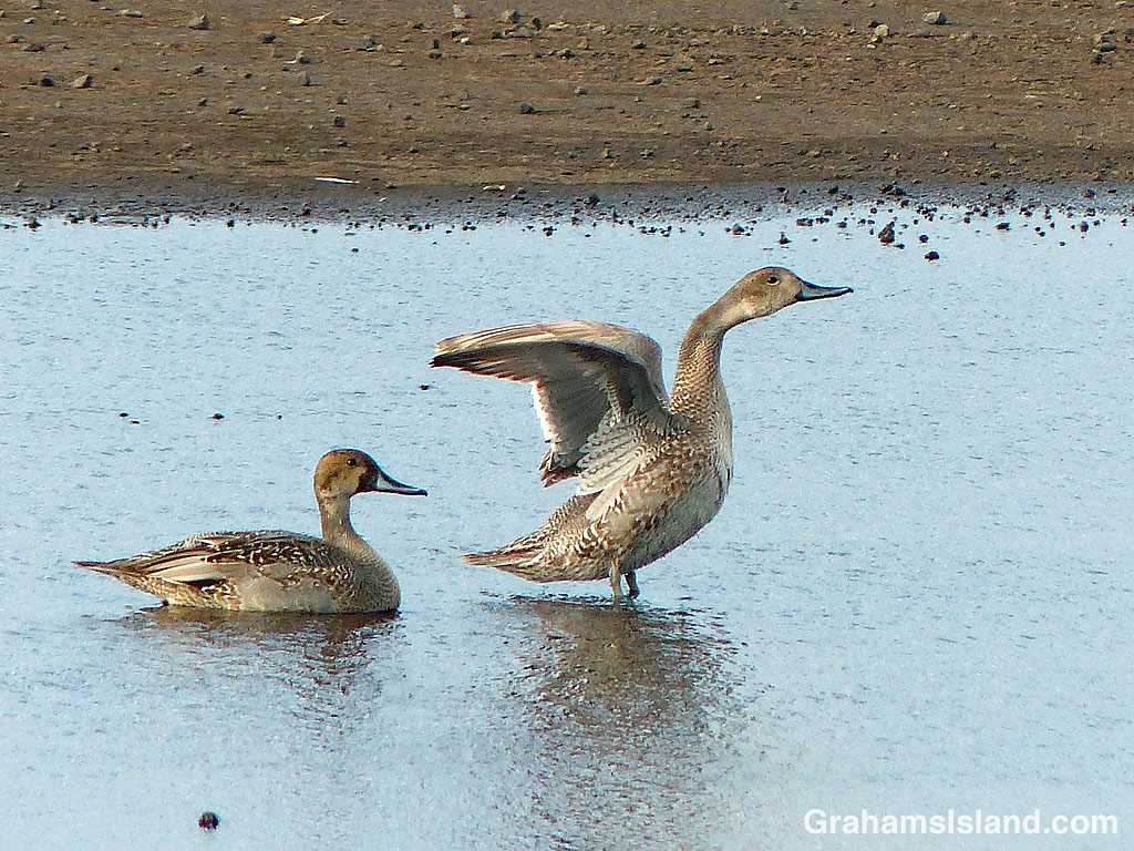
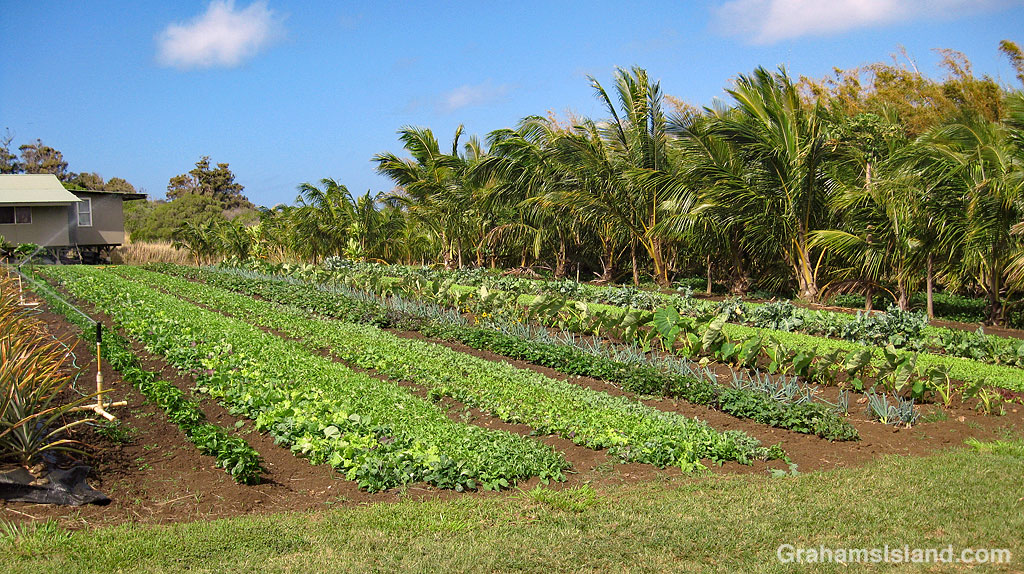
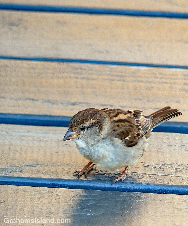
The idea of The Numbers Game is to enter a number into the search bar of your computer and then post a selection of the photos that turn up. This week’s number is 213. Captions are on the photos. You can see more responses here.
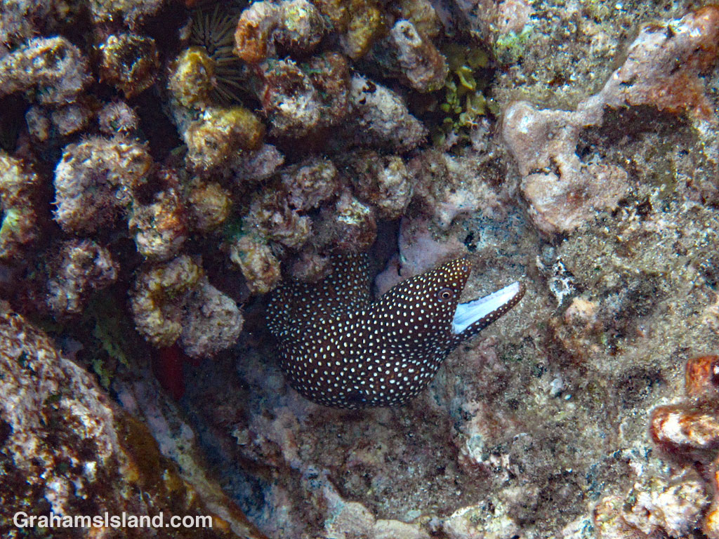
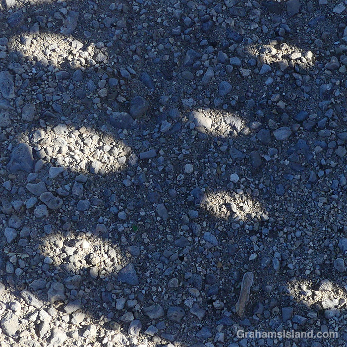
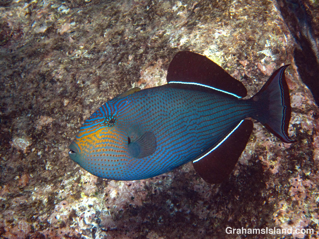
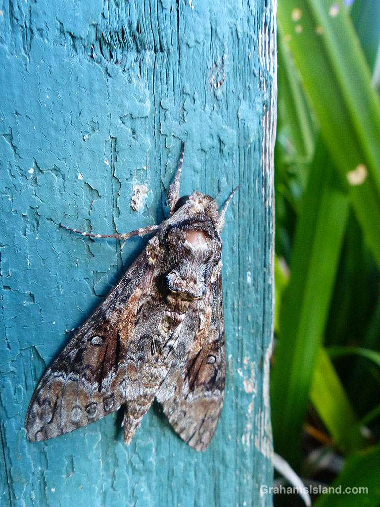
The idea of The Numbers Game is to enter a number into the search bar of your computer and then post a selection of the photos that turn up. This week’s number is 198. Captions are on the photos. You can see more responses here.
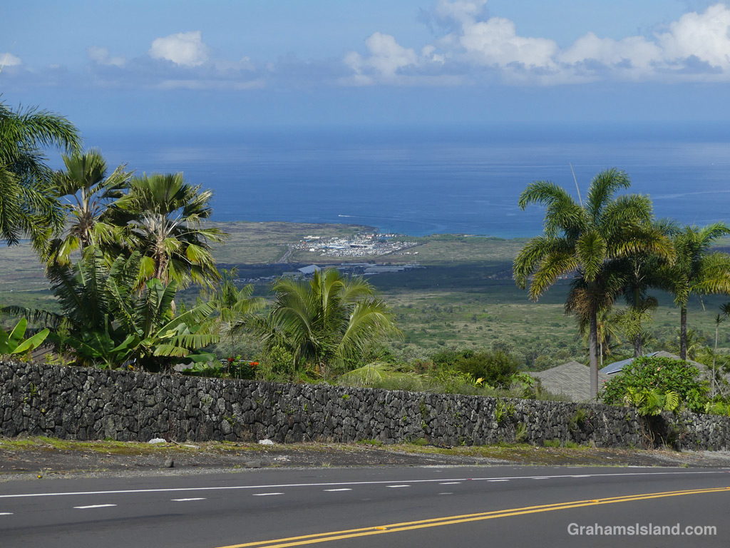
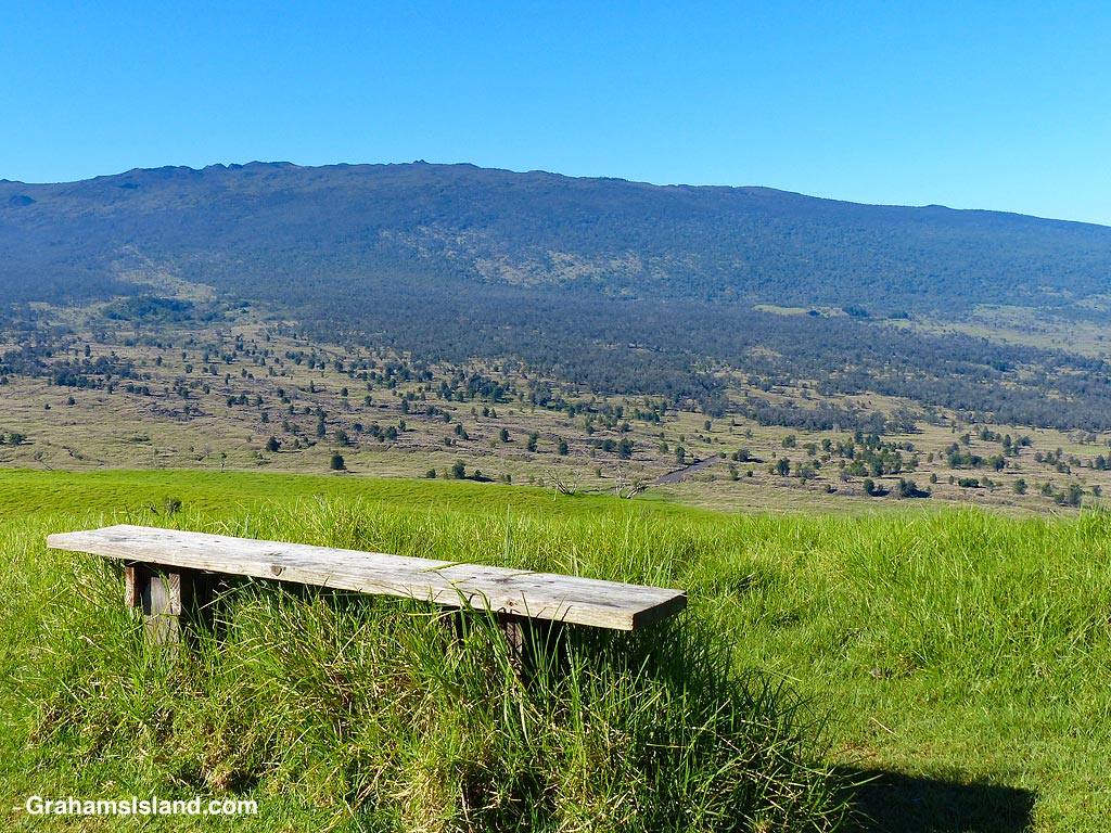
On the Big Island, Mamalahoa Highway is known as the top road. It’s part of the original road around the island. In the 1970s, the stretch between Kaiwaihae and Kailua Kona was supplemented with a new highway along the coast, known as Queen Ka‘ahumanu Highway or Queen K Highway.
Mamalahoa Highway travels father inland, up on the slopes of Hualalai Volcano. When it get towards Kailua Kona, those slopes are steep. It’s a big residential area with spectacular views out towards Maui and the sunset. The downside of the location is that anyone living there needs to make sure the brakes on their vehicles are always in tiptop condition.
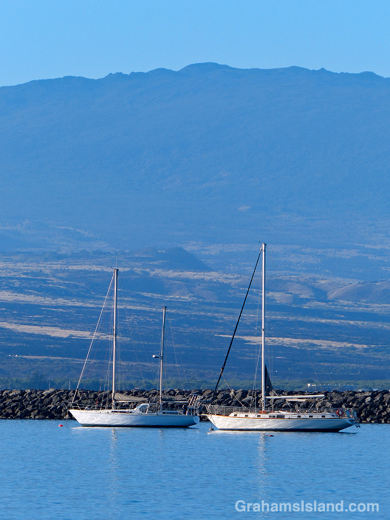
Posted for Bushboy’s Last on the Card. See more responses here.
