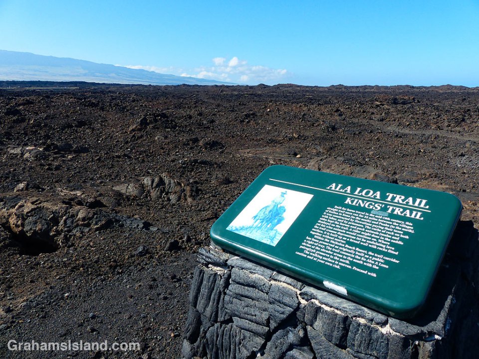
 The Kings’ Trail, is more properly known as the Ala Kahakai Trail (shoreline trail) or the Ala Loa Trail (long trail). The trail was created in the 1800s and stretched 175 miles from Upolu, at the northern tip of the island, down the west coast and up the south coast, to Kalapana in the southeast corner.
It passed through 220 ahupuaʽa, which were land divisions stretching from the ocean to the mountains. This meant that each ahupuaʽa contained the necessary resources to sustain its inhabitants.
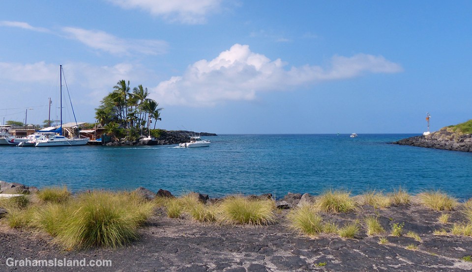
These days, some sections of the trail are open for hiking, but others cross private land. The goal is to reopen as much of the trail as possible to public use. These photos are of parts of the trail passing down the Kohala coast. In many places the trail is ramrod straight to make passage easier, though the surface is often uneven.
Posted in response to this week’s Friendly Friday challenge on the theme of ‘Pathways.’ See more responses here.

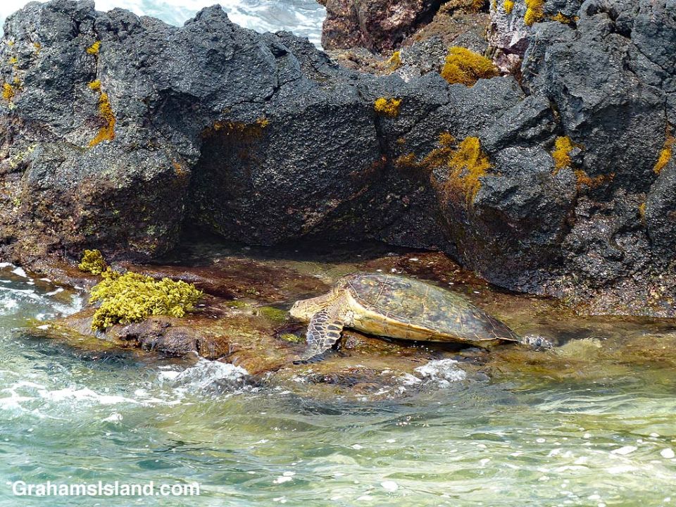
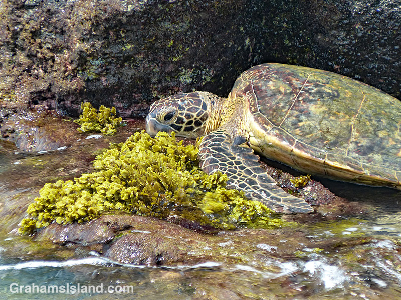
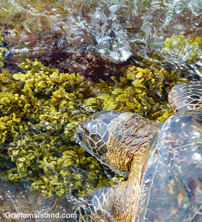 Toward the end of a hike along the coast, I came across this turtle feeding in a shallow tidal area. There was good grazing to be had, but the problem was that the ledge was continually swept by incoming waves.
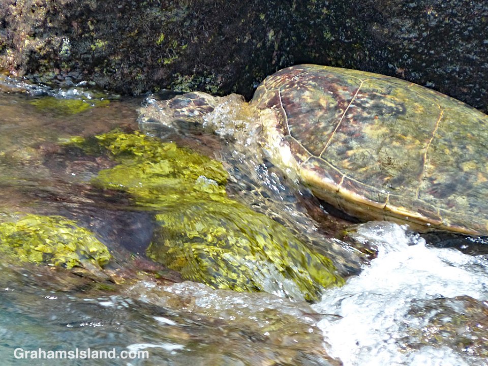

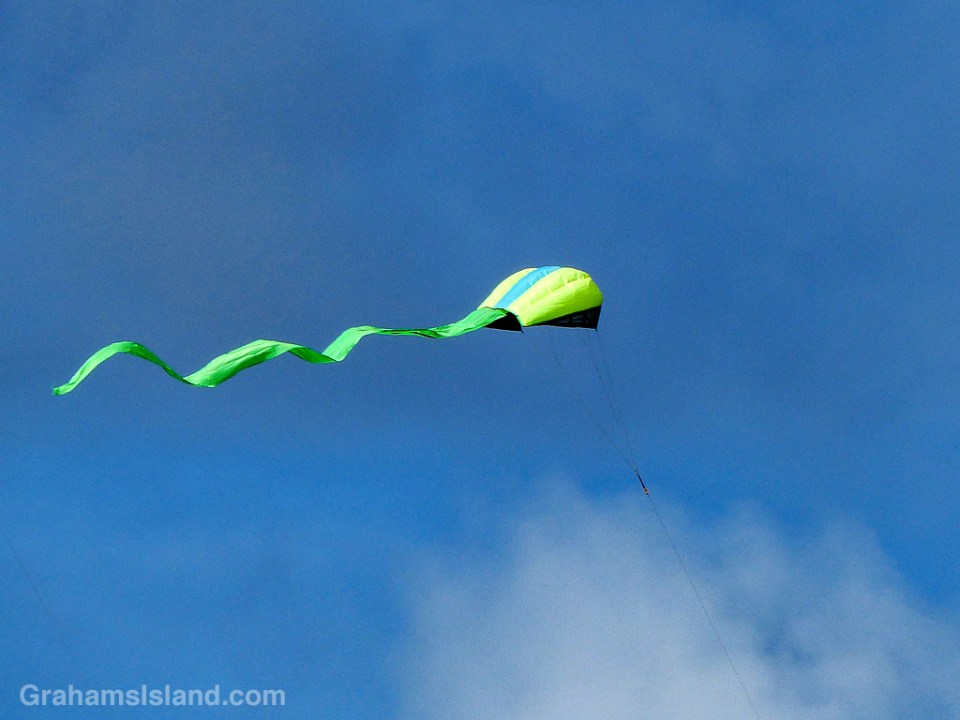
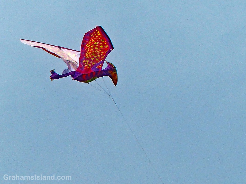
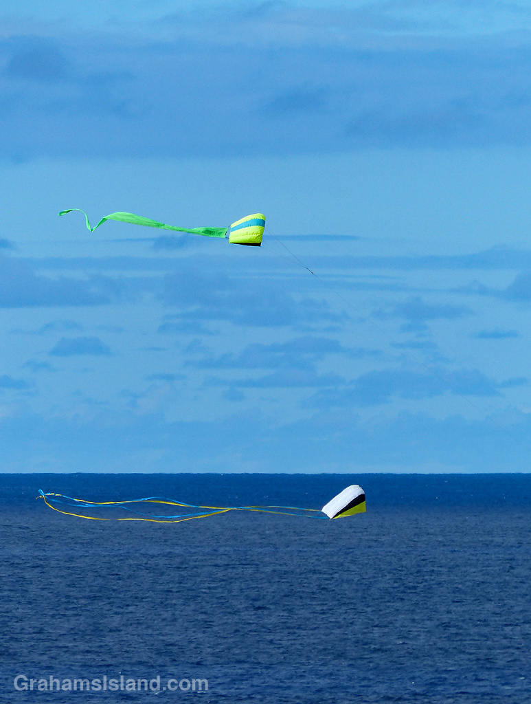 On one of my recent walks, I saw half a dozen kites soaring in the air and I realized it might be the first time I’ve seen kites around here. This is somewhat surprising since North Kohala is notoriously windy and seems like it would be a mecca for kite flying.