The idea of The Numbers Game is to enter a number into the search bar of your computer and then post a selection of the photos that turn up. This week’s number is 196. Captions are on the photos. You can see more responses here.
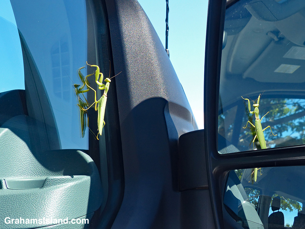


The idea of The Numbers Game is to enter a number into the search bar of your computer and then post a selection of the photos that turn up. This week’s number is 196. Captions are on the photos. You can see more responses here.

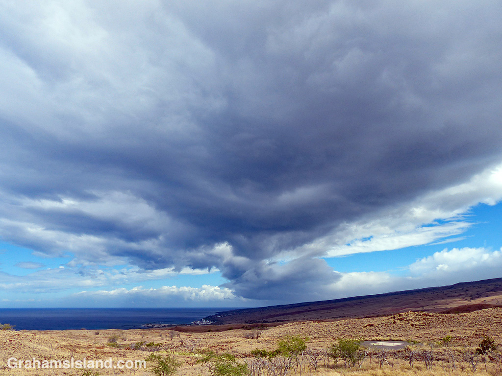
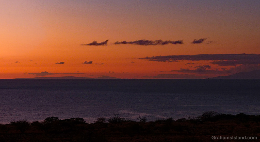
The faint outline of the uninhabited island of Kaho’olawe can just be seen on the horizon below the setting sun.

As the sun sets on this strange, unhappy year, here’s a photo of a more tranquil sunset. The long, low island on the left is Kahoʻolawe, with Lānaʻi visible just to the right of it. The southern coast of Maui is on the right.

Kaho’olawe is the smallest of the eight main Hawaiian islands and lies about 7 miles southwest of Maui. After stints as a penal colony and ranching country (resulting in extensive erosion), the island became a Navy bombing range during World War II. It wasn’t until the 1990s that this ended and the island was transferred to the state of Hawaii. Several years of unexploded ordinance removal followed.
Not surprisingly, the island is uninhabited and today it’s managed by a commission with a view to continuing its restoration.
For more information about Kaho’olawe, go to kahoolawe.hawaii.gov/home.php.
