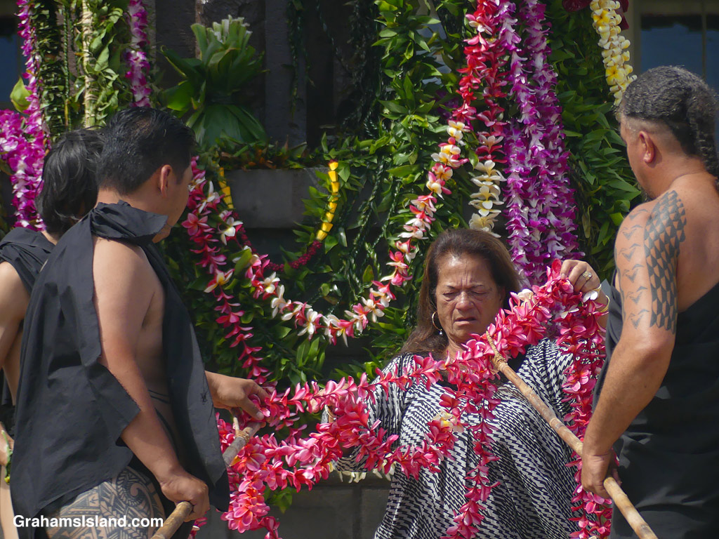
The idea of The Numbers Game is to enter a number into the search bar of your computer and then post a selection of the photos that turn up. This week’s number is 182. Captions are on the photos. You can see more responses here.

The idea of The Numbers Game is to enter a number into the search bar of your computer and then post a selection of the photos that turn up. This week’s number is 182. Captions are on the photos. You can see more responses here.
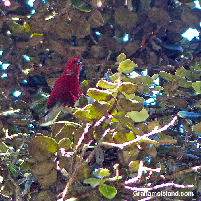
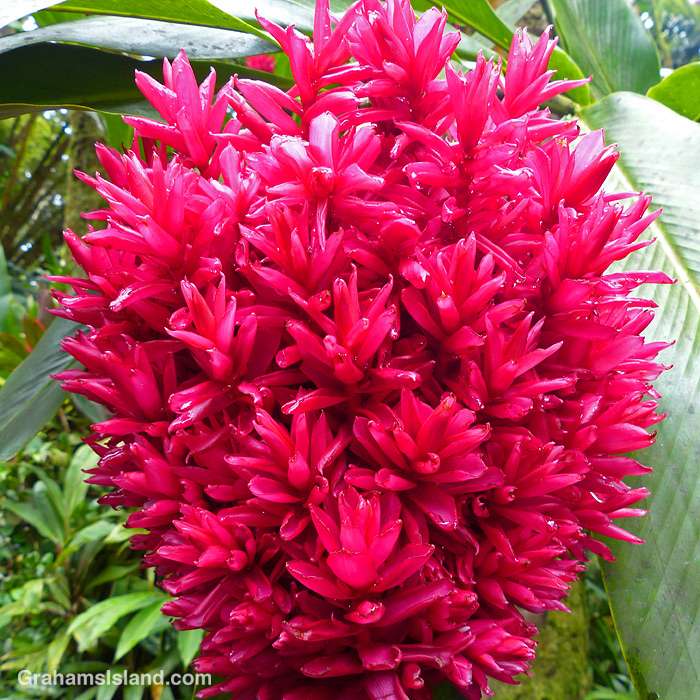
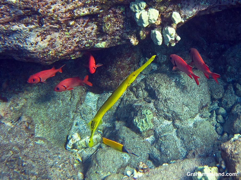
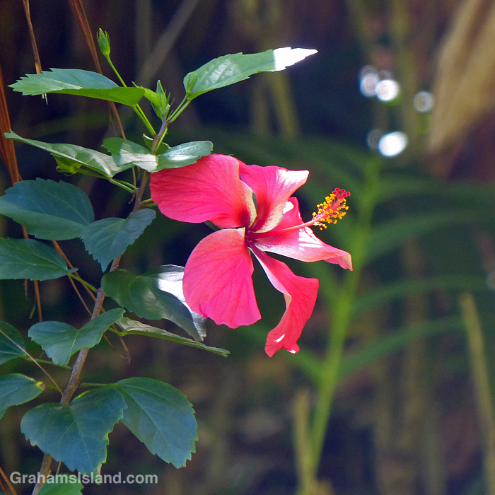
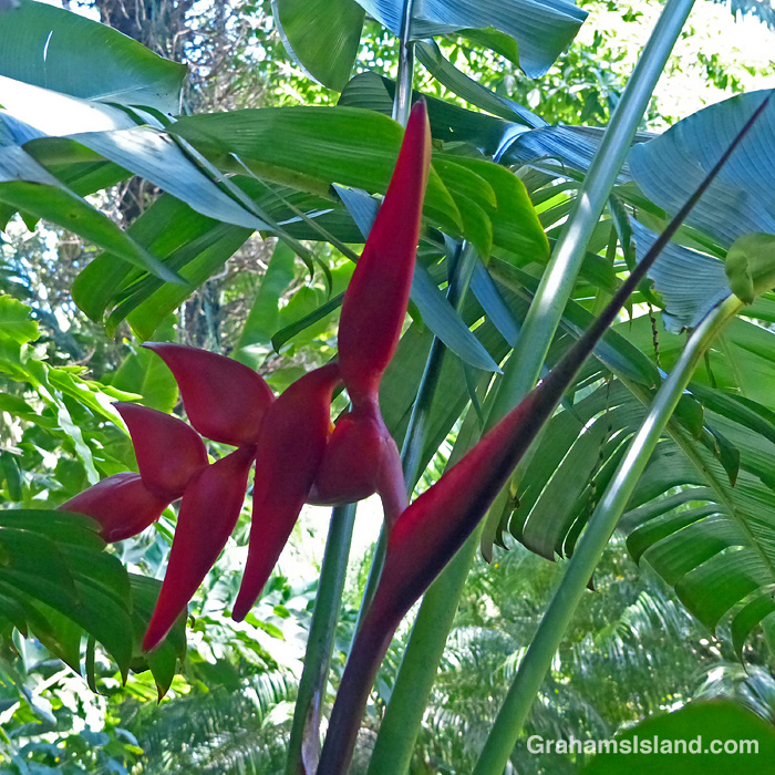
This week’s Sunday Stills color challenge theme is ‘Rosy Red.’ See more responses here. Captions are on the photos.

The old movie theater next door has been closed for many years, but this ventilator still twirls when the wind blows, which is often around here.
Posted for Becky’s Squares: Geometric. See more responses here.
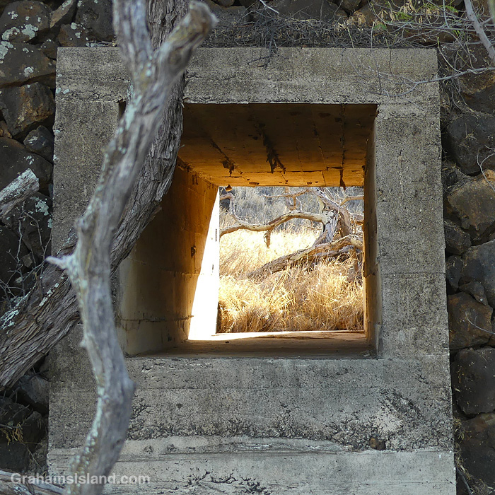
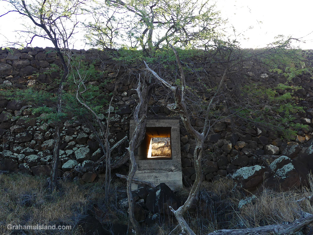
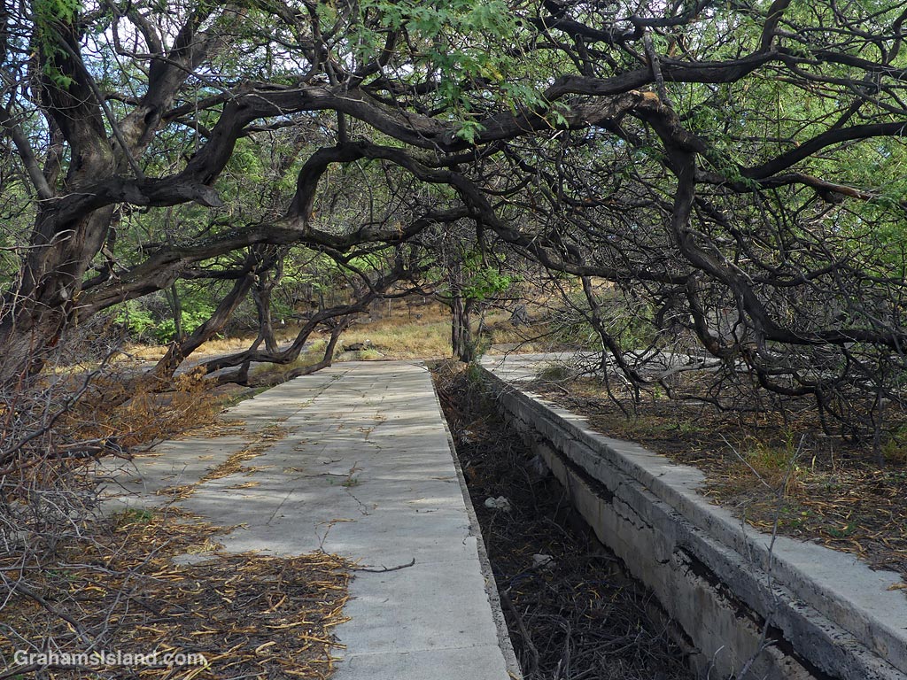
I’ve always thought this would be a great place to see a flash flood, or at least a little to one side of here. This is a culvert through an embankment of the old Kohala railway. Most of the time, it’s dry as a bone, but when it rains a good deal of water would be funneled through this spot.
These days, round pipes, made of steel or heavy duty plastic, are often used for culverts. This square concrete one looks built to last.
Posted for Becky’s Squares: Geometric. See more responses here.
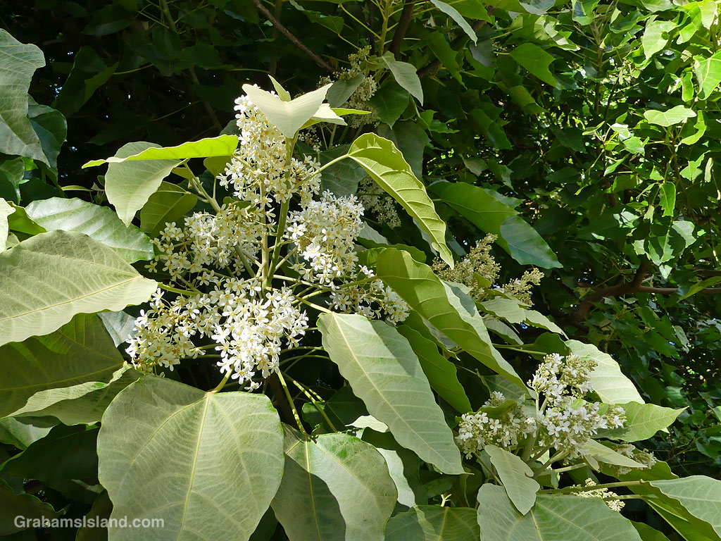

The Candlenut (Aleurites moluccanus) is known as Kukui in Hawaii and was brought to the islands by the original Polynesian settlers. It has a lot of uses, which made it an important plant here, and the masses of tiny white flowers make a wonderful sight.
For more information about Candlenuts, go to https://canoeplants.com/kukui.html.
Mahukona was the terminus for the railway which served the sugar plantations of North Kohala from the 1880s until its closure in 1945. There was no proper dock at Mahukona, so ships anchored offshore and the sugar was boated out to them.
There are quite a few relics from that time at Mahukona, including a terminus building. The area in this photo was likely a place where railway engine and equipment maintenance took place.
For more information about the Kohala sugar railroad, go to https://coffeetimes.com/blogs/history-culture/sugar-and-steam-in-kohala
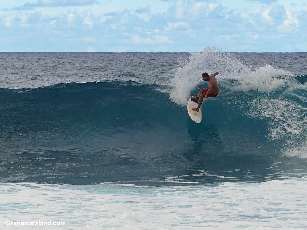
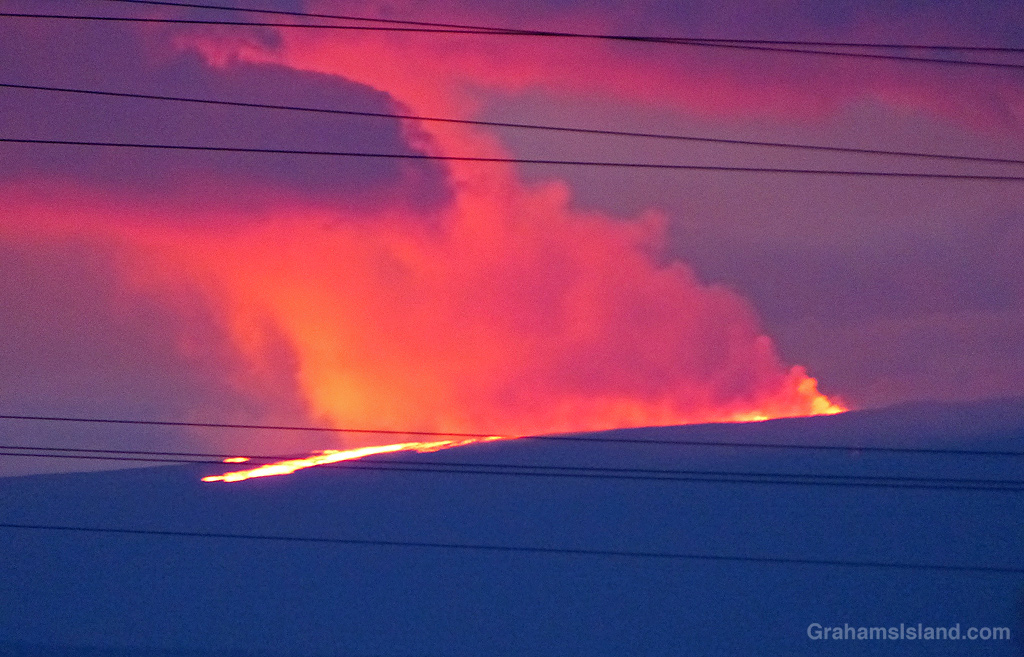
The Eddie Aikau Big Wave Invitational, commonly known as “The Eddie,” is scheduled to be held today. This big wave surfing event, at Waimea Bay on the North Shore of Oahu, only takes place when open-ocean swells reach a minimum height of 20 feet. Such swells result in wave faces of 30 to 40 feet in the bay. Because of this requirement, this event will be only the eleventh to go during the 40-year history of the tournament.
The tournament is invitation-only with 45 competitors lined up this year. If you’re interested in seeing the activities, the contest will be streamed on ripcurl.com or rogue.tv, starting around 8:00 am local time.
For more information about the event, go to https://www.theeddieaikau.com/ or https://en.wikipedia.org/wiki/The_Eddie.
The photo was taken from Keokea Beach Park, and features much, much smaller waves!
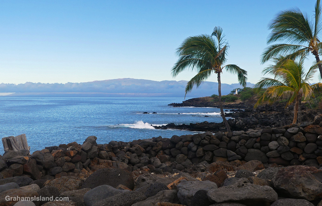
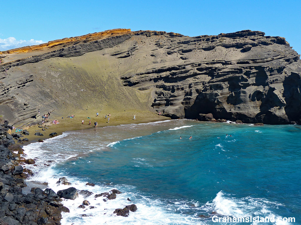
Lapakahi State Historical Park features the remains of an old Hawaiian fishing village. It also has great views of Maui when the weather cooperates.
