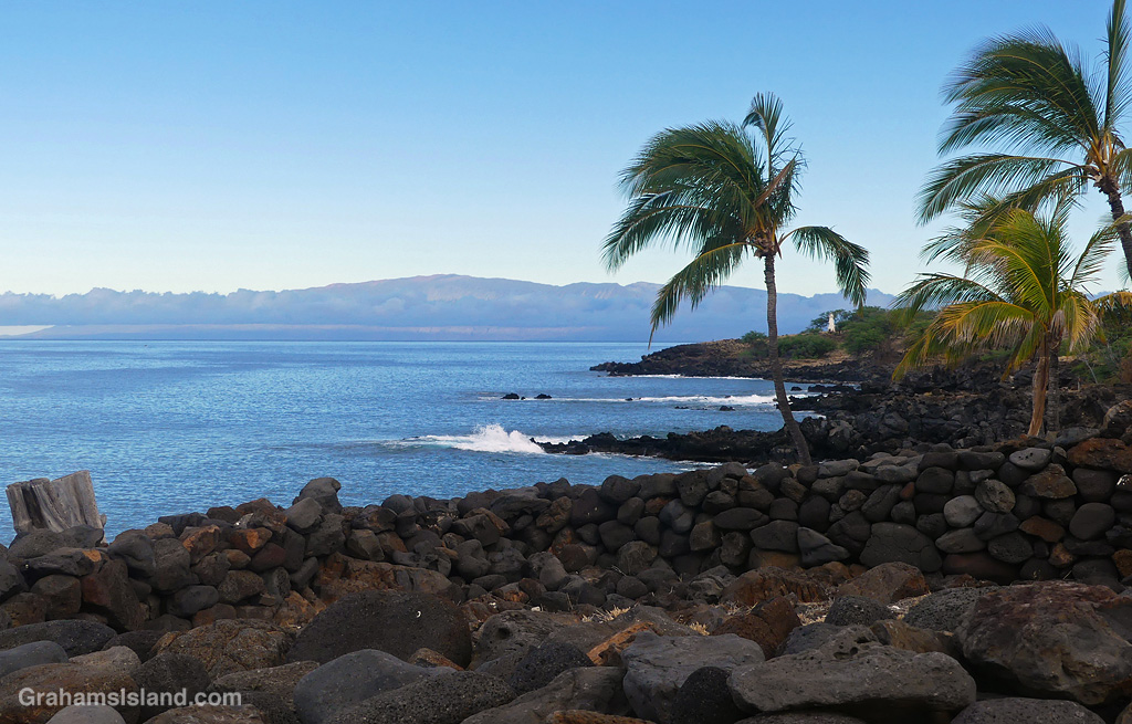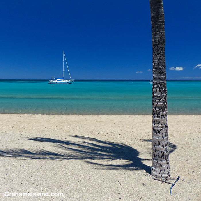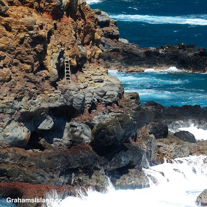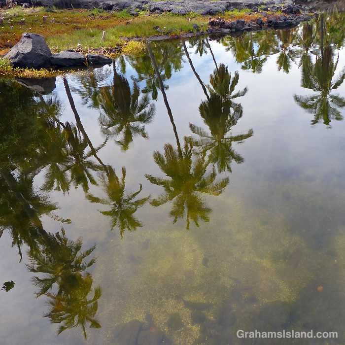
Lapakahi State Historical Park features the remains of an old Hawaiian fishing village. It also has great views of Maui when the weather cooperates.

Lapakahi State Historical Park features the remains of an old Hawaiian fishing village. It also has great views of Maui when the weather cooperates.

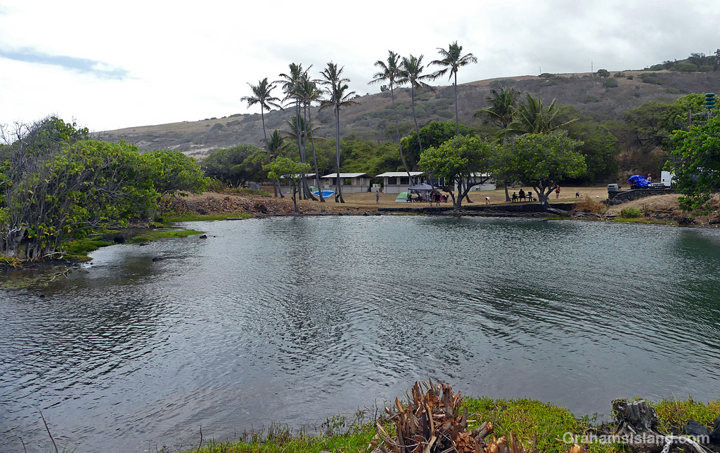
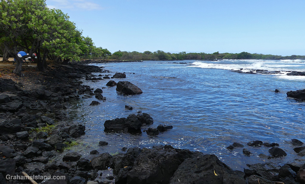
Whittington Beach Park sits on Honuʻapo Bay, a few miles northeast of the island’s southern tip. There’s no beach at the park, but there are old fish ponds and a lagoon where it’s relatively safe to get in the water. This makes it popular with locals, since such places are few and far between on this wild and rocky stretch of coast.
The early Hawaiians established a fishing village here that lasted until the mid-1800s, when drought, earthquakes and a tsunami brought about its demise. Some years later, a port was reestablished where goods could be brought to and from the surrounding area, which was home to a large sugar plantation.

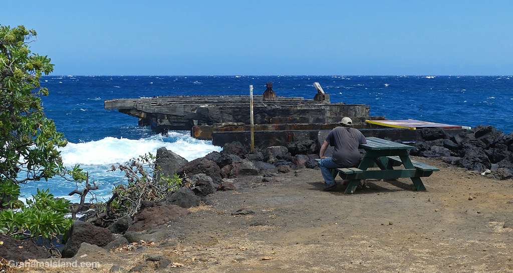
The remains of a concrete pier, built in 1910, can still be seen at the southeastern end of the park. I’ve read conflicting accounts of the cause of it’s demise, including a tsunami and bombing by U.S. planes in 1942 to prevent it being used by the Japanese in WWII!

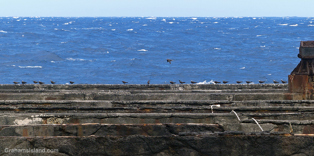
These days, it’s a good spot to watch the waves, and the noddies, twirling through the air as they go to and fro from their homes on the nearby cliffs.


The idea of The Numbers Game is to enter a number into the search bar of your computer and then post a selection of the photos that turn up. This week’s number is 164. Captions are on the photos. You can see more responses here.


The idea of The Numbers Game is to enter a number into the search bar of your computer and then post a selection of the photos that turn up. This week’s number is 161. Captions are on the photos. You can see more responses here.
Also, seven photos posted for Becky’s Squares: Seven. See more responses here.


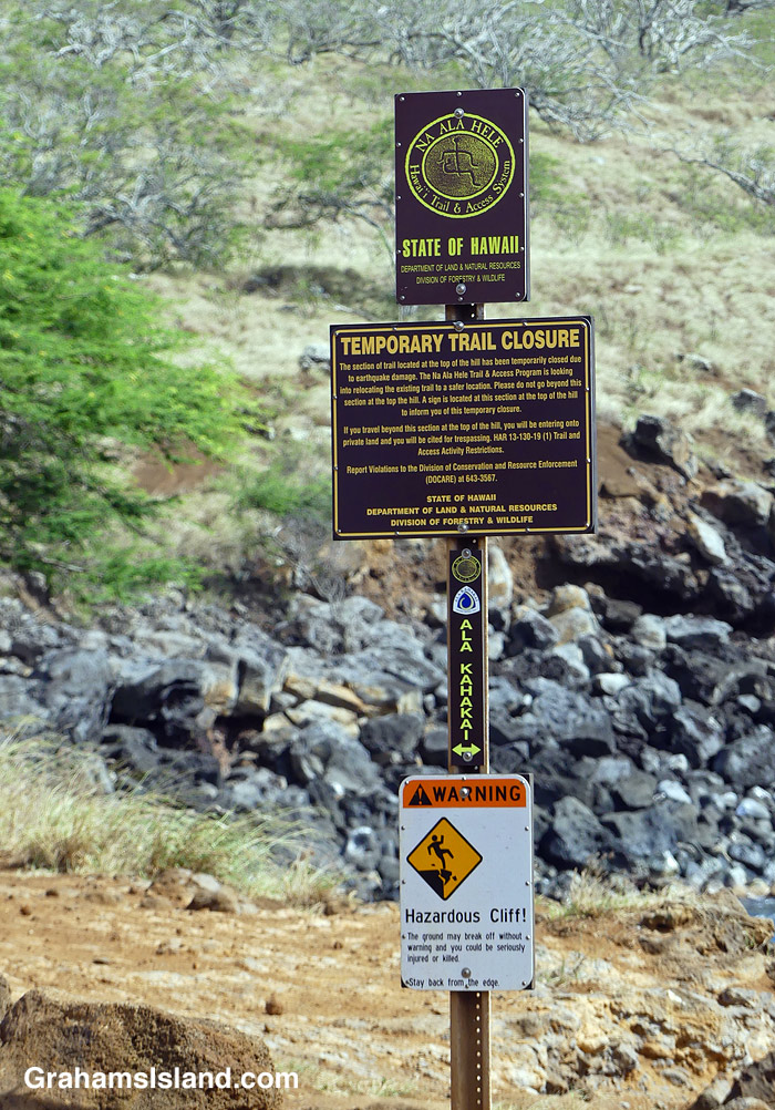
This sign has been in place, near the Old Coastguard Station in North Kohala, since I moved here. That was 12 years ago. But the sign was put in place six years earlier than that, after an earthquake caused the cliff, traversed by the trail, to slide into the sea.
The trail is the Ala Kahakai trail, a modern rendition of the network of trails used by the early Hawaiians. 175 miles long, it stretches from the northern tip of the island, down the west coast, and along the south coast through Hawaiʻi Volcanoes National Park. Segments of the trail are open to the public; other parts cross private property and are not yet accessible.
This ‘temporarily closed’ segment crosses the cliff frontage of a gated community. Rerouting the trail will require the cooperation of community residents impacted by moving the trail. This hasn’t happened yet.
I reckon the most likely change in this situation, that I might see in my lifetime, is that the sign will fall down. Replacing it could take several years!

This week’s Sunday Stills challenge theme is ‘Before and After.’ See more responses here.


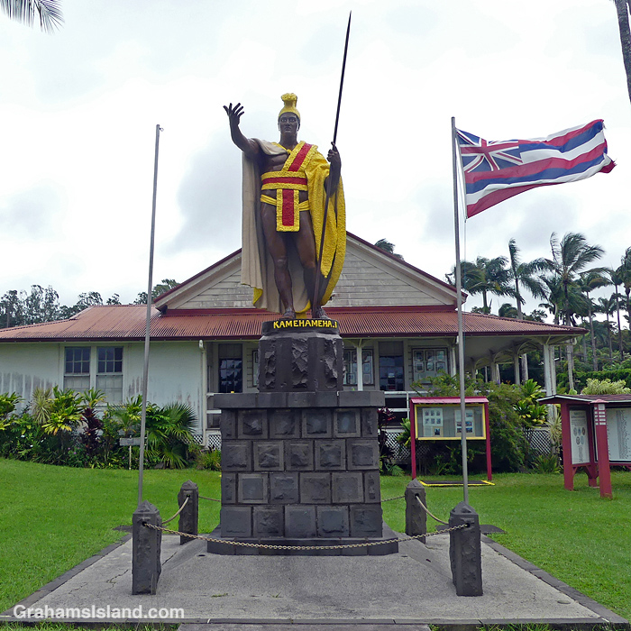
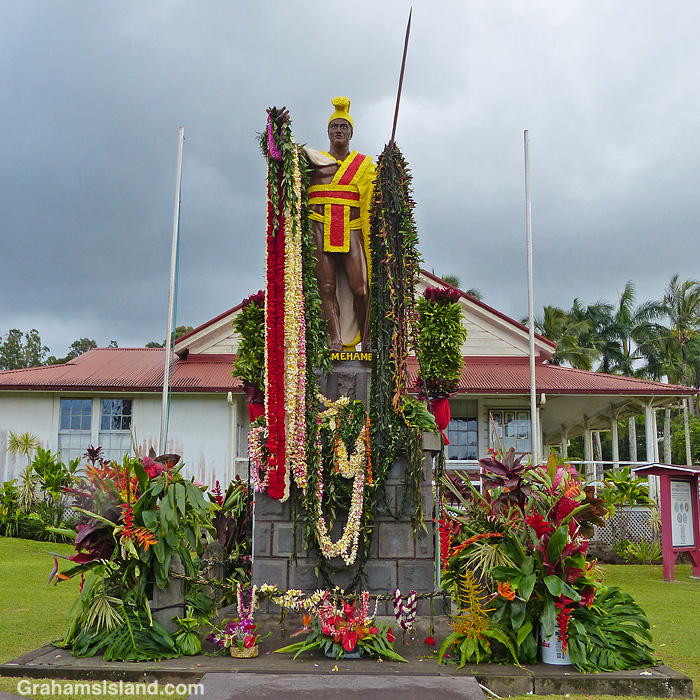
The statue of King Kamehameha I in Kapaau, then after his birthday celebration.

Take your pet to the vet. If it doesn’t go well, go next door afterwards and be reunited!


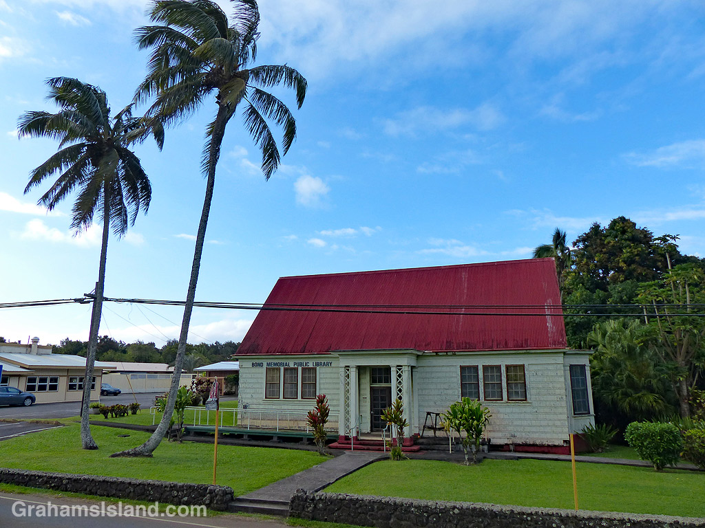
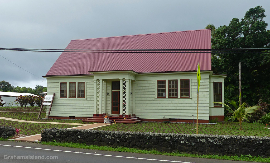
The old Bond Library in Kapaau, after refurbishment will be the Kohala Heritage Center.


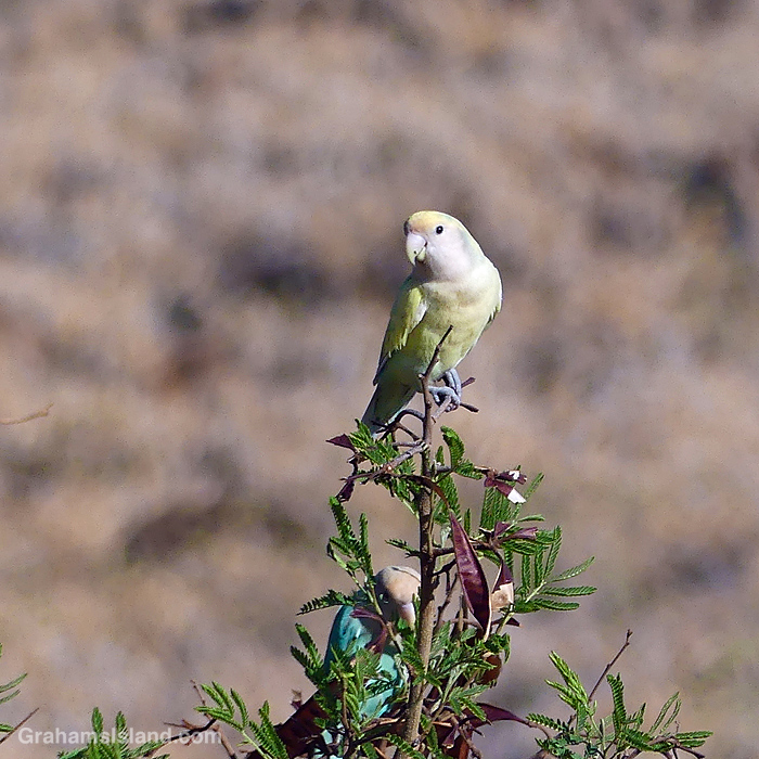
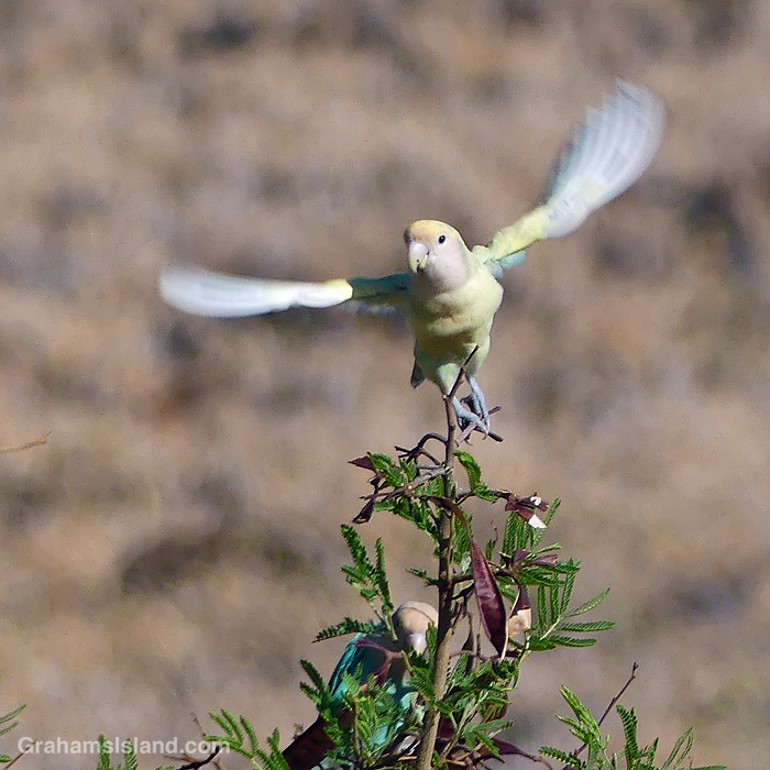
A Rosy-faced Lovebird perched on a branch, and afterwards, like this post, outta here!

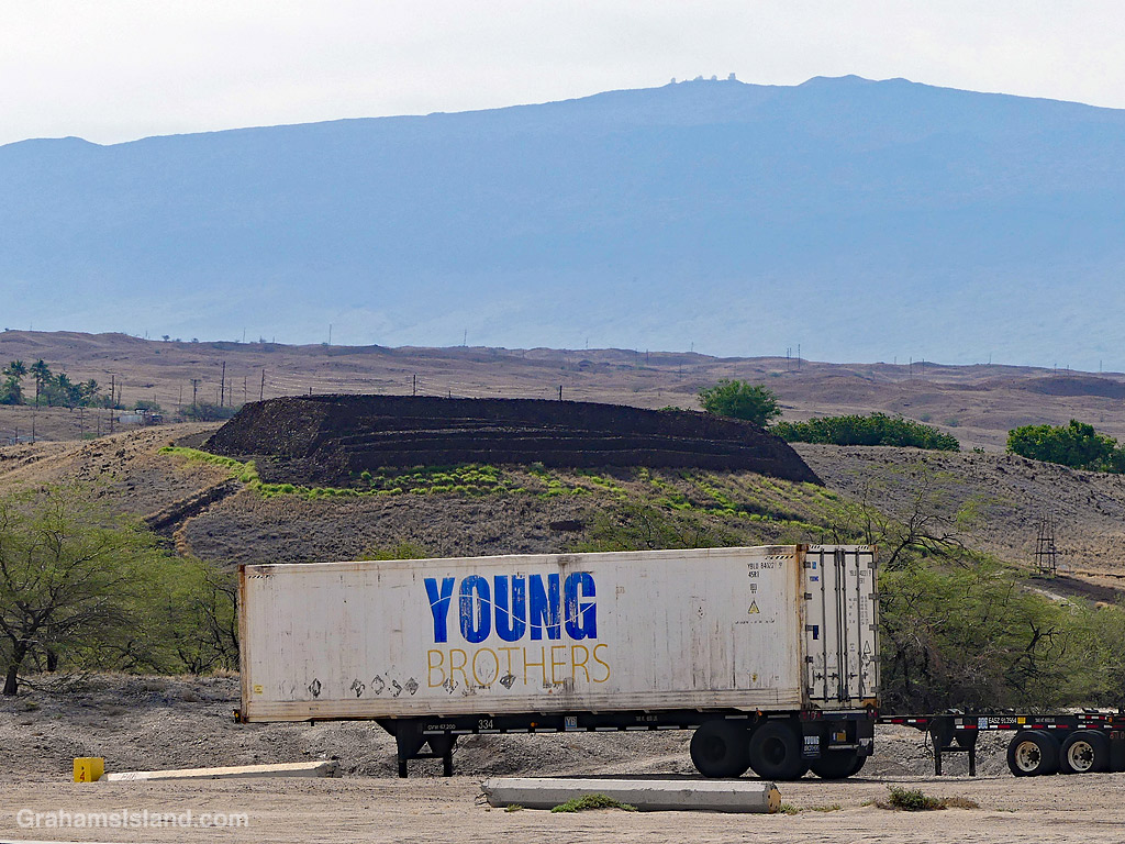
In the background, Mauna Kea is around one million years old.
In the middle, Pu’ukohola Heiau dates back to 1790, when King Kamehameha built it to fulfill a prophecy that an ongoing war would end and he would rule all the Hawaiian islands.
And in the foreground is a container that is clearly young!

This is the view from the bench at the top of the Alakaha ramp on the 1871 Trail, which heads south from Pu’uhonua o Hōnaunau National Historical Park. There was big surf on this day and the trail was getting regular clouds of spray from the breaking waves.
The bench though, sits above all that and also offers some shade. What’s not to like!