A little over a week ago, I posted photos here of the lava lake at Overlook vent, in Halema’uma’u Crater at the summit of Kilauea Volcano. Here’s a photo of the crater as early morning light illuminated the scene. Around that time the lava was repeatedly spilling out onto the crater floor.
Perhaps you’re wondering if anything has changed in the short time since then. If so, the answer is yes. The lava lake has disappeared, dropping more than 500 feet below the level of the crater floor. Exactly how far its fallen is hard to find out because the people who monitor it have been busy with other things.
On Monday, after a period of increased seismicity, the crater floor of Pu’u O’o vent, the other active vent on Kilauea, collapsed sending a huge ash plume into the sky. When the ash cleared all the lava had disappeared from the vent. This coincided with ominous rumblings and grumblings east of the vent, along the East Rift Zone. Small earthquakes shook the ground. Cracks appeared in paved roads. Lava was believed to be bubbling underground.
On Thursday morning, a magnitude-5.0 earthquake caused another collapse at Pu’u O’o crater. On Thursday afternoon, around 5 p.m., lava erupted in the middle of the Leilani Estates subdivision in the Puna district. A fissure appeared in the ground and molten lava bubbled forth, shooting into the air. This lasted around 2 hours, then ended.
On Friday, yesterday, other fissures opened and poured forth lava, closed again, only for new eruptions to occur elsewhere, but in the same general area. Leilani Estates has been evacuated and is now patrolled by the National Guard. Dangerous sulphur dioxide hangs in the air. Will a full blown eruption occur in that area or will it shut down and appear somewhere else? Nobody knows. People who had to leave their home on 20 minutes notice don’t know when they’ll be able to return or whether there will be anything to return to.
Up here, on the northern tip of the island, there is no danger, though two earthquakes, a magnitude-5.4 around 11:30 a.m. on Friday, and a much more noticeable magnitude-6.9 around 12:30 p.m., were definitely felt. By the time you read this, chances are everything will have changed. That’s the unpredictable, unexpected and often unlikely life, living on an active volcano.
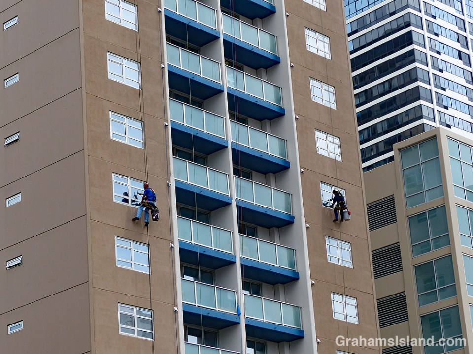
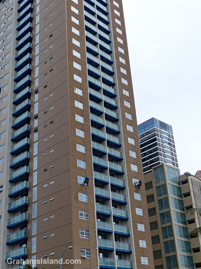
Posted in response to this week’s WordPress Photo Challenge ‘Unlikely.’


 On the first decent day after a long spell of grey, wet weather, I headed up to the Palila Forest Discovery Trail, just off Saddle Road on the lower slopes of Mauna Kea. I figured that even if the weather let me down, it’s a drive that I enjoy, so it would be OK regardless.
 Driving past Hawi Wind Farm, I unexpectedly ran into several clouds of gnats. I quickly rolled up the windows on my truck, not needing a cab full of gnats to influence my driving. Sometimes the clouds blended and made one big gathering, and I was reminded of murmurations of starlings, though perhaps not as dramatic.