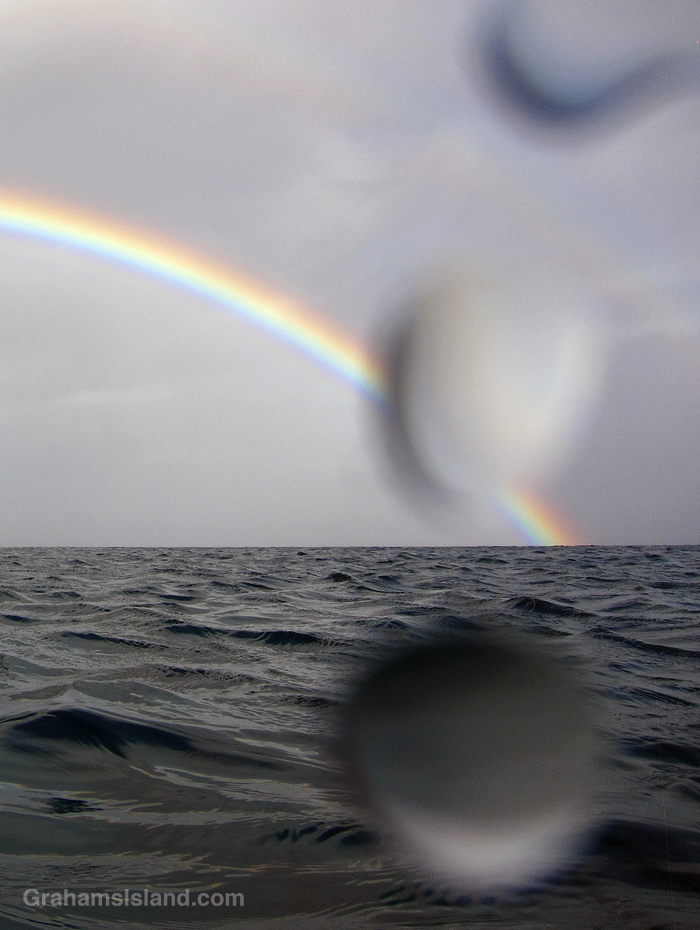
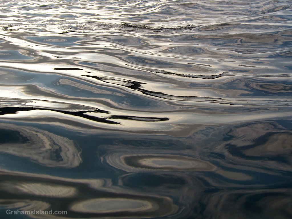
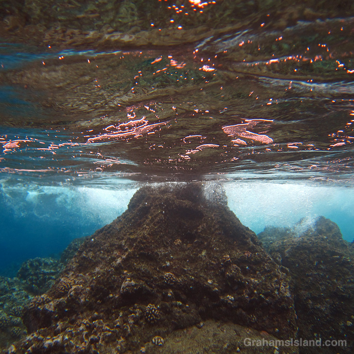
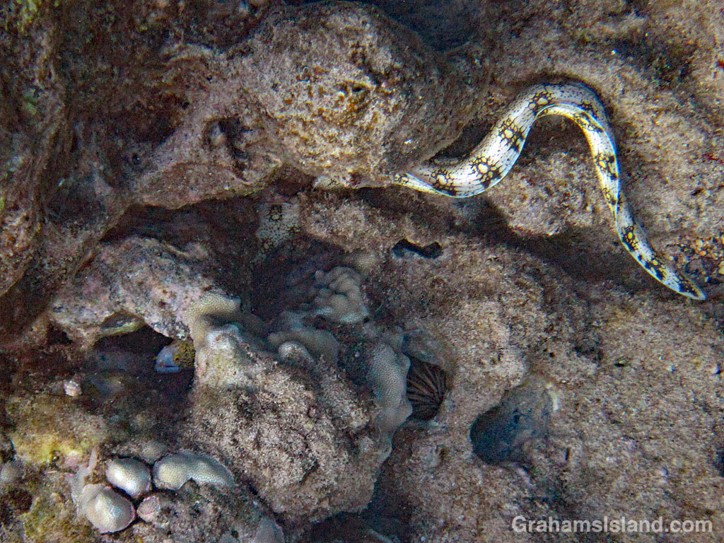
When I’m in the water and taking photos of things out of the water, I’m never sure whether there’s water on the camera housing. In this case, these three drops appeared in the photo, but I kind of like it!

When I’m in the water and taking photos of things out of the water, I’m never sure whether there’s water on the camera housing. In this case, these three drops appeared in the photo, but I kind of like it!
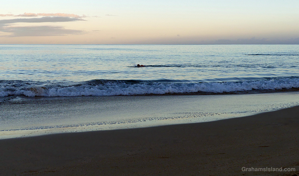
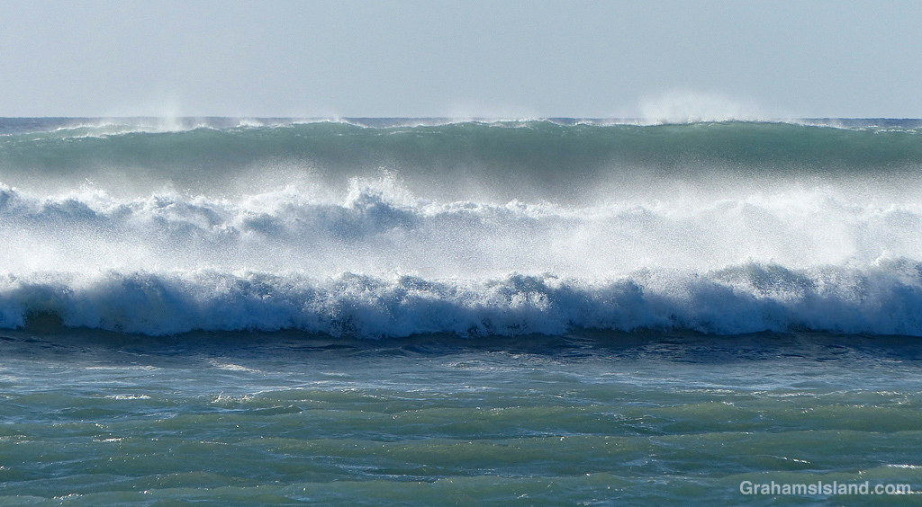
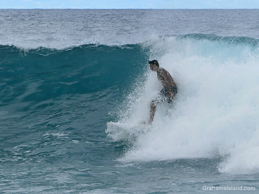
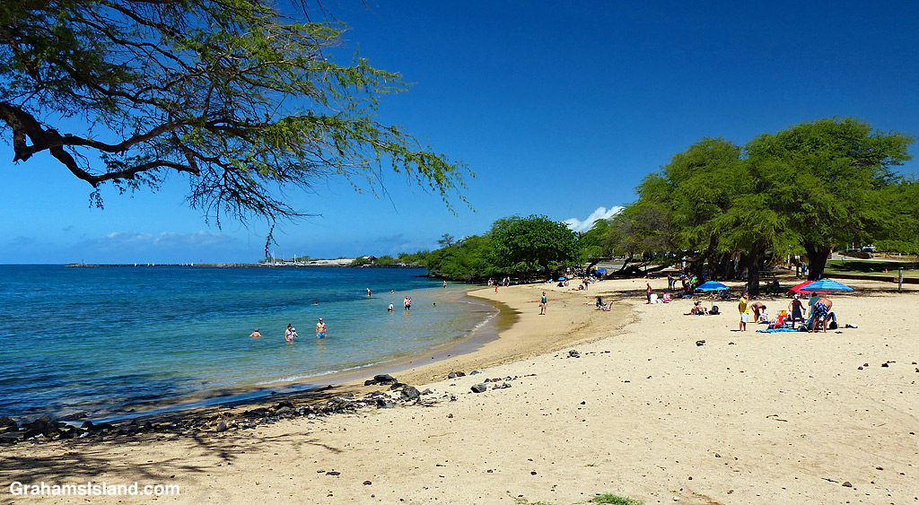
This week’s Sunday Stills challenge theme, guest hosted by Cathy at Between the Lines, is ‘Seascapes.’ See more responses here. Captions on the photos.
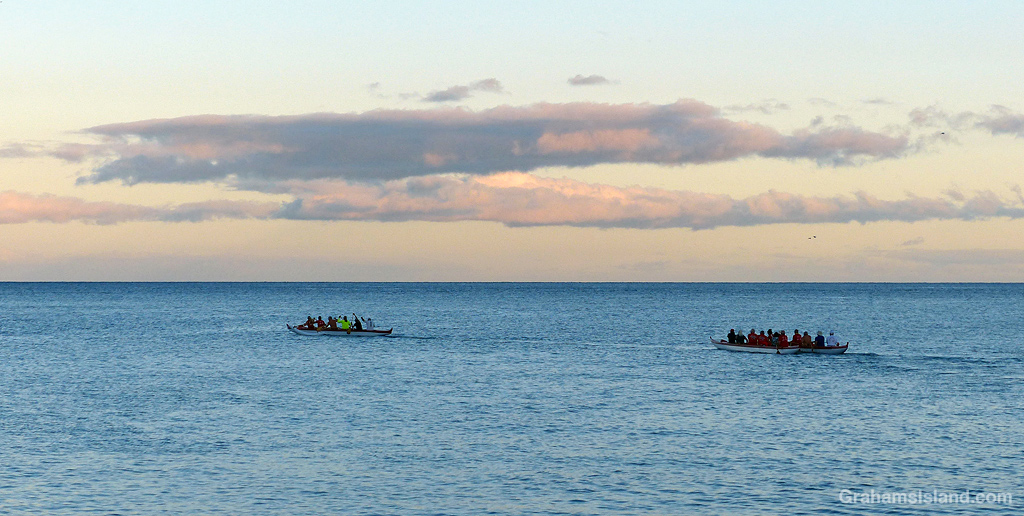
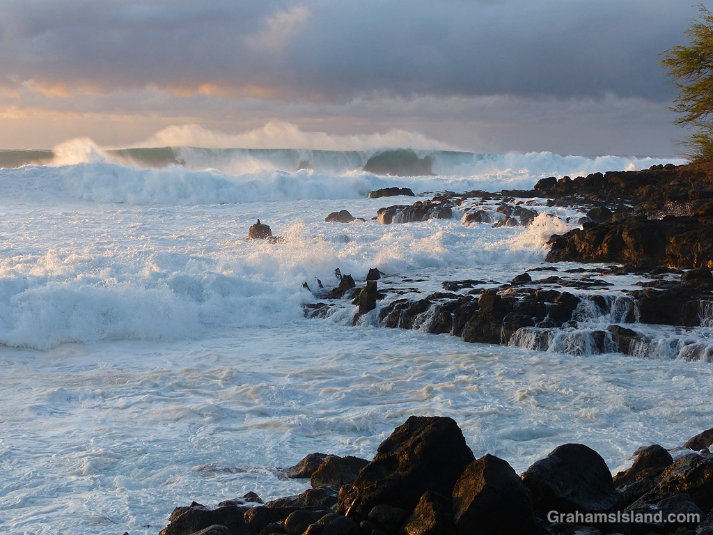

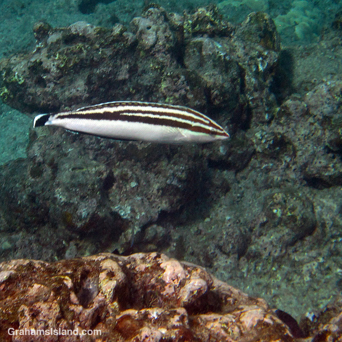
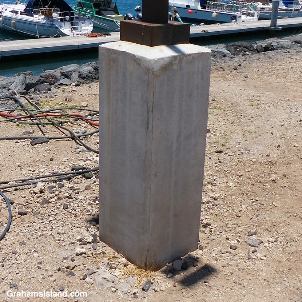
The idea of The Numbers Game is to enter a number into the search bar of your computer and then post a selection of the photos that turn up. This week’s number is 222. Captions are on the photos. You can see more responses here.
Also posted for Becky’s Squares: Shadows. See more responses here.
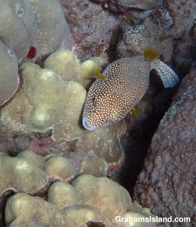
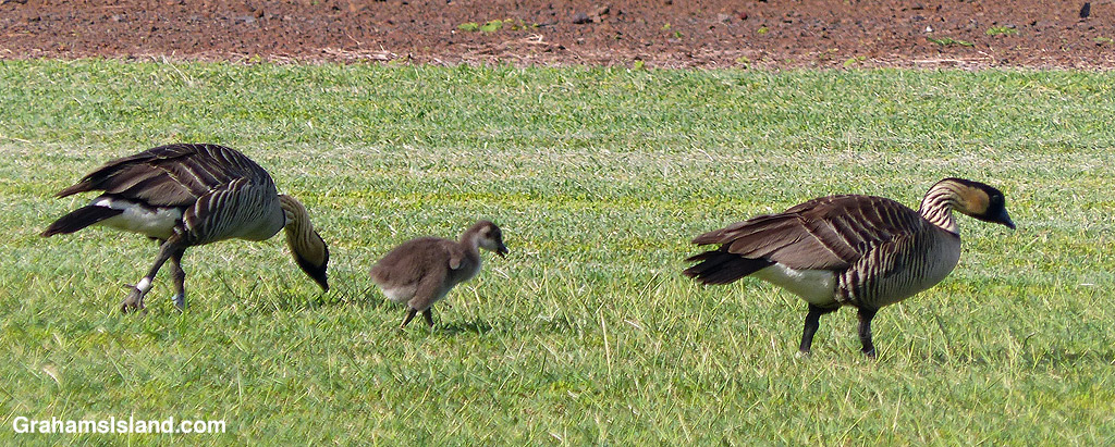

The idea of The Numbers Game is to enter a number into the search bar of your computer and then post a selection of the photos that turn up. This week’s number is 220. Captions are on the photos. You can see more responses here.
Also posted for Becky’s Squares: Shadows. See more responses here.
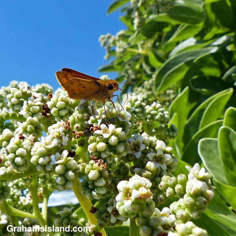
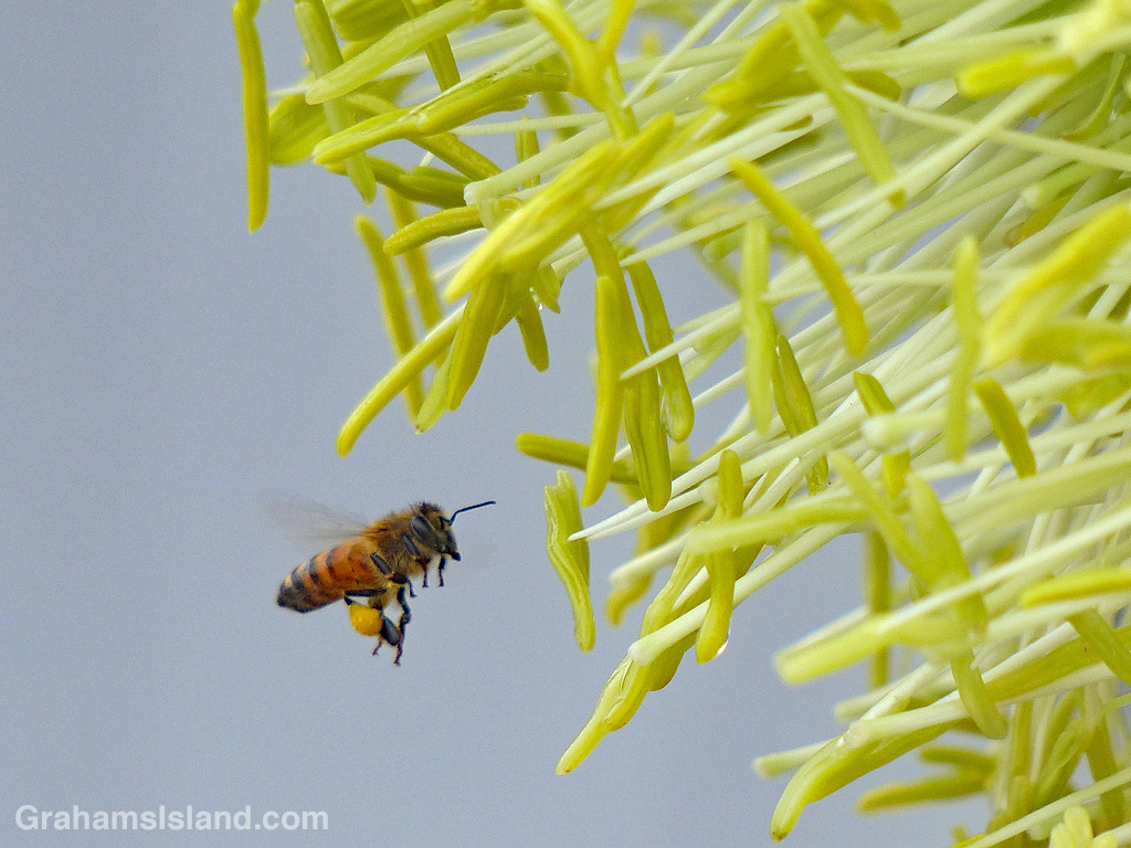
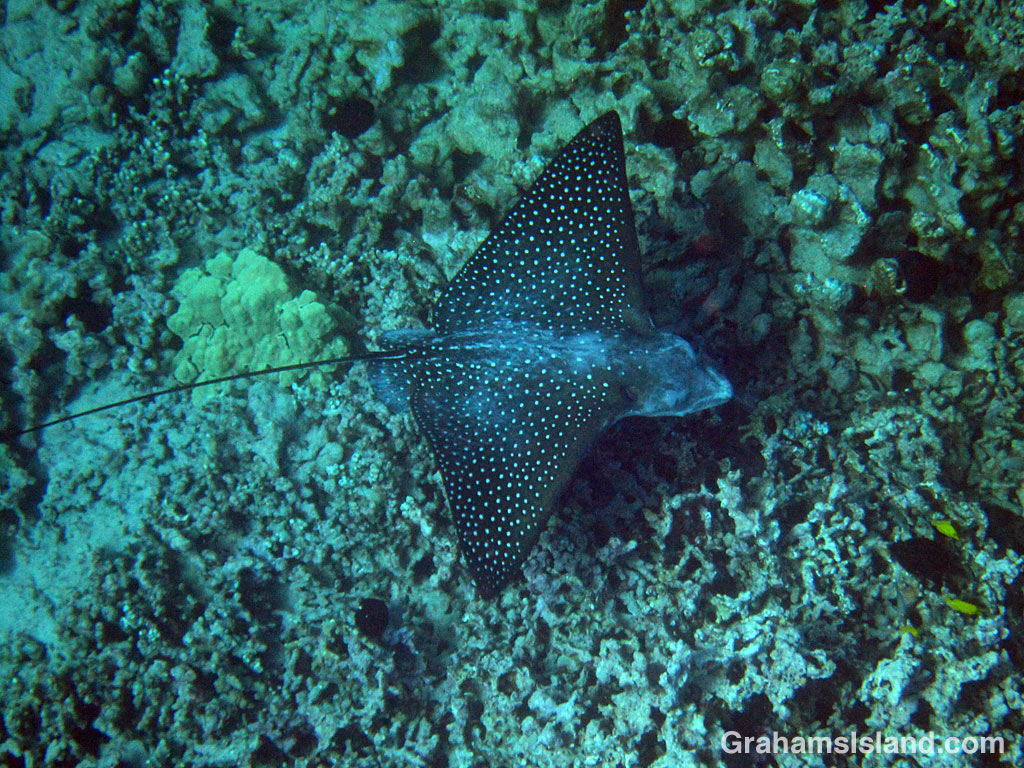
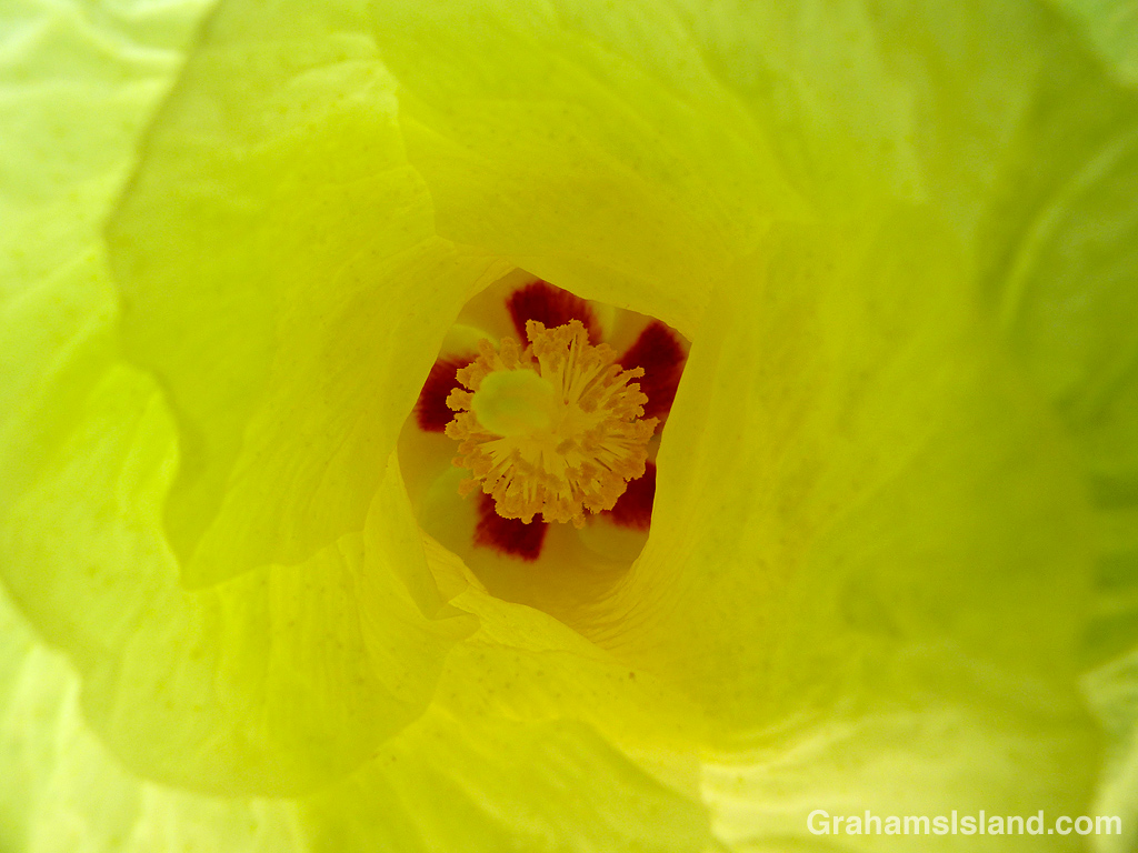
The idea of The Numbers Game is to enter a number into the search bar of your computer and then post a selection of the photos that turn up. This week’s number is 186. Captions are on the photos. You can see more responses here.
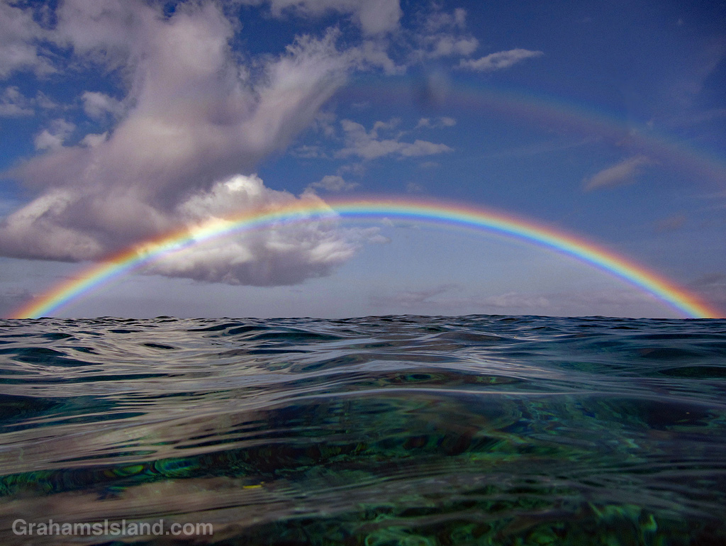
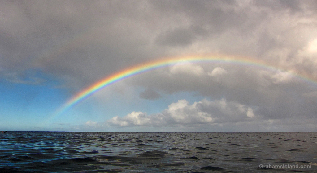
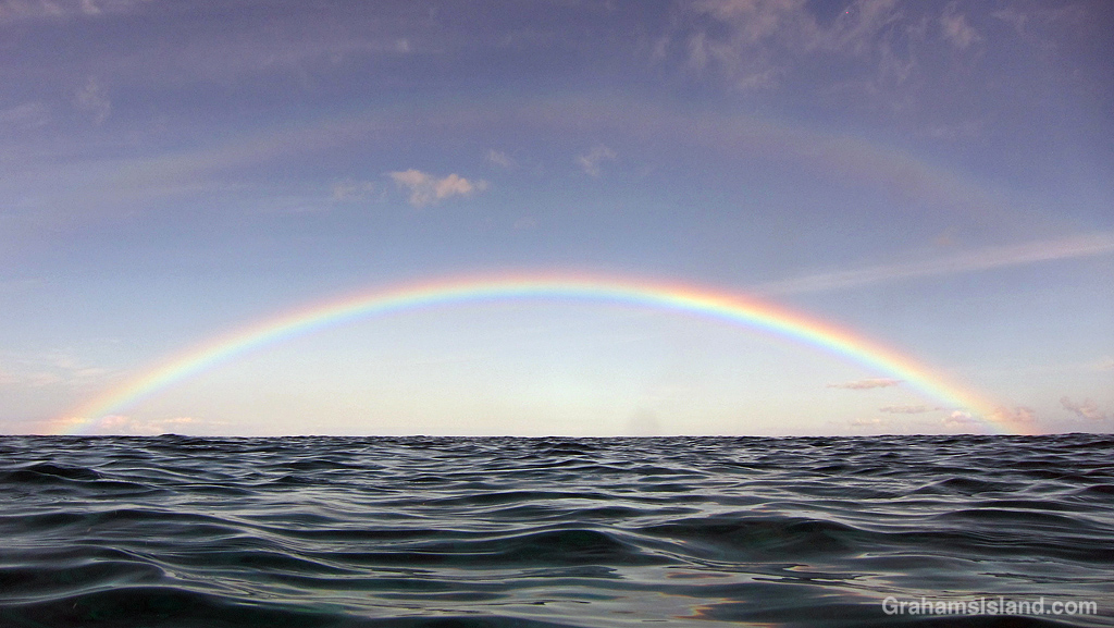
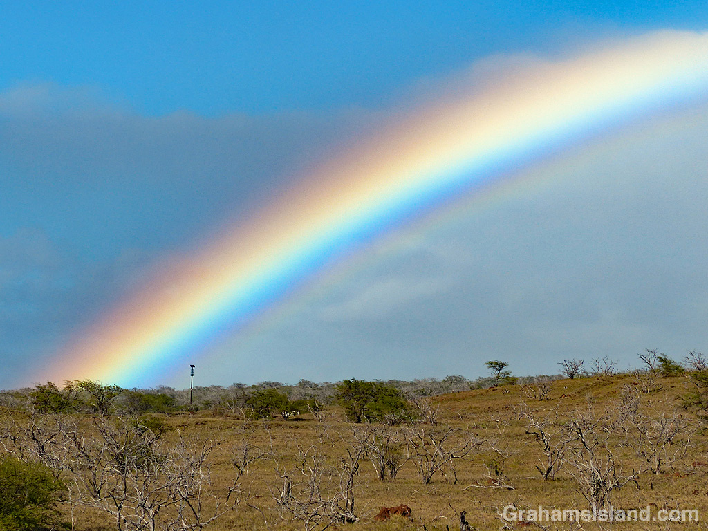
One of the perks of snorkeling here is that there are often rainbows to be seen, such as this one just north of Lapakahi.
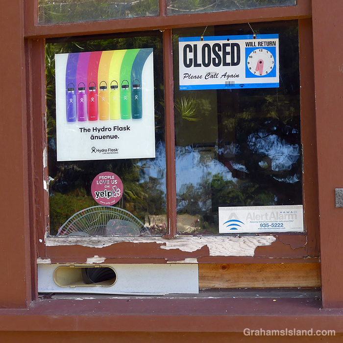
In Hawaiian, ānuenue means rainbow. This is Hydro Flask’s version!
Posted for Becky’s Squares: Seven. See more responses here.
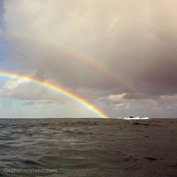
When Becky’s announced her theme for this month’s Squares as Seven (See more responses here), rainbows were one of the first things I thought of. So here’s two for the price of one. Sadly, that’s not a pot of gold between the ends of them. It’s just a rock.
