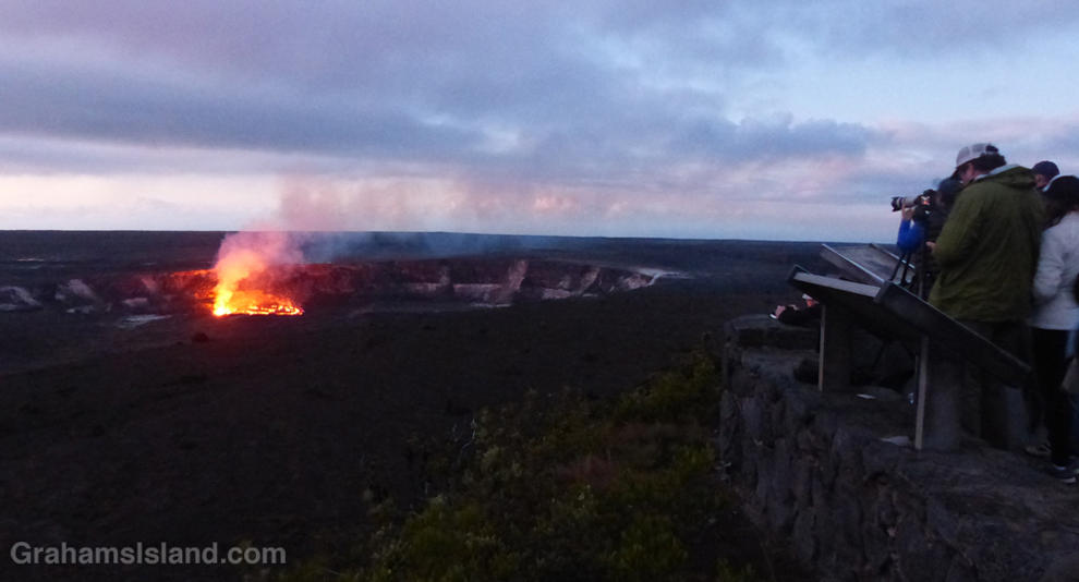
Daybreak reveals onlookers gathered at the Jaggar Museum viewing point in April 2016 (Original post here).
This week’s Sunday Stills challenge theme is ‘Iconic Places and Spaces.’ See more responses here.
I wasn’t sure what to post for this, but Kilauea is about as iconic as anything on the island, so I thought I’d post some photos from volcanic activity that I’ve seen since I moved here. Captions on the photos with a link to the original post.
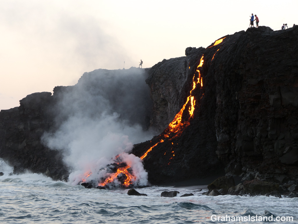
Lava from the Pu’u O’o vent reaches the ocean in July 2016 (Original Post here).
A hike to the July 2016 flow revealed surreal scenes like this one (Original post here).
This fire hose of lava was a short-lived feature of the 2016 flow (original post here).
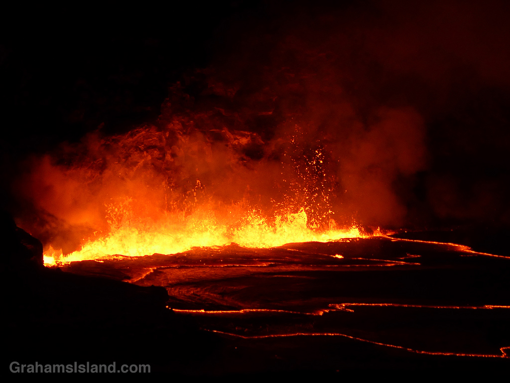
In April 2018, lava in Halema’uma’u Crater spilled onto the crater floor. (Original post here).
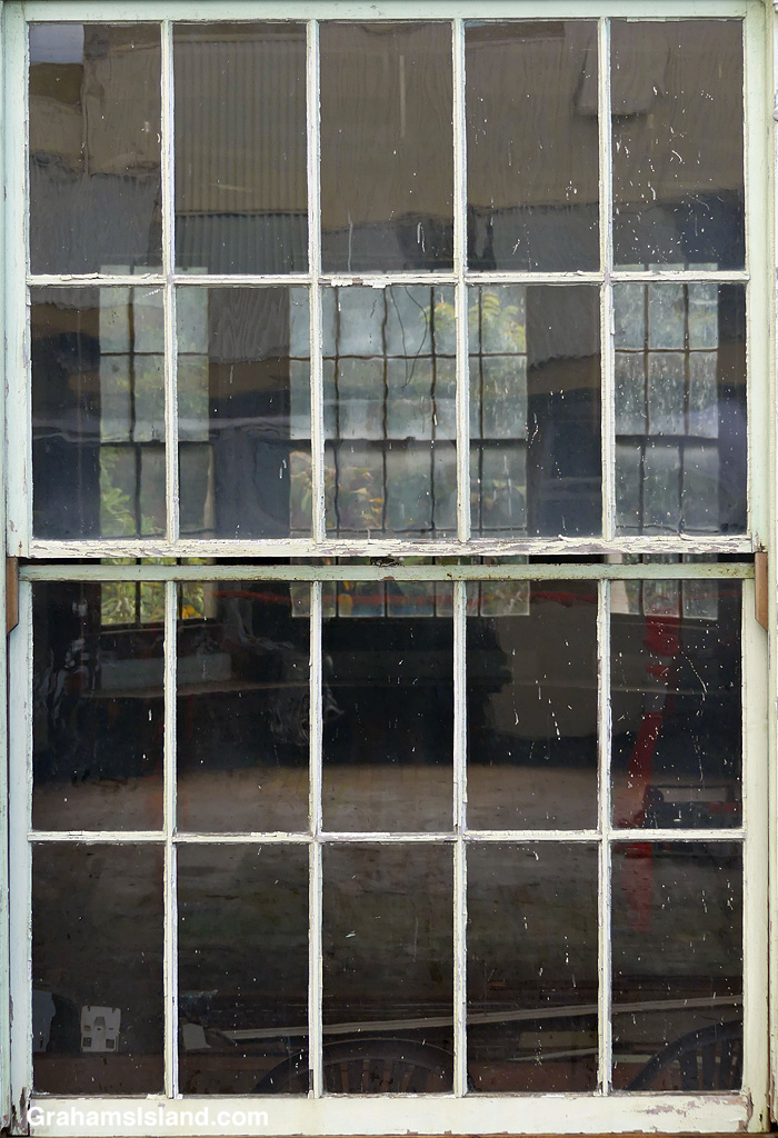
Looking out through a window at Pepeiao Cabin in Hawaii Volcanoes National Park.
This week’s Sunday Stills challenge theme is ‘Through a Window.’ See more responses here.
A variety of photos this week, with captions on the photos.
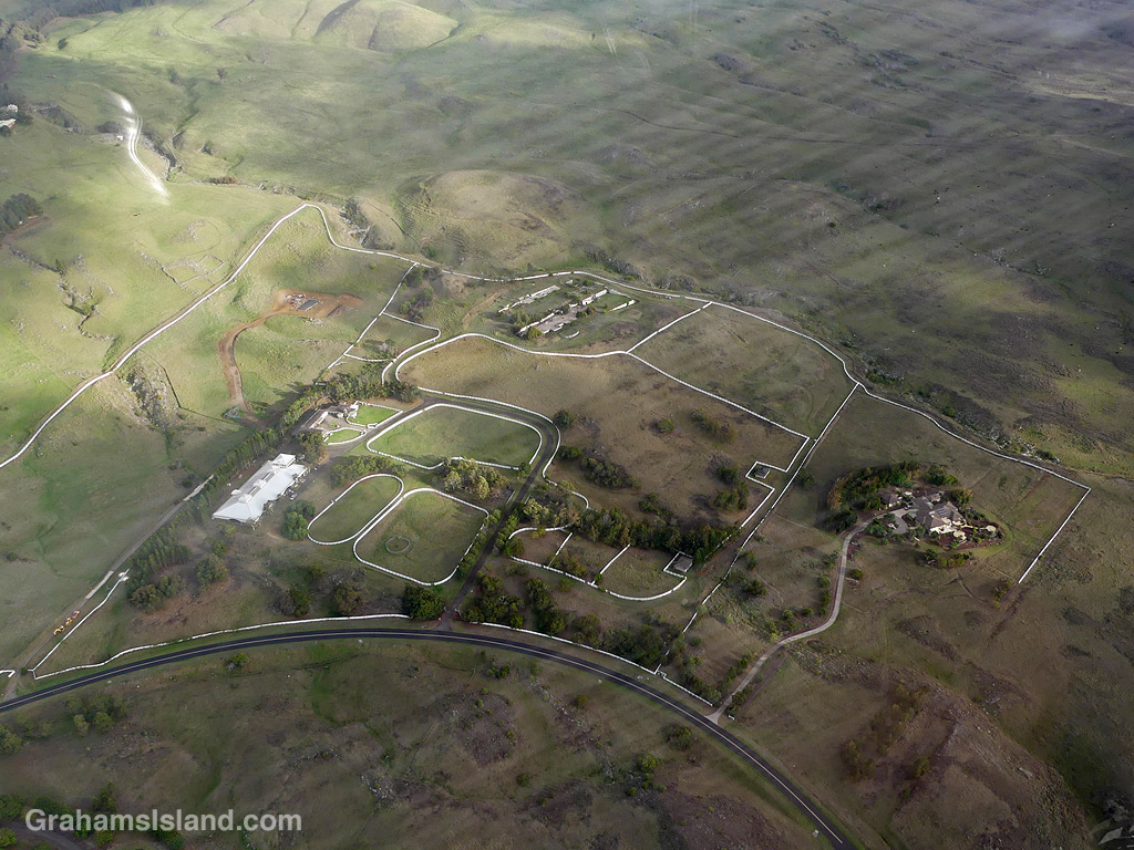
A pair of Common Waxbills seen through the bathroom window. It’s a good vantage point for watching and photographing birds, so long as I remember to clean it once in a while.Looking through a window into the old Bond Library in Kapaau, currently in the process of renovation.Looking out from my old truck on the drive down to Upolu Airport.A view of Kohala Ranch through a helicopter window. I like how the white fencing stands out.
A look through new windows at a construction project at Hapuna. Sadly, one of the new windows already had something go through it.
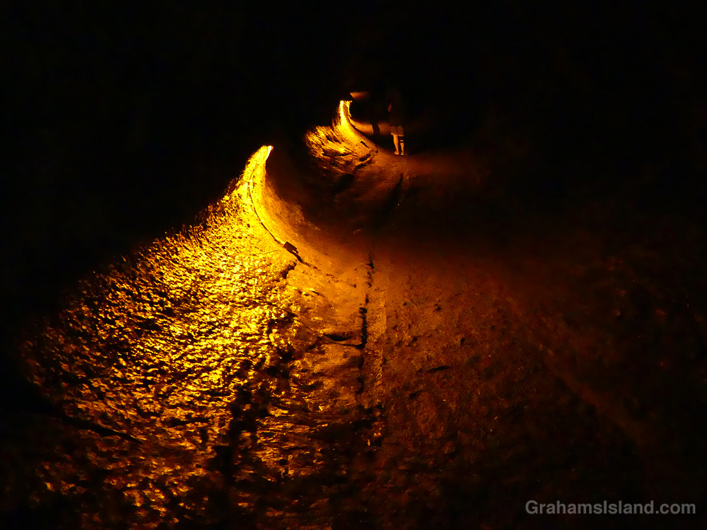
I visited Hawaii Volcanoes National Park recently, with friends from the mainland, and towards the end of our visit we stopped by Thurston Lava Tube. These days the tube is known as Nāhuku, which means “the protuberances” in Hawaiian. There aren’t any protuberances in the tube these days, but it’s still fun to walk the dimly lit tube, imagining magma rushing through it, until the eruption stopped and the tube drained.
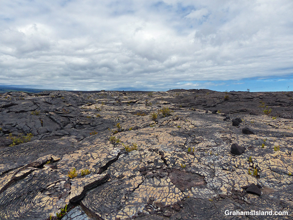
My lunch spot with a view of the Kamakai’a Hills and various kinds and colors of lava.
This week’s Sunday Stills challenge theme is ‘I’d Rather Be…’ See more responses here.
It had been a while since I went hiking, for various reasons, and it’s something I was missing, something I’d rather be doing. So last week, I headed down to Hawaii Volcanoes National Park to try the Ka’u Desert Trail. This backcountry trail has been on my list for a long time, but I had never done it before. For one thing, it’s about as far from my house as one can get on the island. For another, it’s directly downwind from Kilauea Volcano, so when the volcano is active and the trade winds are blowing, gasses blow across the length of the trail.
The latest eruption of Kilauea is currently either paused or over, so gas emissions are much reduced, and last week, the trade winds had given way to winds from the southwest. So off I went.
Signs explain the rich history and geology of the area.Tenacious Ohia trees grow in the lava.Ohia flowers are a magnet for bees……as are the native Ulei flowers.
The trailhead is several miles west of the main entrance to the park, with a strip of parking along the highway. The first mile of the hike is also known at the Footprints Trail. It’s a sort of paved path that threads through ohias to a small building that houses footprints left by early Hawaiians in volcanic mud and ash. Alas, I couldn’t identify any footprints in the display. Shortly after the footprints, the path breaks out of the vegetation into open lava fields. This isn’t a tropical Hawaii walk, this a bleak hellscape Hawaii walk. Or is it?
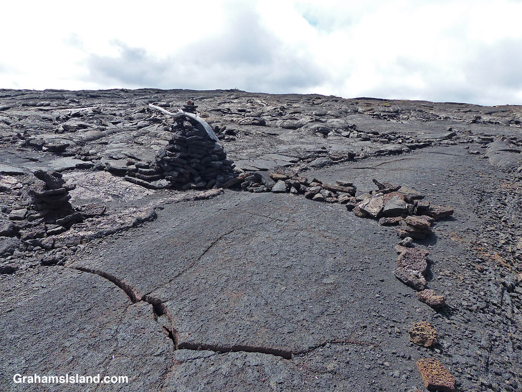
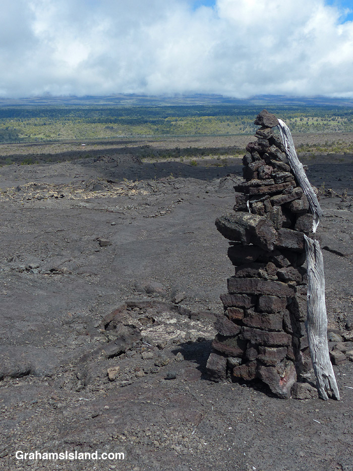
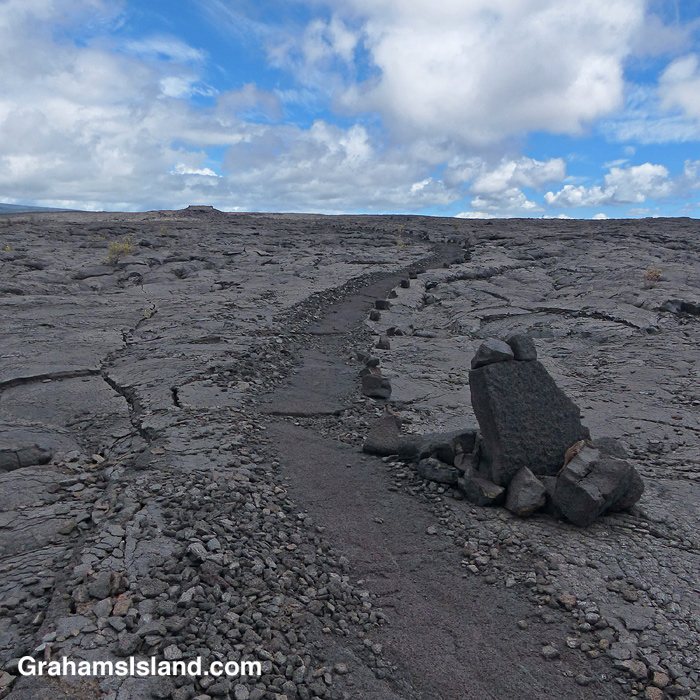
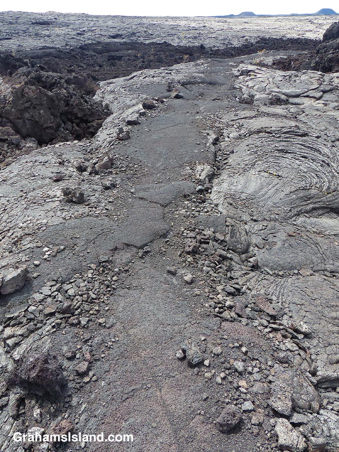
A view of the Kamakai’a Hills from the trail junction.The trail was rerouted here, from its previous path, for reasons unknown.Cairns mark the trail, some bigger than others.Walking on the trail removes the top, crumbly layer of pahoehoe lava.
The trail ascends gently to the only junction for miles around, at Mauna Iki. To the left is a trail back towards the heart of the park. The Ka’u Desert Trail heads to the right and into backcountry wilderness. Mauna Iki was the site of an eruption in 1919 and the trail traverses the lava fields from this eruption.
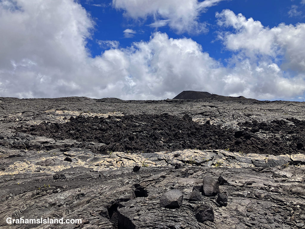
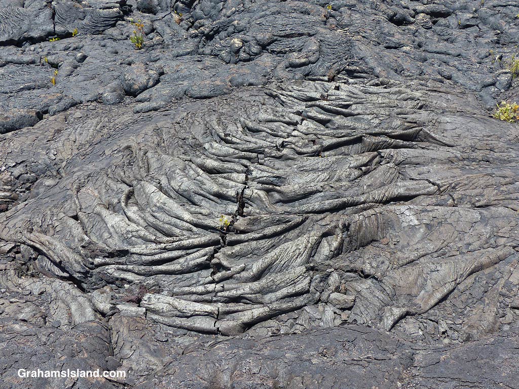
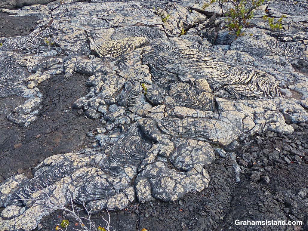
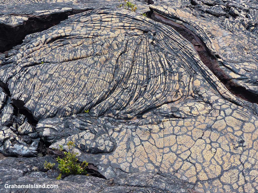
A’a and pahoehoe lava flows can be seen side by side.Gold colored ropey pahoehoe lava makes it look even more like ropes!The lava has many weird and wonderful folds and shapes.
Much of the trail is over pahoehoe lava, which is rounded and much easier to walk on than jagged a’a lava. The trail is marked by cairns and single rocks placed alongside it. It’s pretty easy to follow with just one or two parts where attention has to be paid to make sure one doesn’t stray.
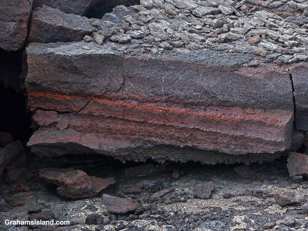
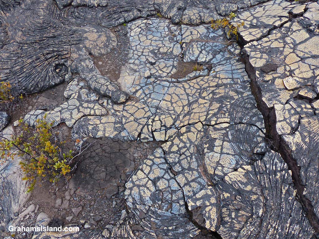
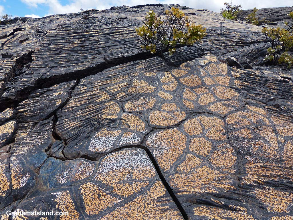
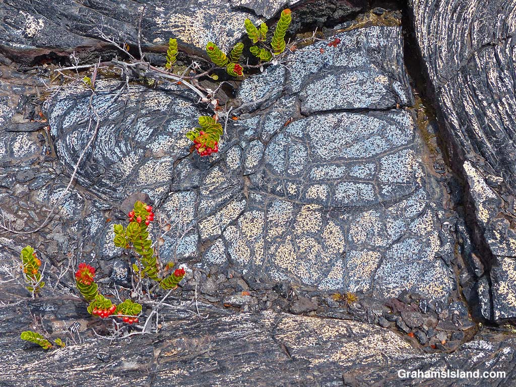
Bronze colored lava.Bands of red in the lava.A crack in the trail……revels shades of orange within.Blue and gold lava flow.Colorful and dramatic, but slowly nature returns.Colorful ropey pahoehoe lava next to smooth.Blue lava!The patterns and colors reminded me of Roman mosaic floors.Bold color and markings.Plants gain a toehold in the cracks and provide a splash of different colors.Don’t stray off the trail. There are holes and thin spots everywhere.Bright colors and bold shapes can be seen along a lot of the trail.
It wasn’t far along this part of the trail that I first encountered blue lava. That’s right, blue lava. Who knew? But not just blue. There’s bronze, pink, red, orange, gold, and who knows what. I’ve seen colorful lava on the Puna Coast Trail, but this was more varied and quite wonderful. In places the trail crossed this colorful lava and I felt bad for walking on it, though as I hiked I could see many more patches of color out in the lava fields. It’s not wise to leave the trail since there are many lava tubes, some with very thin ceilings.
This is an out and back trail and I turned around once I reached the Kamakai’a Hills, after about 5 miles. It’s another 2 or 3 miles to the next junction where there is a small cabin.
Also posted for Jo’s Monday Walk. See more responses here.
The trail crosses one of the fields of colorful lava.
Recently, for this month’s Becky’s Squares theme of “Walking” (See more responses here), I’ve been posting some local walks. Today, I thought I’d revisit Hawaii Volcanoes National Park and one of my current favorite trails there.
The top photo is taken from the Byron Ledge trail which crosses the edge of the Kilauea Caldera to join the Halema’uma’u trail. From this junction, the original Halema’uma’u trail traverses the caldera to the edge of Halema’uma’u Crater. That trail has been closed since 2008 because the volcano has been, and currently still is, erupting there. Kilauea Caldera is large and the eruption is two miles from the trail in the top photo, but I always get a bit of a tingle from walking across the caldera floor so close to volcanic activity.
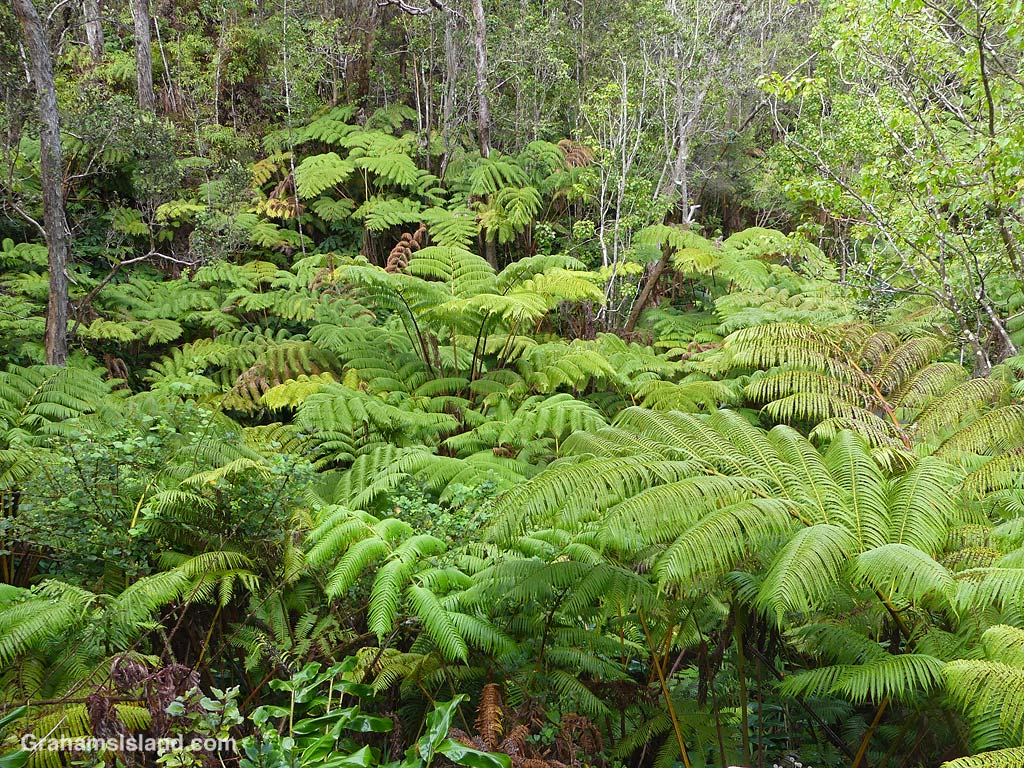
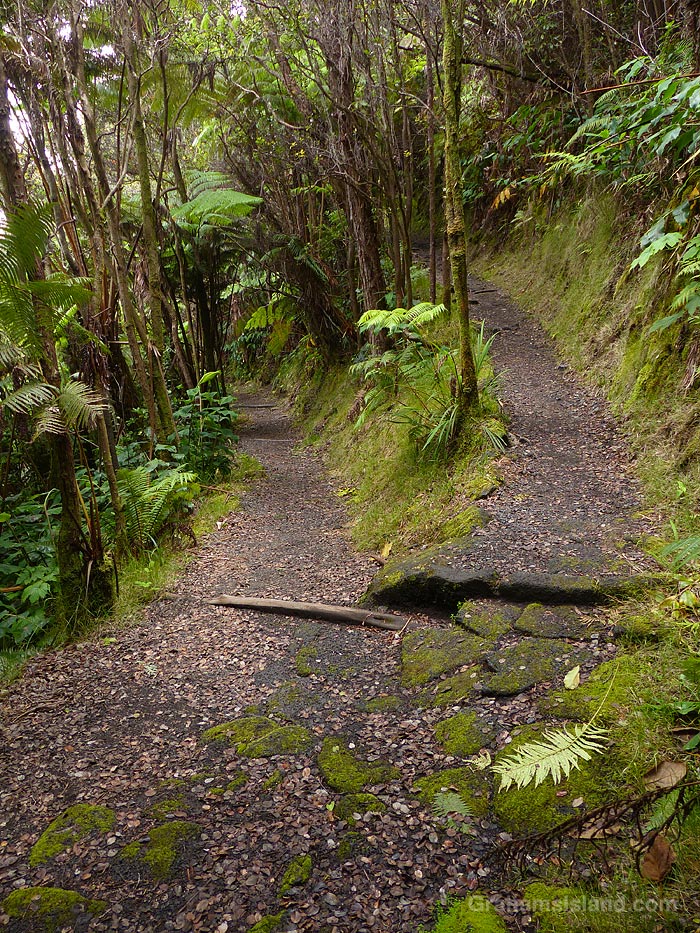
That’s not the only reason I like this trail though. It arrives at the caldera floor by winding down from the rim though some lovely tropical foliage and a moss-covered cutting through rocks that I always stop and photograph even though it doesn’t change from one visit to the next.
For more information about Hawaii Volcanoes National Park, go to nps.gov/havo/.
The Kilauea Iki Trail in Hawaii Volcanoes National Park is one of the most popular in the park, but I’ve never found it crowded when I’ve been there. It features two very different environments, the walk around the heavily wooded crater rim and the crossing of the barren lava on the crater floor, about 400 feet below.
Since the trail is a loop, one has to descend the steep crater wall at one end and climb up the equally steep crater wall at the other. At both ends, the trail is heavily switchbacked to make this possible. For the hiker, the positives of this are that the trail is less steep than a straight shot would be, and the switchbacks are good spots to take a break and get a variety of views.
For more information about Hawaii Volcanoes National Park, go to nps.gov/havo/. Posted for Becky’s Squares theme of “Walking” (See more responses here).