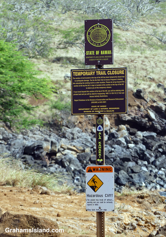
This sign has been in place, near the Old Coastguard Station in North Kohala, since I moved here. That was 12 years ago. But the sign was put in place six years earlier than that, after an earthquake caused the cliff, traversed by the trail, to slide into the sea.
The trail is the Ala Kahakai trail, a modern rendition of the network of trails used by the early Hawaiians. 175 miles long, it stretches from the northern tip of the island, down the west coast, and along the south coast through Hawaiʻi Volcanoes National Park. Segments of the trail are open to the public; other parts cross private property and are not yet accessible.
This ‘temporarily closed’ segment crosses the cliff frontage of a gated community. Rerouting the trail will require the cooperation of community residents impacted by moving the trail. This hasn’t happened yet.
I reckon the most likely change in this situation, that I might see in my lifetime, is that the sign will fall down. Replacing it could take several years!
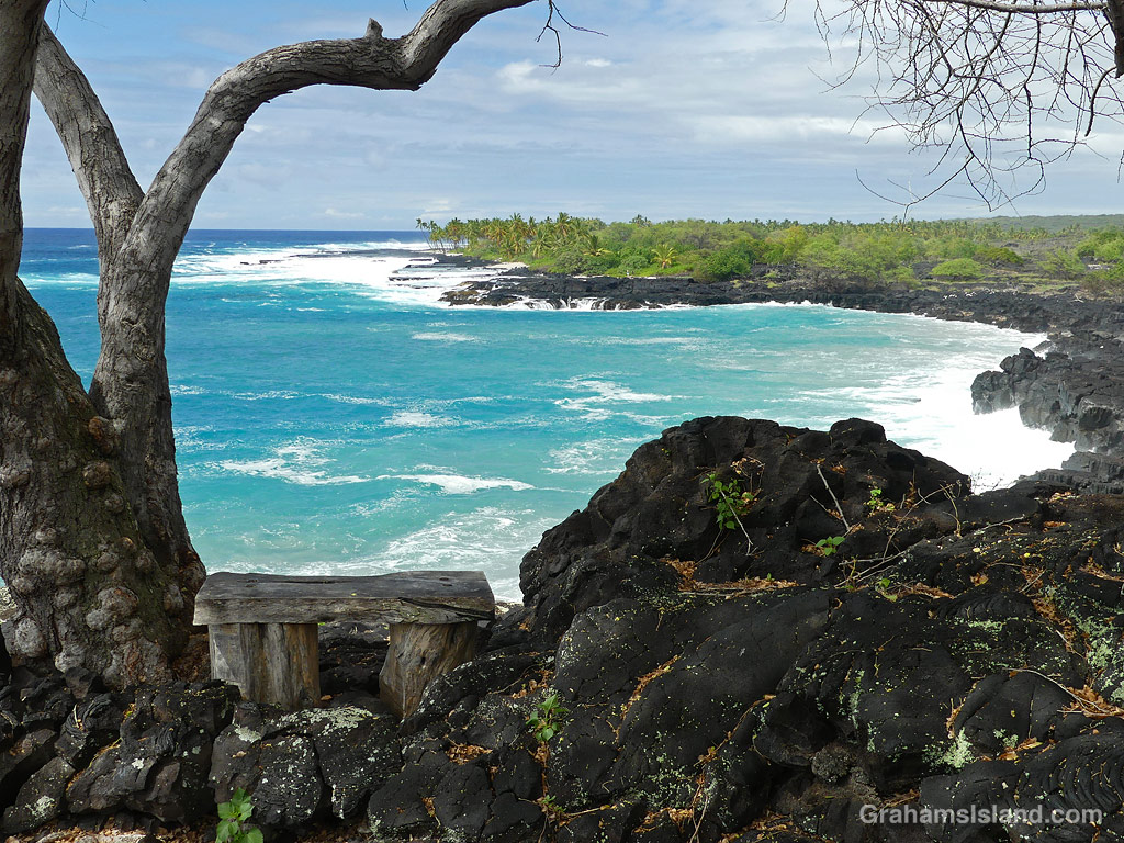
This is the view from the bench at the top of the Alakaha ramp on the 1871 Trail, which heads south from Pu’uhonua o Hōnaunau National Historical Park. There was big surf on this day and the trail was getting regular clouds of spray from the breaking waves.
The bench though, sits above all that and also offers some shade. What’s not to like!
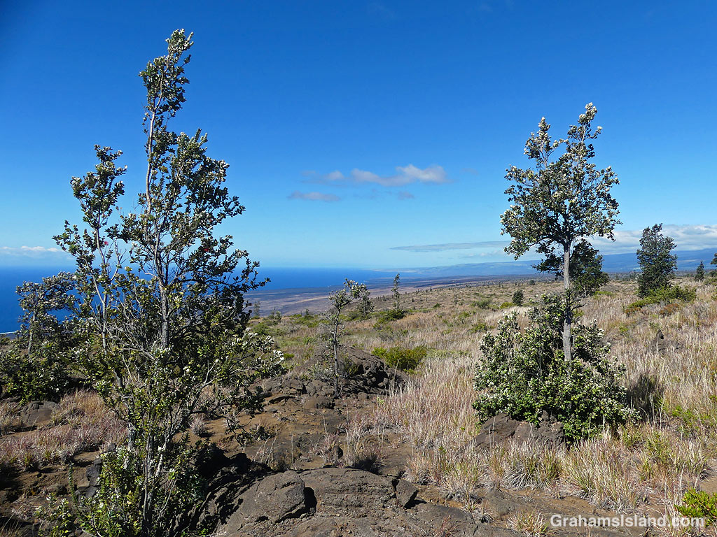
Pu’us are volcanic cinders cones from past eruptions. These are near the top of Mauna Kea.
This week’s Sunday Stills challenge theme is ‘Landscapes.’ See more responses here.
There’s a bit of everything on the Big Island, so these are just few of the landscapes to be seen here. Captions on the photos.
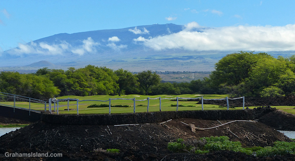
Lava is a major landscape feature here, but it can be colorful.The Hilina Pali Trail in Hawaii Volcanoes National Park.The landscape here changes regularly. A view of Pohoiki Beach. Lava from the 2018 eruption on the right, new black sand beach on the left, and a smothered boat ramp with little swimming pool near the center.A view into one of the valleys of Kohala Mountain.The Pu’u O’o Trail passes through old growth forests isolated by past eruptions.On the coast, a path wanders through palm trees.Pastureland on Kohala Mountain.Cattle ranches border Kohala Mountain Road.A view of Mauna Kea from the coast at the Fairmont Orchid Resort.
This week’s Sunday Stills challenge theme is ‘Great Outdoors Month.’ See more responses here.
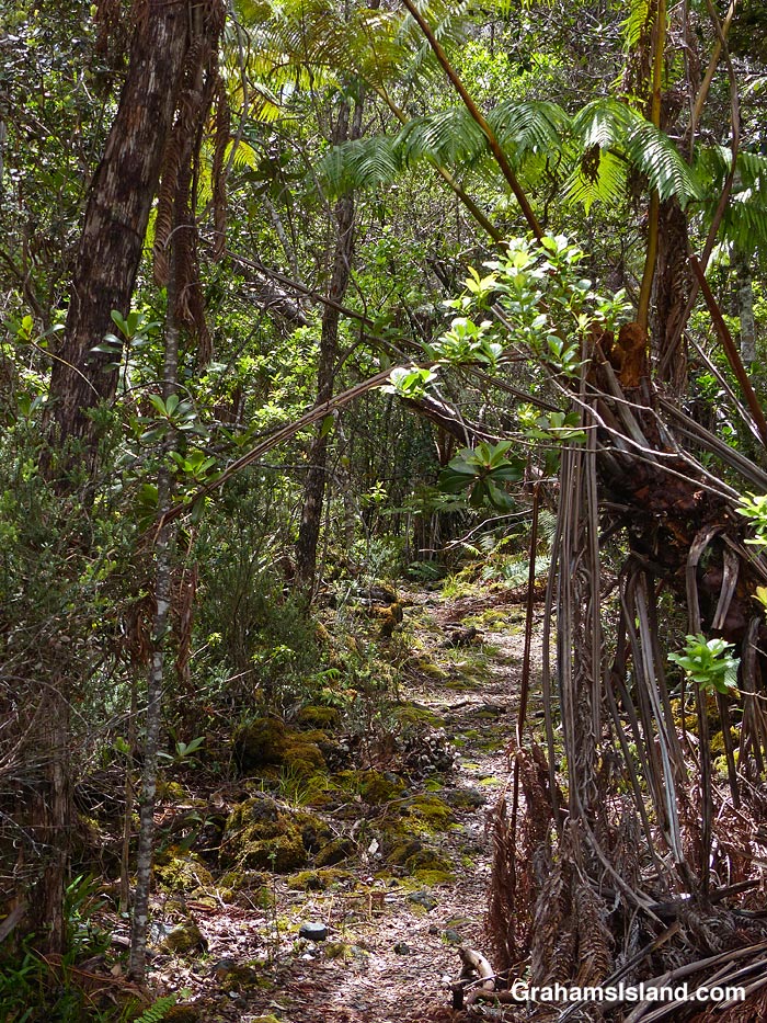
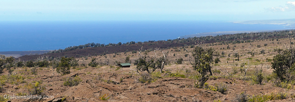
I did this hike, at Hawaiʻi Volcanoes National Park, quite a while ago, but for one reason or another the post never came together and then went missing in my files! This hike started from the lookout at the end of Hilina Pali Road. A few years back, I did a different hike from this starting point that almost did me in (here). This time, having learned from that experience, I stayed on top of the pali (Hawaiian for cliff). My destination was Pepeiao Cabin (pronounced ‘pay-pay-ow’), about five miles away, though the trail is the Ka’u Desert Trail, part of which I’ve hiked from the other end (here).
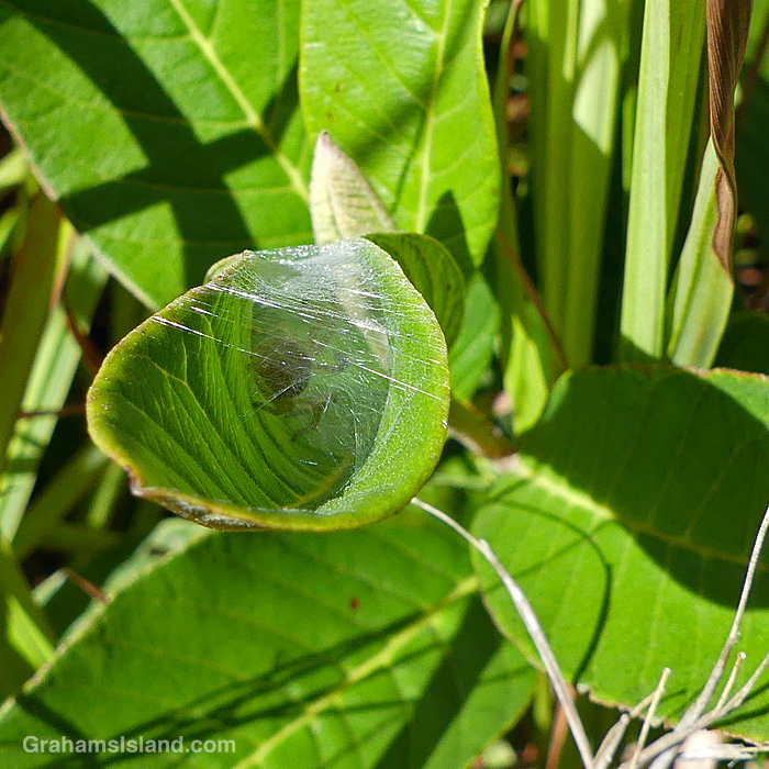
Ohia trees on the trail.A spider sheltering in a leaf.The Ka’u Desert Trail.The Ka’u Desert Trail marked by cairns.View from The Ka’u Desert Trail.
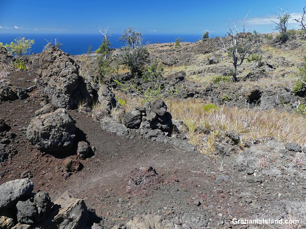
The day was sunny, but not too hot, and with a nice breeze for the most part. The elevation drop (and gain on the return) is only around 500 feet so it wasn’t too strenuous, and the trail was fairly easy to follow. It passes through grassy areas and across lava flows, and is well-marked with cairns. Ohia trees dot the landscape, along with a variety of shrubs and other flowers. I didn’t see too many birds, but there was a decent show of butterflies and bugs. The views were splendid, down to the coast or upslope towards Mauna Loa.
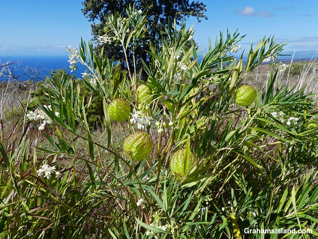
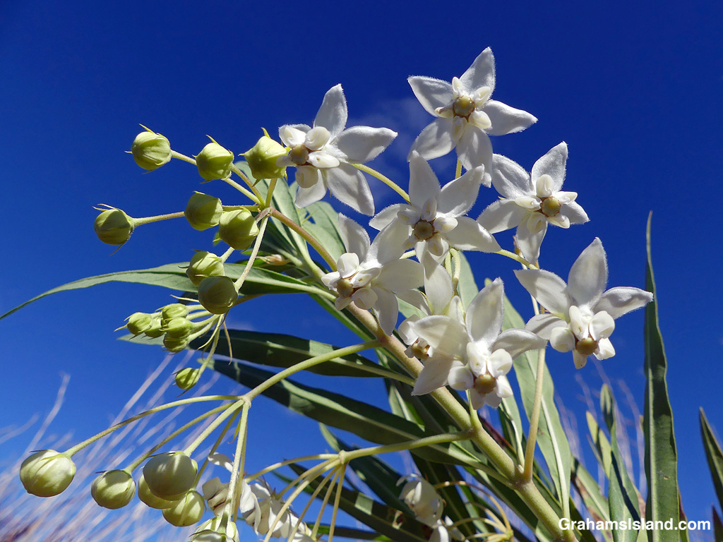
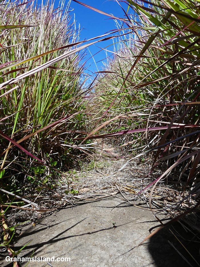
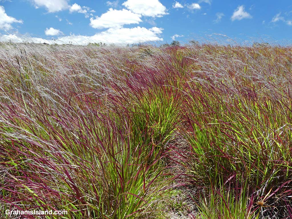
A Balloon plant on the Ka’u Desert Trail.Balloon plant flowers on the Ka’u Desert Trail.Common Guava on the Ka’u Desert Trail.Grasses alongside the Ka’u Desert Trail.Grasses alongside the Ka’u Desert Trail.
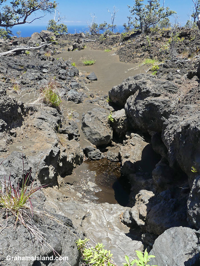
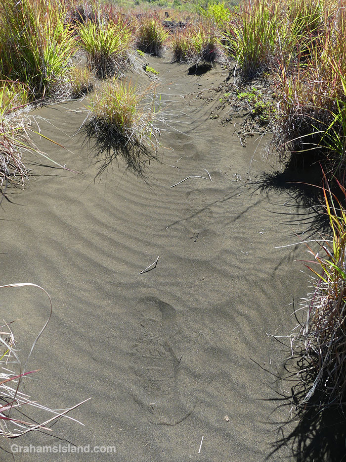
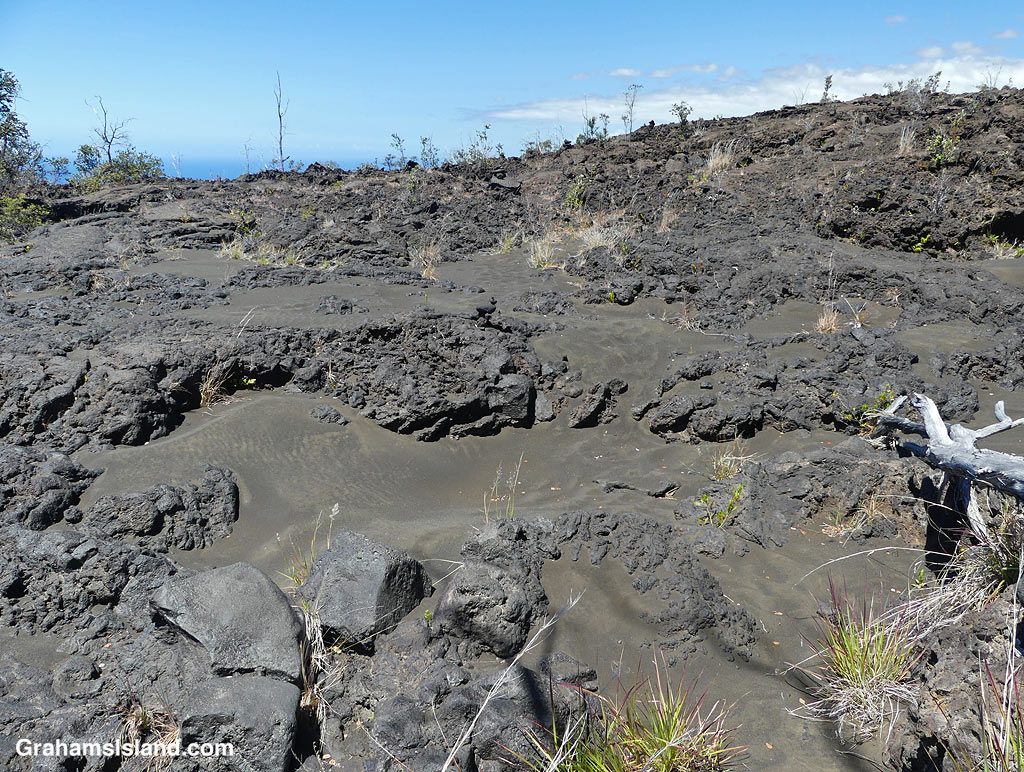
All the backcountry trails I’ve hiked in the park have featured something particularly unusual and interesting. On this hike, I was amazed by the substantial areas of sand on the trail or alongside it. This certainly didn’t get there from the beach, since the elevation is around 2,000 feet. My assumption is that it’s just volcanic rock broken down by rainfall, but just not washed down to the coast. Some of the sand was grassed over and it was like walking through dunes on the coast!
Sand on the Ka’u Desert Trail.Footprints in the sand on the Ka’u Desert Trail.Tracks in the sand on the Ka’u Desert Trail.Sand on the Ka’u Desert Trail.Sand in the lava on the Ka’u Desert Trail.
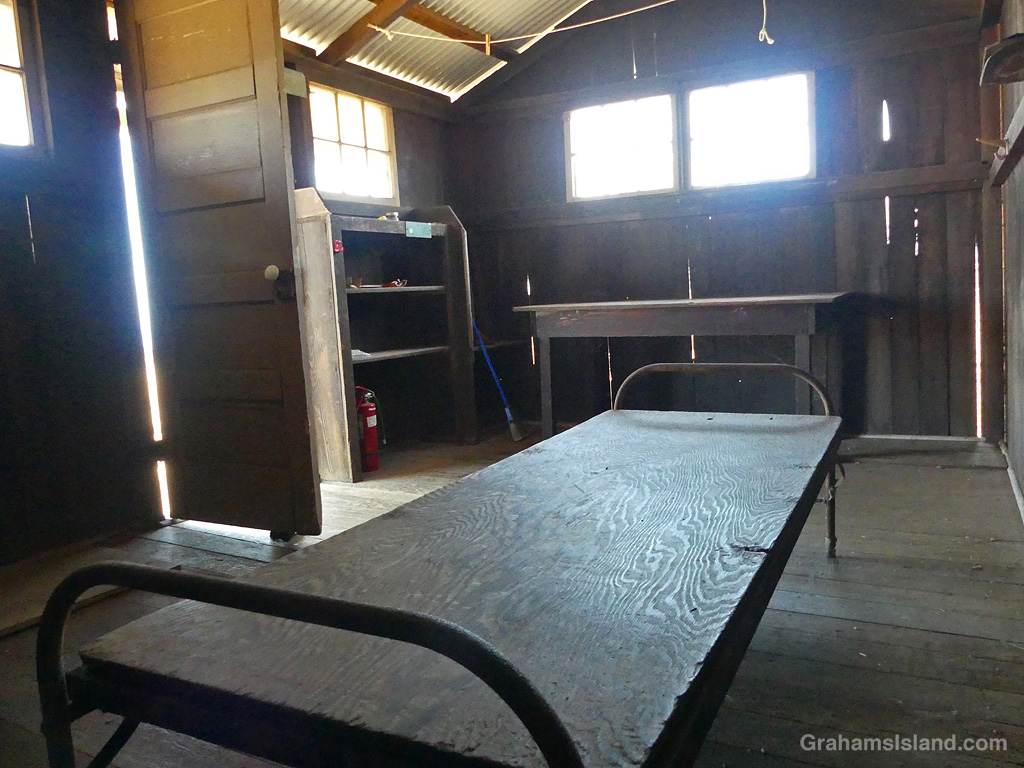
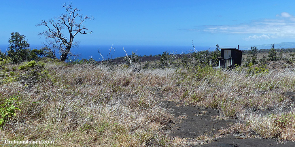
Eventually, I reached Pepeiao Cabin. There are several of these backcountry cabins in the park, and they require a permit to stay at them. This one was typically rustic, with a catchment water tank that may or may not contain water, depending on the weather and use. There’s also an outhouse with a splendid view. Inside, the cabin was basic, but the kind of place I’d be happy to stay in if it was raining outside.
Pepeiao Cabin on the Ka’u Desert Trail.Pepeiao Cabin on the Ka’u Desert Trail.The interior of Pepeiao Cabin on the Ka’u Desert Trail.The outhouse by Pepeiao Cabin on the Ka’u Desert Trail.
After I got back, I saw that the park website says “Pepeiao is in the southwestern reaches of Hawaiʻi Volcanoes National Park backcountry. The cabin is no longer safe for use and visitors should plan on tent camping.” I was a bit surprised because I’ve certainly stayed in plenty of less salubrious accommodations in my day!
Also posted for Jo’s Monday Walk. See more responses here.
The idea of The Numbers Game is to enter a number into the search bar of your computer and then post a selection of the photos that turn up. This week’s number is 133. Captions are on the photos.
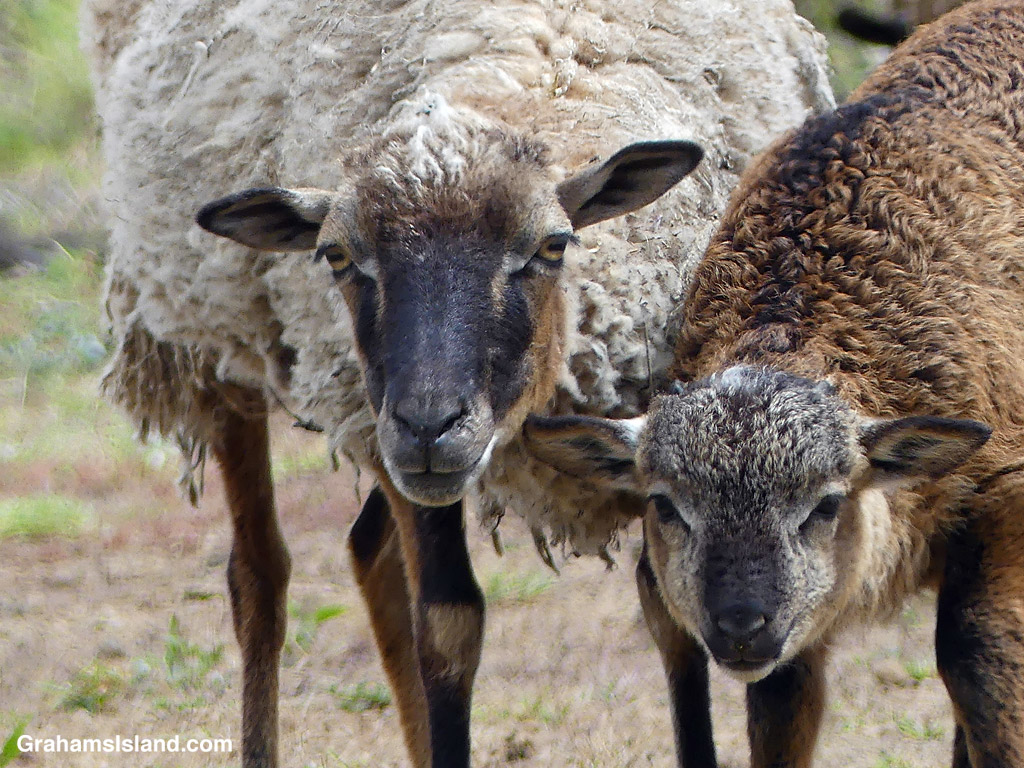
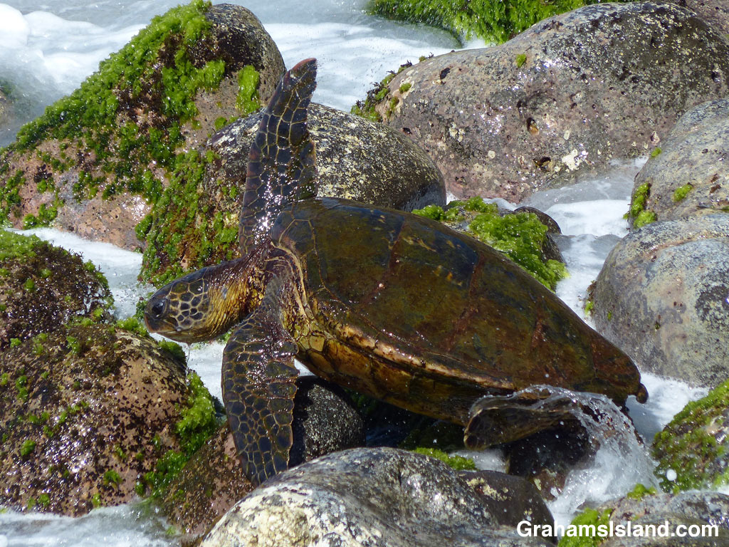
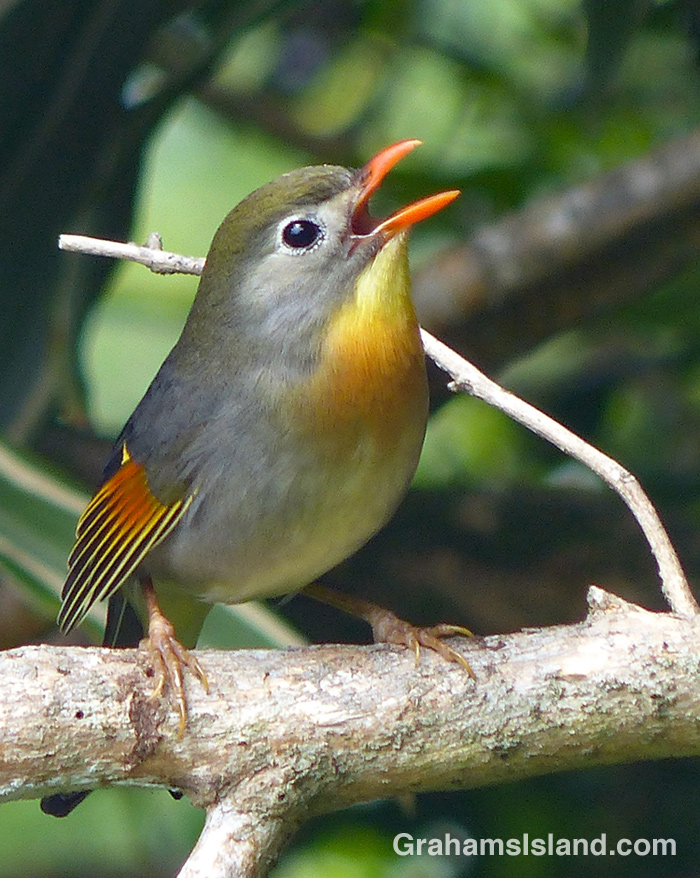
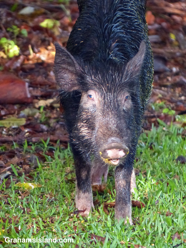
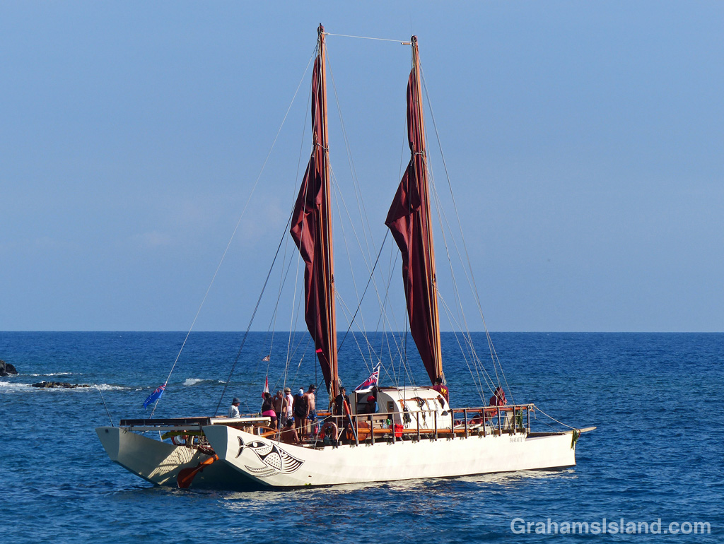
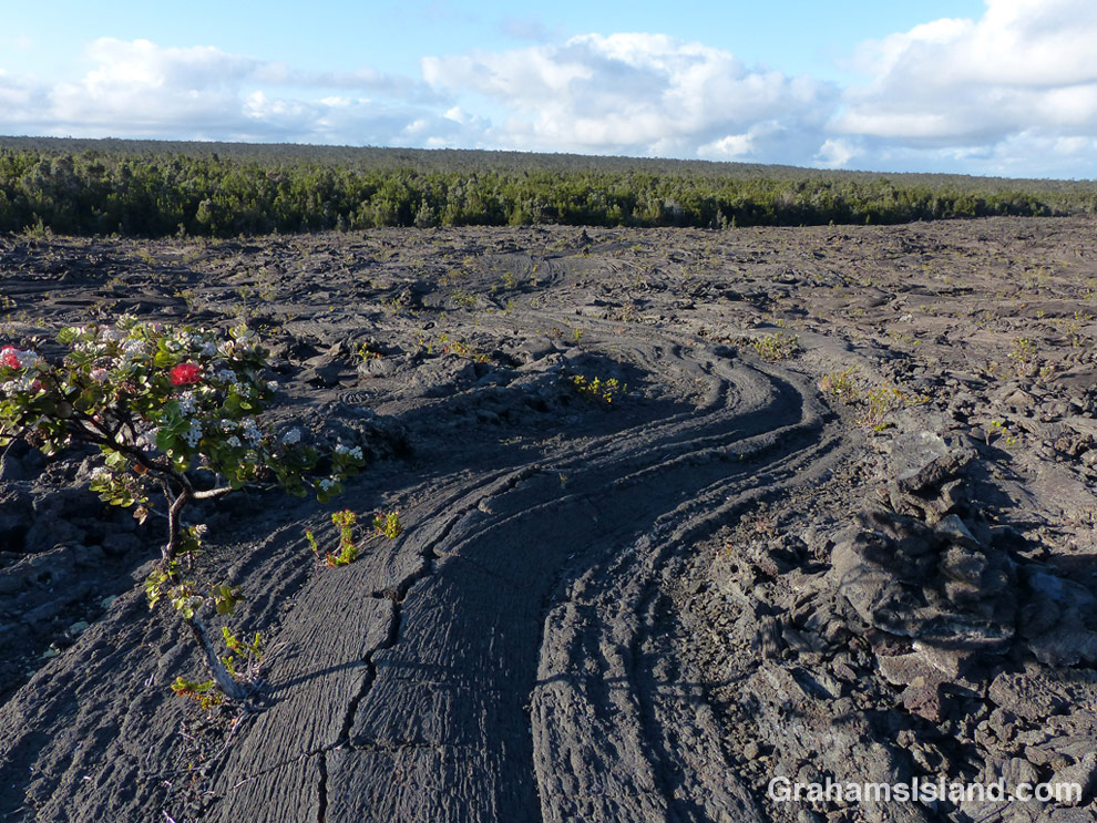
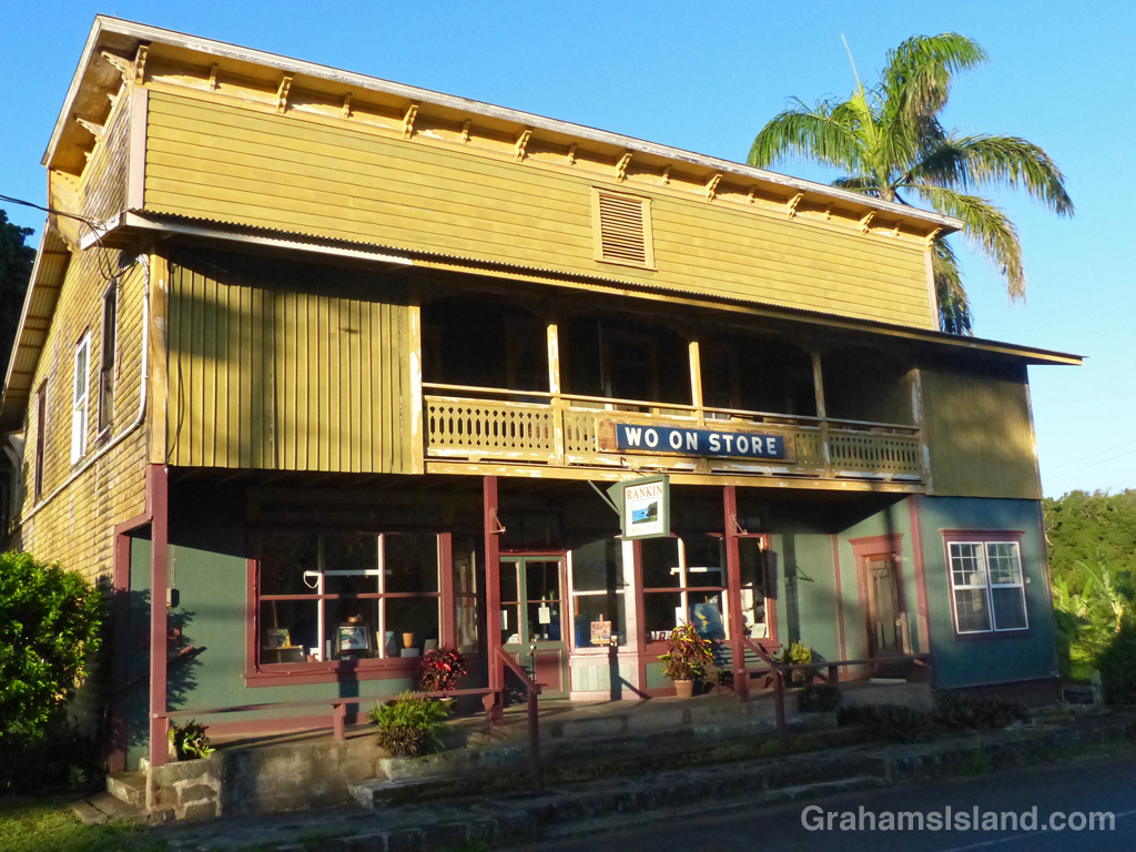
A Red-billed-Leiothrix calls out.A wild pig snacking on mangoes.A cow in conversation with a pair of cattle egrets.The Tahitian voyaging canoe Fa’afaite off Mahukona.An Ohia tree toughing it out in the lava on the Napau Trail.The old Wo On Store at Halawa.A Bougainvillea in a neighbor’s garden.