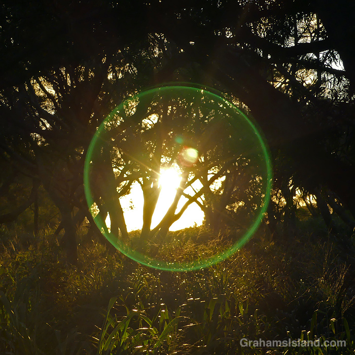
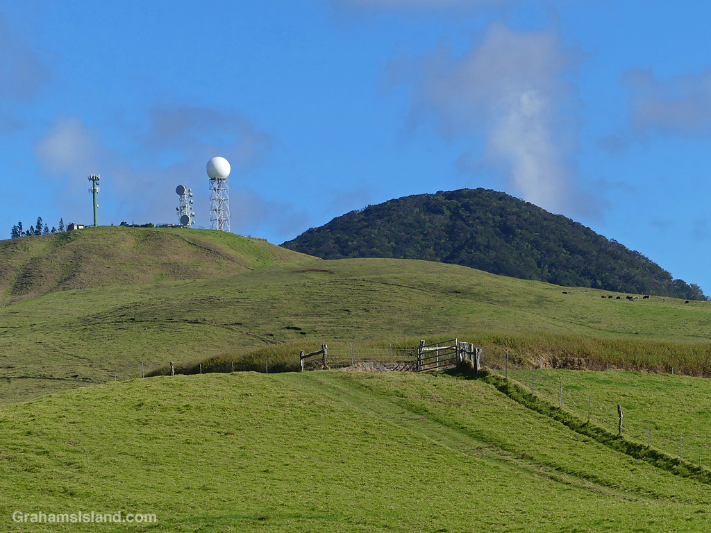
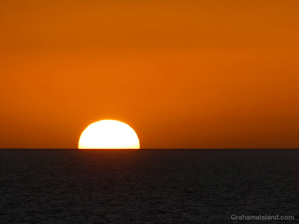
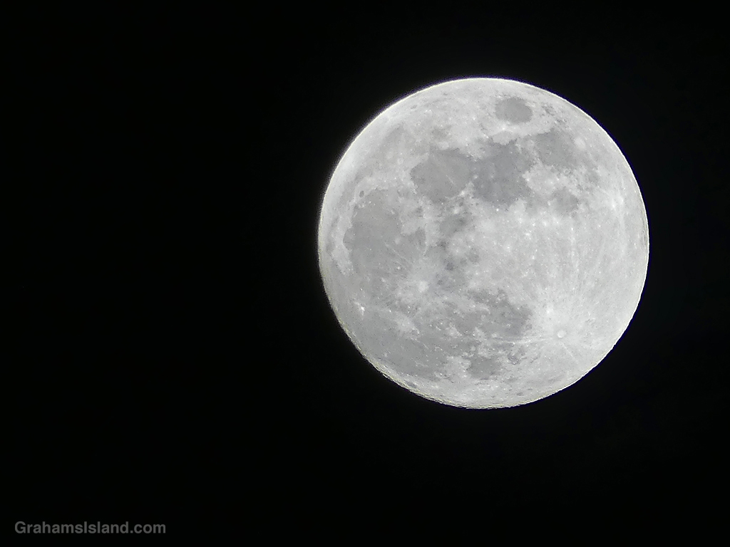
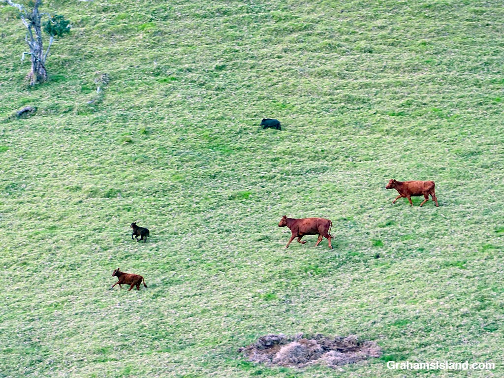
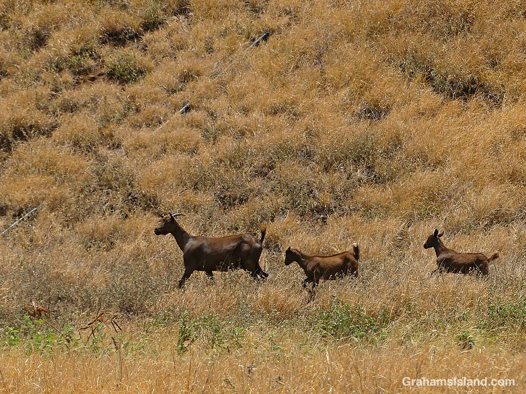
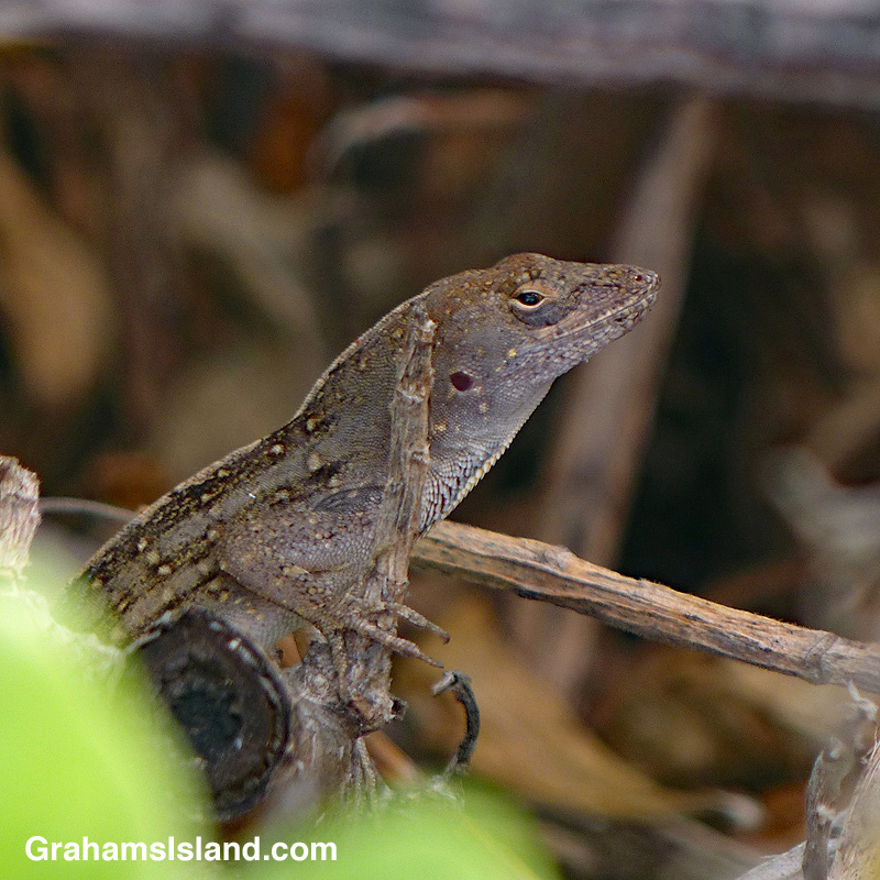
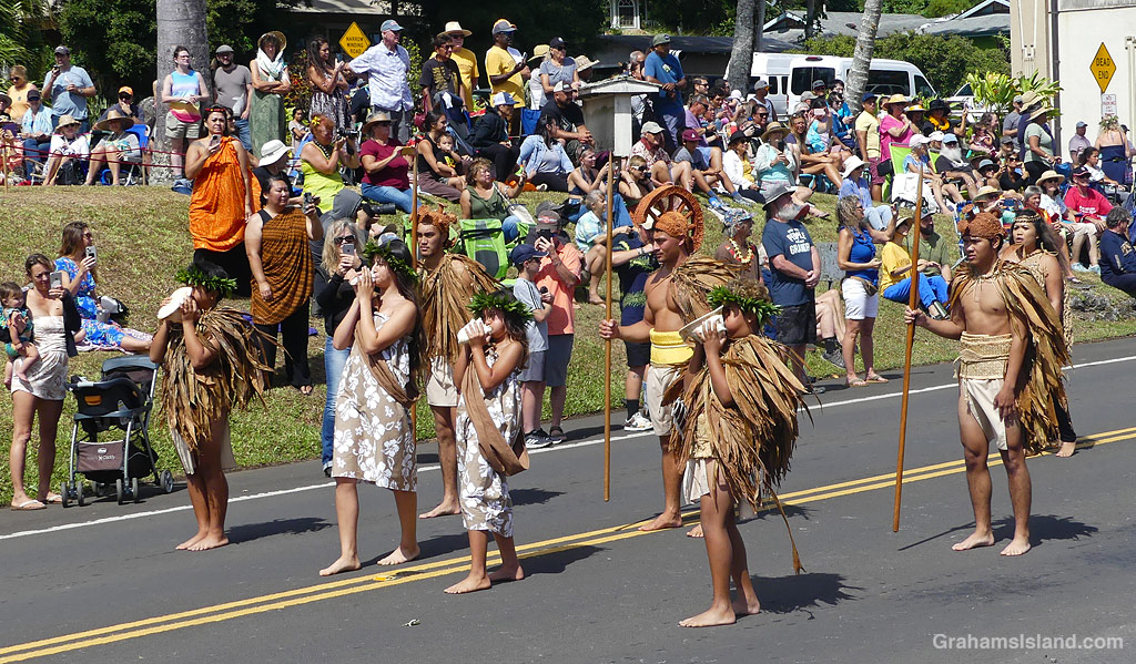
Tag Archives: Kohala

View towards Maui and the coast

A view from the slopes of Kohala Mountain towards Maui

I was up at a ranch on Kohala Mountain Road and the place boasted an impressive 180° view, from Maui to Hualalai. This is the northern part of that view.

The downside of the location is that the wind can blow like crazy. During the big windstorm of a few months ago, they registered a wind speed of 83 mph!

Well rounded

The rounded hills of Kohala Mountain and a weather radar known as the golfball
The rounded NEXRAD Weather Radar sits on the rounded hills of Kohala Mountain.

This week’s Sunday Stills challenge theme is ‘Rounded.’ See more responses here. Another mixed bag this week with captions on or below the photos

A look down Queen Ka’ahumanu Highway

Queen Kaahumanu Highway on the Big Island, Hawaii, as seen from the air

The Queen Ka’ahumanu Highway was built in the 1970s to connect Kailua Kona to Kawaihae and Waimea along a coastal route. This also opened up the south Kohala coast for resort development that had been led by the Mauna Kea Resort, which opened in the late 1960s. Mauna Kea Resort is in the foreground of this image.

Brown in Hawaii

A horse on the coast of Hawaii
A brown horse on the North Kohala coast.

This month’s Sunday Stills Color Challenge is ‘Brown.’ See more responses here.

I’ve gone for a selection of animals, mostly. Captions on the photos as usual.

A brown anole in Hawaii
A brown anole, looking miffed.

A maritime mystery

A Saildrone research vehicle collecting data off the coast of Hawaii

Back in May, I saw this orange boat a fair distance from shore, off the South Kohala coast. I knew it wouldn’t be a good photo, but I thought I’d be able to identify what it was from it. I was mistaken. I did some searching but turned up nothing. I put it to the side and kind of forgot about it.

Then, late last month, I was on the BBC website and there was a photo of a craft so similar, it had to be connected. The article (here) was about how seafaring drones are being used to collect data to help scientists figure out why some hurricanes become so dangerous, so fast. These drones operate without crew and are equipped to gather data from both the ocean and the atmosphere.

The company making the drones is called Saildrone, and I emailed them to ask about what the vessel I’d seen was up to. I received an unbelievably prompt response saying that the University of Hawai’i at Mānoa was using three drones around the state to collect information about climate change and ocean acidification and its effect on the health of the waters around Hawaii (here). It was also pointed out that since the drones carry no cargo or crew they are more properly called vehicles rather than vessels!

A wobbly line

A line of traffic waits on a road in Hawaii

I took this photo while waiting in a line of traffic on the mountain road. As usual, the cars aren’t in line, but they do match the temporary striping in the middle of the road. I use the word ‘temporary’ with hesitation. Often, these temporary road markings are still in place months, or even years later.