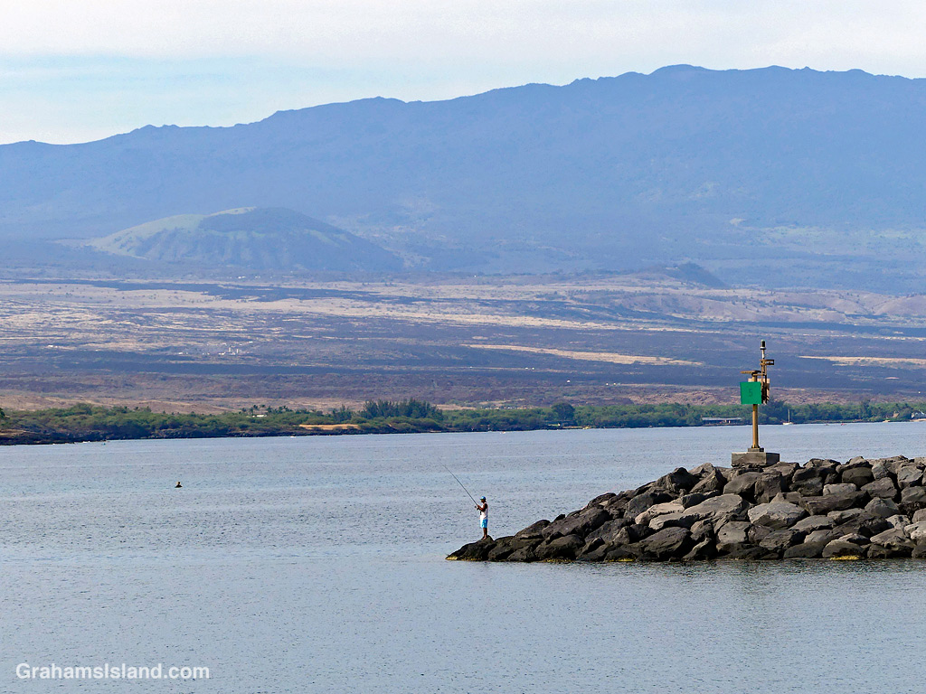
There are signs asserting that fishing is prohibited in Kawaihae Harbor. This fisherman could argue he’s not in the harbor, but on the edge of it. However, since walking along the harbor breakwater is also prohibited, he’d still likely be in trouble. A lot of potential drama for what was a very tranquil scene, with Pu’u Wa’awa’a and Hualalai in the background!
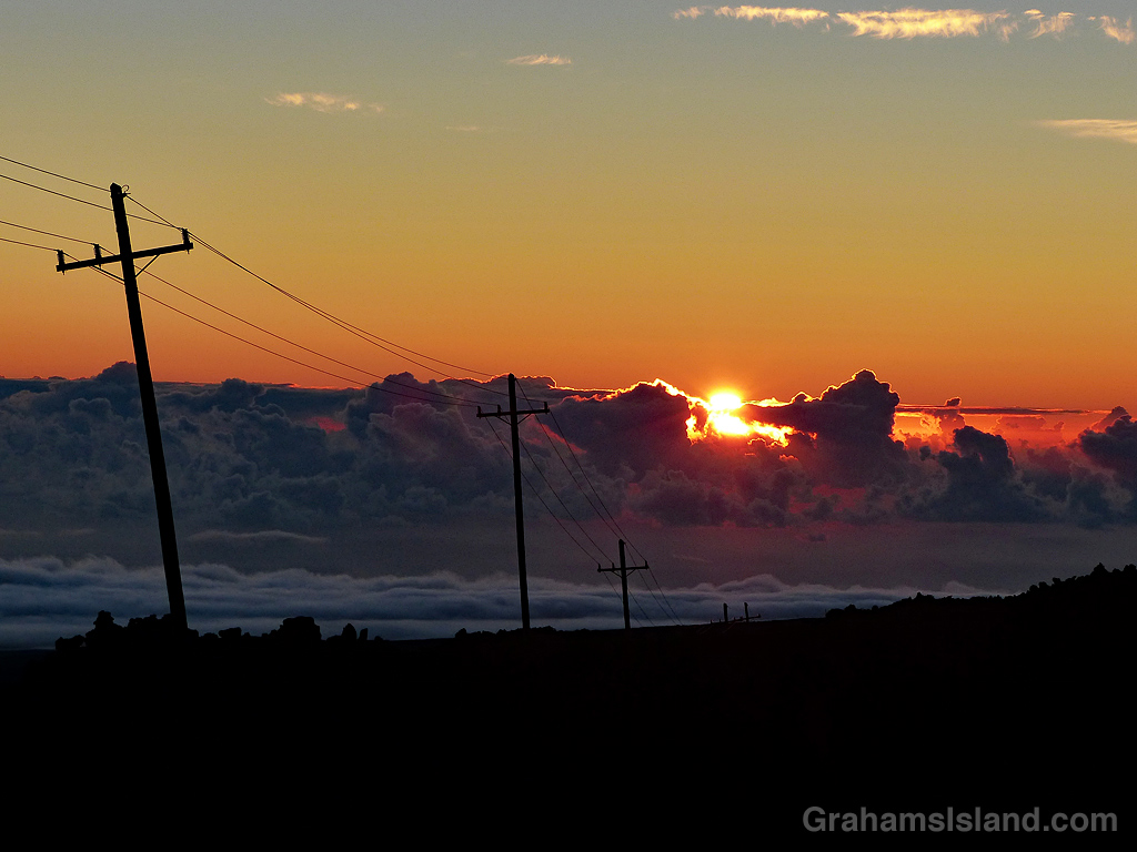
Sunrise from the road to Mauna Loa Observatory, now no longer accessible since the 2022 eruption.
The idea of The Numbers Game is to enter a number into the search bar of your computer and then post a selection of the photos that turn up. This week’s number is 147. Captions are on the photos. You can see more responses here.
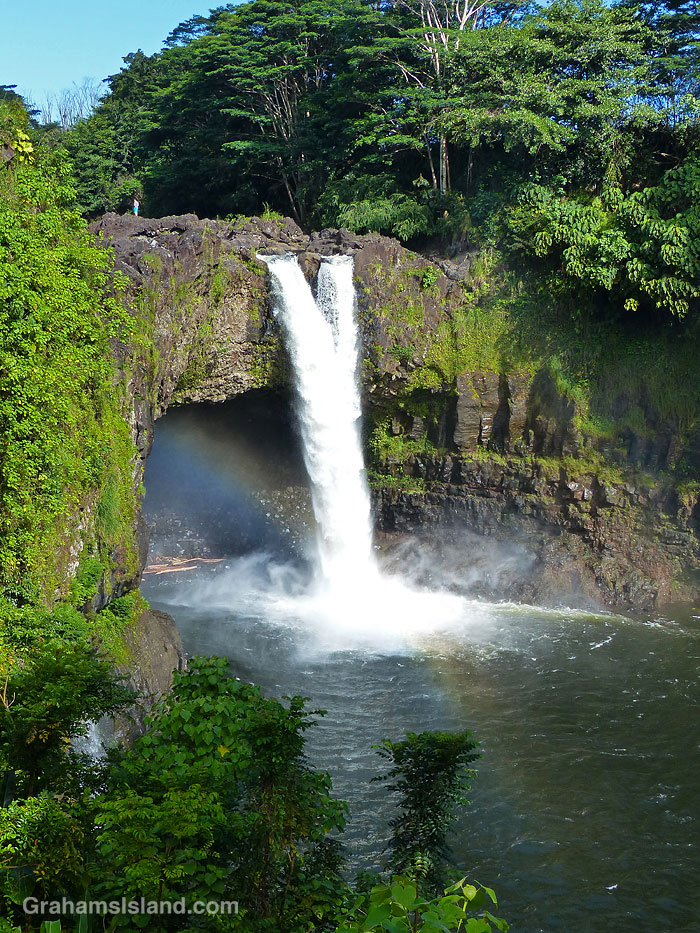
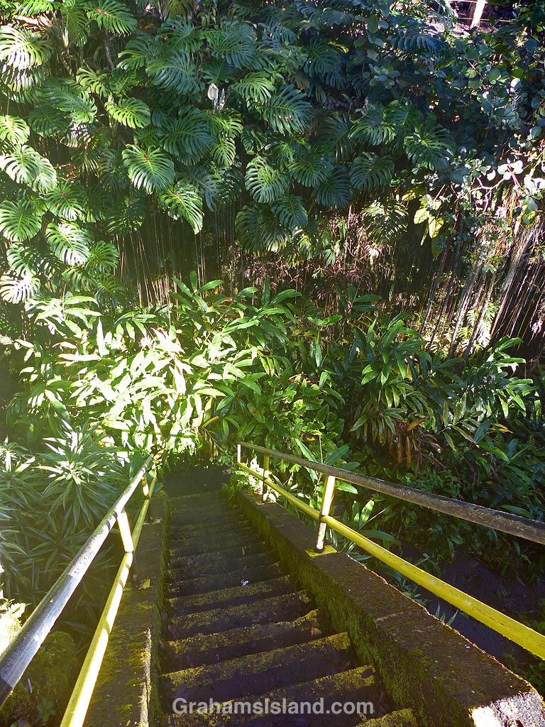
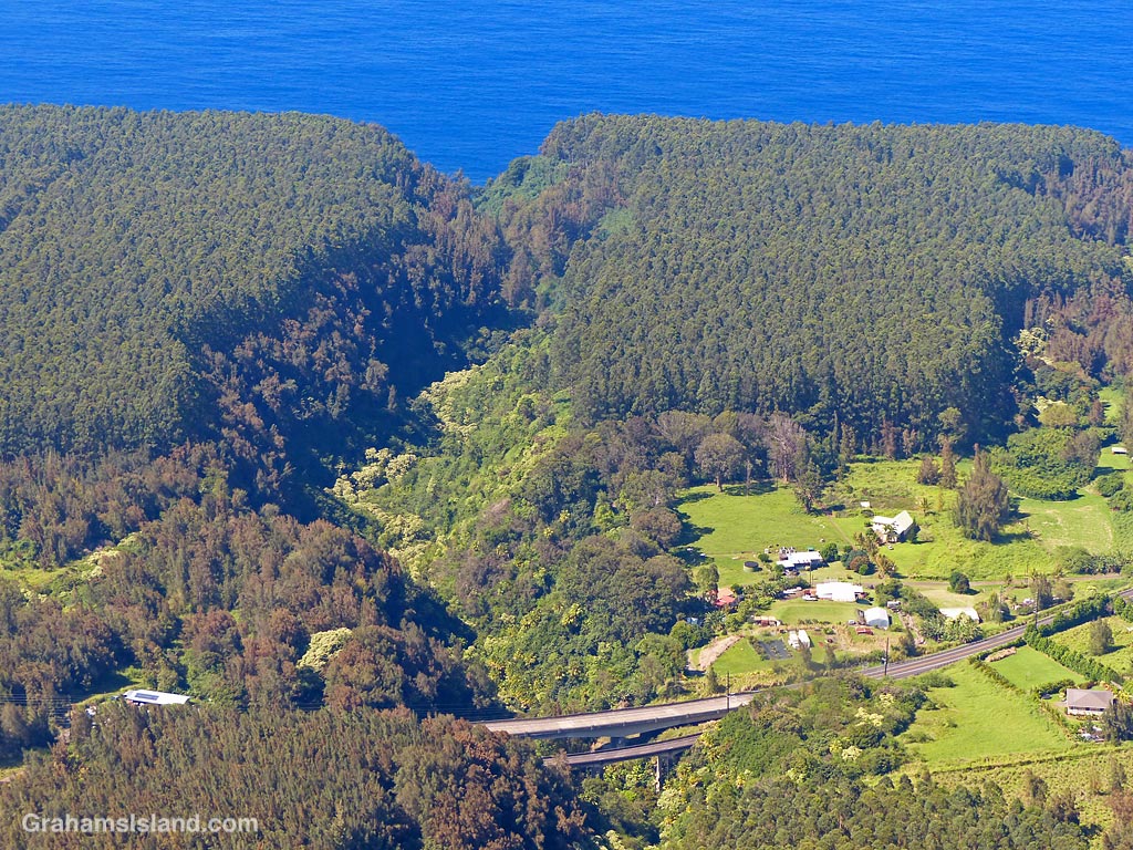
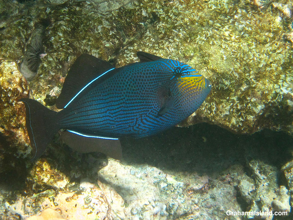
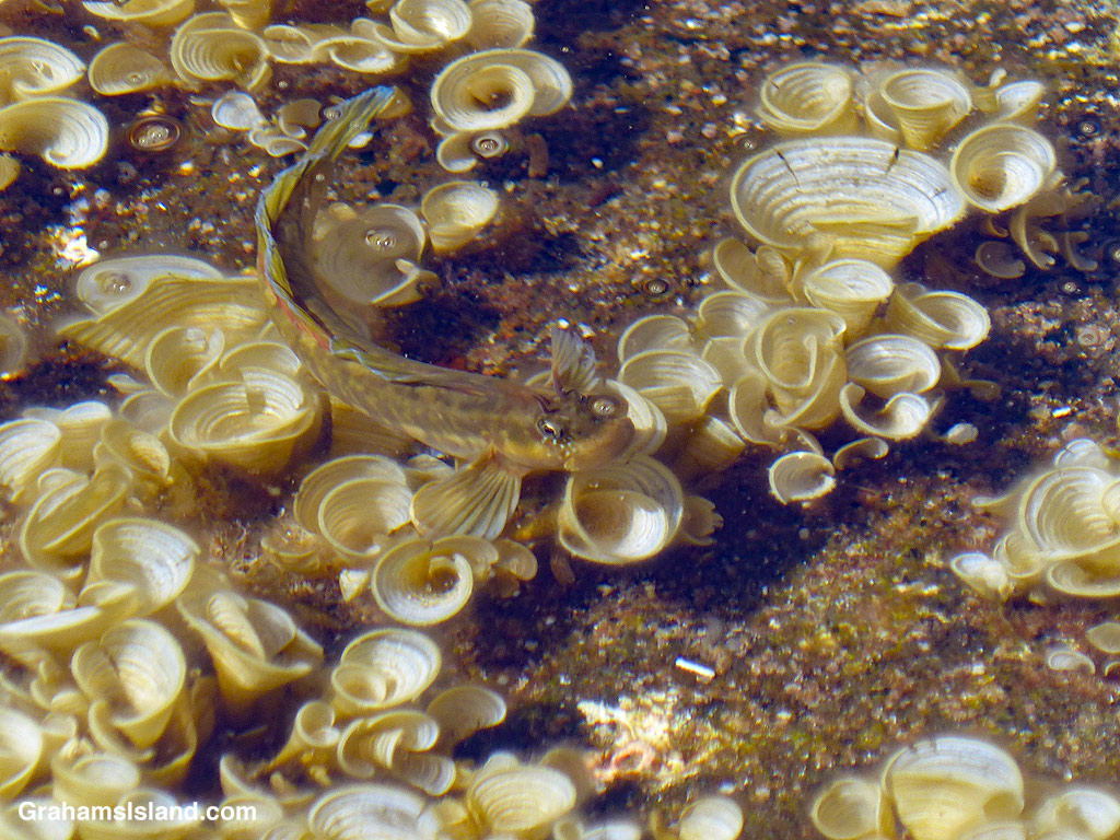
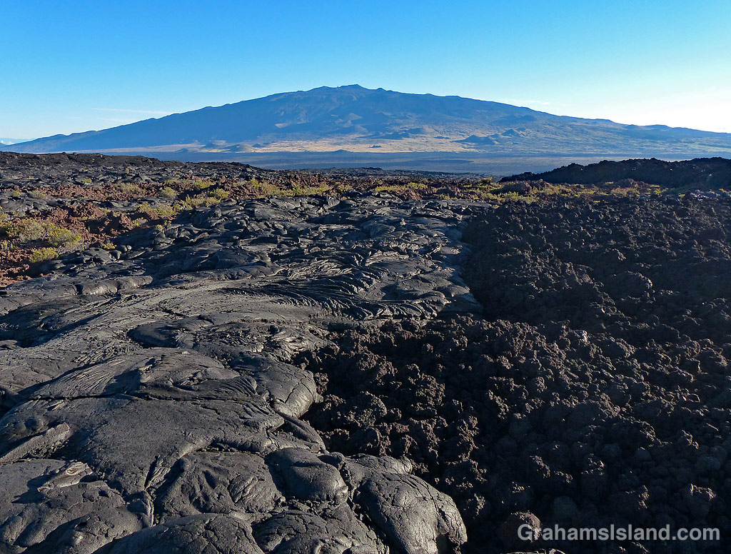
Rainbow Falls in Hilo.The stairs down to Kaumana Caves in Hilo.A view of Kealakaha Stream gully, on the Hamakua Coast, from the air.An agitated Black Triggerfish.Hawaiian Zebra Blenny in a filed of Padina japonica seaweed.A view of Mauna Kea from Mauna Loa showing Pahoehoe and A’a lava flows side by side.
This week’s Sunday Stills challenge theme is ‘Sunrises and Sunsets.’ See more responses here.
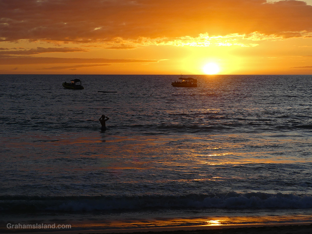
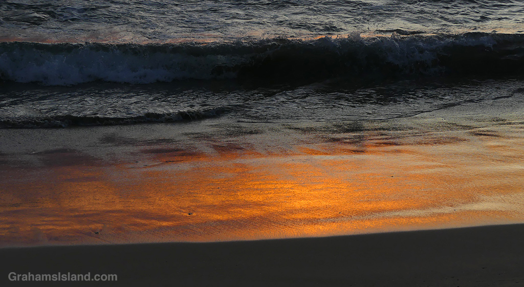
Let’s start with a sunset for a change. While waiting to go snorkeling from the beach at Mauna Kea Resort, the sunset was lovely, in the sky, the water, and on the sand.
Sunrise over Kohala Mountain can be a cloud-shrouded disappointment, but other times it is a wonder to behold.
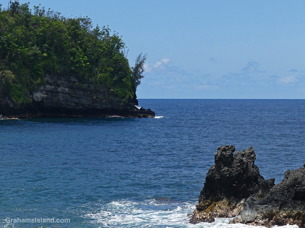
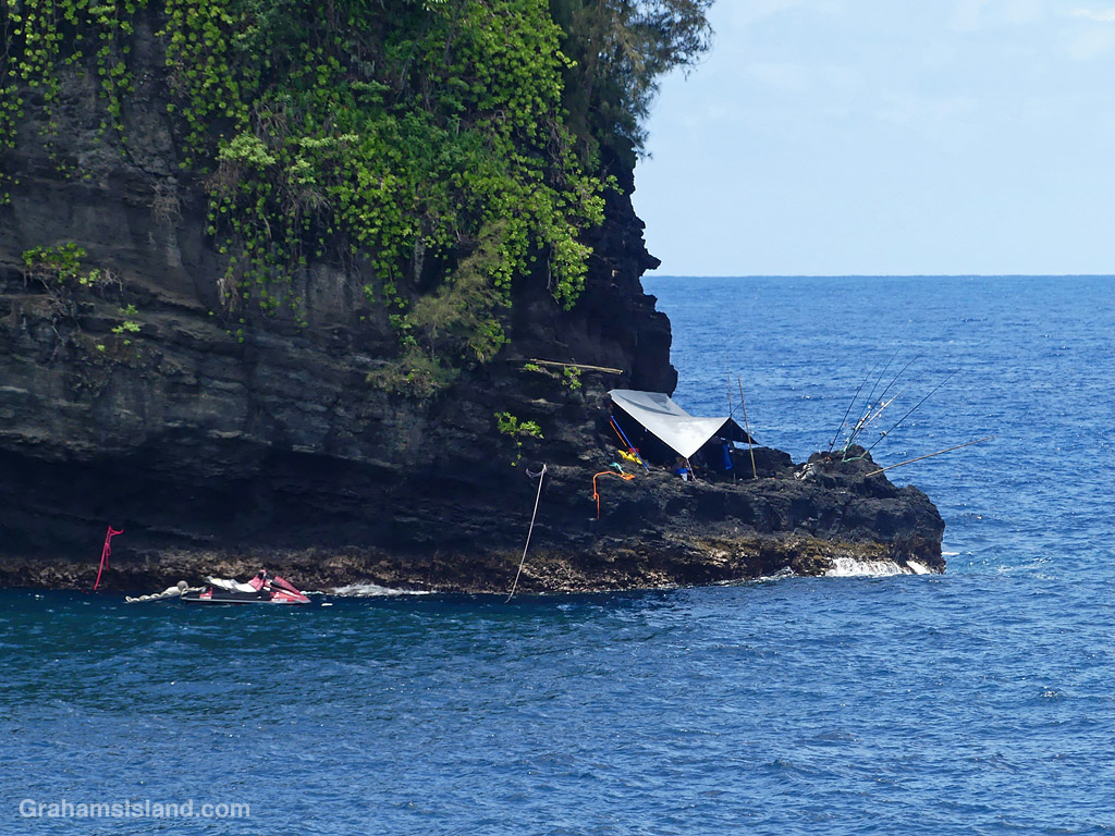
Last weekend, there was an island-wide fishing tournament. I’d seen people camped out the day before the event, when I went on my walk around Upolu, but on the day, I was on the east side of the island.
This camp caught my eye for its location, at the foot of a steep, wooded cliff. I don’t know whether there’s a path to the spot or whether it’s only accessible by foot. Neither method looks easy, and it’s not a spot I’d want to be in if the winds picked up.
I have no idea how they fared, though they should get some points for bravery. In case you’re wondering, I didn’t enter the tournament, though if I had, I’d have been a strong candidate for dead last!
This week’s Sunday Stills challenge theme is ‘Great Outdoors Month.’ See more responses here.
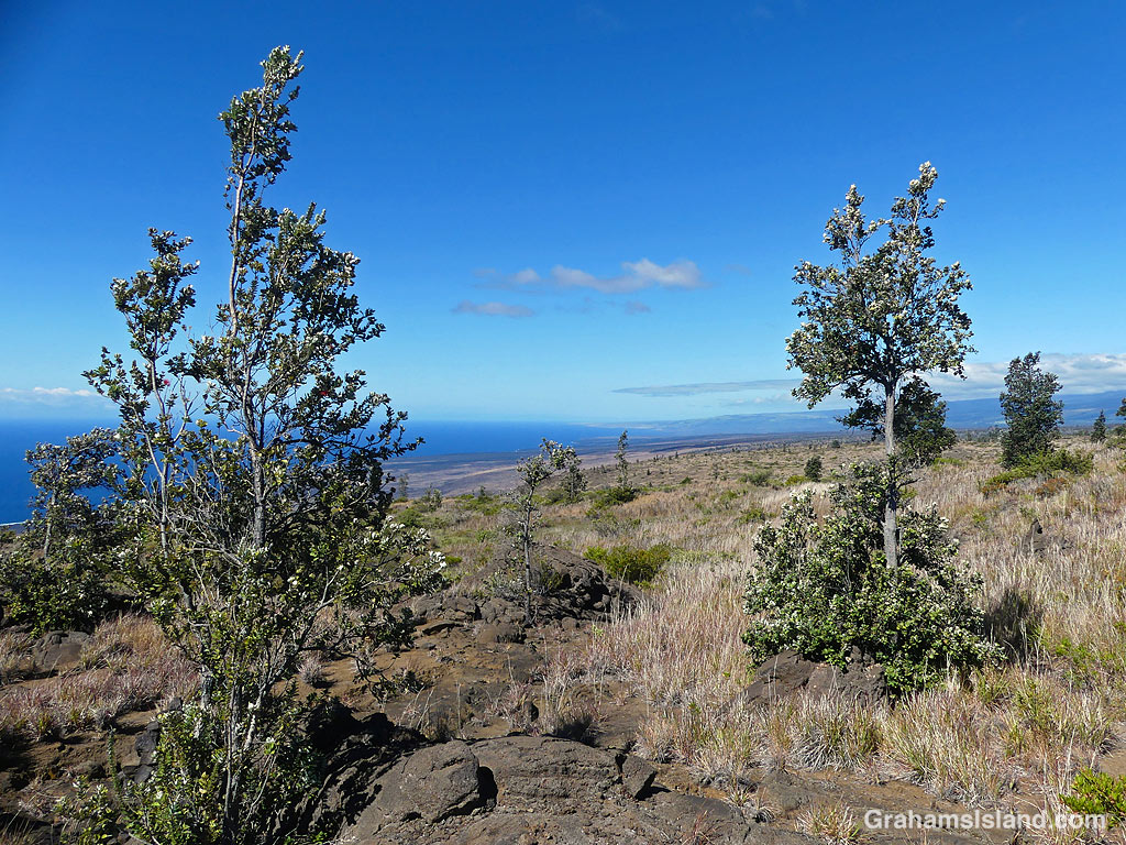
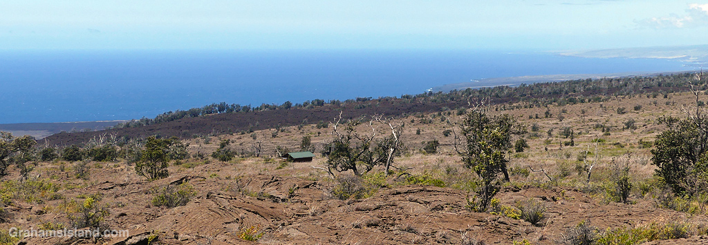
I did this hike, at Hawaiʻi Volcanoes National Park, quite a while ago, but for one reason or another the post never came together and then went missing in my files! This hike started from the lookout at the end of Hilina Pali Road. A few years back, I did a different hike from this starting point that almost did me in (here). This time, having learned from that experience, I stayed on top of the pali (Hawaiian for cliff). My destination was Pepeiao Cabin (pronounced ‘pay-pay-ow’), about five miles away, though the trail is the Ka’u Desert Trail, part of which I’ve hiked from the other end (here).
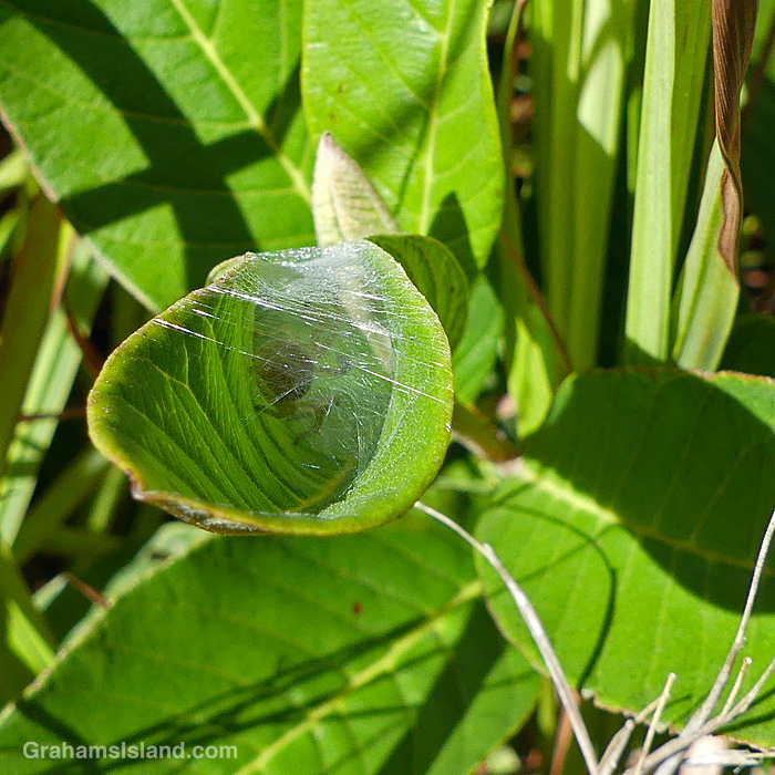
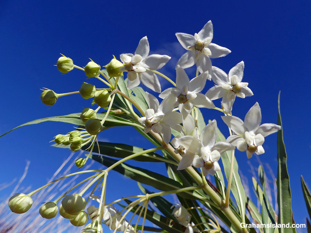
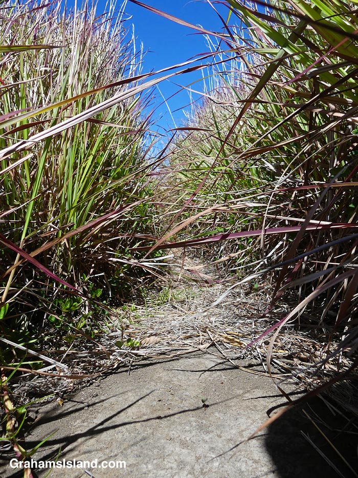
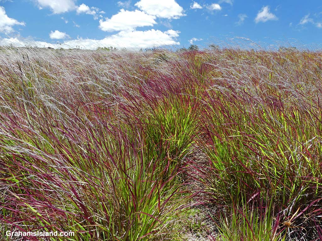
Ohia trees on the trail.A spider sheltering in a leaf.The Ka’u Desert Trail.The Ka’u Desert Trail marked by cairns.View from The Ka’u Desert Trail.
The day was sunny, but not too hot, and with a nice breeze for the most part. The elevation drop (and gain on the return) is only around 500 feet so it wasn’t too strenuous, and the trail was fairly easy to follow. It passes through grassy areas and across lava flows, and is well-marked with cairns. Ohia trees dot the landscape, along with a variety of shrubs and other flowers. I didn’t see too many birds, but there was a decent show of butterflies and bugs. The views were splendid, down to the coast or upslope towards Mauna Loa.
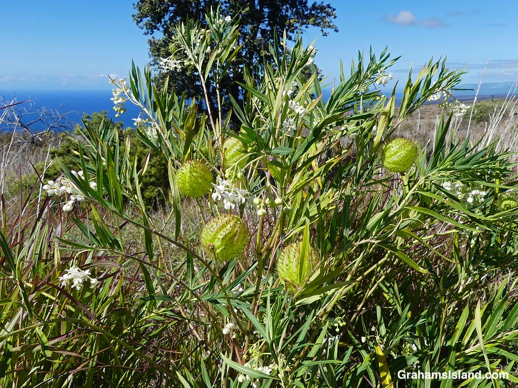
A Balloon plant on the Ka’u Desert Trail.Balloon plant flowers on the Ka’u Desert Trail.Common Guava on the Ka’u Desert Trail.Grasses alongside the Ka’u Desert Trail.Grasses alongside the Ka’u Desert Trail.
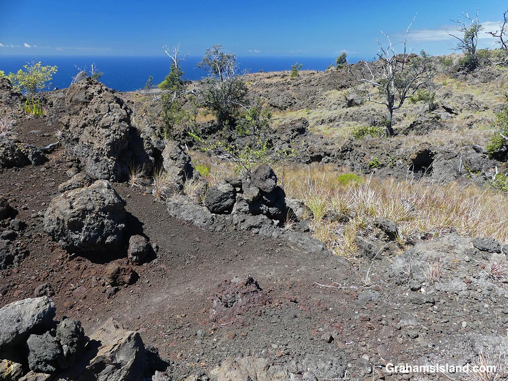
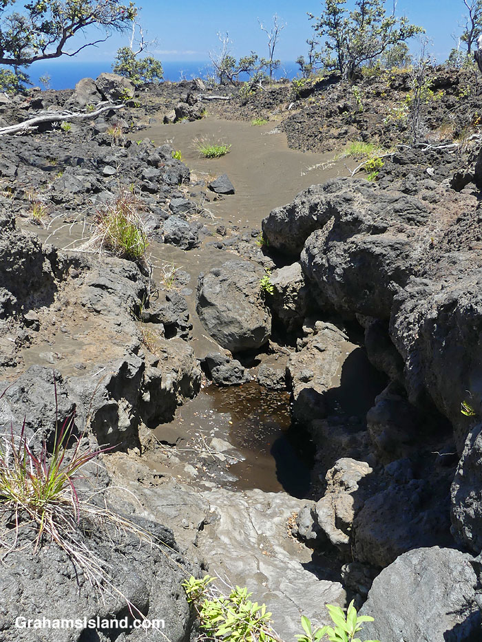
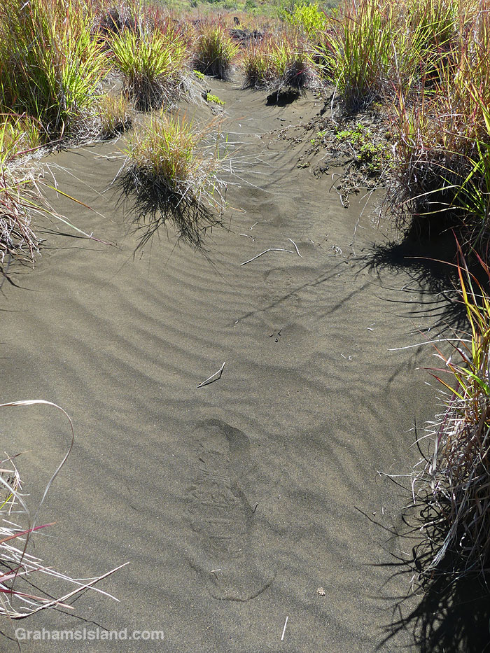
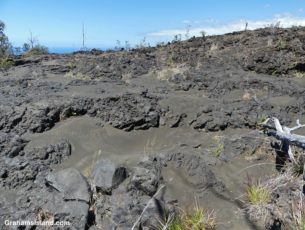
All the backcountry trails I’ve hiked in the park have featured something particularly unusual and interesting. On this hike, I was amazed by the substantial areas of sand on the trail or alongside it. This certainly didn’t get there from the beach, since the elevation is around 2,000 feet. My assumption is that it’s just volcanic rock broken down by rainfall, but just not washed down to the coast. Some of the sand was grassed over and it was like walking through dunes on the coast!
Sand on the Ka’u Desert Trail.Footprints in the sand on the Ka’u Desert Trail.Tracks in the sand on the Ka’u Desert Trail.Sand on the Ka’u Desert Trail.Sand in the lava on the Ka’u Desert Trail.
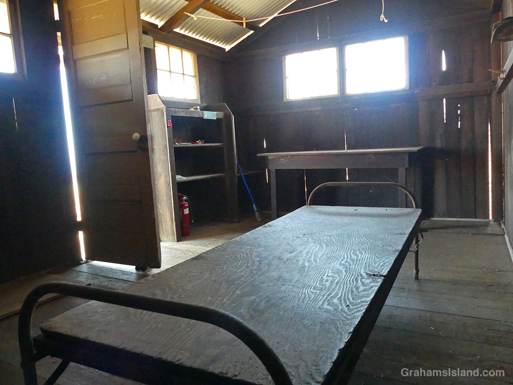
Eventually, I reached Pepeiao Cabin. There are several of these backcountry cabins in the park, and they require a permit to stay at them. This one was typically rustic, with a catchment water tank that may or may not contain water, depending on the weather and use. There’s also an outhouse with a splendid view. Inside, the cabin was basic, but the kind of place I’d be happy to stay in if it was raining outside.
Pepeiao Cabin on the Ka’u Desert Trail.Pepeiao Cabin on the Ka’u Desert Trail.The interior of Pepeiao Cabin on the Ka’u Desert Trail.The outhouse by Pepeiao Cabin on the Ka’u Desert Trail.
After I got back, I saw that the park website says “Pepeiao is in the southwestern reaches of Hawaiʻi Volcanoes National Park backcountry. The cabin is no longer safe for use and visitors should plan on tent camping.” I was a bit surprised because I’ve certainly stayed in plenty of less salubrious accommodations in my day!
Also posted for Jo’s Monday Walk. See more responses here.
A Giant African Land Snail moves forward with purpose, if not speed.
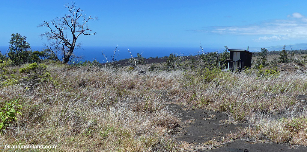
The idea of The Numbers Game is to enter a number into the search bar of your computer and then post a selection of the photos that turn up. This week’s number is 144. Captions are on the photos. You can see more responses here.
Also posted for Becky’s Squares: Move Forward, Reconstruct, Renew, and/or are Burgeoning. See more responses here.
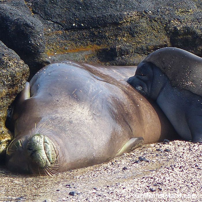
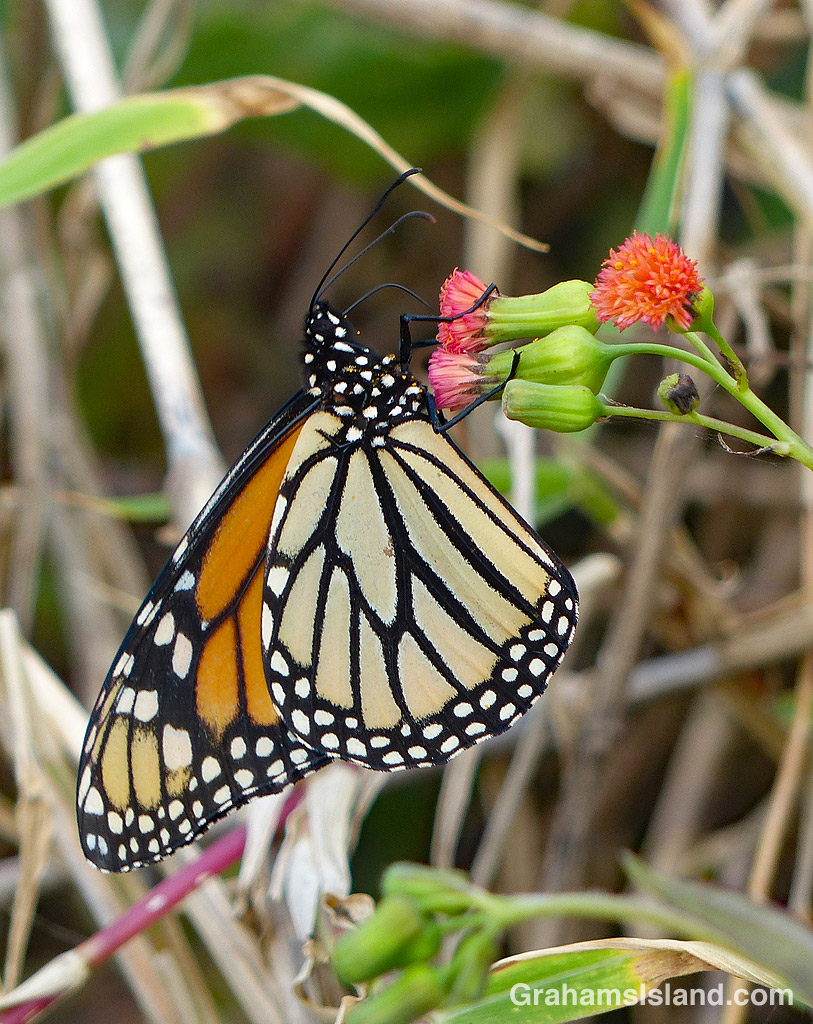
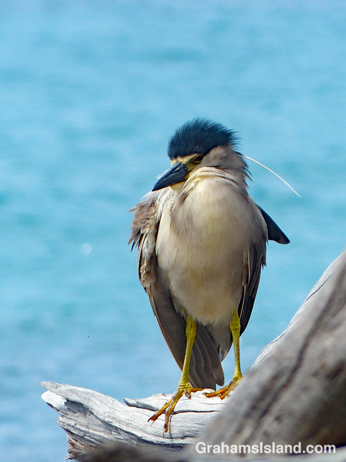
A monk seal and her pup at feeding time.A Japan Airlines plane taxis before takeoff at Kona Airport.A couple of spear fishermen exit the water, with their catch, in North Kohala.A Monarch Butterfly on a Tasselflower.A Black-crowned Night Heron having a bad hair day.A Lesser Grass Blue Butterfly opens its wings.
After the flash floods around Kawaihae, a couple of weeks ago, I noticed this area where sizable boulders had been washed up against the highway guard rail. A week later, the area had been cleaned up and the drainage channels reconstructed.
I thought the contrasting views were interesting, but what really caught my eye, was the land beyond the drainage channel. Dusty brown in the top photo, it turned a bright shade of green, thanks to the deluge of rain. The top photo is quite representative of the area around Kawaihae, which is the driest part of the island, but the bottom one is how most of it looks currently, at least for a short while.
Posted for Becky’s Squares: Move Forward, Reconstruct, Renew, and/or are Burgeoning. See more responses here.
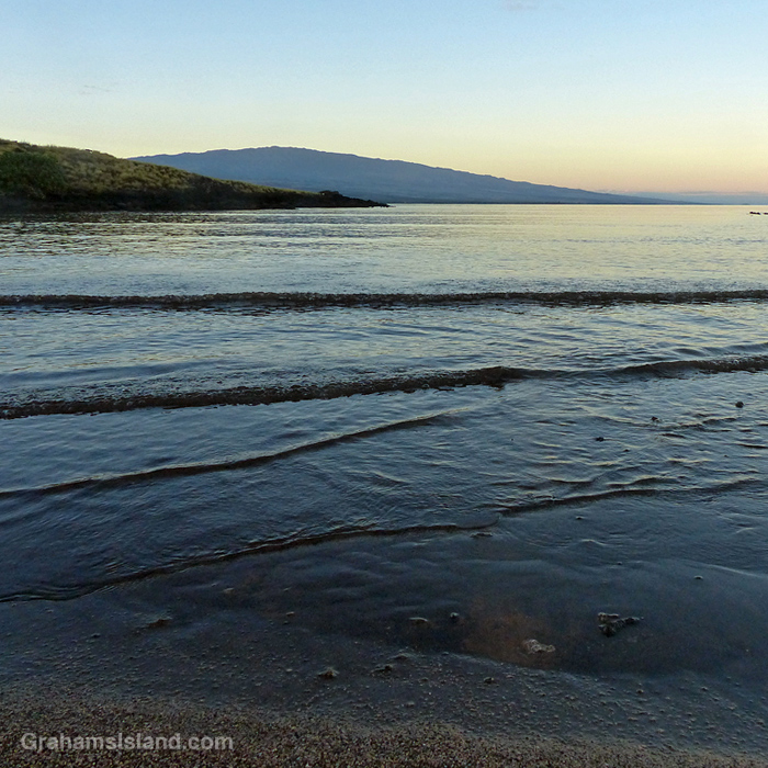
A calm morning with little wavelets and a view of Hualalai.
This week’s Sunday Stills challenge theme is ‘Water, Waterscapes and/or Water Safety.’ See more responses here. Captions on the photos.
Also posted for Becky’s Squares: Move Forward, Reconstruct, Renew, and/or are Burgeoning, because waves are always moving forward. See more responses here.
Time for a swim. Looks like a good morning for fishing too.Uh oh. Here comes a bigger wave.Best stay outside the surf line.They don’t look too big from up here.Still, the surfers will be happy.Ahhh. All is calm again.