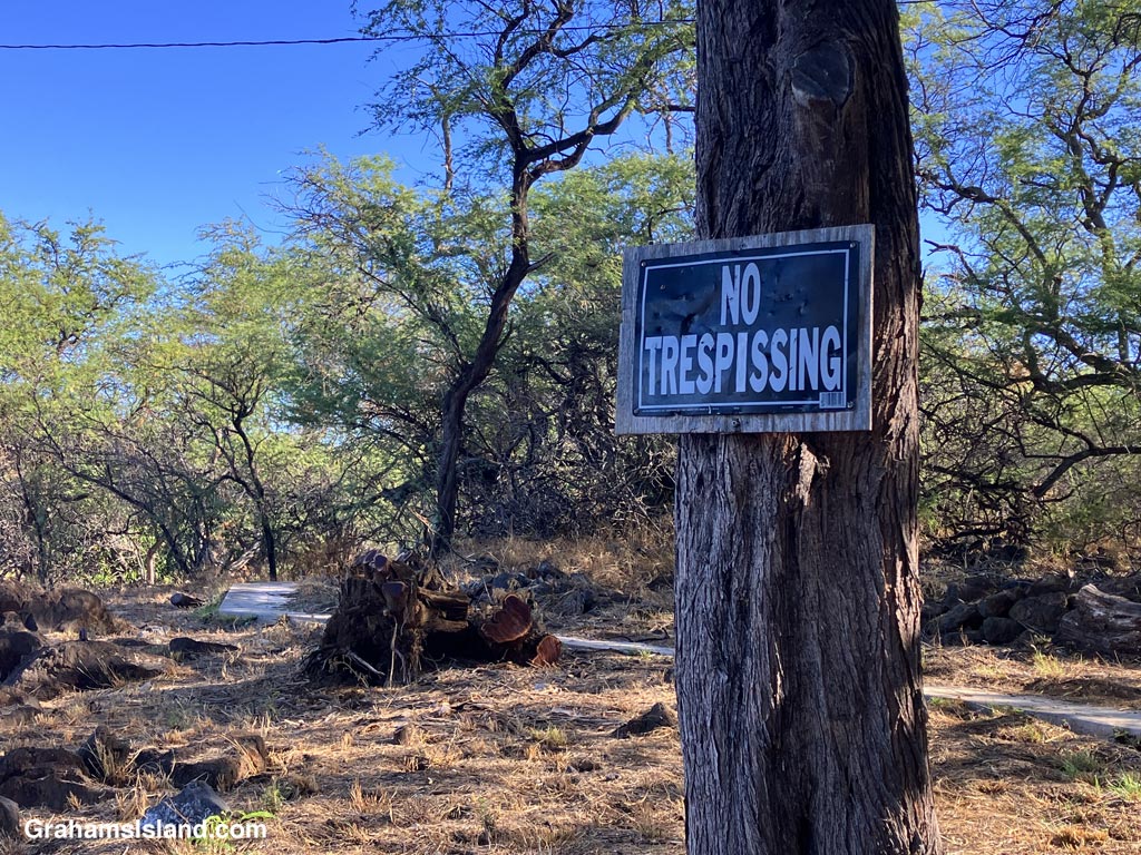
But what if I really have to go?
Posted for Bushboy’s Last on the Card photo challenge. See more responses here.

But what if I really have to go?
Posted for Bushboy’s Last on the Card photo challenge. See more responses here.

State and county parks have quite a few restrictions regarding their use, but this sign illustrates that it might be better to plan on having brunch there, rather than breakfast!

My immediate response to this sign, at Lapakahi Historical Park, was to think, ‘You mean, before I fall in the water.’ In truth, the sign is there because the land to the right of it is no longer park property. I’m just not sure why they oriented the sign this way, but there’s a nice, simple bench next to the sign where one can contemplate the matter
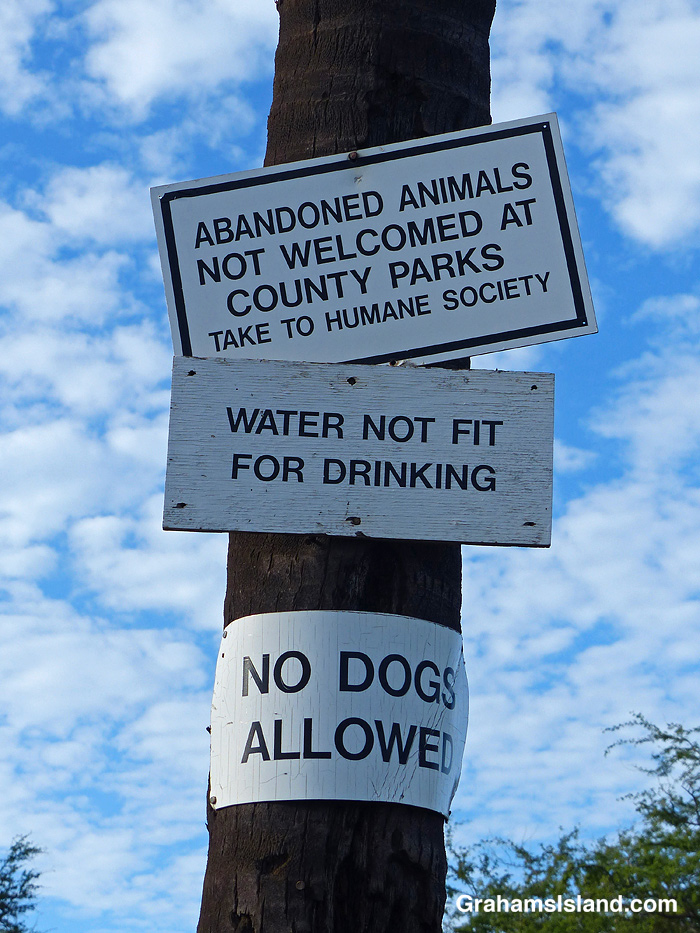
I was rather taken by these signs at a local beach park. Probably not a photo to use in promotional materials.
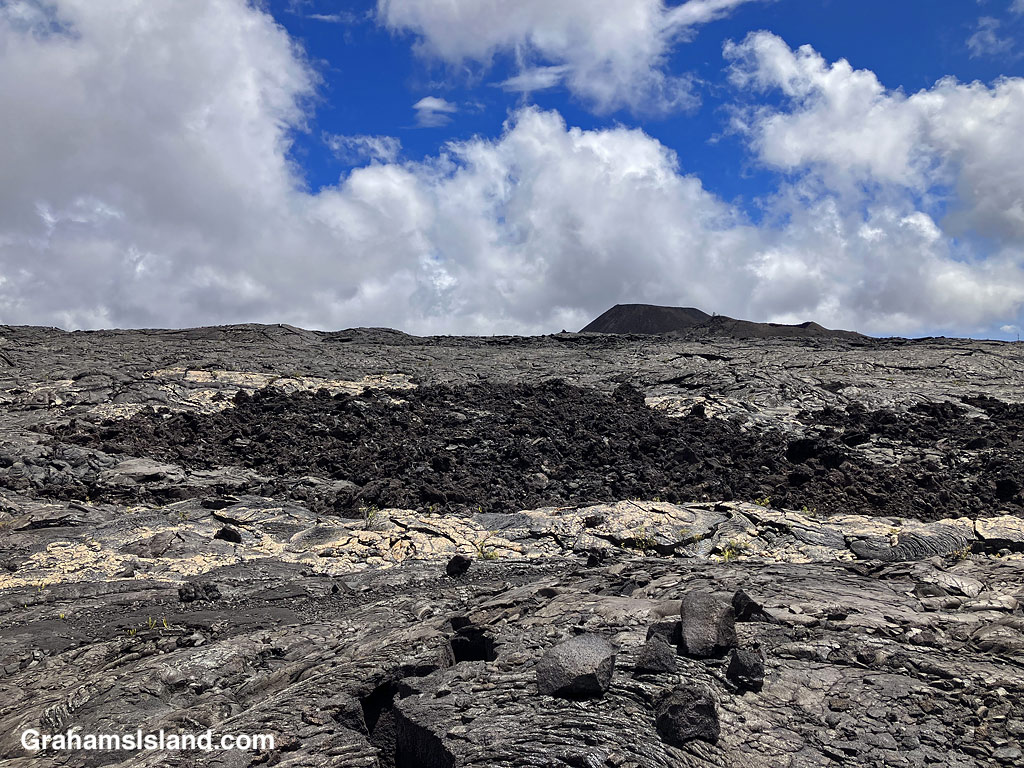
This week’s Sunday Stills challenge theme is ‘I’d Rather Be…’ See more responses here.
It had been a while since I went hiking, for various reasons, and it’s something I was missing, something I’d rather be doing. So last week, I headed down to Hawaii Volcanoes National Park to try the Ka’u Desert Trail. This backcountry trail has been on my list for a long time, but I had never done it before. For one thing, it’s about as far from my house as one can get on the island. For another, it’s directly downwind from Kilauea Volcano, so when the volcano is active and the trade winds are blowing, gasses blow across the length of the trail.
The latest eruption of Kilauea is currently either paused or over, so gas emissions are much reduced, and last week, the trade winds had given way to winds from the southwest. So off I went.


The trailhead is several miles west of the main entrance to the park, with a strip of parking along the highway. The first mile of the hike is also known at the Footprints Trail. It’s a sort of paved path that threads through ohias to a small building that houses footprints left by early Hawaiians in volcanic mud and ash. Alas, I couldn’t identify any footprints in the display. Shortly after the footprints, the path breaks out of the vegetation into open lava fields. This isn’t a tropical Hawaii walk, this a bleak hellscape Hawaii walk. Or is it?

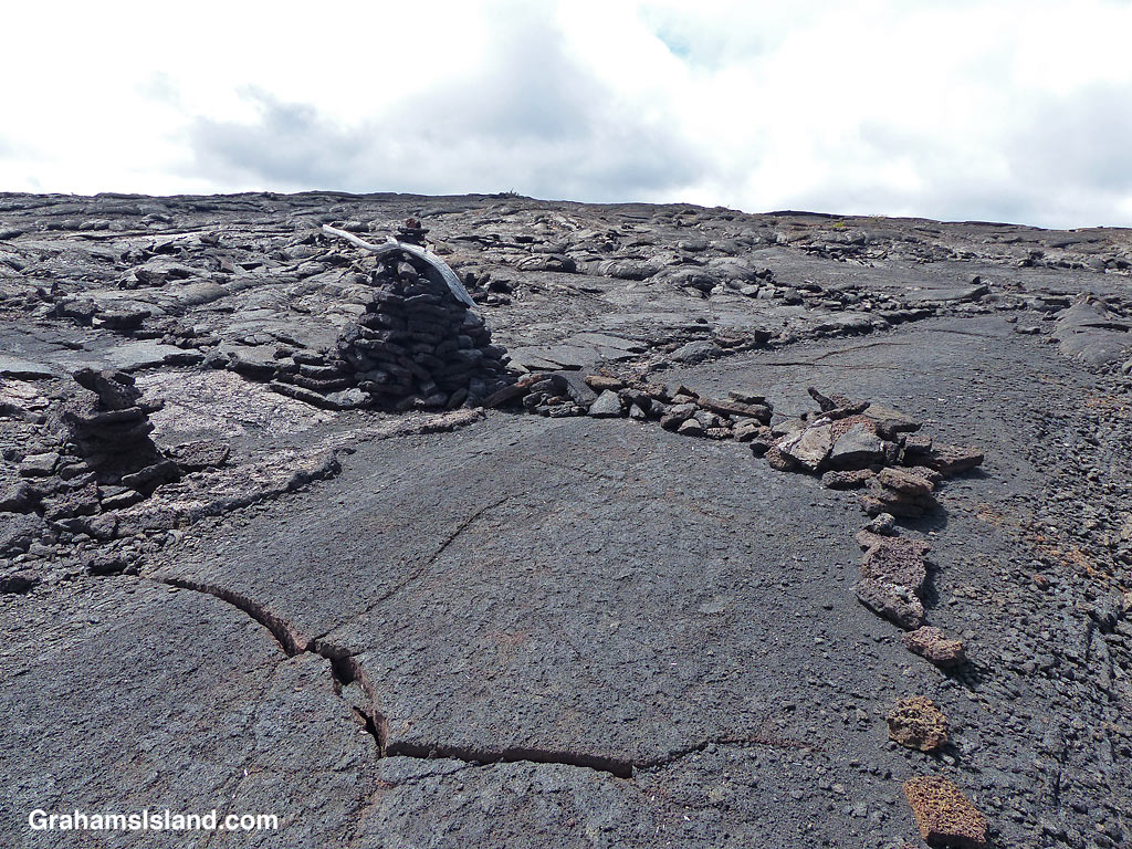
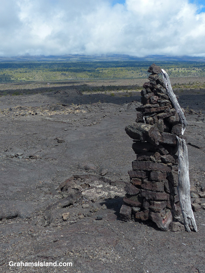
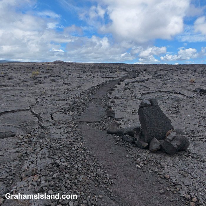
The trail ascends gently to the only junction for miles around, at Mauna Iki. To the left is a trail back towards the heart of the park. The Ka’u Desert Trail heads to the right and into backcountry wilderness. Mauna Iki was the site of an eruption in 1919 and the trail traverses the lava fields from this eruption.
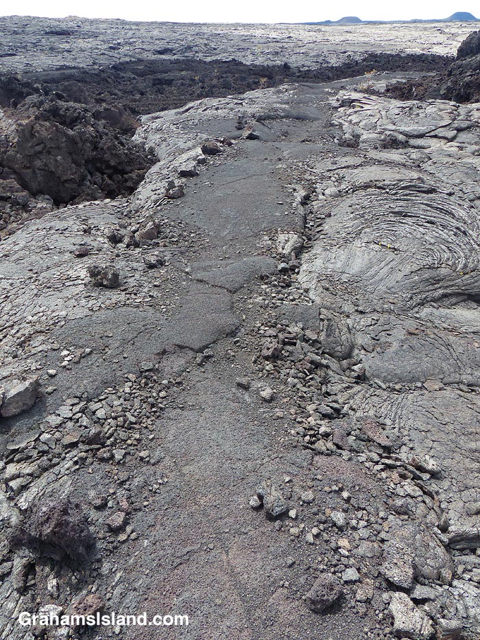

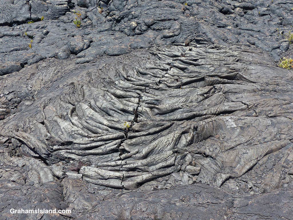
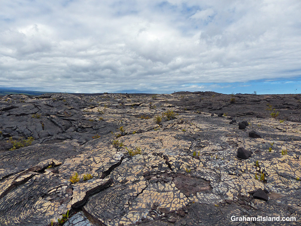
Much of the trail is over pahoehoe lava, which is rounded and much easier to walk on than jagged a’a lava. The trail is marked by cairns and single rocks placed alongside it. It’s pretty easy to follow with just one or two parts where attention has to be paid to make sure one doesn’t stray.

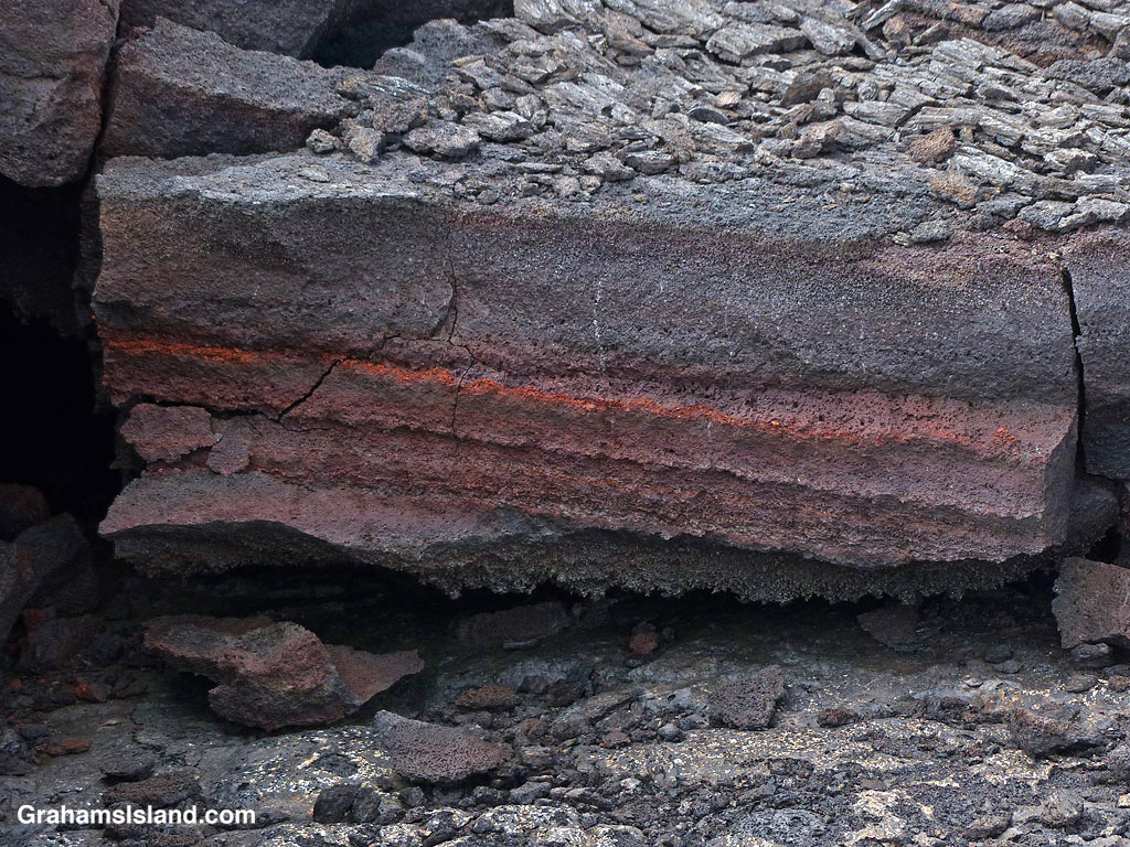


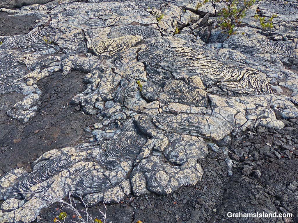

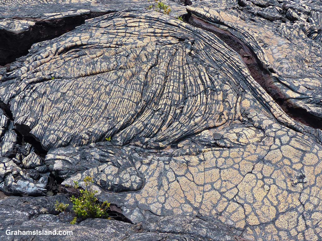

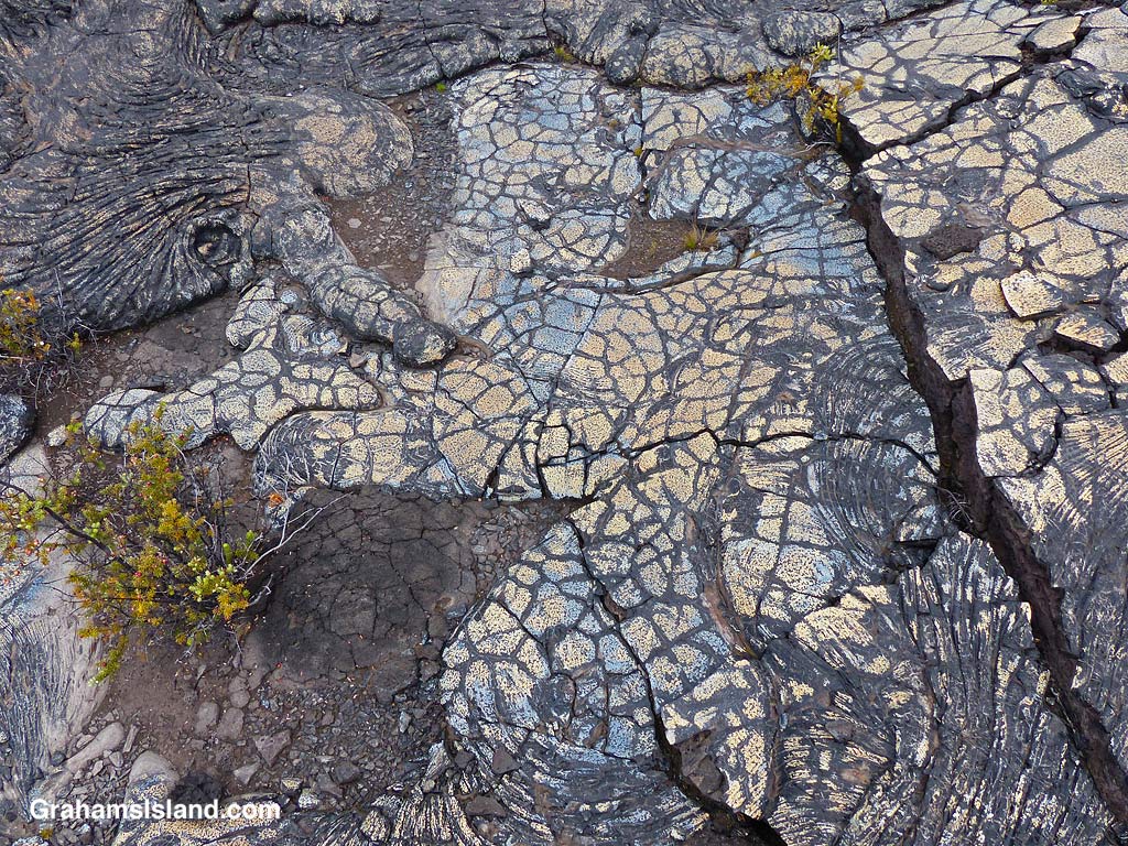
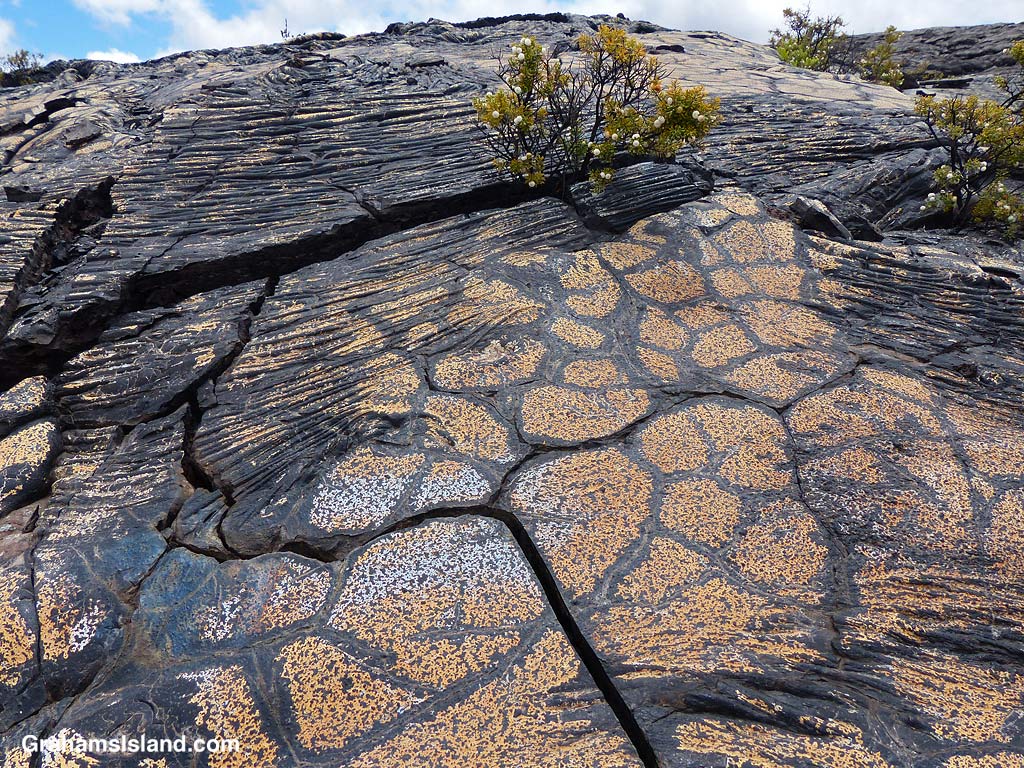
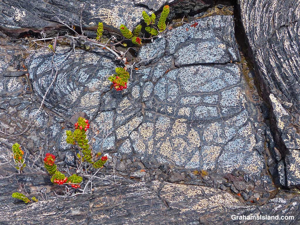


It wasn’t far along this part of the trail that I first encountered blue lava. That’s right, blue lava. Who knew? But not just blue. There’s bronze, pink, red, orange, gold, and who knows what. I’ve seen colorful lava on the Puna Coast Trail, but this was more varied and quite wonderful. In places the trail crossed this colorful lava and I felt bad for walking on it, though as I hiked I could see many more patches of color out in the lava fields. It’s not wise to leave the trail since there are many lava tubes, some with very thin ceilings.
This is an out and back trail and I turned around once I reached the Kamakai’a Hills, after about 5 miles. It’s another 2 or 3 miles to the next junction where there is a small cabin.
Also posted for Jo’s Monday Walk. See more responses here.
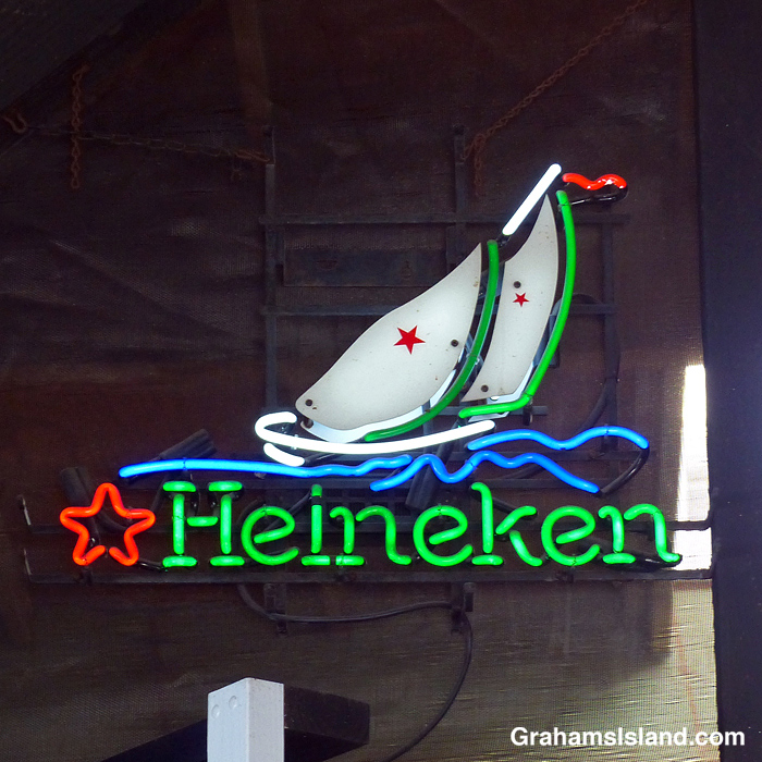
Back in the day, I used to make home brewed beer. I needed bottles to put the beer in and that required emptying bottles that formerly held beer. Heineken was one of the many brands that were pressed into service. But there was one problem. Those green bottles were made with thinner glass and had a tendency to blow up under the pressure of my home brew.
I kept my beer brewing bottles in my wardrobe and the Heineken bottles’ volatility meant that my clothes acquired a certain aroma. It’s probably why I wasn’t more successful in the job I had at that time!
None of this has anything to do with the sign of course, but any time I see the Heineken name I immediately associate it with those days.
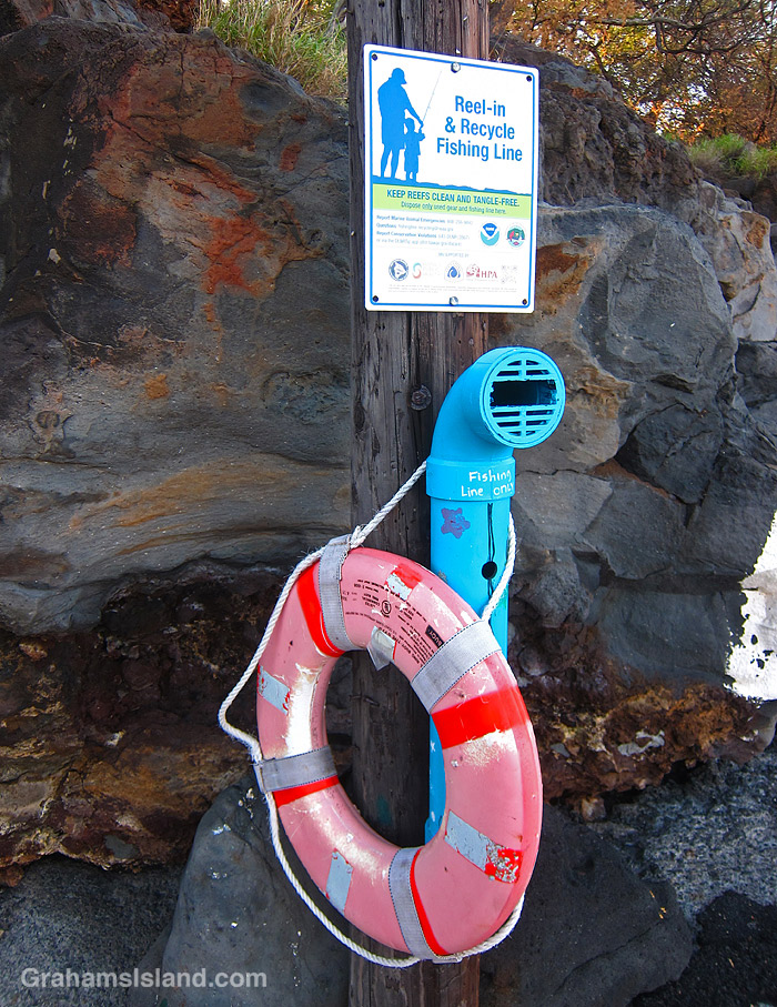
This sign and accompanying tube appeared at two local parks a couple of months ago. It’s part of a nationwide program to recycle discarded and snagged fishing line, which can be extremely harmful to marine life. The program has been going since the 1990s, but this is the first time it’s been available locally.
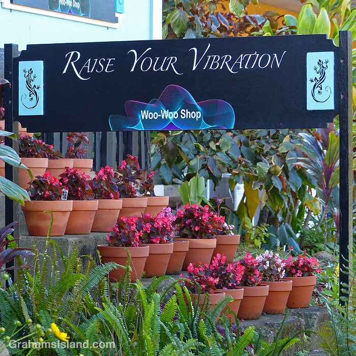
While walking through Hawi, I noticed that a new store has opened. I liked the sign out front as well as the rows of colorful potted flowers.

