
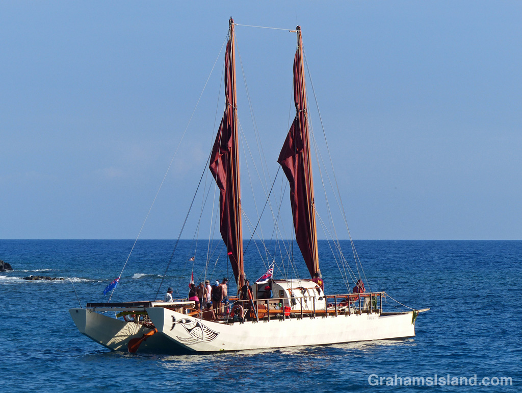
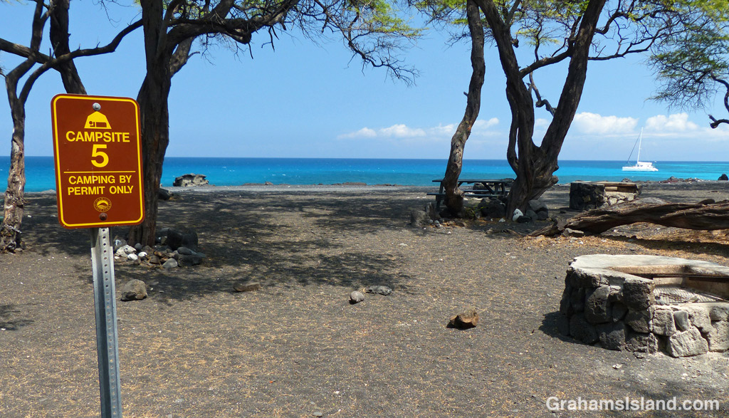
The idea of The Numbers Game is to enter a number into the search bar of your computer and then post a selection of the photos that turn up. This week’s number is 135. Captions are on the photos.
You can see more responses here.


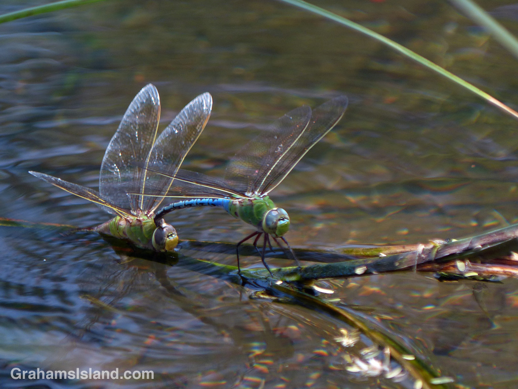
The idea of The Numbers Game is to enter a number into the search bar of your computer and then post a selection of the photos that turn up. This week’s number is 135. Captions are on the photos.
You can see more responses here.
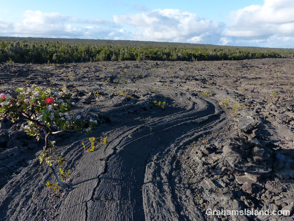
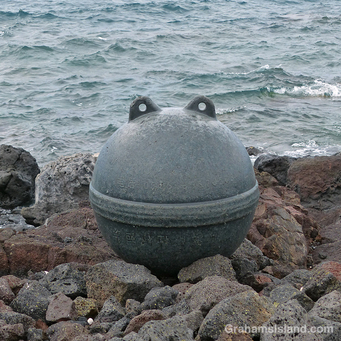
The idea of The Numbers Game is to enter a number into the search bar of your computer and then post a selection of the photos that turn up. This week’s number is 133. Captions are on the photos.
You can see more responses here.

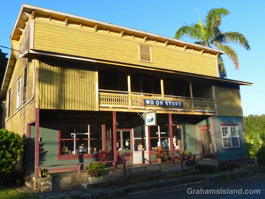

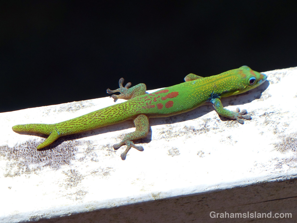
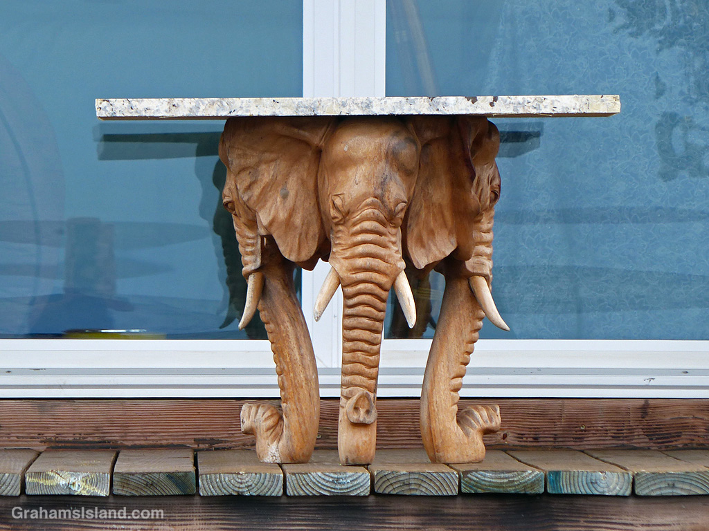
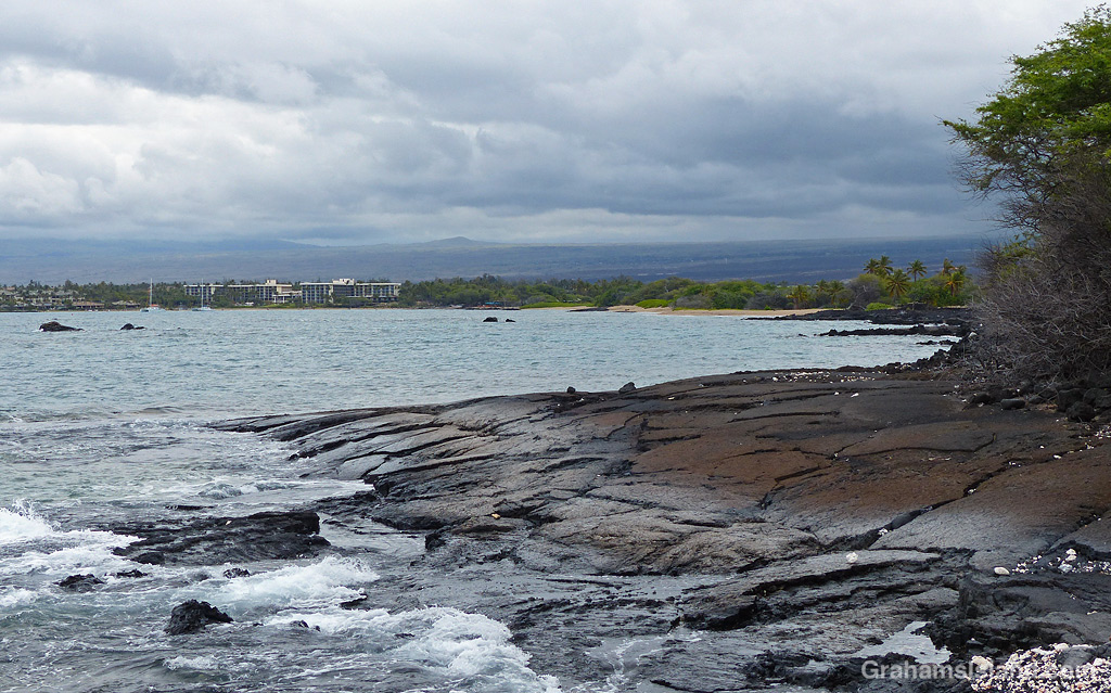
The idea of The Numbers Game is to enter a number into the search bar of your computer and then post a selection of the photos that turn up. This week’s number is 131.
You can see more responses here.
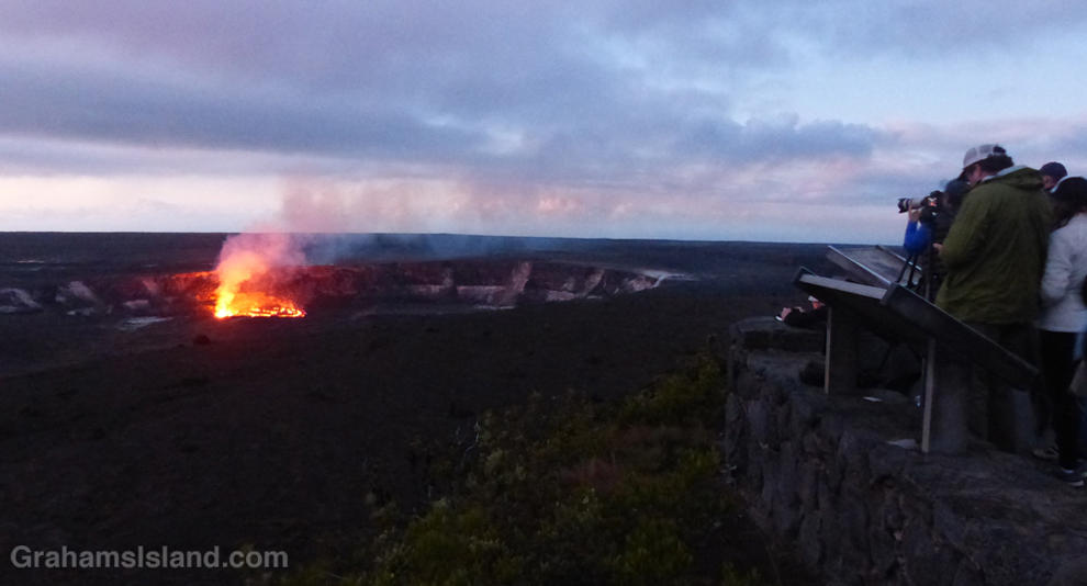
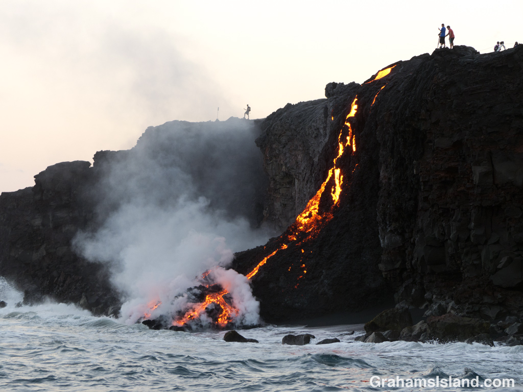
This week’s Sunday Stills challenge theme is ‘Iconic Places and Spaces.’ See more responses here.
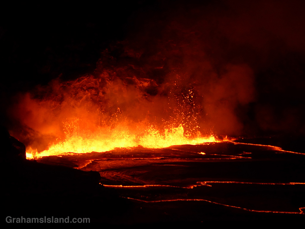
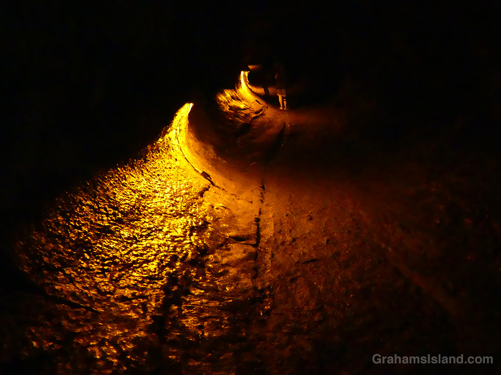
I wasn’t sure what to post for this, but Kilauea is about as iconic as anything on the island, so I thought I’d post some photos from volcanic activity that I’ve seen since I moved here. Captions on the photos with a link to the original post.


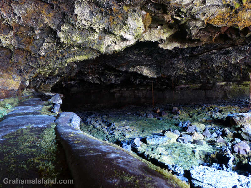
I visited Hawaii Volcanoes National Park recently, with friends from the mainland, and towards the end of our visit we stopped by Thurston Lava Tube. These days the tube is known as Nāhuku, which means “the protuberances” in Hawaiian. There aren’t any protuberances in the tube these days, but it’s still fun to walk the dimly lit tube, imagining magma rushing through it, until the eruption stopped and the tube drained.
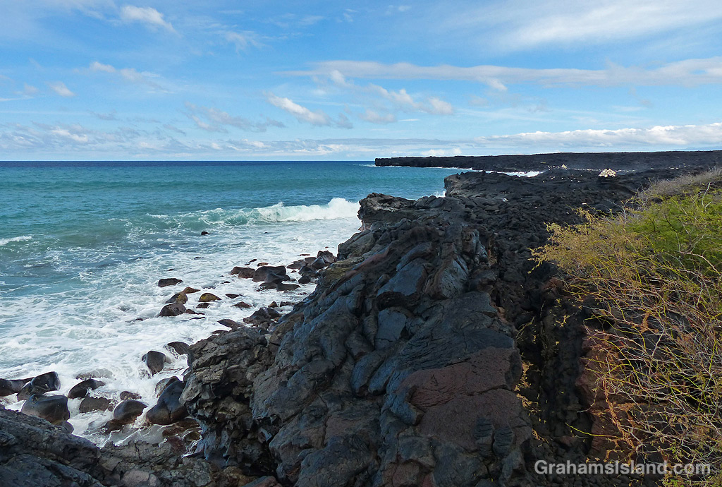
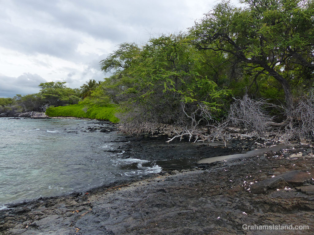
Hawaii isn’t all sandy beaches. There are lots of rocky shores and lava ledges such as this stretch north of Kihilo Bay.
This week’s Sunday Stills challenge theme is ‘The Great Outdoors.’ See more responses here.
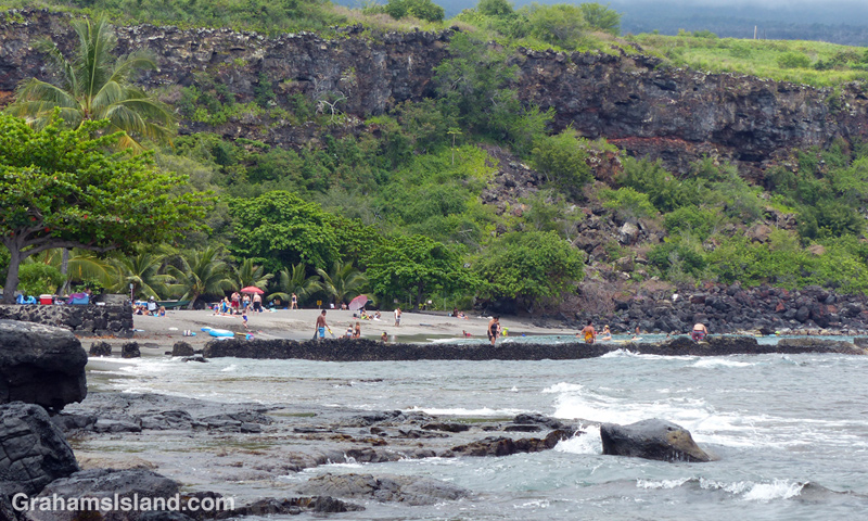
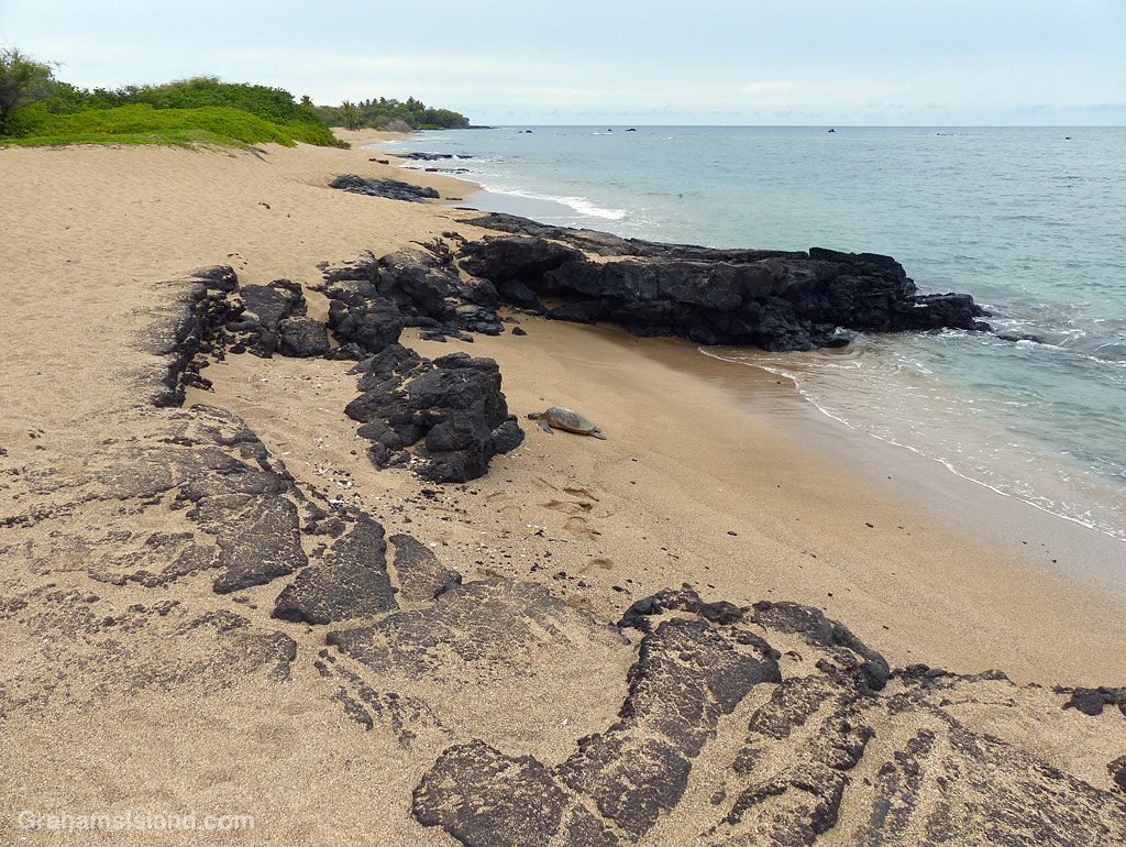
Recently, I took a hike along the South Kohala Coast, starting out at ʻAnaehoʻomalu Bay in Waikoloa Resort, and heading south to Keawaiki Beach, before returning the same way. This is a hike I’ve done before, but not for some time.
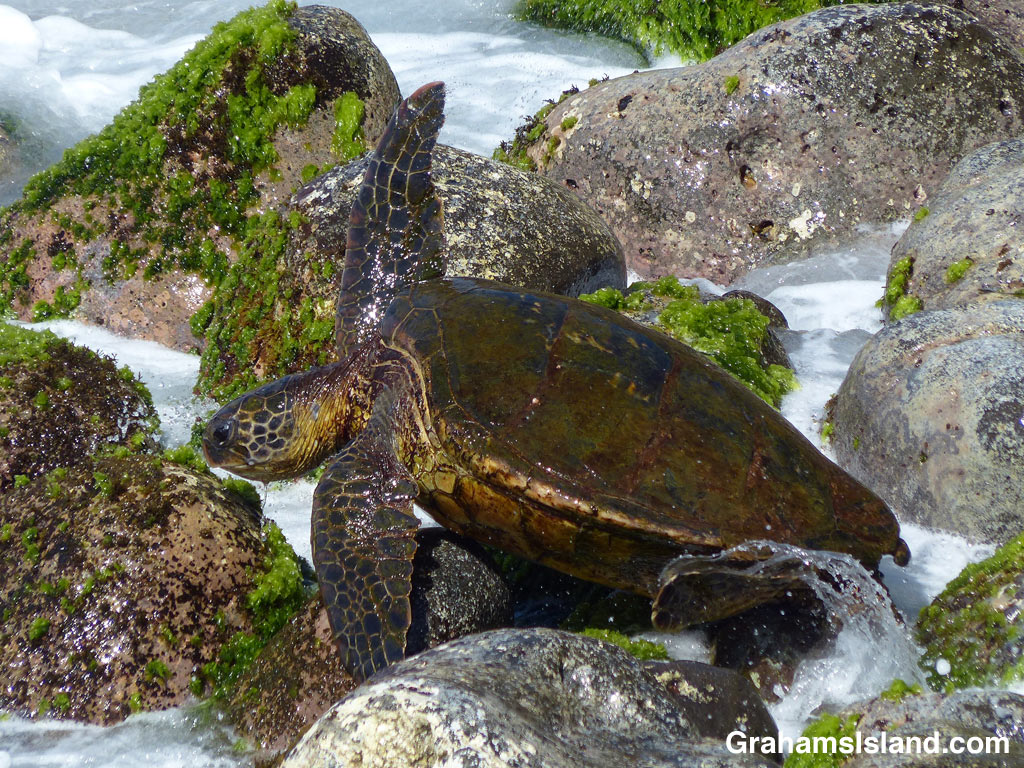
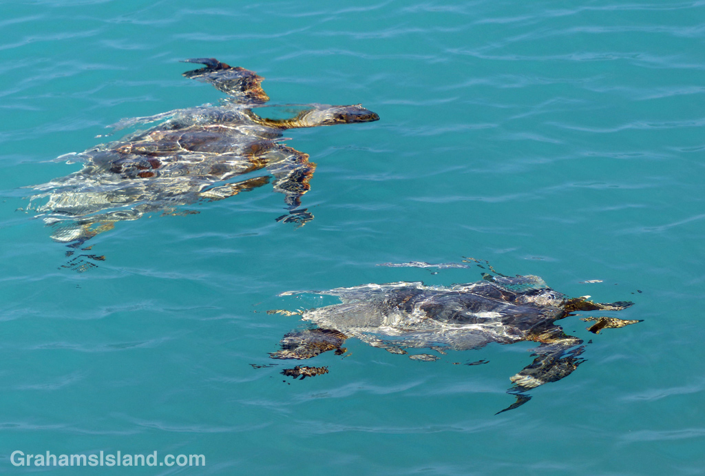
ʻAnaehoʻomalu Bay is often referred to as A Bay because it’s a tad easier to pronounce. It’s one of the more popular beaches on the island, but head south, around the corner from the main beach area, and the golden sands are largely deserted. Well, except for the odd green sea turtle taking a nap.
There are a few rustic structures behind the beach along here, but it’s a far cry from the resort developments less than a mile to the north. When the sands end, there’s a short stretch where high tides wash up against a wall of greenery. Hiking at those times, which I did, involves nimble footwork or getting your feet wet. I’m not nimble!

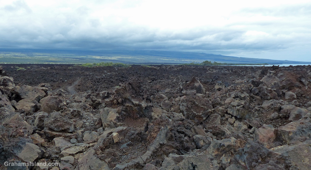
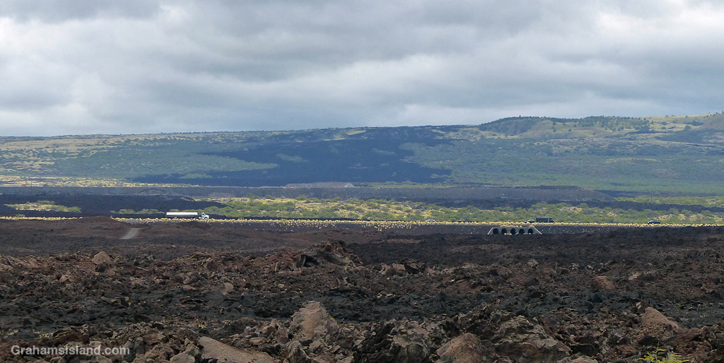
Beyond this point the coast becomes rocky lava, where flows from Mauna Loa have tumbled into the ocean in bygone days. The trail is mostly over a’a lava, which is irregular and rough. The trail itself is not hard to walk, but straying into the lava fields is another matter entirely.

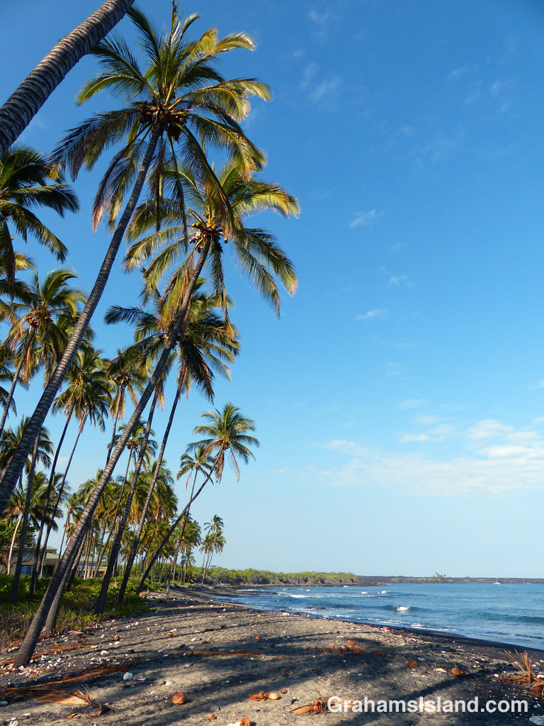
The first marker on this part of the trail is the lone palm tree at Akahu Kaimu Bay. Just inland from this palm is a pool, which is mostly freshwater and deep enough to swim in. This is a welcome option on a hot day, but since it was mostly overcast with a nice onshore breeze, I didn’t take a dip this time.


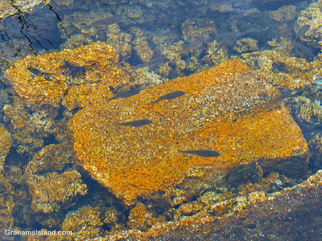
The trail continues over the lava field to the next bay and it was here I got lost. The coast trail often passes over the lava rather than follow the coast around points and the only trail I could see appeared to be doing just that. But when I followed it for a while I saw that it continued inland. However, I could also see that where it headed was to the Golden Pools of Keawaiki, which was I planned on visiting anyway, so I carried on until I came to familiar ground. The golden pools owe their color to a unique algae that grows here. These are not pools for swimming in since that could alter the conditions and destroy the algae.

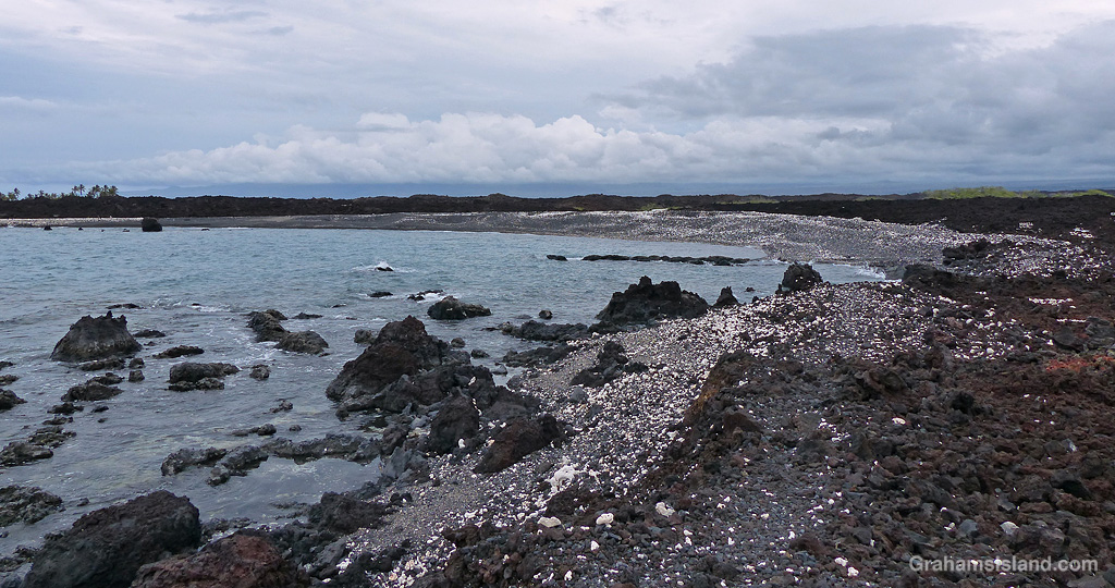
Heading back to the coast, the trail comes out at Pueo Bay where I found an abandoned kayak, not in great condition. Keawaiki beach, just beyond, is another bay marked by a sole palm tree, but this poor tree has been badly damaged by storms and is no longer much of a tree.


Heading back north, I passed the sole house on this part of the coast, just beyond Weliweli Point. I have yet to see anyone at this spot, though someone obviously maintains the property. I got back to the bay where I had strayed off the track and realized where I’d gone wrong. The coast trail zigzags up from the beach and is marked only by a couple of pieces of bleached coral, which don’t stand out much on a beach strewn with the same kinds of coral pieces.
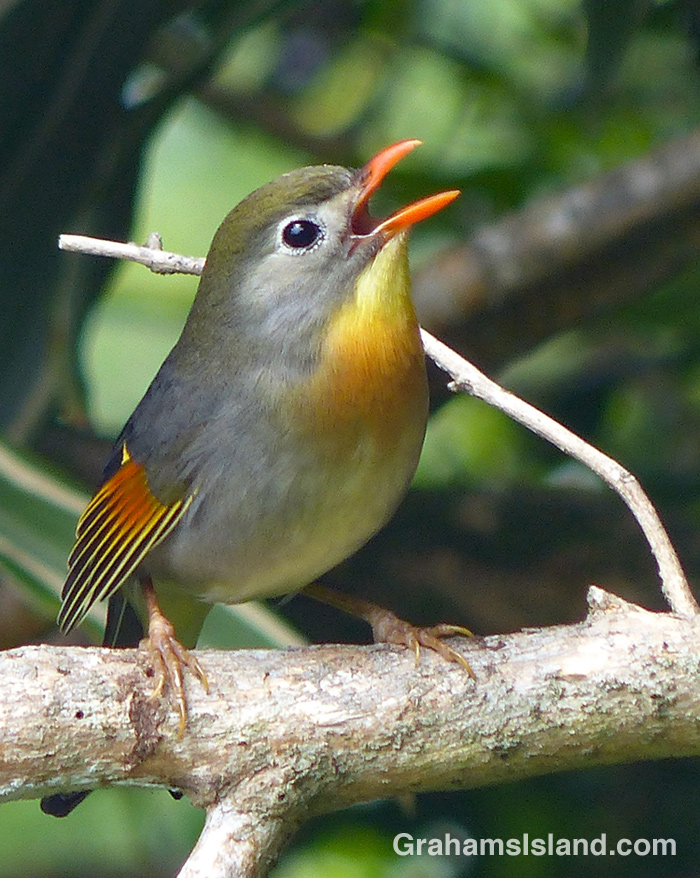
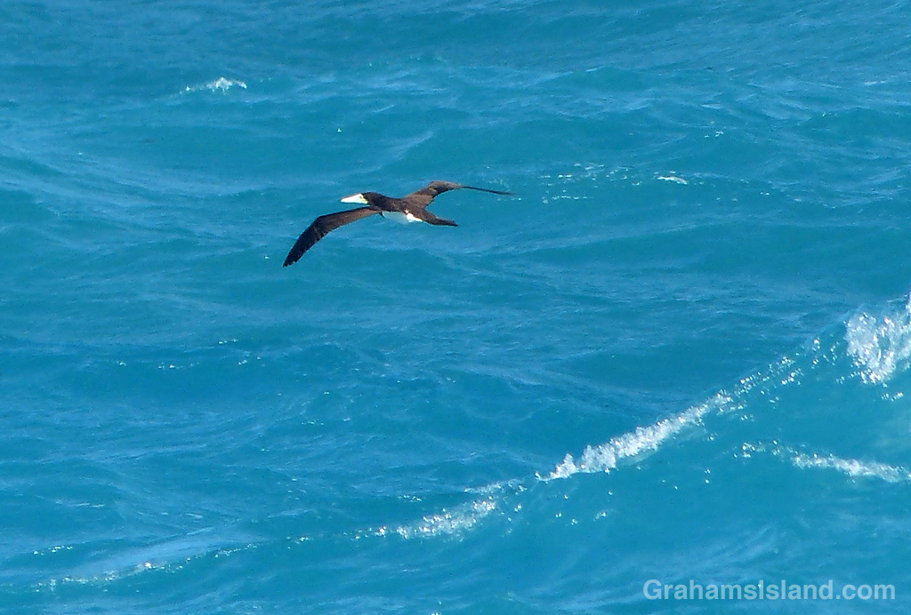
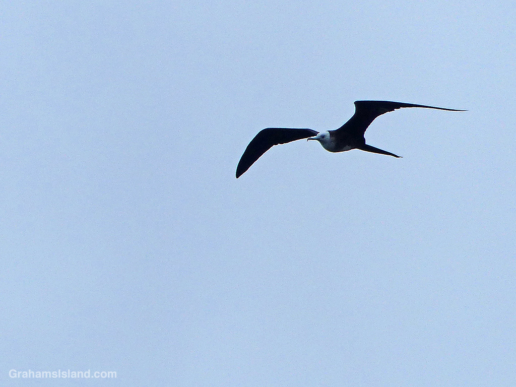
This trail isn’t a great one for birds, but I did see a Great Frigatebird wheeling overhead, which is always nice. And though this coast appears unforgiving, there are hardy plants to be found including native Hau trees and swathes of Beach Naupaka.

By the time I got back to A Bay, the Lava Lava Beach Club was busy with dinner patrons, enjoying their meals at tables set up on the sand and close to the water.

Also posted for Jo’s Monday Walk. See more responses here.


This week’s Sunday Stills challenge theme is ‘Roads, Paths, and Streets.’ See more responses here.
After a recent hike off Saddle Road, I had time to take a drive up one of my favorite roads on the island, which leads to the Mauna Loa Observatory. Well, it used to; it doesn’t get there anymore. That’s because a flow from last fall’s eruption of Mauna Loa crossed the road a few miles short of its destination. I was curious to see what the scene looked like now.
The cloudy skies added some atmosphere to the drive which was, as always, a lot of fun. It’s a winding one lane road, so even though there’s little traffic, one has to pay attention. Any distraction could result in driving off the road into the inhospitable lava fields bordering it.
I confess, my secret hope was that, when I arrived at the flow, there would be a sign saying ‘Road Closed.’ Alas, that was not the case. Clearly, the Department of Transportation figured the seven foot high wall of lava conveyed the message well enough on its own. The only sign there warned against walking on the new flow. I didn’t need that warning. This is a’a lava which is really hard to walk on anyway, and in a new flow it could be quite unstable and even harbor pockets where one could fall through into still hot lava! Still, I’m sure some folks have clambered up there just because it’s there.
I took a few photos, then turned around and headed back down, not least because it was damp, windy and I was freezing, which is not why anyone comes to, or lives in, Hawaii.

On the drive down, I got a good view of the HI-SEAS (Hawai’i Space Exploration Analog and Simulation) dome. This is where teams of volunteers do research for what it would be like to be living on the Moon or Mars. I’m not sure if it’s in use since the COVID shutdown, but at least it survived the last eruption.
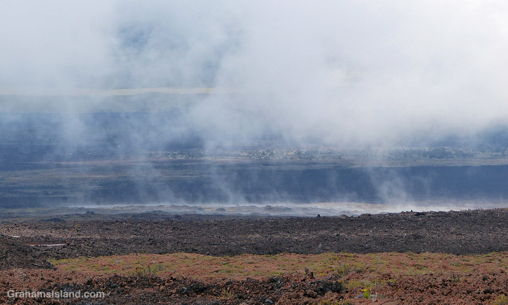
Farther down, the land seemed to be steaming, but in the saddle between Mauna Kea and Mauna Loa, the weather often seems to be part of the landscape.

And the views, which change with every twist in the road, are strange and stunning and wonderful. It may not be possible currently to reach the end of the road, but it’s still a great drive.
