This week’s Sunday Stills challenge theme is ‘Great Outdoors.’ See more responses here.
In Hawaii, people spend a great deal of time outdoors. It’s common for people to have an outdoor kitchen, sometimes their only kitchen, sometimes a second one where a barbecue is the featured cooking apparatus. Carports often feature chairs and tables with cars parked elsewhere. The lanai, or deck, is as well-used as any room in the house.
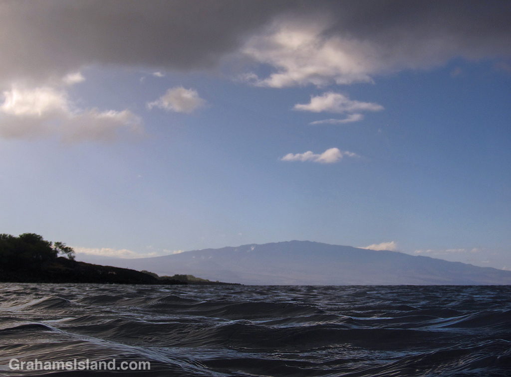
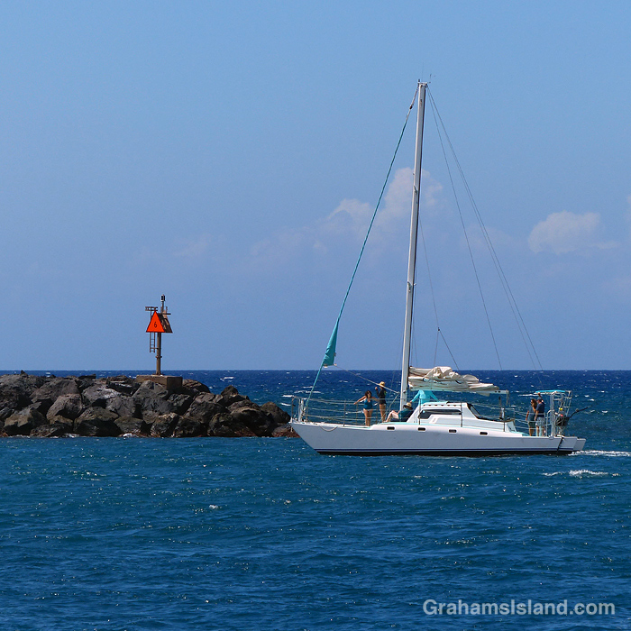
Outdoor activities are popular here, too. Many involve the ocean and its inviting water: swimming, snorkeling, paddling, and of course surfing. Plenty of people go fishing and hunting, longtime sources of food for the table.
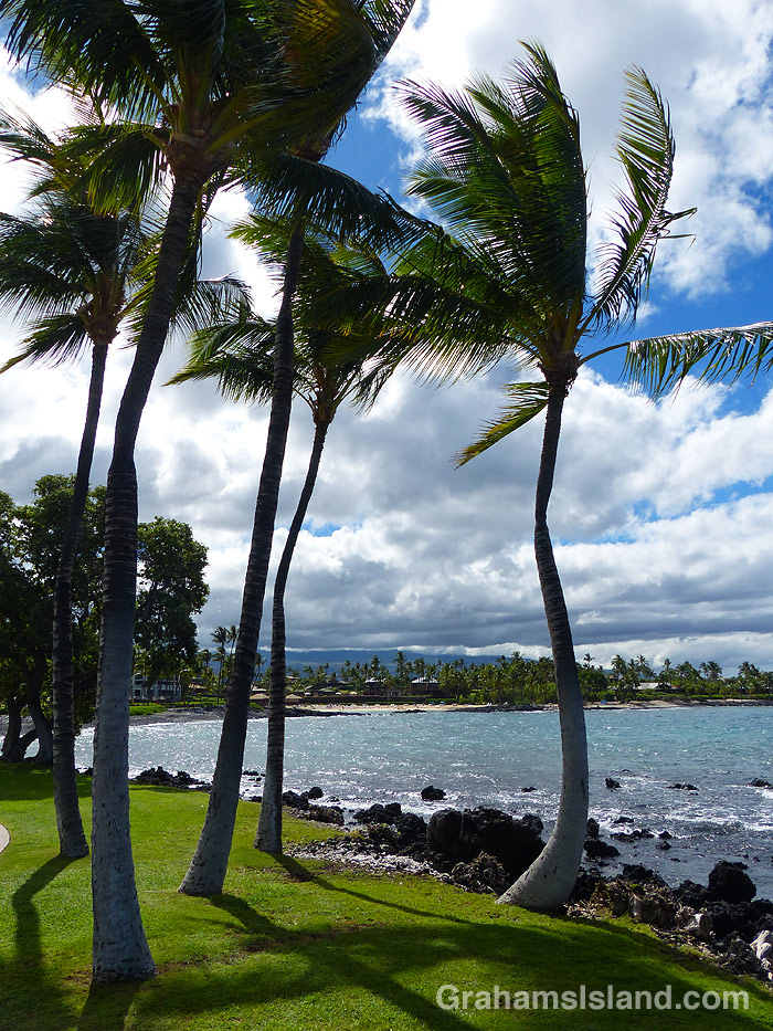
Palm trees on the coast. 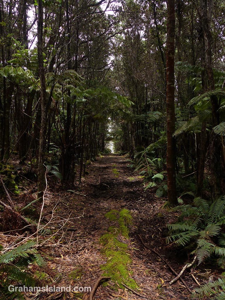
A trail through the woods. 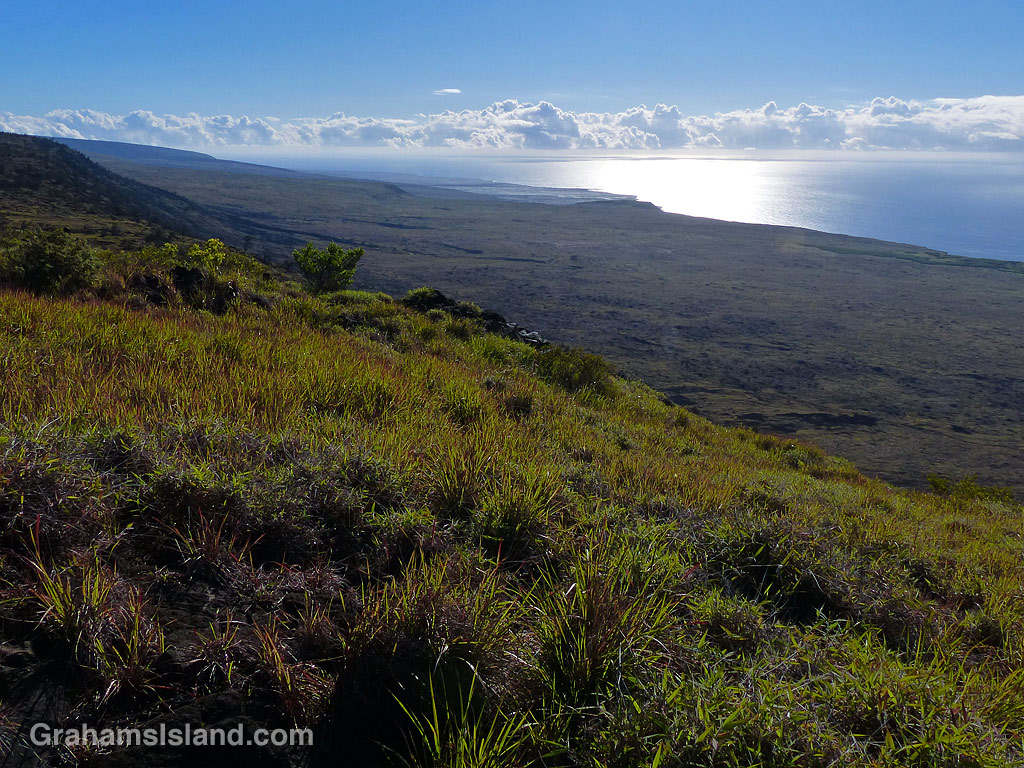
A view from the Hilina Pali Trail. 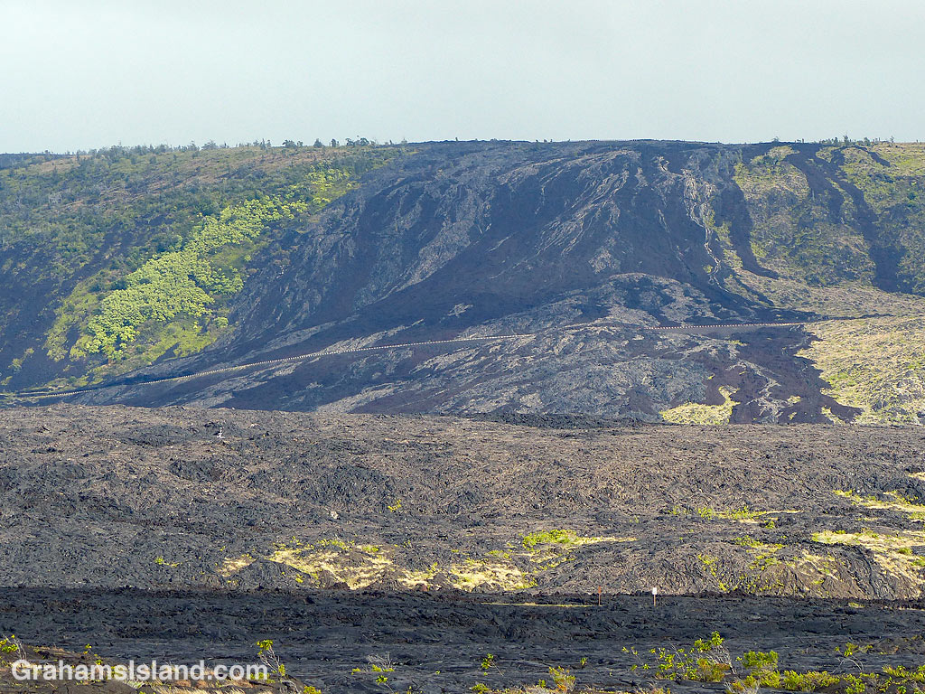
View of an old flow over Holei Pali.
For me, experiencing the great outdoors primarily involves hiking and snorkeling. Hiking isn’t especially popular here, especially along the coast where it can get quite hot. I get strange looks when I hike the length of popular beaches togged out in hiking gear, including shoes, hat, and fanny pack loaded with water. For most, the beach is a place for stretching out and broiling in the sun, not actively working up a sweat.
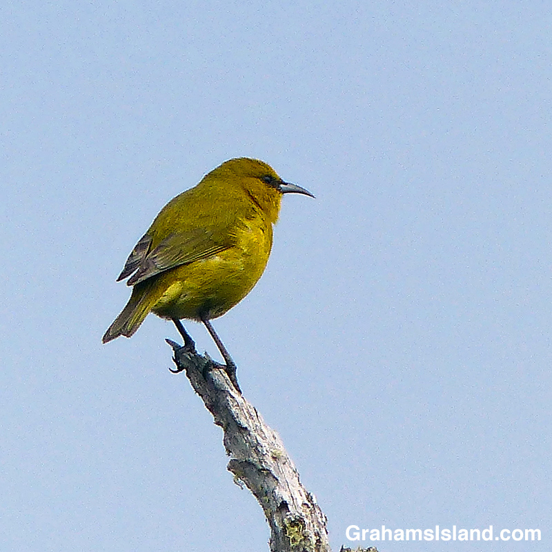
Hawaii Amakihi 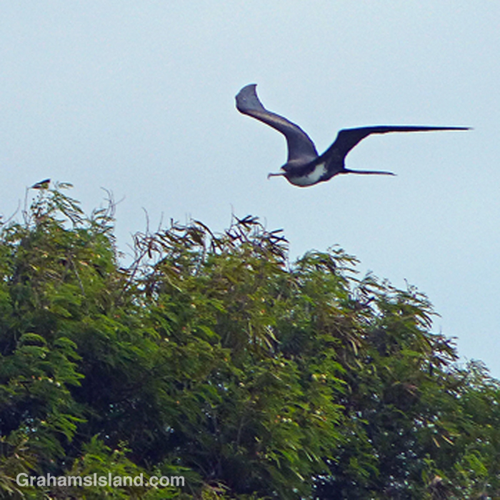
Great Frigatebird 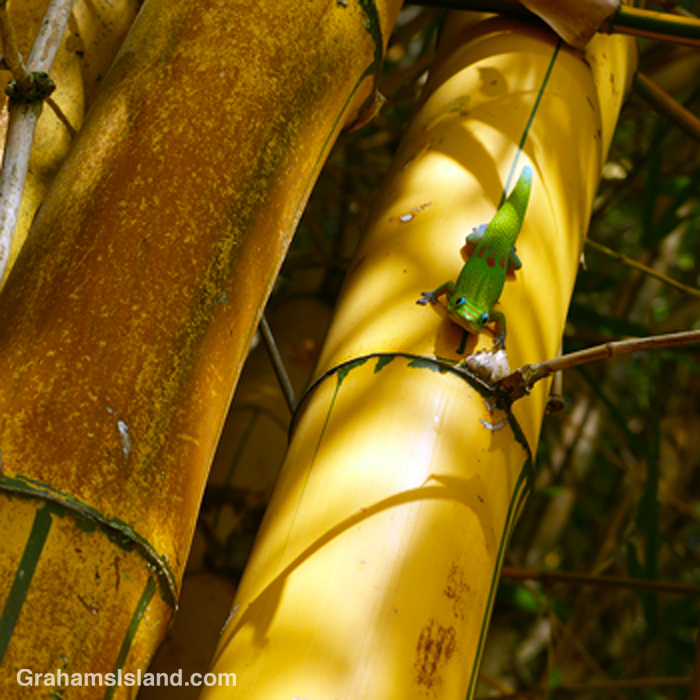
A gecko on yellow bamboo. 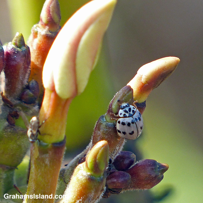
An ashy grey lady beetle on Plumeria.
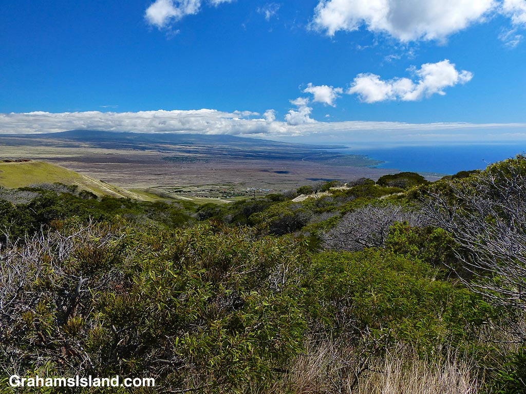
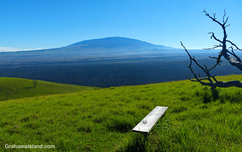
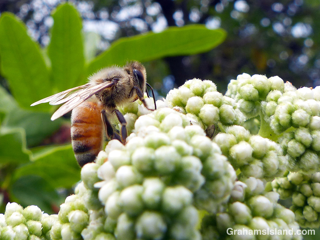
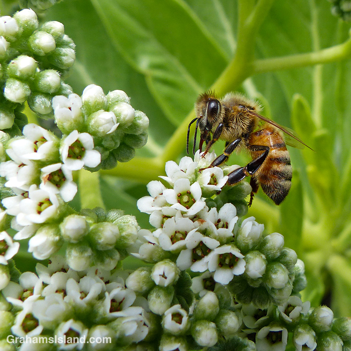
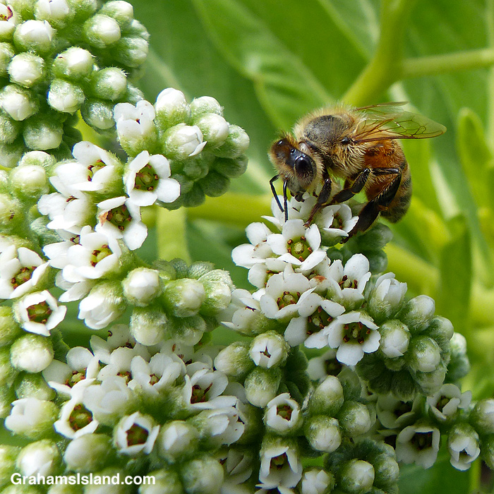
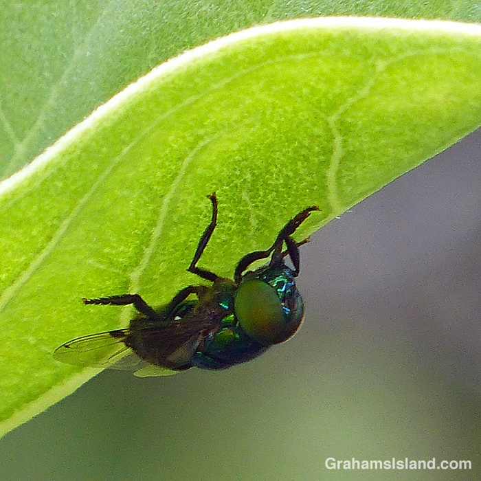
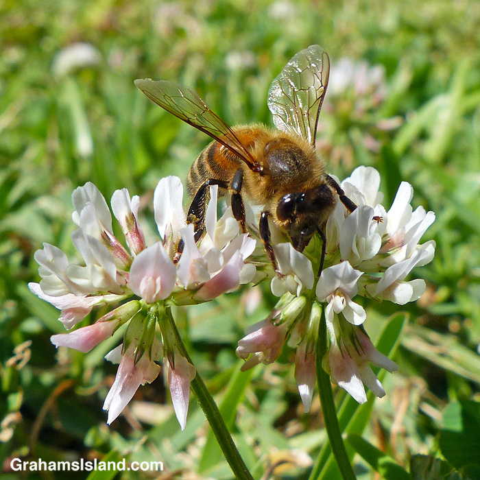
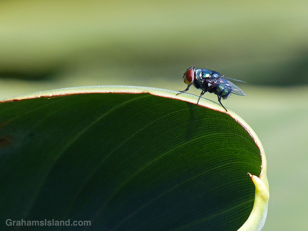
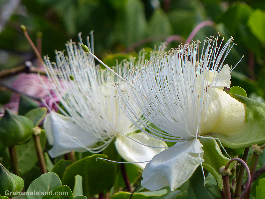
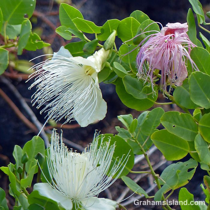
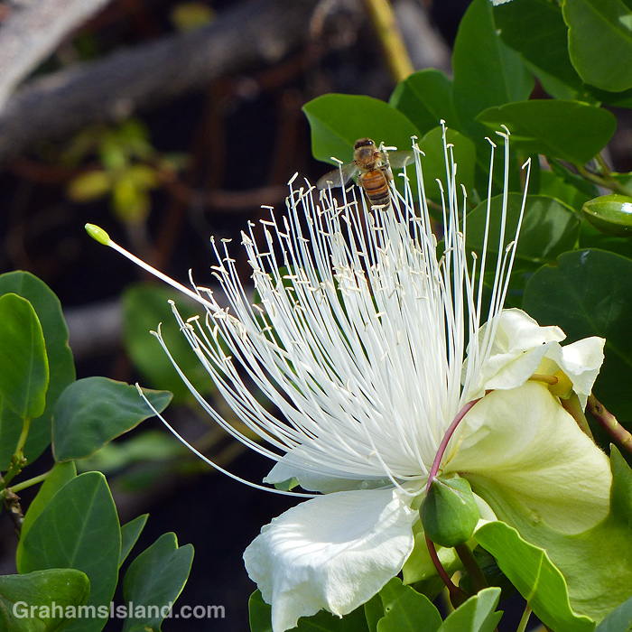
The vast majority of photos on this blog are taken in the great outdoors. These photos are a small selection of things I’ve seen while out and about, from sweeping views to birds and bugs.